The curled tip
Provincetown sits inside the final hook of sand, its streets following the harbour in a long, thin strip with dunes behind them.
Minimalist xəritə posteri · Amerika Birləşmiş Ştatları
41.7987° N / 70.3085° W
A peninsula bent like a flexed arm, curling north to a sandy hook at Provincetown and cut from the mainland by a canal


Bir şəhər, beş əhval
Divarda necə görünəcəyinə baxmaq üçün üzərinə toxunun. Bütün üslublar eyni qiymətə başa gəlir — çap, çərçivəli və ya HD fayl formasında.
 Əsl piksellər · 24 × 36″ çap faylı
Çapda kəskin
Bu, əsl çap faylının 100% böyüdülmüş hissəsidir. Hər poster — çap olunmuş, çərçivəli və ya endirilmiş — serverlərimizdə 300 DPI, 7,200 × 10,800 pikselə qədər keyfiyyətlə hazırlanır, ona görə 24 × 36″ çapda ən nazik yollar belə aydın qalır.
Divarda
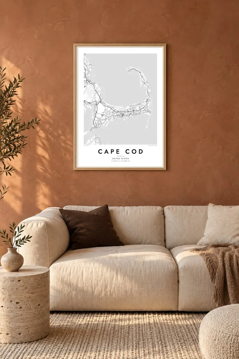
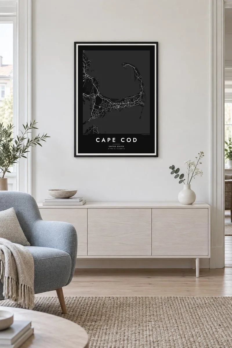
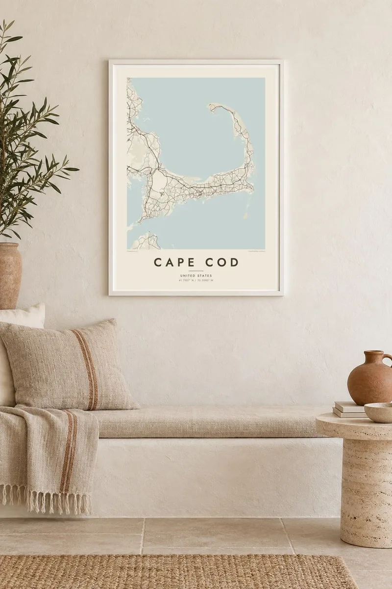
Xəritə
Cape Cod reaches into the Atlantic from southeastern Massachusetts, and its outline is one of the most recognisable on the American coast. The land runs east from the mainland, turns north at the elbow near Chatham and ends in a curled fist of dunes around Provincetown. The inner curve encloses Cape Cod Bay, while the outer shore faces the open ocean.
The Pilgrims first anchored in Provincetown Harbor in 1620 and signed the Mayflower Compact there before sailing on to Plymouth. The Cape Cod Canal opened across the base of the peninsula in 1914, and today two high bridges, the Bourne and the Sagamore, carry traffic over it. Much of the outer shore is protected as the Cape Cod National Seashore.
A Cape Cod map poster shows land dotted with ponds, many of them kettle ponds left behind by retreating glaciers, along with harbours, salt marshes and long barrier beaches. Route 6 runs the length of the Cape as its main spine, and the village centres on both shores appear as small street networks among winding lanes and inlets.
Provincetown sits inside the final hook of sand, its streets following the harbour in a long, thin strip with dunes behind them.
A straight channel cuts across the base of the peninsula, crossed by the Bourne and Sagamore bridges, visibly separating the Cape from the mainland.
Hundreds of small, rounded ponds are scattered across the interior, giving the land a speckled texture unlike any other stretch of the New England coast.
Özünüzə uyğunlaşdırın
Tarix, ad və ya öz sözlərinizi əlavə edin, üslubu, ölçünü və ya istiqaməti dəyişin.
Pulsuz önizləmə aşağı keyfiyyətli və filiqranlıdır. Çap və HD fayllar filiqransız, 300 DPI, 7,200 × 10,800 px-ə qədər keyfiyyətlə hazırlanır.
Niyə Cape Cod
For families with a summer cottage, a favourite beach or a long history of trips over the Sagamore Bridge, the whole Cape in one frame makes a natural keepsake. Personalise the title with a town or family name, and use the subtitle for a year or a date.
Pick from Classic black & white, Noir, Paper, Blueprint and Sand. A free 900 px watermarked preview shows the composition before you buy, and printed posters on matte paper can be ordered with a wooden frame from partners in more than 30 countries.
Cape Cod posterini sifariş et| Çap ölçüsü | Ölçülülük | Fayllar |
|---|---|---|
| 30 × 40 cm (11.8 × 15.7″) | 3,543 × 4,724 px | PNG · PDF |
| 29.7 × 42 cm (A3, 11.7 × 16.5″) | 3,508 × 4,961 px | PNG · PDF |
| 42 × 59.4 cm (A2, 16.5 × 23.4″) | 4,961 × 7,016 px | PNG · PDF |
| 45.7 × 61 cm (18 × 24″) | 5,400 × 7,200 px | PNG · PDF |
| 50 × 70 cm (19.7 × 27.6″) | 5,906 × 8,268 px | PNG · PDF |
| 61 × 91.4 cm (24 × 36″) | 7,200 × 10,800 px | PNG · PDF |
Müqayisə üçün: pulsuz önizləmə 900 px enindədir, su nişanlıdır və ekranlar üçün nəzərdə tutulub. HD faylların ölçülülüyü hər istiqamətdə 8 dəfəyədək yüksəkdir və tam poster ölçüsündə təmiz çap olunur.
Səhifənin yuxarısından bir üslub seçin, sonra Çap Olunmuş Poster — ölçü və istəyə görə çərçivə — və ya Rəqəmsal HD Fayllar arasından seçim edin. Ödəniş bir addımdan ibarətdir, ödəniş keçən kimi sifariş səhifəniz yenilənir.
O, 200 qram mat kağız üzərində, 30 × 40 sm-dən 24 × 36″-ə qədər altı ölçüdən birində çap olunur. Çap posterlərin qiyməti {printFrom}-dan başlayır, çatdırılma daxildir.
Bəli. Qara, ağ, təbii palıd və ya tünd rəngli taxta çərçivə seçə bilərsiniz. Sındırılmaz şüşə ilə gəlir və asmağa hazırdır. Çərçivəli posterlərin qiyməti {framedFrom}-dan başlayır, çatdırılma daxildir.
Çatdırılma bütün dünyada pulsuzdur. Hər poster 30-dan çox ölkədə olan tərəfdaşlarımızdan ən yaxınında çap olunur və adətən 3–7 iş günü ərzində çatır. Statusu və izləmə nömrəsini Sifarişlərim bölməsində görə bilərsiniz.
Çatdırılmadan sonra 14 gün ərzində bizə şəkil göndərin, pulsuz yenidən çap edərik və ya pulunuzu geri qaytararıq.
Bəli. Bu səhifədəki redaktorda başlığı, alt başlığı və koordinat sətrini istədiyiniz kimi dəyişin, üslub və ölçü seçin. Çap, çərçivəli və rəqəmsal sifarişlərin hamısı məhz sizin dizaynınızla hazırlanır.
$9 qarşılığında, filiqransız, 300 DPI PNG və çapa hazır PDF fayllarını bütün altı ölçüdə, hər yerdə çap edə biləcəyiniz formada əldə edirsiniz. Hələ qərarsızsınız? Əvvəlcə pulsuz filiqranlı önizləməni endirin.
Yaxınlıqda
