Meeting of valleys
Abriès sits at a junction of valleys, so streams and paths radiate from the village, giving the map a gathered centre with lines reaching outward.
Мінімалістычны постар з картай · Францыя
44.7953° N / 6.9272° E
A high Queyras village at a meeting of valleys near the Italian border, surrounded by wide mountain slopes.


Адзін горад — пяць настрояў
Дакраніцеся да стылю, каб убачыць яго на сцяне. Усе стылі каштуюць аднолькава — друкаваны варыянт, у раме або HD-файлы.
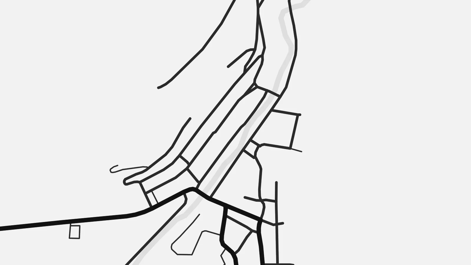 Рэальныя пікселі · файл для друку 24 × 36″
Выразна ў друку
Гэта 100% фрагмент сапраўднага файла для друку. Кожны постар — надрукаваны, у раме або спампаваны — рэндэрыцца на нашых серверах пры 300 DPI, да 7,200 × 10,800 пікселяў, таму нават самыя дробныя вулачкі застаюцца выразнымі пры друку 24 × 36″.
На сцяне


Карта
Abriès lies in the upper Guil valley, in the Queyras area of the Hautes-Alpes, close to the border with Italy. The village sits where side valleys join the main valley, and roads and paths head off in several directions from its compact centre. With a territory of about seventy-seven square kilometres, the commune is largely high mountain ground, and the village forms a small, dense point within it.
Abriès is part of the Queyras Regional Natural Park, known for its traditional wooden and stone houses, clear light and relatively quiet ski areas. The small ski slopes above the village make only a light mark on the map. Beyond them, streams, tracks and mountain paths spread outward through larch woods and pasture toward the frontier ridges.
An Abriès map poster places the village at the centre of a wide, open composition. The Guil and its tributaries draw fine lines through the valleys, a single road follows the river, and white space dominates the upper part of the frame. It is a spare and quietly striking print for those who know the far end of the Queyras.
Abriès sits at a junction of valleys, so streams and paths radiate from the village, giving the map a gathered centre with lines reaching outward.
The Guil runs through the commune along the main valley, accompanied by the road, a clear axis connecting the village to the rest of the Queyras.
East of the village the ground rises toward the mountains along the Italian border, rendered on the print as broad open space crossed by a few paths.
Зрабіце яго сваім
Дадайце дату, імя ці свой радок, змяніце стыль, памер або арыентацыю.
Бясплатны прэв'ю — нізкай якасці і з вадзяным знакам. Друкаваныя постары і HD-файлы рэндэрацца пры 300 DPI, да 7,200 × 10,800 пікселяў, без вадзянога знака.
Чаму Abriès
Abriès is a place people seek out for its distance from the largest resorts and its access to long walks and ski tours. A map records that sense of reaching the end of the road, and suits a study, a cabin or a quiet corner.
The title, subtitle and coordinates line can all be changed, and there are five styles: Classic black & white, Noir, Paper, Blueprint and Sand. The HD files cost $9 and cover six print sizes, while printed posters come on matte paper with an optional frame.
Замовіць постар Abriès| Памер друку | Раздзяляльнасць | Файлы |
|---|---|---|
| 30 × 40 cm (11.8 × 15.7″) | 3,543 × 4,724 px | PNG · PDF |
| 29.7 × 42 cm (A3, 11.7 × 16.5″) | 3,508 × 4,961 px | PNG · PDF |
| 42 × 59.4 cm (A2, 16.5 × 23.4″) | 4,961 × 7,016 px | PNG · PDF |
| 45.7 × 61 cm (18 × 24″) | 5,400 × 7,200 px | PNG · PDF |
| 50 × 70 cm (19.7 × 27.6″) | 5,906 × 8,268 px | PNG · PDF |
| 61 × 91.4 cm (24 × 36″) | 7,200 × 10,800 px | PNG · PDF |
Для параўнання: бясплатны прагляд мае шырыню 900 px, вадзяны знак і прызначаны для экранаў. HD-файлы маюць да 8× большую раздзяляльнасць па кожным баку і чыста друкуюцца ў поўным памеры постара.
Выберыце стыль уверсе старонкі, а потым — друкаваны постар (памер і, пры жаданні, раму) або лічбавыя HD-файлы. Афармленне заказу займае адзін крок, і старонка заказу абновіцца адразу пасля аплаты.
Ён друкуецца на прэміум матавай паперы 200 г/м² у адным з шасці памераў — ад 30 × 40 см да 24 × 36″. Друкаваныя постары каштуюць ад {printFrom}, дастаўка ўключана.
Так. Выберыце раму з масіву дрэва — чорную, белую, натуральны дуб або цёмнае дрэва. Яна пастаўляецца з ударамоцным шклом і гатовая да развешвання. Постары ў раме каштуюць ад {framedFrom}, дастаўка ўключана.
Дастаўка бясплатная па ўсім свеце. Кожны постар друкуецца найбліжэйшым з нашых друкарскіх партнёраў у больш чым 30 краінах і звычайна прыходзіць за 3–7 працоўных дзён. Статус і адсочванне можна праверыць у раздзеле «Мае заказы».
Дашліце нам фота на працягу 14 дзён пасля атрымання, і мы бясплатна надрукуем новы або вернем грошы.
Так. У рэдактары на гэтай старонцы зменіце загаловак, падзагаловак і радок з каардынатамі на што заўгодна, а таксама выберыце стыль і памер. Друкаваныя, у раме і лічбавыя заказы выкарыстоўваюць менавіта ваш дызайн.
За $9 вы атрымаеце PNG пры 300 DPI і гатовыя да друку PDF-файлы ва ўсіх шасці памерах, без вадзянога знака, для друку дзе заўгодна. Яшчэ не ўпэўненыя? Спачатку спампуйце бясплатны прэв'ю з вадзяным знакам.
