Barelang bridges
A chain of six bridges links Batam with the islands to its south, drawn as thin lines hopping across open water between coastlines.
Simpol poster blong map · Indonesia
1.1494° N / 104.0249° E
An island city facing Singapore across a narrow strait, its coastline ragged with bays, reservoirs and a chain of bridges.


Wan taon, faef filing
Klikim wan style blong luk hem antap long wol. Evri style i sem prais nomo — sapos yu prinim, putum insaed frem, o daonlodem olsem HD file.
 Trufala pixel · 24 × 36″ prin file
Klia blong prent
Hemia i wan 100% haf blong trufala prin file. Evri poster — sapos prinim, putum insaed frem, o daonlodem — mifala i wokem long server blong mifala long 300 DPI, kasem 7,200 × 10,800 pixel, mekem se nomata ol smol rod tu oli klia gud long wan 24 × 36″ prin.
Long wol


Map
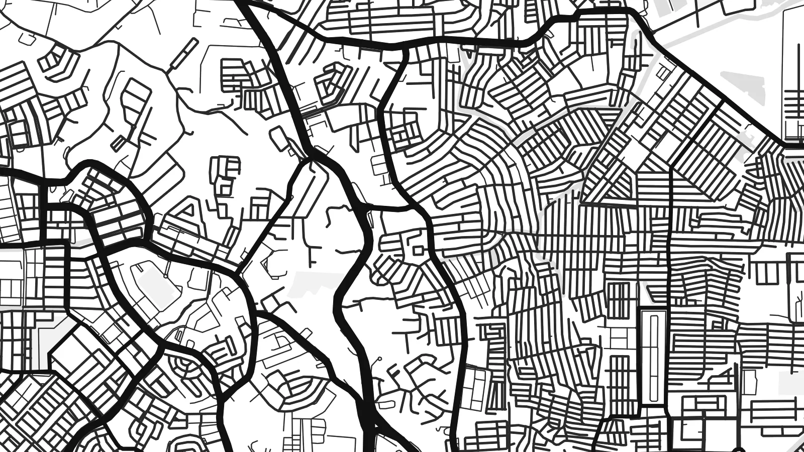
Batam is an island, and its map is defined by water on every side. The coastline is deeply indented with bays, inlets and mangrove edges, while the interior holds several reservoirs that collect the island's fresh water. Singapore lies only a short distance to the north across the Singapore Strait, reached by frequent ferries from Batam's harbours.
The urban pattern is scattered rather than centralised. Commercial districts such as Nagoya cluster near the northern coast, while industrial estates, housing areas and port facilities spread across the island along a network of main roads. Large blocks mark factories and shipyards, reflecting Batam's development as a free trade and manufacturing zone from the 1970s onward.
A Batam map poster shows a place shaped by its position on one of the world's busiest shipping routes. To the south, the Barelang bridges connect Batam to the neighbouring islands of Rempang and Galang.
A chain of six bridges links Batam with the islands to its south, drawn as thin lines hopping across open water between coastlines.
Several inland reservoirs appear as irregular water shapes within the island, giving the interior its own set of shorelines.
The northern coast faces the Singapore Strait, with ferry terminals and harbour basins marking the closest point to the neighbouring city-state.
Mekem i blong yu
Putum wan dei, wan nem o wan laen blong yu, jenisim stael, saes o saed.
Fri preview i lo-resolusen mo i gat watermak. Prin mo HD file oli wok long 300 DPI, kasem 7,200 × 10,800 px, i no gat watermak.
From wanem Batam
Batam draws people for work, for weekend trips from Singapore and for its coast. A map of the island records all of that in one clear outline, with the sea giving it a strong frame.
Add your own title, a subtitle for a year or a project, and a coordinates line, then choose between Classic black & white, Noir, Paper, Blueprint and Sand for the finished poster.
Odarem poster blong Batam| Saes blong prent | Rezolusen | Ol fael |
|---|---|---|
| 30 × 40 cm (11.8 × 15.7″) | 3,543 × 4,724 px | PNG · PDF |
| 29.7 × 42 cm (A3, 11.7 × 16.5″) | 3,508 × 4,961 px | PNG · PDF |
| 42 × 59.4 cm (A2, 16.5 × 23.4″) | 4,961 × 7,016 px | PNG · PDF |
| 45.7 × 61 cm (18 × 24″) | 5,400 × 7,200 px | PNG · PDF |
| 50 × 70 cm (19.7 × 27.6″) | 5,906 × 8,268 px | PNG · PDF |
| 61 × 91.4 cm (24 × 36″) | 7,200 × 10,800 px | PNG · PDF |
Blong yu save komperem, fri priviu i 900 px long waed, i gat wotamak mo i blong skrin nomo. Ol HD fael oli gat kasem 8× moa rezolusen long evri saed mo oli prent klia long ful saes blong poster.
Jusum wan style antap long pej, biaen jusum Prinim Poster — wan saes mo, sapos yu wantem, wan frem — o Digital HD Files. Pemen i wan step nomo, mo pej blong oda blong yu i apdet stret taem pemen i pas.
Mifala i prinim long gudfala 200 gsm matte pepa, long wan long 6 saes, statem long 30 × 40 cm kasem 24 × 36″. Prin poster i statem long $39, sipin i insaed finis.
Yes. Jusum wan strong wud frem long kala blak, waet, natural oak, o tudak wud. I gat glas we i no save brok isi, mo i rere blong hangem stret. Poster wetem frem i statem long $99, sipin i insaed finis.
Delivri blong poster i fri long olgeta ples long wol. Wan wan poster i prin long wan long ol prin patna blong mifala we i kolosap moa long yu, long moa long 30 kantri, mo bambae i kasem yu long 3–7 wokdei. Yu save lukluk stetes mo trakin long My Orders. Sam kantri i tekem 2–5 wik, mo long ol ples we mifala i no save sendem yet, saet i talem yu bifo yu pem.
Sendem wan foto long mifala insaed 14 dei afta i kasem yu, mo mifala bae i prinim wan niufala fri o givim bak mane blong yu.
Yes. Long editor long pej ya, jenisim taetol, sabtaetol, mo laen blong koordinet i go long wanem yu wantem, mo jusum wan style mo saes. Prin, frem, mo digital oda oli yusum stret design blong yu.
Long $9 yu kasem 300 DPI PNG mo PDF file we i rere blong prinim, long evri 6 saes, i no gat watermak, mo yu save prinim long enisave ples. Yu no sua yet? Daonlodem wan fri preview wetem watermak fastaem.
Klosap
