Meeting grids
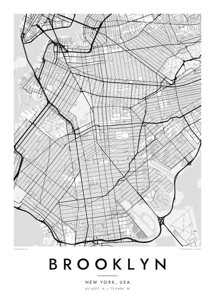
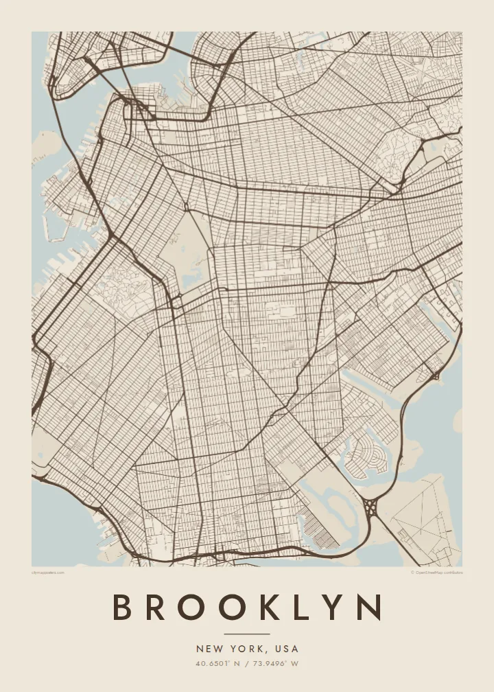
Brooklyn's streets form several grids that meet at different angles, following the plans of earlier towns. This makes the map more varied than Manhattan's.
Simpol poster blong map · United States
40.6501° N / 73.9496° W
A borough of colliding street grids, a great park and long shorelines facing Manhattan and the Atlantic


Wan taon, faef filing
Klikim wan style blong luk hem antap long wol. Evri style i sem prais nomo — sapos yu prinim, putum insaed frem, o daonlodem olsem HD file.
 Trufala pixel · 24 × 36″ prin file
Klia blong prent
Hemia i wan 100% haf blong trufala prin file. Evri poster — sapos prinim, putum insaed frem, o daonlodem — mifala i wokem long server blong mifala long 300 DPI, kasem 7,200 × 10,800 pixel, mekem se nomata ol smol rod tu oli klia gud long wan 24 × 36″ prin.
Long wol

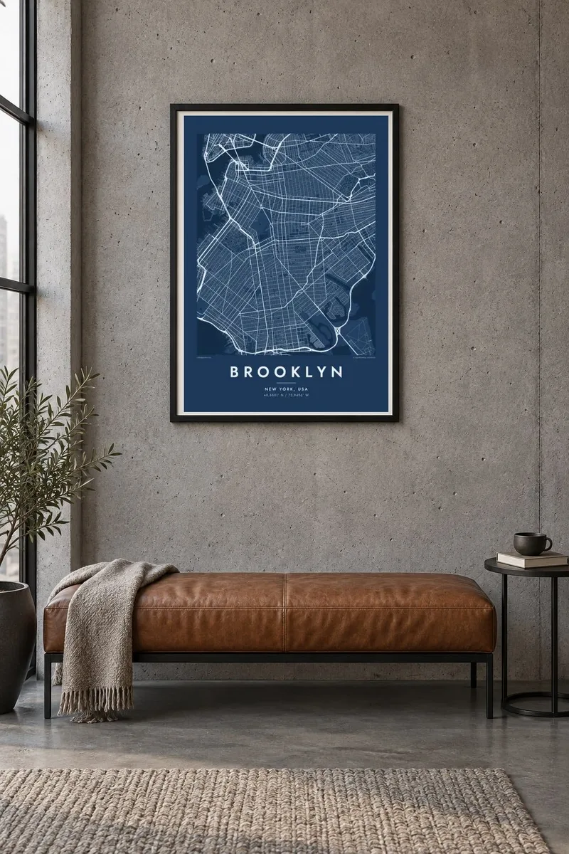

Map
Brooklyn occupies the western end of Long Island, facing Manhattan across the East River. From above, it is a patchwork of street grids that meet at different angles. Each grid reflects the villages and towns that were joined together as Brooklyn grew into a city of its own, before becoming part of New York City in 1898.
Prospect Park forms a large green space in the middle of the borough, next to Green-Wood Cemetery with its winding paths. The Gowanus Canal cuts a straight line inland from the harbour. Long avenues, such as Ocean Parkway, run toward the southern shore and Coney Island.
The Brooklyn Bridge and Manhattan Bridge link the borough to Manhattan in the northwest. To the southeast, Jamaica Bay's marshes and islands form an irregular edge. A Brooklyn map poster shows how the grids, parks and waterfronts fit together in this large and varied borough.
Brooklyn's streets form several grids that meet at different angles, following the plans of earlier towns. This makes the map more varied than Manhattan's.
A large park in the centre of the borough, with meadows, woods and a lake. On the map it forms a big green shape surrounded by dense blocks.
This narrow, straight canal runs inland from the harbour, cutting through the street grid in a clear line near Park Slope and Carroll Gardens.
Mekem i blong yu
Putum wan dei, wan nem o wan laen blong yu, jenisim stael, saes o saed.
Fri preview i lo-resolusen mo i gat watermak. Prin mo HD file oli wok long 300 DPI, kasem 7,200 × 10,800 px, i no gat watermak.
From wanem Brooklyn
Brooklyn is home to many people who identify with their neighbourhood as strongly as with the city itself. A map of the grids, the park and the shorelines is a personal way to mark that connection.
You can set your own title, subtitle and coordinates, for example your neighbourhood or a moving date, and choose from Classic black & white, Noir, Paper, Blueprint and Sand. Get it as a digital file or printed poster.
Odarem poster blong Brooklyn| Saes blong prent | Rezolusen | Ol fael |
|---|---|---|
| 30 × 40 cm (11.8 × 15.7″) | 3,543 × 4,724 px | PNG · PDF |
| 29.7 × 42 cm (A3, 11.7 × 16.5″) | 3,508 × 4,961 px | PNG · PDF |
| 42 × 59.4 cm (A2, 16.5 × 23.4″) | 4,961 × 7,016 px | PNG · PDF |
| 45.7 × 61 cm (18 × 24″) | 5,400 × 7,200 px | PNG · PDF |
| 50 × 70 cm (19.7 × 27.6″) | 5,906 × 8,268 px | PNG · PDF |
| 61 × 91.4 cm (24 × 36″) | 7,200 × 10,800 px | PNG · PDF |
Blong yu save komperem, fri priviu i 900 px long waed, i gat wotamak mo i blong skrin nomo. Ol HD fael oli gat kasem 8× moa rezolusen long evri saed mo oli prent klia long ful saes blong poster.
Jusum wan style antap long pej, biaen jusum Prinim Poster — wan saes mo, sapos yu wantem, wan frem — o Digital HD Files. Pemen i wan step nomo, mo pej blong oda blong yu i apdet stret taem pemen i pas.
Mifala i prinim long gudfala 200 gsm matte pepa, long wan long 6 saes, statem long 30 × 40 cm kasem 24 × 36″. Prin poster i statem long $39, sipin i insaed finis.
Yes. Jusum wan strong wud frem long kala blak, waet, natural oak, o tudak wud. I gat glas we i no save brok isi, mo i rere blong hangem stret. Poster wetem frem i statem long $99, sipin i insaed finis.
Delivri blong poster i fri long olgeta ples long wol. Wan wan poster i prin long wan long ol prin patna blong mifala we i kolosap moa long yu, long moa long 30 kantri, mo bambae i kasem yu long 3–7 wokdei. Yu save lukluk stetes mo trakin long My Orders. Sam kantri i tekem 2–5 wik, mo long ol ples we mifala i no save sendem yet, saet i talem yu bifo yu pem.
Sendem wan foto long mifala insaed 14 dei afta i kasem yu, mo mifala bae i prinim wan niufala fri o givim bak mane blong yu.
Yes. Long editor long pej ya, jenisim taetol, sabtaetol, mo laen blong koordinet i go long wanem yu wantem, mo jusum wan style mo saes. Prin, frem, mo digital oda oli yusum stret design blong yu.
Long $9 yu kasem 300 DPI PNG mo PDF file we i rere blong prinim, long evri 6 saes, i no gat watermak, mo yu save prinim long enisave ples. Yu no sua yet? Daonlodem wan fri preview wetem watermak fastaem.
Klosap
