The curled tip
Provincetown sits inside the final hook of sand, its streets following the harbour in a long, thin strip with dunes behind them.
Simpol poster blong map · United States
41.7987° N / 70.3085° W
A peninsula bent like a flexed arm, curling north to a sandy hook at Provincetown and cut from the mainland by a canal


Wan taon, faef filing
Klikim wan style blong luk hem antap long wol. Evri style i sem prais nomo — sapos yu prinim, putum insaed frem, o daonlodem olsem HD file.
 Trufala pixel · 24 × 36″ prin file
Klia blong prent
Hemia i wan 100% haf blong trufala prin file. Evri poster — sapos prinim, putum insaed frem, o daonlodem — mifala i wokem long server blong mifala long 300 DPI, kasem 7,200 × 10,800 pixel, mekem se nomata ol smol rod tu oli klia gud long wan 24 × 36″ prin.
Long wol
Map
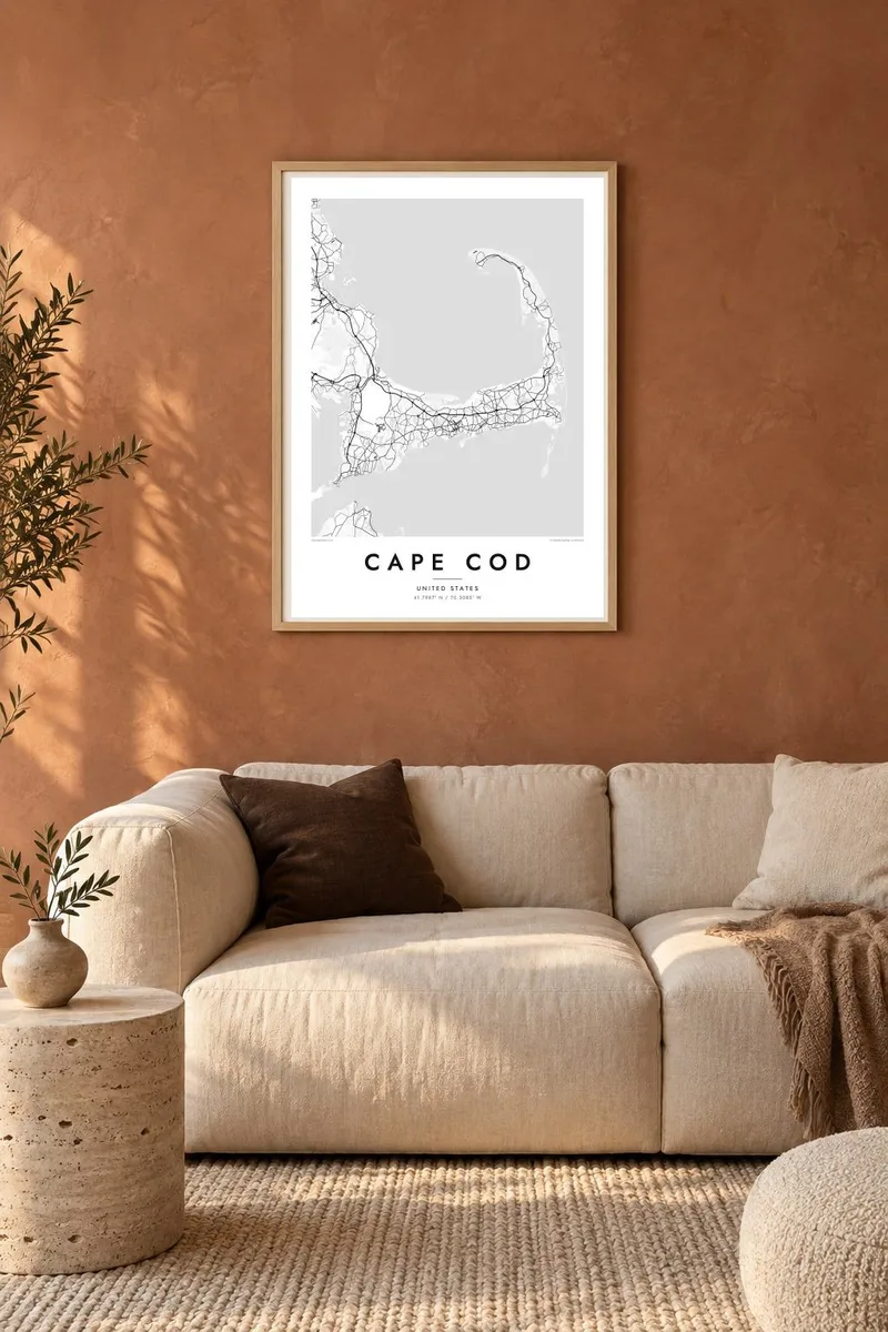
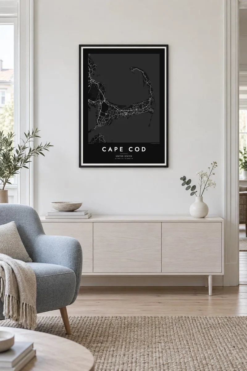
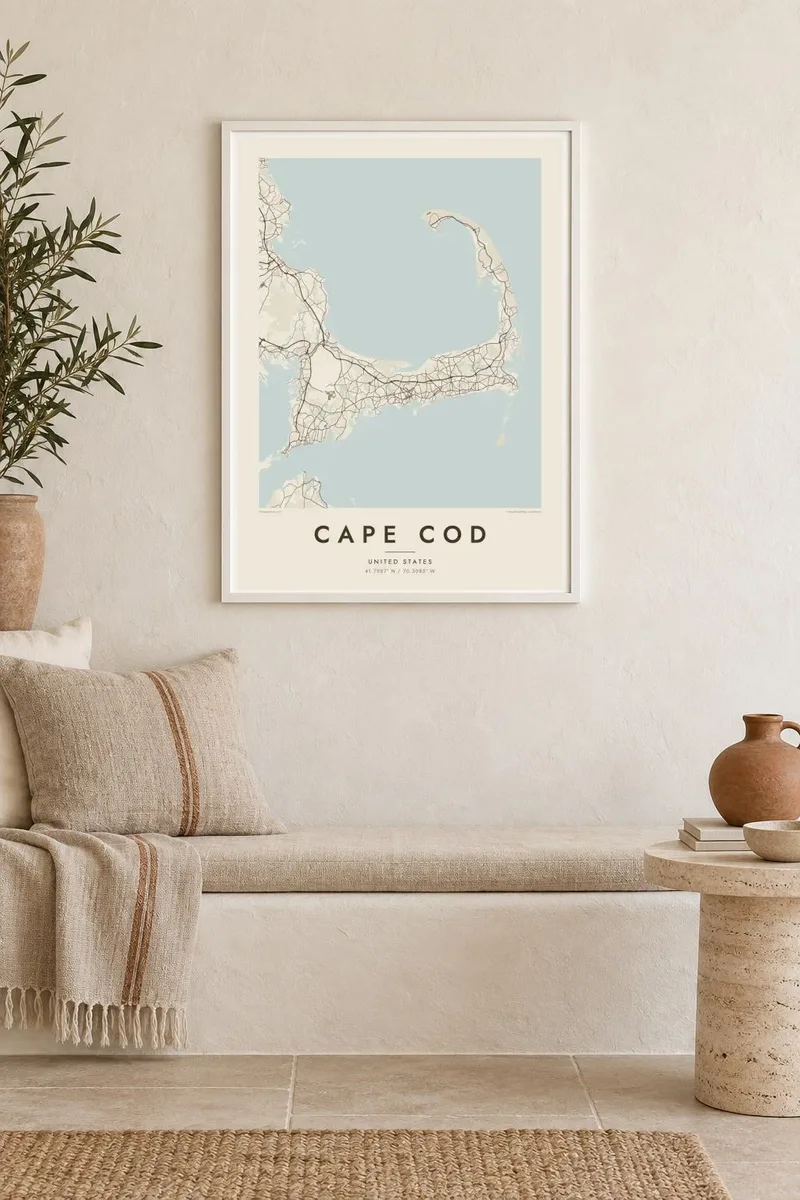
Cape Cod reaches into the Atlantic from southeastern Massachusetts, and its outline is one of the most recognisable on the American coast. The land runs east from the mainland, turns north at the elbow near Chatham and ends in a curled fist of dunes around Provincetown. The inner curve encloses Cape Cod Bay, while the outer shore faces the open ocean.
The Pilgrims first anchored in Provincetown Harbor in 1620 and signed the Mayflower Compact there before sailing on to Plymouth. The Cape Cod Canal opened across the base of the peninsula in 1914, and today two high bridges, the Bourne and the Sagamore, carry traffic over it. Much of the outer shore is protected as the Cape Cod National Seashore.
A Cape Cod map poster shows land dotted with ponds, many of them kettle ponds left behind by retreating glaciers, along with harbours, salt marshes and long barrier beaches. Route 6 runs the length of the Cape as its main spine, and the village centres on both shores appear as small street networks among winding lanes and inlets.
Provincetown sits inside the final hook of sand, its streets following the harbour in a long, thin strip with dunes behind them.
A straight channel cuts across the base of the peninsula, crossed by the Bourne and Sagamore bridges, visibly separating the Cape from the mainland.
Hundreds of small, rounded ponds are scattered across the interior, giving the land a speckled texture unlike any other stretch of the New England coast.
Mekem i blong yu
Putum wan dei, wan nem o wan laen blong yu, jenisim stael, saes o saed.
Fri preview i lo-resolusen mo i gat watermak. Prin mo HD file oli wok long 300 DPI, kasem 7,200 × 10,800 px, i no gat watermak.
From wanem Cape Cod
For families with a summer cottage, a favourite beach or a long history of trips over the Sagamore Bridge, the whole Cape in one frame makes a natural keepsake. Personalise the title with a town or family name, and use the subtitle for a year or a date.
Pick from Classic black & white, Noir, Paper, Blueprint and Sand. A free 900 px watermarked preview shows the composition before you buy, and printed posters on matte paper can be ordered with a wooden frame from partners in more than 30 countries.
Odarem poster blong Cape Cod| Saes blong prent | Rezolusen | Ol fael |
|---|---|---|
| 30 × 40 cm (11.8 × 15.7″) | 3,543 × 4,724 px | PNG · PDF |
| 29.7 × 42 cm (A3, 11.7 × 16.5″) | 3,508 × 4,961 px | PNG · PDF |
| 42 × 59.4 cm (A2, 16.5 × 23.4″) | 4,961 × 7,016 px | PNG · PDF |
| 45.7 × 61 cm (18 × 24″) | 5,400 × 7,200 px | PNG · PDF |
| 50 × 70 cm (19.7 × 27.6″) | 5,906 × 8,268 px | PNG · PDF |
| 61 × 91.4 cm (24 × 36″) | 7,200 × 10,800 px | PNG · PDF |
Blong yu save komperem, fri priviu i 900 px long waed, i gat wotamak mo i blong skrin nomo. Ol HD fael oli gat kasem 8× moa rezolusen long evri saed mo oli prent klia long ful saes blong poster.
Jusum wan style antap long pej, biaen jusum Prinim Poster — wan saes mo, sapos yu wantem, wan frem — o Digital HD Files. Pemen i wan step nomo, mo pej blong oda blong yu i apdet stret taem pemen i pas.
Mifala i prinim long gudfala 200 gsm matte pepa, long wan long 6 saes, statem long 30 × 40 cm kasem 24 × 36″. Prin poster i statem long {printFrom}, sipin i insaed finis.
Yes. Jusum wan strong wud frem long kala blak, waet, natural oak, o tudak wud. I gat glas we i no save brok isi, mo i rere blong hangem stret. Poster wetem frem i statem long {framedFrom}, sipin i insaed finis.
Sipin i fri long evri ples long wol. Evri poster i prinim long partna blong mifala we i klosap moa long yu, insaed long 30+ kantri, mo i kasem yu long 3–7 wok dei. Yu save lukluk stedi blong hem long My Orders.
Sendem wan foto long mifala insaed 14 dei afta i kasem yu, mo mifala bae i prinim wan niufala fri o givim bak mane blong yu.
Yes. Long editor long pej ya, jenisim taetol, sabtaetol, mo laen blong koordinet i go long wanem yu wantem, mo jusum wan style mo saes. Prin, frem, mo digital oda oli yusum stret design blong yu.
Long $9 yu kasem 300 DPI PNG mo PDF file we i rere blong prinim, long evri 6 saes, i no gat watermak, mo yu save prinim long enisave ples. Yu no sua yet? Daonlodem wan fri preview wetem watermak fastaem.
Klosap
