Mahakali River
The river runs through a deep valley and marks the border between Nepal and India, a narrow line between two towns on opposite banks.
Simpol poster blong map · Nepal
29.8300° N / 80.5500° E
A Himalayan border town above the Mahakali, streets clinging to a steep bank facing its Indian twin across the river


Wan taon, faef filing
Klikim wan style blong luk hem antap long wol. Evri style i sem prais nomo — sapos yu prinim, putum insaed frem, o daonlodem olsem HD file.
 Trufala pixel · 24 × 36″ prin file
Klia blong prent
Hemia i wan 100% haf blong trufala prin file. Evri poster — sapos prinim, putum insaed frem, o daonlodem — mifala i wokem long server blong mifala long 300 DPI, kasem 7,200 × 10,800 pixel, mekem se nomata ol smol rod tu oli klia gud long wan 24 × 36″ prin.
Long wol


Map
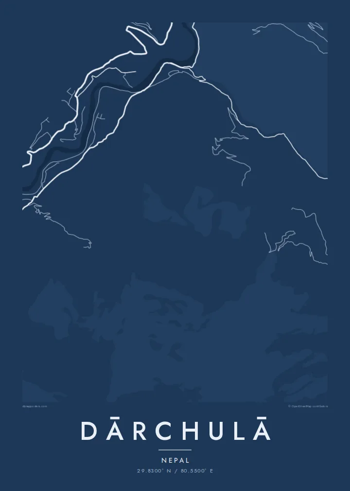
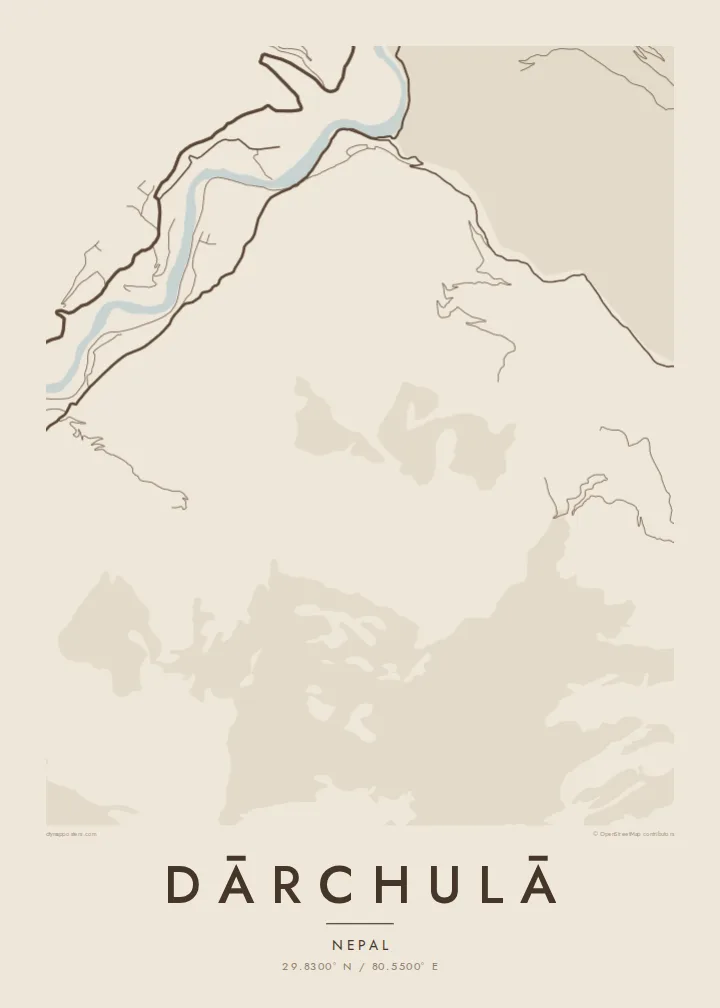
Dārchulā lies in the far west of Nepal, on the banks of the Mahakali River, which forms the border with India. The town is built into a steep valley slope, and the map shows its streets climbing the hillside in terraces, following the contours rather than forming a grid.
Across the river sits Dharchula in the Indian state of Uttarakhand, and the two towns face each other across the water, linked by a suspension bridge. On a map, the river appears as a narrow, fast-flowing line between two built-up banks, with steep mountains rising on both sides.
The Mahakali valley is part of an old route toward the Tibetan plateau and Mount Kailash, and the region has long been a crossing point for traders and pilgrims. A Dārchulā map poster captures a town shaped by mountains and a border, with the river at its centre.
The river runs through a deep valley and marks the border between Nepal and India, a narrow line between two towns on opposite banks.
A suspension bridge links Dārchulā with Dharchula in India, a short thin line across the river at the heart of the composition.
Streets and paths climb the steep slope in layers, their shapes following the contours of the mountainside above the river.
Mekem i blong yu
Putum wan dei, wan nem o wan laen blong yu, jenisim stael, saes o saed.
Fri preview i lo-resolusen mo i gat watermak. Prin mo HD file oli wok long 300 DPI, kasem 7,200 × 10,800 px, i no gat watermak.
From wanem Dārchulā
For people from Dārchulā, or those who have crossed the Mahakali on the way to the high Himalaya, this is a place that stays in the memory. A printed map is a quiet tribute to that valley.
Write a title in Nepali or English, add a subtitle and coordinates, and choose one of five styles. HD files cost $9 and include six print sizes as 300 DPI PNG and PDF, without a watermark.
Odarem poster blong Dārchulā| Saes blong prent | Rezolusen | Ol fael |
|---|---|---|
| 30 × 40 cm (11.8 × 15.7″) | 3,543 × 4,724 px | PNG · PDF |
| 29.7 × 42 cm (A3, 11.7 × 16.5″) | 3,508 × 4,961 px | PNG · PDF |
| 42 × 59.4 cm (A2, 16.5 × 23.4″) | 4,961 × 7,016 px | PNG · PDF |
| 45.7 × 61 cm (18 × 24″) | 5,400 × 7,200 px | PNG · PDF |
| 50 × 70 cm (19.7 × 27.6″) | 5,906 × 8,268 px | PNG · PDF |
| 61 × 91.4 cm (24 × 36″) | 7,200 × 10,800 px | PNG · PDF |
Blong yu save komperem, fri priviu i 900 px long waed, i gat wotamak mo i blong skrin nomo. Ol HD fael oli gat kasem 8× moa rezolusen long evri saed mo oli prent klia long ful saes blong poster.
Jusum wan style antap long pej, biaen jusum Prinim Poster — wan saes mo, sapos yu wantem, wan frem — o Digital HD Files. Pemen i wan step nomo, mo pej blong oda blong yu i apdet stret taem pemen i pas.
Mifala i prinim long gudfala 200 gsm matte pepa, long wan long 6 saes, statem long 30 × 40 cm kasem 24 × 36″. Prin poster i statem long {printFrom}, sipin i insaed finis.
Yes. Jusum wan strong wud frem long kala blak, waet, natural oak, o tudak wud. I gat glas we i no save brok isi, mo i rere blong hangem stret. Poster wetem frem i statem long {framedFrom}, sipin i insaed finis.
Delivri blong poster i fri long olgeta ples long wol. Wan wan poster i prin long wan long ol prin patna blong mifala we i kolosap moa long yu, long moa long 30 kantri, mo bambae i kasem yu long 3–7 wokdei. Yu save lukluk stetes mo trakin long My Orders. Sam kantri i tekem 2–5 wik, mo long ol ples we mifala i no save sendem yet, saet i talem yu bifo yu pem.
Sendem wan foto long mifala insaed 14 dei afta i kasem yu, mo mifala bae i prinim wan niufala fri o givim bak mane blong yu.
Yes. Long editor long pej ya, jenisim taetol, sabtaetol, mo laen blong koordinet i go long wanem yu wantem, mo jusum wan style mo saes. Prin, frem, mo digital oda oli yusum stret design blong yu.
Long $9 yu kasem 300 DPI PNG mo PDF file we i rere blong prinim, long evri 6 saes, i no gat watermak, mo yu save prinim long enisave ples. Yu no sua yet? Daonlodem wan fri preview wetem watermak fastaem.
Klosap
