Shrine forests
The grounds of Naikū and Gekū appear as broad open areas surrounded by streets. They are some of the largest calm shapes on the map, and they anchor the whole composition.
Simpol poster blong map · Japan
34.4833° N / 136.7000° E
A shrine city between forested hills and Ise Bay, laid out along two rivers and the old pilgrim roads.


Wan taon, faef filing
Klikim wan style blong luk hem antap long wol. Evri style i sem prais nomo — sapos yu prinim, putum insaed frem, o daonlodem olsem HD file.
 Trufala pixel · 24 × 36″ prin file
Klia blong prent
Hemia i wan 100% haf blong trufala prin file. Evri poster — sapos prinim, putum insaed frem, o daonlodem — mifala i wokem long server blong mifala long 300 DPI, kasem 7,200 × 10,800 pixel, mekem se nomata ol smol rod tu oli klia gud long wan 24 × 36″ prin.
Long wol


Map
Ise lies in Mie Prefecture on the Kii Peninsula, between Ise Bay to the north and steep, wooded hills to the south. The Miyagawa and Isuzu rivers cross the plain, and the city's streets follow the routes that pilgrims walked for centuries between the two main precincts of the Ise Grand Shrine.
The shrine is among the most important sites in Shinto. Its inner shrine, Naikū, is dedicated to the sun goddess Amaterasu, and the outer shrine, Gekū, stands closer to the city centre. The main shrine buildings are traditionally rebuilt every twenty years. The coastal district of Futami, known for the paired Meoto Iwa rocks, is also part of the city.
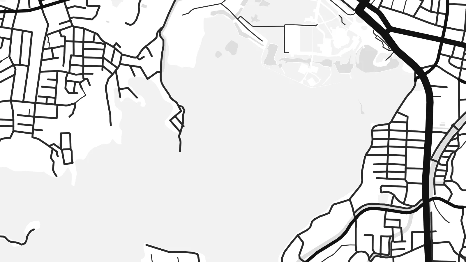
An Ise map poster shows a clear contrast. Dense streets gather near the railway stations and along the old approach to Naikū, while the shrine forests appear as large unbroken areas. Rivers wind through the middle, and the bay shore forms a long northern edge.
The grounds of Naikū and Gekū appear as broad open areas surrounded by streets. They are some of the largest calm shapes on the map, and they anchor the whole composition.
Two rivers cross the city on their way to the bay. They add flowing lines through the grid, and the Isuzu passes right beside the inner shrine.
Ise Bay forms the northern boundary. It gives the poster a long shoreline, and the Futami coast lies towards its eastern end.
Mekem i blong yu
Putum wan dei, wan nem o wan laen blong yu, jenisim stael, saes o saed.
Fri preview i lo-resolusen mo i gat watermak. Prin mo HD file oli wok long 300 DPI, kasem 7,200 × 10,800 px, i no gat watermak.
From wanem Ise
A visit to Ise is often a meaningful one, whether as a pilgrimage, a family trip or a first encounter with Shinto architecture. A map of the city is a quiet reminder of that visit.
Add the date of your visit to the subtitle, edit the coordinates line if you like, and pick from five styles, including the cool Blueprint and the dark Noir. The HD files cover six print sizes, from A3 up to 24×36″.
Odarem poster blong Ise| Saes blong prent | Rezolusen | Ol fael |
|---|---|---|
| 30 × 40 cm (11.8 × 15.7″) | 3,543 × 4,724 px | PNG · PDF |
| 29.7 × 42 cm (A3, 11.7 × 16.5″) | 3,508 × 4,961 px | PNG · PDF |
| 42 × 59.4 cm (A2, 16.5 × 23.4″) | 4,961 × 7,016 px | PNG · PDF |
| 45.7 × 61 cm (18 × 24″) | 5,400 × 7,200 px | PNG · PDF |
| 50 × 70 cm (19.7 × 27.6″) | 5,906 × 8,268 px | PNG · PDF |
| 61 × 91.4 cm (24 × 36″) | 7,200 × 10,800 px | PNG · PDF |
Blong yu save komperem, fri priviu i 900 px long waed, i gat wotamak mo i blong skrin nomo. Ol HD fael oli gat kasem 8× moa rezolusen long evri saed mo oli prent klia long ful saes blong poster.
Jusum wan style antap long pej, biaen jusum Prinim Poster — wan saes mo, sapos yu wantem, wan frem — o Digital HD Files. Pemen i wan step nomo, mo pej blong oda blong yu i apdet stret taem pemen i pas.
Mifala i prinim long gudfala 200 gsm matte pepa, long wan long 6 saes, statem long 30 × 40 cm kasem 24 × 36″. Prin poster i statem long $39, sipin i insaed finis.
Yes. Jusum wan strong wud frem long kala blak, waet, natural oak, o tudak wud. I gat glas we i no save brok isi, mo i rere blong hangem stret. Poster wetem frem i statem long $99, sipin i insaed finis.
Delivri blong poster i fri long olgeta ples long wol. Wan wan poster i prin long wan long ol prin patna blong mifala we i kolosap moa long yu, long moa long 30 kantri, mo bambae i kasem yu long 3–7 wokdei. Yu save lukluk stetes mo trakin long My Orders. Sam kantri i tekem 2–5 wik, mo long ol ples we mifala i no save sendem yet, saet i talem yu bifo yu pem.
Sendem wan foto long mifala insaed 14 dei afta i kasem yu, mo mifala bae i prinim wan niufala fri o givim bak mane blong yu.
Yes. Long editor long pej ya, jenisim taetol, sabtaetol, mo laen blong koordinet i go long wanem yu wantem, mo jusum wan style mo saes. Prin, frem, mo digital oda oli yusum stret design blong yu.
Long $9 yu kasem 300 DPI PNG mo PDF file we i rere blong prinim, long evri 6 saes, i no gat watermak, mo yu save prinim long enisave ples. Yu no sua yet? Daonlodem wan fri preview wetem watermak fastaem.
Klosap
