Sagami Bay coast
The shoreline curves along the eastern side of the map, with the harbour and beach marking the point where the town meets the open bay.
Simpol poster blong map · Japan
34.9667° N / 139.0833° E
A hot spring city on the Izu Peninsula, where streets cling to a narrow coast beneath steep volcanic hills.


Wan taon, faef filing
Klikim wan style blong luk hem antap long wol. Evri style i sem prais nomo — sapos yu prinim, putum insaed frem, o daonlodem olsem HD file.
 Trufala pixel · 24 × 36″ prin file
Klia blong prent
Hemia i wan 100% haf blong trufala prin file. Evri poster — sapos prinim, putum insaed frem, o daonlodem — mifala i wokem long server blong mifala long 300 DPI, kasem 7,200 × 10,800 pixel, mekem se nomata ol smol rod tu oli klia gud long wan 24 × 36″ prin.
Long wol


Map
Itō lies on the eastern coast of the Izu Peninsula in Shizuoka, facing Sagami Bay. On a map the city occupies a narrow strip between the sea and the mountains, with streets concentrated along the shore and the valley of the Matsukawa River, and roads climbing into the hills behind.
It is one of Japan's well-known onsen towns, with hot springs and ryokan throughout the city. Itō is also where the English navigator William Adams built Western-style ships for Tokugawa Ieyasu in the early seventeenth century. To the south, the scoria cone of Mount Ōmuro and the rugged Jōgasaki coast mark the volcanic landscape.
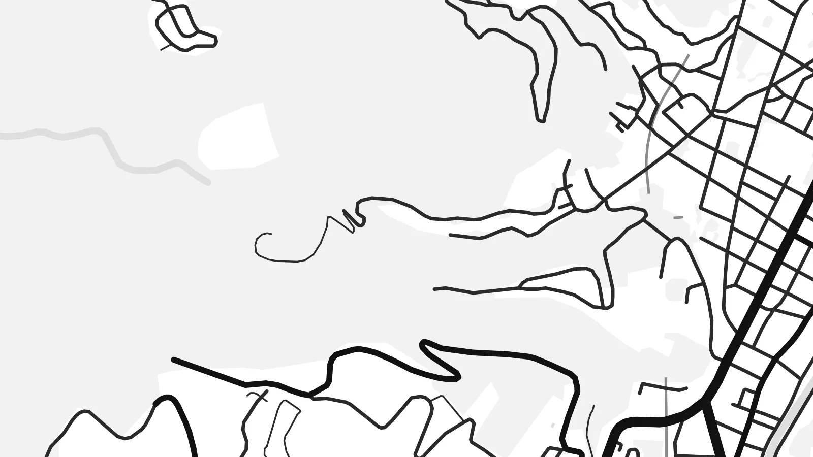
An Itō map poster shows the tension between sea and slope. The coastline bends along the bay, the town centre gathers in the lowland by the harbour, and winding roads trace the contours of the hills, giving the design both density and flowing movement.
The shoreline curves along the eastern side of the map, with the harbour and beach marking the point where the town meets the open bay.
The small river runs down through the town centre to the sea, and the densest streets gather along its lower course.
Roads wind up the volcanic slopes behind the town, their curves following the terrain and adding a looser, organic pattern to the print.
Mekem i blong yu
Putum wan dei, wan nem o wan laen blong yu, jenisim stael, saes o saed.
Fri preview i lo-resolusen mo i gat watermak. Prin mo HD file oli wok long 300 DPI, kasem 7,200 × 10,800 px, i no gat watermak.
From wanem Itō
Itō is a favourite weekend escape from Tokyo, and many people hang its map as a memory of a trip, a honeymoon or a family holiday at a ryokan. The coast and hills make a composition with real depth.
Personalise the title, subtitle and coordinates line, for example with the dates of your stay, and choose one of five styles: Classic black & white, Noir, Paper, Blueprint or Sand. Blueprint suits the coastline, Sand the warm onsen mood.
Odarem poster blong Itō| Saes blong prent | Rezolusen | Ol fael |
|---|---|---|
| 30 × 40 cm (11.8 × 15.7″) | 3,543 × 4,724 px | PNG · PDF |
| 29.7 × 42 cm (A3, 11.7 × 16.5″) | 3,508 × 4,961 px | PNG · PDF |
| 42 × 59.4 cm (A2, 16.5 × 23.4″) | 4,961 × 7,016 px | PNG · PDF |
| 45.7 × 61 cm (18 × 24″) | 5,400 × 7,200 px | PNG · PDF |
| 50 × 70 cm (19.7 × 27.6″) | 5,906 × 8,268 px | PNG · PDF |
| 61 × 91.4 cm (24 × 36″) | 7,200 × 10,800 px | PNG · PDF |
Blong yu save komperem, fri priviu i 900 px long waed, i gat wotamak mo i blong skrin nomo. Ol HD fael oli gat kasem 8× moa rezolusen long evri saed mo oli prent klia long ful saes blong poster.
Jusum wan style antap long pej, biaen jusum Prinim Poster — wan saes mo, sapos yu wantem, wan frem — o Digital HD Files. Pemen i wan step nomo, mo pej blong oda blong yu i apdet stret taem pemen i pas.
Mifala i prinim long gudfala 200 gsm matte pepa, long wan long 6 saes, statem long 30 × 40 cm kasem 24 × 36″. Prin poster i statem long $39, sipin i insaed finis.
Yes. Jusum wan strong wud frem long kala blak, waet, natural oak, o tudak wud. I gat glas we i no save brok isi, mo i rere blong hangem stret. Poster wetem frem i statem long $99, sipin i insaed finis.
Delivri blong poster i fri long olgeta ples long wol. Wan wan poster i prin long wan long ol prin patna blong mifala we i kolosap moa long yu, long moa long 30 kantri, mo bambae i kasem yu long 3–7 wokdei. Yu save lukluk stetes mo trakin long My Orders. Sam kantri i tekem 2–5 wik, mo long ol ples we mifala i no save sendem yet, saet i talem yu bifo yu pem.
Sendem wan foto long mifala insaed 14 dei afta i kasem yu, mo mifala bae i prinim wan niufala fri o givim bak mane blong yu.
Yes. Long editor long pej ya, jenisim taetol, sabtaetol, mo laen blong koordinet i go long wanem yu wantem, mo jusum wan style mo saes. Prin, frem, mo digital oda oli yusum stret design blong yu.
Long $9 yu kasem 300 DPI PNG mo PDF file we i rere blong prinim, long evri 6 saes, i no gat watermak, mo yu save prinim long enisave ples. Yu no sua yet? Daonlodem wan fri preview wetem watermak fastaem.
Klosap
