Winding tidal creeks
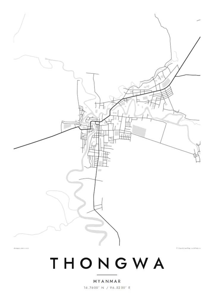
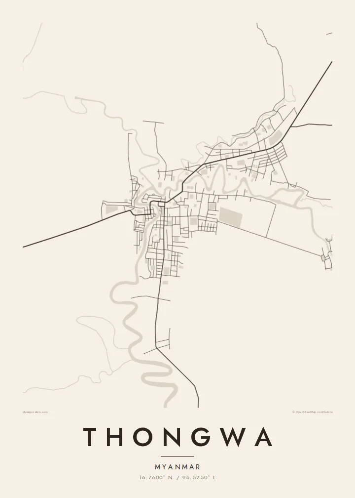
Channels loop through the land around the town, their curves standing out clearly against the straight lines of roads and fields.
Simpol poster blong map · Myanmar (Burma)
16.7600° N / 96.5250° E
A delta town southeast of Yangon, set among tidal creeks, rice paddies and long straight embankment roads



Wan taon, faef filing
Klikim wan style blong luk hem antap long wol. Evri style i sem prais nomo — sapos yu prinim, putum insaed frem, o daonlodem olsem HD file.
 Trufala pixel · 24 × 36″ prin file
Klia blong prent
Hemia i wan 100% haf blong trufala prin file. Evri poster — sapos prinim, putum insaed frem, o daonlodem — mifala i wokem long server blong mifala long 300 DPI, kasem 7,200 × 10,800 pixel, mekem se nomata ol smol rod tu oli klia gud long wan 24 × 36″ prin.
Long wol


Map
Thongwa is a town and township in the Yangon Region of Myanmar, located on the low, flat delta land southeast of the city of Yangon. The landscape is shaped by water. Creeks and channels wind through the countryside, and the fields between them are laid out as long rectangles of paddy.
From above, the town itself is a modest cluster of streets gathered along the roads and waterways that connect it to neighbouring settlements. Raised roads run across the fields in long, straight lines, and in places they follow the banks of channels. The surrounding area is mainly farming land, and rice cultivation dominates it.
A Thongwa map poster traces the balance between the small, compact town and the wide delta that surrounds it. The meandering creeks give the page soft, organic lines, and the roads and field boundaries provide order. It is an understated composition, suited to anyone with a personal link to this corner of lower Myanmar.
Channels loop through the land around the town, their curves standing out clearly against the straight lines of roads and fields.
Roads cross the flat delta in long, straight runs, linking Thongwa to neighbouring townships and toward Yangon.
Around the town, the land is divided into rectangular rice fields, which gives the outer part of the map a fine, regular texture.
Mekem i blong yu
Putum wan dei, wan nem o wan laen blong yu, jenisim stael, saes o saed.
Fri preview i lo-resolusen mo i gat watermak. Prin mo HD file oli wok long 300 DPI, kasem 7,200 × 10,800 px, i no gat watermak.
From wanem Thongwa
For families from Thongwa living in Yangon or abroad, a map is a simple way to keep the town and its waterways close, with the roads and creeks drawn exactly as they are.
You can personalise the title, subtitle and coordinates, and choose between Classic black & white, Noir, Paper, Blueprint and Sand. A free watermarked preview lets you check the framing before you buy.
Odarem poster blong Thongwa| Saes blong prent | Rezolusen | Ol fael |
|---|---|---|
| 30 × 40 cm11.8 × 15.7″ | 3,543 × 4,724 px | PNG · PDF |
| 29.7 × 42 cm (A3)11.7 × 16.5″ | 3,508 × 4,961 px | PNG · PDF |
| 42 × 59.4 cm (A2)16.5 × 23.4″ | 4,961 × 7,016 px | PNG · PDF |
| 45.7 × 61 cm18 × 24″ | 5,400 × 7,200 px | PNG · PDF |
| 50 × 70 cm19.7 × 27.6″ | 5,906 × 8,268 px | PNG · PDF |
| 61 × 91.4 cm24 × 36″ | 7,200 × 10,800 px | PNG · PDF |
Blong yu save komperem, fri priviu i 900 px long waed, i gat wotamak mo i blong skrin nomo. Ol HD fael oli gat kasem 8× moa rezolusen long evri saed mo oli prent klia long ful saes blong poster.
Jusum wan style antap long pej, biaen jusum Prinim Poster — wan saes mo, sapos yu wantem, wan frem — o Digital HD Files. Pemen i wan step nomo, mo pej blong oda blong yu i apdet stret taem pemen i pas.
Mifala i prinim long gudfala 200 gsm matte pepa, long wan long 6 saes, statem long 30 × 40 cm kasem 24 × 36″. Prin poster i statem long $39, sipin i insaed finis.
Yes. Jusum wan strong wud frem long kala blak, waet, natural oak, o tudak wud. I gat glas we i no save brok isi, mo i rere blong hangem stret. Poster wetem frem i statem long $99, sipin i insaed finis.
Shipping i fri i go long 60+ kantri. Evri poster i kam from wan long ol prin pATna blong mifala we i stap kolosap moa long 30+ kantri, mo i save kasem yu long 3–7 wokin dei. Yu save lukluk stetus mo tracking long My Orders. Sam kantri i tekem 2–5 wik, mo long ol ples we mifala i no sendem yet, saet i talem yu bifo yu pem.
Sendem wan foto long mifala insaed 14 dei afta i kasem yu, mo mifala bae i prinim wan niufala fri o givim bak mane blong yu.
Yes. Long editor long pej ya, jenisim taetol, sabtaetol, mo laen blong koordinet i go long wanem yu wantem, mo jusum wan style mo saes. Prin, frem, mo digital oda oli yusum stret design blong yu.
Long $9 yu kasem 300 DPI PNG mo PDF file we i rere blong prinim, long evri 6 saes, i no gat watermak, mo yu save prinim long enisave ples. Yu no sua yet? Daonlodem wan fri preview wetem watermak fastaem.
Klosap
