Confluence of rivers
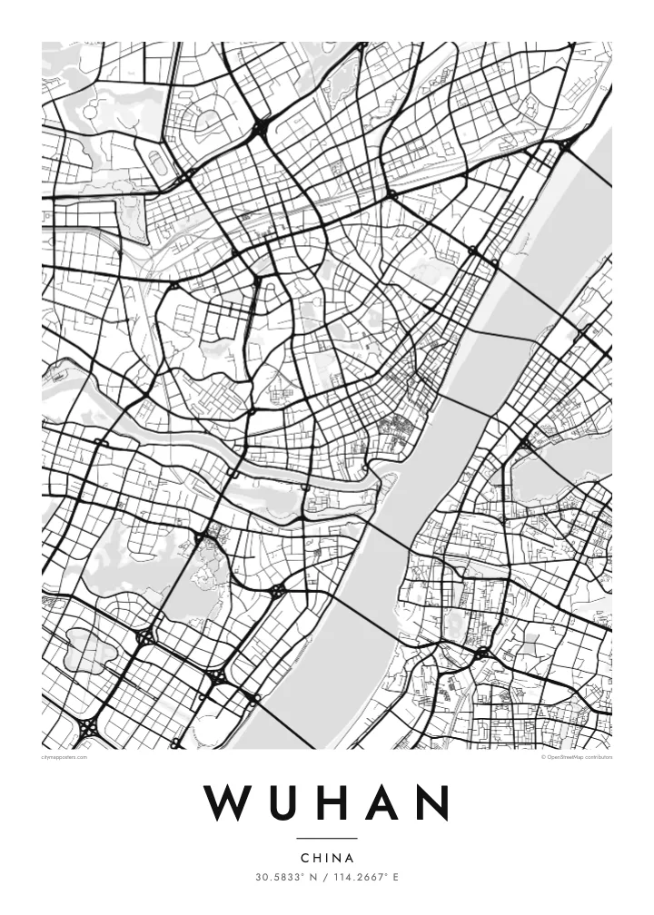
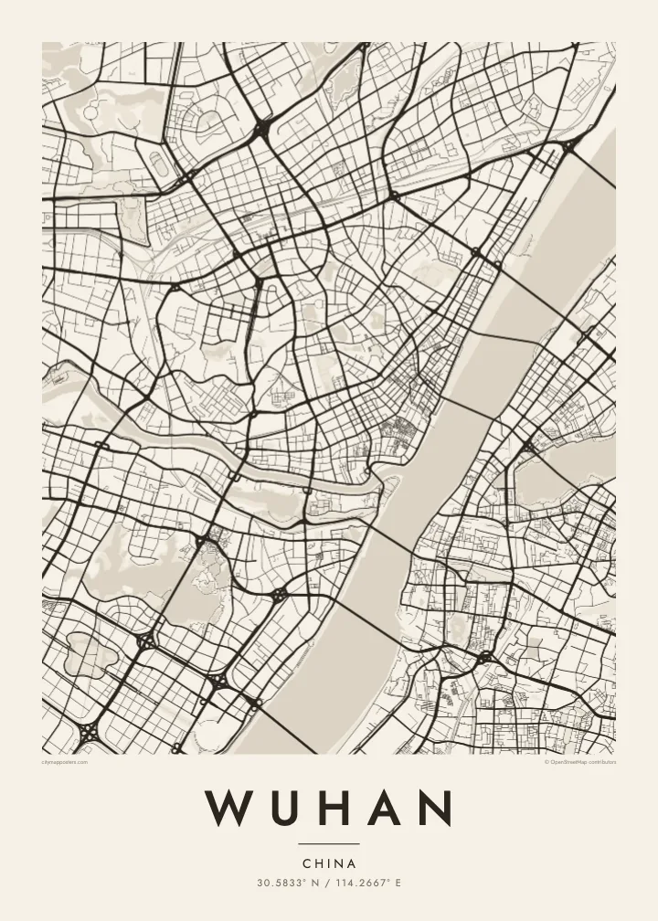
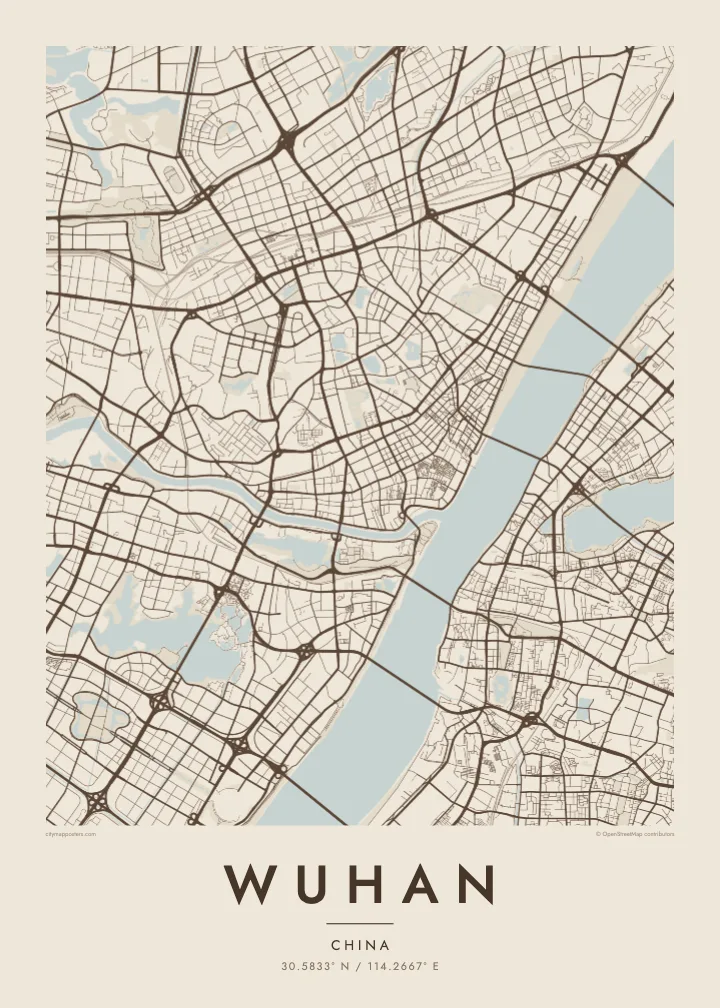
The narrow Han River joins the broad Yangtze at the heart of the city, dividing the plan into three clear sections and giving Wuhan its recognisable Y-shaped outline.
Simpol poster blong map · China
30.5833° N / 114.2667° E
Three historic towns divided by the Yangtze and Han rivers, set among dozens of lakes on a wide plain


Wan taon, faef filing
Klikim wan style blong luk hem antap long wol. Evri style i sem prais nomo — sapos yu prinim, putum insaed frem, o daonlodem olsem HD file.
 Trufala pixel · 24 × 36″ prin file
Klia blong prent
Hemia i wan 100% haf blong trufala prin file. Evri poster — sapos prinim, putum insaed frem, o daonlodem — mifala i wokem long server blong mifala long 300 DPI, kasem 7,200 × 10,800 pixel, mekem se nomata ol smol rod tu oli klia gud long wan 24 × 36″ prin.
Long wol


Map
Wuhan is formed by a meeting of rivers. The Han River flows into the Yangtze in the middle of the city, and the two waterways divide it into three historic parts: Hankou to the north-west, Hanyang to the south-west and Wuchang on the eastern bank. On a map, this Y-shaped junction is unmistakable, with bridges linking each piece to the others.
Water continues beyond the rivers. Wuhan is scattered with lakes, the best known being East Lake, whose irregular shoreline spreads across the eastern districts beside Wuhan University. Hankou keeps a denser grid, including streets of the former concessions near the riverbank, while Hanyang and Wuchang are marked by Turtle Hill and Snake Hill, which face each other across the Yangtze.
The Wuhan Yangtze River Bridge, opened in 1957, was the first bridge built across the Yangtze, and it runs between those two hills. The Yellow Crane Tower, a landmark rebuilt many times over the centuries, stands on Snake Hill beside it. A Wuhan map poster shows a city where almost every journey across town involves crossing water.
The narrow Han River joins the broad Yangtze at the heart of the city, dividing the plan into three clear sections and giving Wuhan its recognisable Y-shaped outline.
A large lake with a deeply indented shoreline in Wuchang, surrounded by parkland, causeways and university campuses. It forms one of the biggest open shapes on the eastern side of the map.
A series of bridges crosses the Yangtze within the city, starting with the 1957 bridge between Turtle Hill and Snake Hill. They appear as spaced lines spanning the widest stretch of water.
Mekem i blong yu
Putum wan dei, wan nem o wan laen blong yu, jenisim stael, saes o saed.
Fri preview i lo-resolusen mo i gat watermak. Prin mo HD file oli wok long 300 DPI, kasem 7,200 × 10,800 px, i no gat watermak.
From wanem Wuhan
Wuhan’s map carries meaning for graduates of its many universities, families from Hankou or Wuchang, and anyone who has watched the Yangtze from the old bridge. The rivers and lakes give it a spacious, balanced composition that stays clear at every print size.
Choose a title and subtitle, perhaps a campus, a neighbourhood or a year, and set the coordinates line. Then pick one of five styles, Classic black & white, Noir, Paper, Blueprint or Sand, as instant HD files or a printed poster with an optional wooden frame.
Odarem poster blong Wuhan| Saes blong prent | Rezolusen | Ol fael |
|---|---|---|
| 30 × 40 cm11.8 × 15.7″ | 3,543 × 4,724 px | PNG · PDF |
| 29.7 × 42 cm (A3)11.7 × 16.5″ | 3,508 × 4,961 px | PNG · PDF |
| 42 × 59.4 cm (A2)16.5 × 23.4″ | 4,961 × 7,016 px | PNG · PDF |
| 45.7 × 61 cm18 × 24″ | 5,400 × 7,200 px | PNG · PDF |
| 50 × 70 cm19.7 × 27.6″ | 5,906 × 8,268 px | PNG · PDF |
| 61 × 91.4 cm24 × 36″ | 7,200 × 10,800 px | PNG · PDF |
Blong yu save komperem, fri priviu i 900 px long waed, i gat wotamak mo i blong skrin nomo. Ol HD fael oli gat kasem 8× moa rezolusen long evri saed mo oli prent klia long ful saes blong poster.
Jusum wan style antap long pej, biaen jusum Prinim Poster — wan saes mo, sapos yu wantem, wan frem — o Digital HD Files. Pemen i wan step nomo, mo pej blong oda blong yu i apdet stret taem pemen i pas.
Mifala i prinim long gudfala 200 gsm matte pepa, long wan long 6 saes, statem long 30 × 40 cm kasem 24 × 36″. Prin poster i statem long $39, sipin i insaed finis.
Yes. Jusum wan strong wud frem long kala blak, waet, natural oak, o tudak wud. I gat glas we i no save brok isi, mo i rere blong hangem stret. Poster wetem frem i statem long $99, sipin i insaed finis.
Shipping i fri i go long 60+ kantri. Evri poster i kam from wan long ol prin pATna blong mifala we i stap kolosap moa long 30+ kantri, mo i save kasem yu long 3–7 wokin dei. Yu save lukluk stetus mo tracking long My Orders. Sam kantri i tekem 2–5 wik, mo long ol ples we mifala i no sendem yet, saet i talem yu bifo yu pem.
Sendem wan foto long mifala insaed 14 dei afta i kasem yu, mo mifala bae i prinim wan niufala fri o givim bak mane blong yu.
Yes. Long editor long pej ya, jenisim taetol, sabtaetol, mo laen blong koordinet i go long wanem yu wantem, mo jusum wan style mo saes. Prin, frem, mo digital oda oli yusum stret design blong yu.
Long $9 yu kasem 300 DPI PNG mo PDF file we i rere blong prinim, long evri 6 saes, i no gat watermak, mo yu save prinim long enisave ples. Yu no sua yet? Daonlodem wan fri preview wetem watermak fastaem.
Klosap
