Shrine forests
The grounds of Naikū and Gekū appear as broad open areas surrounded by streets. They are some of the largest calm shapes on the map, and they anchor the whole composition.
Minimalistisches Kartenposter · Japan
34.4833° N / 136.7000° E
A shrine city between forested hills and Ise Bay, laid out along two rivers and the old pilgrim roads.


Eine Stadt, fünf Stimmungen
Tippen Sie auf einen Stil, um ihn an der Wand zu sehen. Jeder Stil kostet gleich viel – gedruckt, gerahmt oder als HD-Dateien.
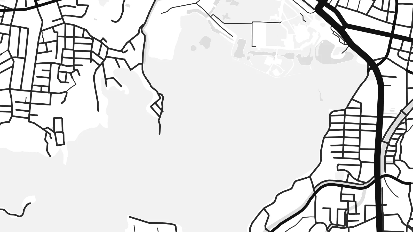 Originalpixel · 24 × 36″ Druckdatei
Gestochen scharf
Dies ist ein 100%-Ausschnitt der echten Druckdatei. Jedes Poster – gedruckt, gerahmt oder heruntergeladen – wird auf unseren Servern mit 300 DPI und bis zu 7,200 × 10,800 Pixeln gerendert, sodass selbst die kleinsten Straßen auf einem 24 × 36″-Druck gestochen scharf bleiben.
An der Wand


Die Karte
Ise lies in Mie Prefecture on the Kii Peninsula, between Ise Bay to the north and steep, wooded hills to the south. The Miyagawa and Isuzu rivers cross the plain, and the city's streets follow the routes that pilgrims walked for centuries between the two main precincts of the Ise Grand Shrine.
The shrine is among the most important sites in Shinto. Its inner shrine, Naikū, is dedicated to the sun goddess Amaterasu, and the outer shrine, Gekū, stands closer to the city centre. The main shrine buildings are traditionally rebuilt every twenty years. The coastal district of Futami, known for the paired Meoto Iwa rocks, is also part of the city.
An Ise map poster shows a clear contrast. Dense streets gather near the railway stations and along the old approach to Naikū, while the shrine forests appear as large unbroken areas. Rivers wind through the middle, and the bay shore forms a long northern edge.
The grounds of Naikū and Gekū appear as broad open areas surrounded by streets. They are some of the largest calm shapes on the map, and they anchor the whole composition.
Two rivers cross the city on their way to the bay. They add flowing lines through the grid, and the Isuzu passes right beside the inner shrine.
Ise Bay forms the northern boundary. It gives the poster a long shoreline, and the Futami coast lies towards its eastern end.
Mach es zu deinem
Füge ein Datum, einen Namen oder eine eigene Zeile hinzu und ändere Stil, Größe oder Ausrichtung.
Die kostenlose Vorschau ist niedrig aufgelöst und mit Wasserzeichen. Drucke und HD-Dateien werden mit 300 DPI, bis zu 7,200 × 10,800 px, ohne Wasserzeichen gerendert.
Warum Ise
A visit to Ise is often a meaningful one, whether as a pilgrimage, a family trip or a first encounter with Shinto architecture. A map of the city is a quiet reminder of that visit.
Add the date of your visit to the subtitle, edit the coordinates line if you like, and pick from five styles, including the cool Blueprint and the dark Noir. The HD files cover six print sizes, from A3 up to 24×36″.
Poster „Ise“ bestellen| Druckgröße | Auflösung | Dateien |
|---|---|---|
| 30 × 40 cm (11.8 × 15.7″) | 3,543 × 4,724 px | PNG · PDF |
| 29.7 × 42 cm (A3, 11.7 × 16.5″) | 3,508 × 4,961 px | PNG · PDF |
| 42 × 59.4 cm (A2, 16.5 × 23.4″) | 4,961 × 7,016 px | PNG · PDF |
| 45.7 × 61 cm (18 × 24″) | 5,400 × 7,200 px | PNG · PDF |
| 50 × 70 cm (19.7 × 27.6″) | 5,906 × 8,268 px | PNG · PDF |
| 61 × 91.4 cm (24 × 36″) | 7,200 × 10,800 px | PNG · PDF |
Zum Vergleich: Die kostenlose Vorschau ist 900 px breit, hat ein Wasserzeichen und ist für Bildschirme gedacht. Die HD-Dateien haben bis zu 8× so viel Auflösung in jede Richtung und lassen sich sauber in voller Postergröße drucken.
Wählen Sie oben auf der Seite einen Stil und dann Gedrucktes Poster – eine Größe und, wenn gewünscht, einen Rahmen – oder Digitale HD-Dateien. Der Checkout dauert nur einen Schritt, und Ihre Bestellseite wird aktualisiert, sobald die Zahlung eingegangen ist.
Es wird auf hochwertigem 200-g/m²-Mattpapier in einer von sechs Größen gedruckt, von 30 × 40 cm bis 24 × 36″. Gedruckte Poster kosten ab {printFrom}, Versand inklusive.
Ja. Wählen Sie einen Rahmen aus massivem Holz in Schwarz, Weiß, natürlicher Eiche oder dunklem Holz. Er hat splitterschutzsicheres Glas und ist sofort aufhängbar. Gerahmte Poster kosten ab {framedFrom}, Versand inklusive.
Der Versand ist weltweit kostenlos. Jedes Poster wird vom nächstgelegenen unserer Druckpartner in über 30 Ländern gedruckt und kommt meist innerhalb von 3–7 Werktagen an. Den Status und die Sendungsverfolgung finden Sie unter Meine Bestellungen.
Schicken Sie uns innerhalb von 14 Tagen nach Lieferung ein Foto, und wir drucken es kostenlos neu oder erstatten Ihr Geld zurück.
Ja. Ändern Sie im Editor auf dieser Seite den Titel, den Untertitel und die Koordinatenzeile nach Belieben und wählen Sie einen Stil und eine Größe. Gedruckte, gerahmte und digitale Bestellungen verwenden alle genau Ihr Design.
Für $9 erhalten Sie 300-DPI-PNG- und druckfertige PDF-Dateien in allen sechs Größen, ohne Wasserzeichen, zum Drucken überall. Noch nicht sicher? Laden Sie zuerst eine kostenlose Vorschau mit Wasserzeichen herunter.
In der Nähe
