The Nile
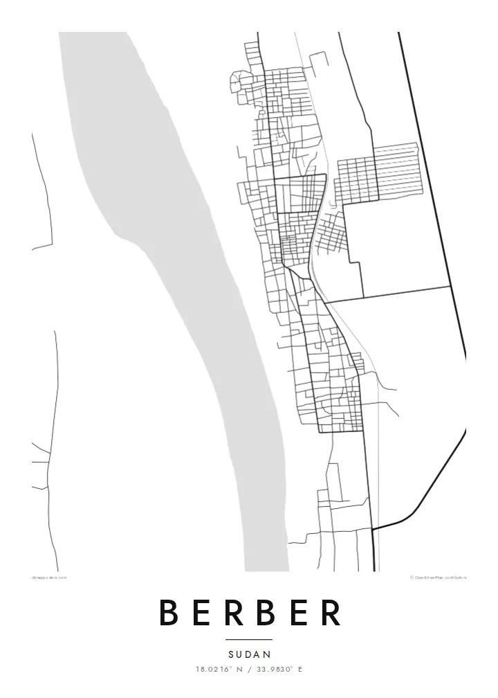
The river runs along the western edge of the town, its broad course and islands forming the map's dominant natural feature and the reason the town exists.
Minimalistinen karttajuliste · Sudan
18.0216° N / 33.9830° E
A Nile town in northern Sudan, a narrow band of streets and fields between the river and the desert.


Yksi kaupunki, viisi tunnelmaa
Napauta tyyliä nähdäksesi sen seinällä. Kaikki tyylit maksavat saman verran — painettuna, kehystettynä tai HD-tiedostoina.
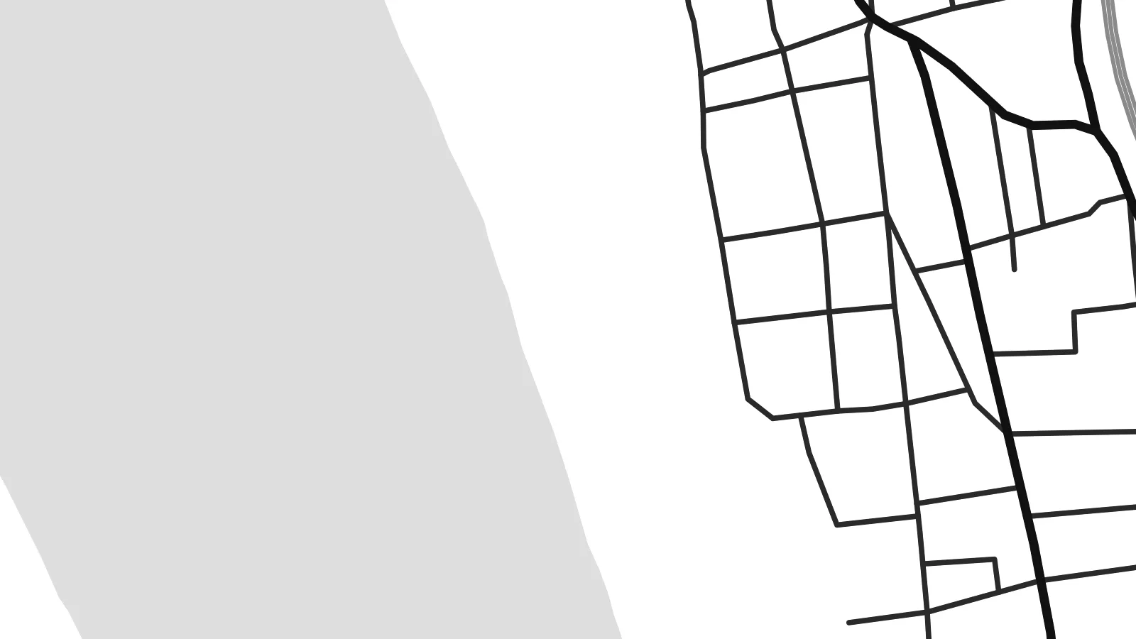 Todelliset pikselit · 24 × 36″ tulostustiedosto
Terävä painojälki
Tämä on 100 %:n rajaus todellisesta tulostustiedostosta. Jokainen juliste — painettu, kehystetty tai ladattu — renderöidään palvelimillamme 300 DPI:n tarkkuudella, jopa 7,200 × 10,800 pikseliin asti, joten pienimmätkin kadut pysyvät terävinä 24 × 36″ -tulosteessa.
Seinällä


Kartta
Berber lies on the east bank of the Nile in River Nile state, in northern Sudan, a short distance north of the river's confluence with the Atbara. From above, the town forms a narrow strip along the river, with a band of cultivated land close to the water and open desert beginning abruptly beyond it. That sharp contrast is the defining feature of the map.
Historically, Berber was an important trading town and the starting point of a caravan route across the desert to Suakin on the Red Sea coast. That role made it a significant link between the Nile valley and the sea for centuries, before railways changed the patterns of trade in the region.
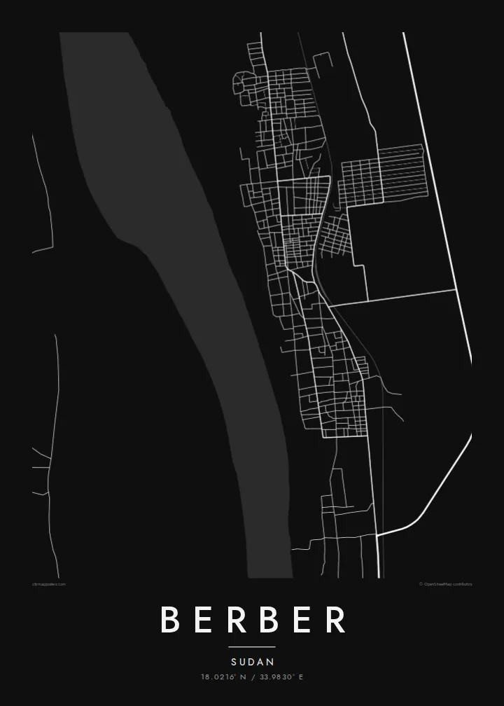
A Berber map poster shows a place defined by water and desert: the curve of the Nile, the thin green belt of fields along its banks, and the town stretched between them. It is a spare and powerful composition that works particularly well in minimalist black and white.
The river runs along the western edge of the town, its broad course and islands forming the map's dominant natural feature and the reason the town exists.
A narrow strip of farmland follows the river, marked by irrigation channels and field boundaries, contrasting with the open desert just beyond.
Berber stretches along the river rather than spreading outward, giving the map an elongated shape shaped by access to water and the old trade routes.
Tee siitä omasi
Lisää päivämäärä, nimi tai oma tekstisi, vaihda tyyliä, kokoa tai suuntaa.
Ilmainen esikatselu on matalaresoluutioinen ja vesileimattu. Painetut julisteet ja HD-tiedostot renderöidään 300 DPI:n tarkkuudella, jopa 7,200 × 10,800 px asti, ilman vesileimaa.
Miksi Berber
For people with roots in the Nile valley, a map of Berber is a clear and personal connection to a historic town. The contrast between river and desert gives it a striking visual presence on any wall.
The title, subtitle and coordinates line can be personalised with a family name or a date, and five styles are available. Sand evokes the desert setting, while Noir makes the river a strong dark line.
Tilaa Berber-juliste| Tulostekoko | Resoluutio | Tiedostot |
|---|---|---|
| 30 × 40 cm (11.8 × 15.7″) | 3,543 × 4,724 px | PNG · PDF |
| 29.7 × 42 cm (A3, 11.7 × 16.5″) | 3,508 × 4,961 px | PNG · PDF |
| 42 × 59.4 cm (A2, 16.5 × 23.4″) | 4,961 × 7,016 px | PNG · PDF |
| 45.7 × 61 cm (18 × 24″) | 5,400 × 7,200 px | PNG · PDF |
| 50 × 70 cm (19.7 × 27.6″) | 5,906 × 8,268 px | PNG · PDF |
| 61 × 91.4 cm (24 × 36″) | 7,200 × 10,800 px | PNG · PDF |
Vertailun vuoksi: ilmainen esikatselu on 900 px leveä, vesileimattu ja tarkoitettu näytöille. HD-tiedostojen resoluutio on jopa 8-kertainen kumpaankin suuntaan, ja ne tulostuvat siististi täydessä julistekoossa.
Valitse tyyli sivun yläosasta ja sen jälkeen Painettu juliste — koko ja halutessasi kehys — tai Digitaaliset HD-tiedostot. Kassalla on vain yksi vaihe, ja tilaussivusi päivittyy heti maksun jälkeen.
Se painetaan laadukkaalle 200 g/m² mattapaperille kuudessa eri koossa, 30 × 40 cm:stä 24 × 36″:een. Painetut julisteet alkaen {printFrom}, toimitus sisältyy hintaan.
Kyllä. Valitse massiivipuinen kehys mustana, valkoisena, luonnontammena tai tummana puuna. Kehykseen kuuluu iskunkestävä lasitus, ja se on heti ripustusvalmis. Kehystetyt julisteet alkaen {framedFrom}, toimitus sisältyy hintaan.
Toimitus on ilmainen kaikkialle maailmaan. Jokainen juliste painetaan lähimmän tulostuskumppanimme luona yli 30 maassa ja saapuu yleensä 3–7 arkipäivässä. Voit seurata tilaustasi ja seurantatietoja kohdasta Omat tilaukset.
Lähetä meille kuva 14 päivän kuluessa toimituksesta, niin painamme uuden veloituksetta tai palautamme rahasi.
Kyllä. Muokkaa tämän sivun editorissa otsikkoa, alaotsikkoa ja koordinaattirivi haluamallasi tavalla, ja valitse tyyli ja koko. Painetut, kehystetyt ja digitaaliset tilaukset käyttävät kaikki juuri sinun suunnitelmaasi.
Hintaan $9 saat 300 DPI:n PNG- ja tulostusvalmiit PDF-tiedostot kaikissa kuudessa koossa, ilman vesileimaa, tulostettavaksi missä tahansa. Etkö ole vielä varma? Lataa ensin ilmainen esikatselu vesileimalla.
Lähistöllä
