An Sgùrr ridge
The pitchstone ridge dominates the southern half of the island, its sheer face and long crest drawn as the sharpest and most recognisable contour on the map.
Minimalistinen karttajuliste · Iso-Britannia
56.9079° N / 6.1610° W
A Hebridean island crowned by the long ridge of An Sgùrr, with a pier in the south and sandy bays to the west.


Yksi kaupunki, viisi tunnelmaa
Napauta tyyliä nähdäksesi sen seinällä. Kaikki tyylit maksavat saman verran — painettuna, kehystettynä tai HD-tiedostoina.
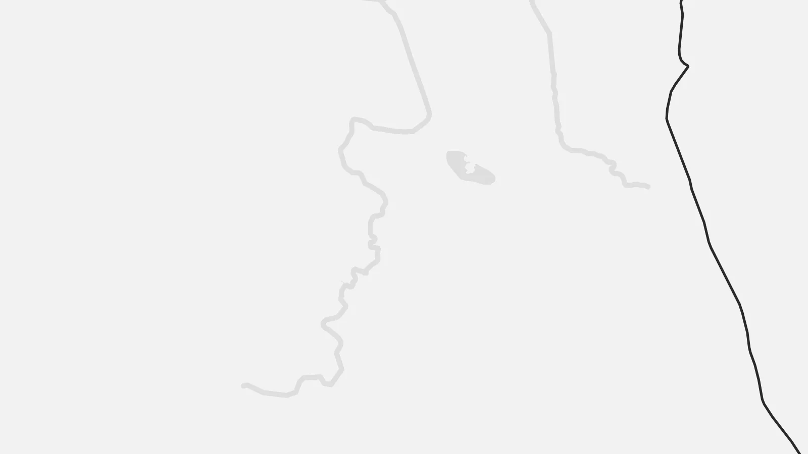 Todelliset pikselit · 24 × 36″ tulostustiedosto
Terävä painojälki
Tämä on 100 %:n rajaus todellisesta tulostustiedostosta. Jokainen juliste — painettu, kehystetty tai ladattu — renderöidään palvelimillamme 300 DPI:n tarkkuudella, jopa 7,200 × 10,800 pikseliin asti, joten pienimmätkin kadut pysyvät terävinä 24 × 36″ -tulosteessa.
Seinällä


Kartta
Eigg is one of the Small Isles of the Inner Hebrides, lying south of Skye and west of the Scottish mainland near Arisaig. On a map it is a compact island with a high southern block and lower land to the north, divided by a central valley. The most distinctive feature is An Sgùrr, a steep ridge of pitchstone lava that rises above the southern half.
A single road runs from the pier at Galmisdale in the south across the island to Cleadale in the northwest, where crofts spread across the slopes above the Bay of Laig. Just north of the bay, the beach at Camas Sgiotaig is known as the Singing Sands for the way its quartz grains squeak underfoot. Elsewhere the coast is largely cliffed.
In 1997 the residents bought the island in a community buyout, and Eigg later built its own electricity grid powered mainly by wind, water and sun. An Eigg map poster brings together that island-scale story and the landscape itself: one road, one ridge and a coast looking out across the sound to Rùm.
The pitchstone ridge dominates the southern half of the island, its sheer face and long crest drawn as the sharpest and most recognisable contour on the map.
A single road links the pier at Galmisdale to the crofting settlement at Cleadale, a simple line that organises the whole map.
On the northwest coast a wide sandy bay faces the mountains of Rùm, one of the most recognisable shapes along the island's shoreline.
Tee siitä omasi
Lisää päivämäärä, nimi tai oma tekstisi, vaihda tyyliä, kokoa tai suuntaa.
Ilmainen esikatselu on matalaresoluutioinen ja vesileimattu. Painetut julisteet ja HD-tiedostot renderöidään 300 DPI:n tarkkuudella, jopa 7,200 × 10,800 px asti, ilman vesileimaa.
Miksi Eigg
Eigg draws walkers, birdwatchers and people interested in community ownership, and many who visit return year after year. A map of the island makes a thoughtful reminder of a ferry crossing from Mallaig or Arisaig and days spent on its single road.
Set the title, subtitle and coordinates line to your own words and dates, then choose Classic black & white, Noir, Paper, Blueprint or Sand. Digital HD files are $9 with no watermark, and printed posters come on matte paper with an optional wooden frame.
Tilaa Eigg-juliste| Tulostekoko | Resoluutio | Tiedostot |
|---|---|---|
| 30 × 40 cm (11.8 × 15.7″) | 3,543 × 4,724 px | PNG · PDF |
| 29.7 × 42 cm (A3, 11.7 × 16.5″) | 3,508 × 4,961 px | PNG · PDF |
| 42 × 59.4 cm (A2, 16.5 × 23.4″) | 4,961 × 7,016 px | PNG · PDF |
| 45.7 × 61 cm (18 × 24″) | 5,400 × 7,200 px | PNG · PDF |
| 50 × 70 cm (19.7 × 27.6″) | 5,906 × 8,268 px | PNG · PDF |
| 61 × 91.4 cm (24 × 36″) | 7,200 × 10,800 px | PNG · PDF |
Vertailun vuoksi: ilmainen esikatselu on 900 px leveä, vesileimattu ja tarkoitettu näytöille. HD-tiedostojen resoluutio on jopa 8-kertainen kumpaankin suuntaan, ja ne tulostuvat siististi täydessä julistekoossa.
Valitse tyyli sivun yläosasta ja sen jälkeen Painettu juliste — koko ja halutessasi kehys — tai Digitaaliset HD-tiedostot. Kassalla on vain yksi vaihe, ja tilaussivusi päivittyy heti maksun jälkeen.
Se painetaan laadukkaalle 200 g/m² mattapaperille kuudessa eri koossa, 30 × 40 cm:stä 24 × 36″:een. Painetut julisteet alkaen {printFrom}, toimitus sisältyy hintaan.
Kyllä. Valitse massiivipuinen kehys mustana, valkoisena, luonnontammena tai tummana puuna. Kehykseen kuuluu iskunkestävä lasitus, ja se on heti ripustusvalmis. Kehystetyt julisteet alkaen {framedFrom}, toimitus sisältyy hintaan.
Toimitus on ilmainen kaikkialle maailmaan. Jokainen juliste painetaan lähimmän tulostuskumppanimme luona yli 30 maassa ja saapuu yleensä 3–7 arkipäivässä. Voit seurata tilaustasi ja seurantatietoja kohdasta Omat tilaukset.
Lähetä meille kuva 14 päivän kuluessa toimituksesta, niin painamme uuden veloituksetta tai palautamme rahasi.
Kyllä. Muokkaa tämän sivun editorissa otsikkoa, alaotsikkoa ja koordinaattirivi haluamallasi tavalla, ja valitse tyyli ja koko. Painetut, kehystetyt ja digitaaliset tilaukset käyttävät kaikki juuri sinun suunnitelmaasi.
Hintaan $9 saat 300 DPI:n PNG- ja tulostusvalmiit PDF-tiedostot kaikissa kuudessa koossa, ilman vesileimaa, tulostettavaksi missä tahansa. Etkö ole vielä varma? Lataa ensin ilmainen esikatselu vesileimalla.
Lähistöllä
