Lagoon runway
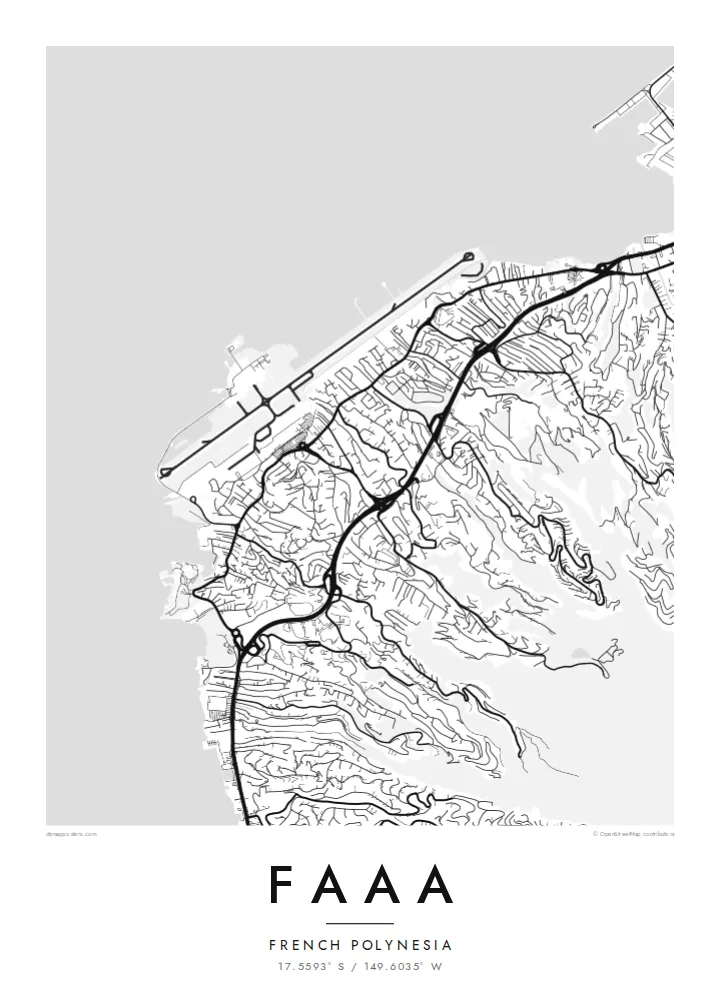
The airport runway stretches along reclaimed reef land at the water's edge, a bold straight line that defines the entire coastal side of the commune.
Minimalistinen karttajuliste · Ranskan Polynesia
17.5593° S / 149.6035° W
A coastal commune on Tahiti's northwest shore, where the airport runway runs along the lagoon beneath steep green valleys

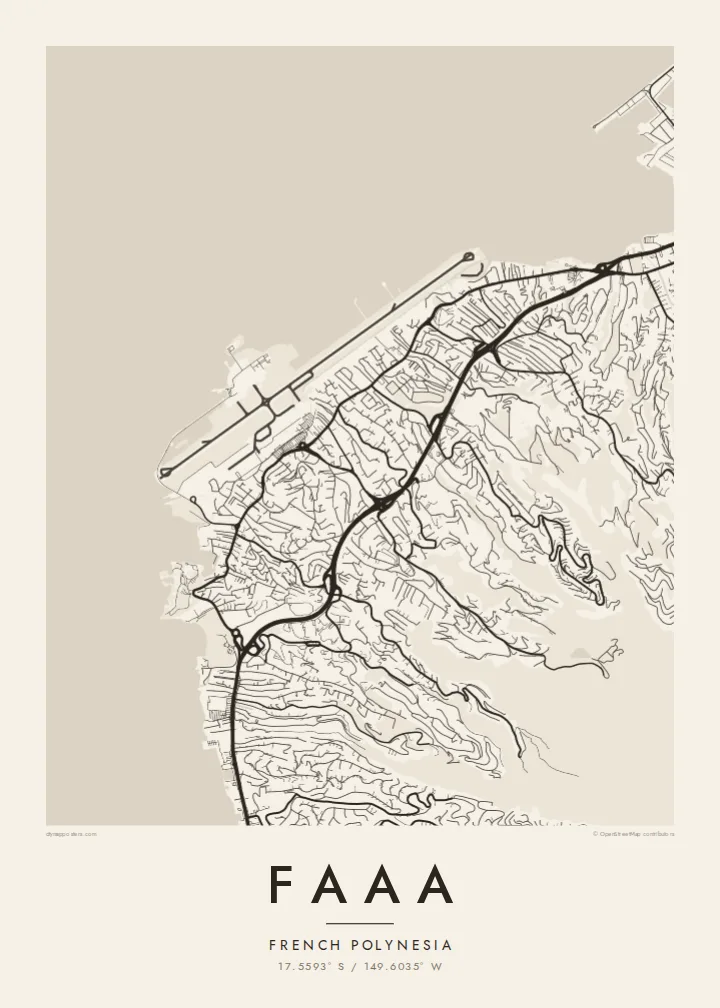

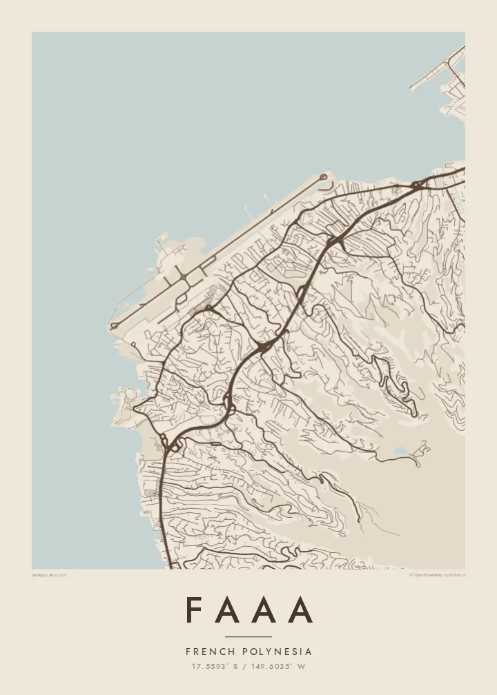
Yksi kaupunki, viisi tunnelmaa
Napauta tyyliä nähdäksesi sen seinällä. Kaikki tyylit maksavat saman verran — painettuna, kehystettynä tai HD-tiedostoina.
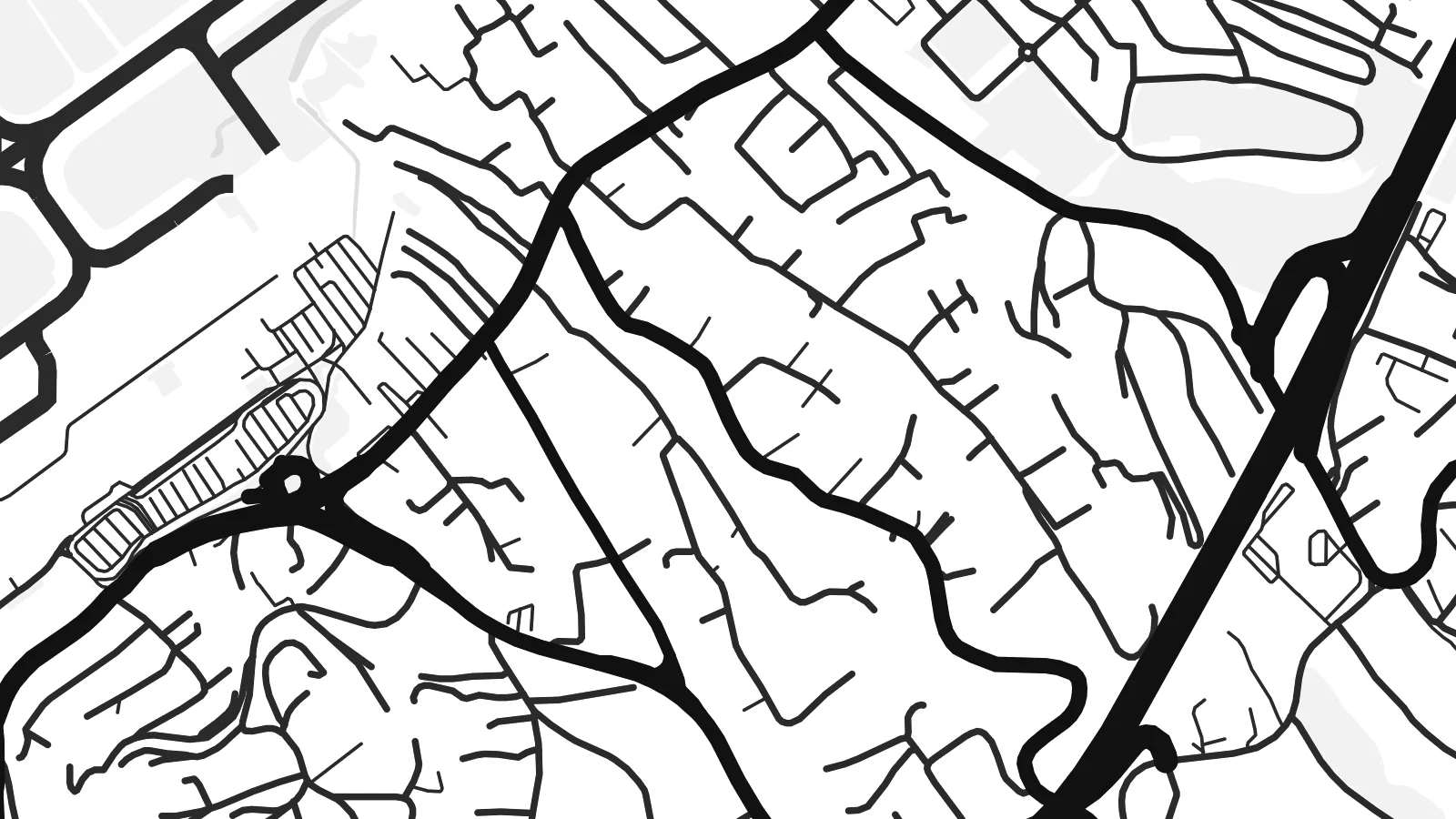 Todelliset pikselit · 24 × 36″ tulostustiedosto
Terävä painojälki
Tämä on 100 %:n rajaus todellisesta tulostustiedostosta. Jokainen juliste — painettu, kehystetty tai ladattu — renderöidään palvelimillamme 300 DPI:n tarkkuudella, jopa 7,200 × 10,800 pikseliin asti, joten pienimmätkin kadut pysyvät terävinä 24 × 36″ -tulosteessa.
Seinällä


Kartta
Faaa is the most populous commune in French Polynesia, spread along the northwest coast of Tahiti just west of Papeete. Its map is shaped by a narrow coastal strip and the mountains behind it: roads and houses crowd the flat land by the lagoon, then climb in thin, winding lines up the ridges and into the valleys that cut into the island.
The dominant feature is Faa'a International Airport, the main gateway to French Polynesia. Its runway was built largely on land reclaimed from the reef, so on a map it appears as a long, straight shape laid along the shoreline, with the lagoon on one side and the town on the other. Few places show a runway so tightly bound to the coast.
Beyond the reef, the open Pacific fills much of the frame, and to the west, across the channel, lies Moorea. A Faaa map poster balances water and land in an unusual way, with the coastline, reef edge and airport forming a strong horizontal band beneath the fine, branching roads of the hills.
The airport runway stretches along reclaimed reef land at the water's edge, a bold straight line that defines the entire coastal side of the commune.
Narrow roads climb from the coast into steep valleys and along ridges, branching into short lanes that end where the slopes become too steep to build.
The main road around Tahiti follows the shoreline through Faaa, linking it to Papeete and the west coast in one continuous line.
Tee siitä omasi
Lisää päivämäärä, nimi tai oma tekstisi, vaihda tyyliä, kokoa tai suuntaa.
Ilmainen esikatselu on matalaresoluutioinen ja vesileimattu. Painetut julisteet ja HD-tiedostot renderöidään 300 DPI:n tarkkuudella, jopa 7,200 × 10,800 px asti, ilman vesileimaa.
Miksi Faaa
For many travellers, Faaa is the first and last place they see in French Polynesia, and for residents it is simply home. The map captures the point where island, lagoon and runway meet, a memorable image for either.
Personalise the title and subtitle, for example with a wedding or arrival date, and keep the exact coordinates. Pick one of five styles, such as Blueprint for the lagoon or Sand for a softer tone, then download the HD files or order a printed poster.
Tilaa Faaa-juliste| Tulostekoko | Resoluutio | Tiedostot |
|---|---|---|
| 30 × 40 cm (11.8 × 15.7″) | 3,543 × 4,724 px | PNG · PDF |
| 29.7 × 42 cm (A3, 11.7 × 16.5″) | 3,508 × 4,961 px | PNG · PDF |
| 42 × 59.4 cm (A2, 16.5 × 23.4″) | 4,961 × 7,016 px | PNG · PDF |
| 45.7 × 61 cm (18 × 24″) | 5,400 × 7,200 px | PNG · PDF |
| 50 × 70 cm (19.7 × 27.6″) | 5,906 × 8,268 px | PNG · PDF |
| 61 × 91.4 cm (24 × 36″) | 7,200 × 10,800 px | PNG · PDF |
Vertailun vuoksi: ilmainen esikatselu on 900 px leveä, vesileimattu ja tarkoitettu näytöille. HD-tiedostojen resoluutio on jopa 8-kertainen kumpaankin suuntaan, ja ne tulostuvat siististi täydessä julistekoossa.
Valitse tyyli sivun yläosasta ja sen jälkeen Painettu juliste — koko ja halutessasi kehys — tai Digitaaliset HD-tiedostot. Kassalla on vain yksi vaihe, ja tilaussivusi päivittyy heti maksun jälkeen.
Se painetaan laadukkaalle 200 g/m² mattapaperille kuudessa eri koossa, 30 × 40 cm:stä 24 × 36″:een. Painetut julisteet alkaen {printFrom}, toimitus sisältyy hintaan.
Kyllä. Valitse massiivipuinen kehys mustana, valkoisena, luonnontammena tai tummana puuna. Kehykseen kuuluu iskunkestävä lasitus, ja se on heti ripustusvalmis. Kehystetyt julisteet alkaen {framedFrom}, toimitus sisältyy hintaan.
Toimitus on ilmainen kaikkialle maailmaan. Jokainen juliste painetaan lähimmän tulostuskumppanimme luona yli 30 maassa ja saapuu yleensä 3–7 arkipäivässä. Voit seurata tilaustasi ja seurantatietoja kohdasta Omat tilaukset.
Lähetä meille kuva 14 päivän kuluessa toimituksesta, niin painamme uuden veloituksetta tai palautamme rahasi.
Kyllä. Muokkaa tämän sivun editorissa otsikkoa, alaotsikkoa ja koordinaattirivi haluamallasi tavalla, ja valitse tyyli ja koko. Painetut, kehystetyt ja digitaaliset tilaukset käyttävät kaikki juuri sinun suunnitelmaasi.
Hintaan $9 saat 300 DPI:n PNG- ja tulostusvalmiit PDF-tiedostot kaikissa kuudessa koossa, ilman vesileimaa, tulostettavaksi missä tahansa. Etkö ole vielä varma? Lataa ensin ilmainen esikatselu vesileimalla.
