Ohio River bluffs
The city's northern edge drops toward the Ohio River, where the dense street pattern gives way to wooded slopes and the wide, gently curving water.
Minimalistinen karttajuliste · Yhdysvallat
39.0751° N / 84.4472° W
A hilltop suburb on the Kentucky bluffs above the Ohio River, with wooded ravines between its winding streets.


Yksi kaupunki, viisi tunnelmaa
Napauta tyyliä nähdäksesi sen seinällä. Kaikki tyylit maksavat saman verran — painettuna, kehystettynä tai HD-tiedostoina.
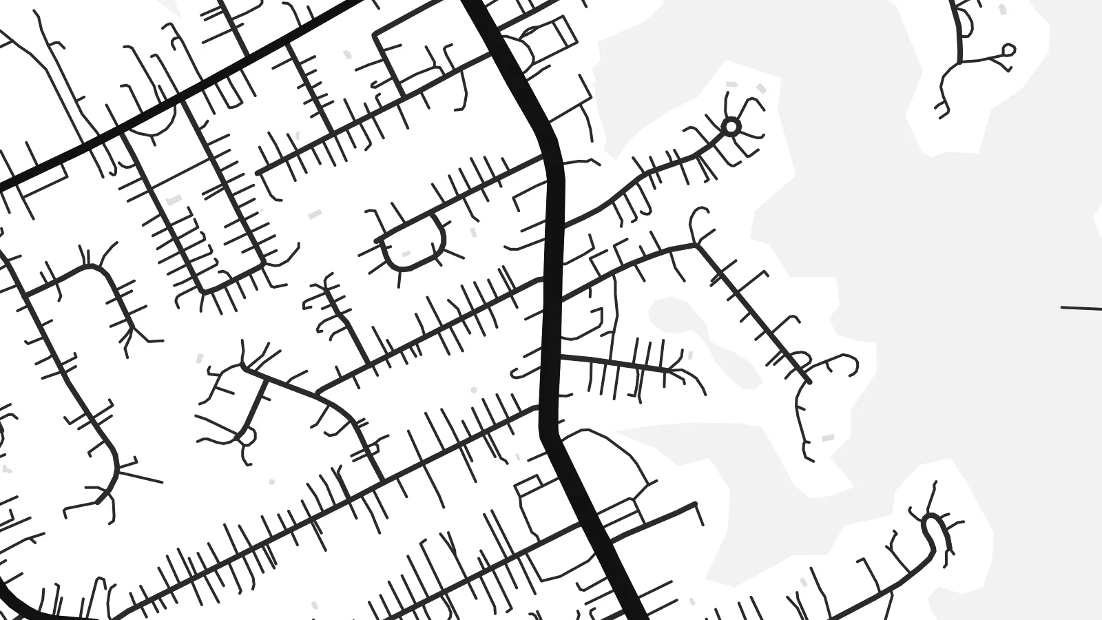 Todelliset pikselit · 24 × 36″ tulostustiedosto
Terävä painojälki
Tämä on 100 %:n rajaus todellisesta tulostustiedostosta. Jokainen juliste — painettu, kehystetty tai ladattu — renderöidään palvelimillamme 300 DPI:n tarkkuudella, jopa 7,200 × 10,800 pikseliin asti, joten pienimmätkin kadut pysyvät terävinä 24 × 36″ -tulosteessa.
Seinällä


Kartta
Fort Thomas is a city in Campbell County, Kentucky, on high ground above the south bank of the Ohio River, across from the east side of Cincinnati. The terrain shapes its street pattern. Main roads run along the ridges, while residential streets curve with the contours and stop at the edges of steep, wooded ravines that run down toward the river.
The city takes its name from a US Army post established here in the late nineteenth century and named after the Civil War general George H. Thomas. Part of the former post is now a public park, and a stone water tower from the military era still stands as a local landmark. The city later grew into a largely residential community.
Near the river the land drops sharply, and the map shows fewer streets there, with the broad line of the Ohio and the Cincinnati riverbank beyond. A Fort Thomas map poster pairs the tidy suburban streets on the ridge with that open water, so the composition keeps a strong sense of height even in flat black and white.
The city's northern edge drops toward the Ohio River, where the dense street pattern gives way to wooded slopes and the wide, gently curving water.
The grounds of the old military post, now largely parkland, show as open space among the residential streets, a reminder of how the city got its name.
Main roads follow the high ground, and side streets curve with the hills, producing a layout of long lines and soft bends rather than a strict grid.
Tee siitä omasi
Lisää päivämäärä, nimi tai oma tekstisi, vaihda tyyliä, kokoa tai suuntaa.
Ilmainen esikatselu on matalaresoluutioinen ja vesileimattu. Painetut julisteet ja HD-tiedostot renderöidään 300 DPI:n tarkkuudella, jopa 7,200 × 10,800 px asti, ilman vesileimaa.
Miksi Fort Thomas
Fort Thomas residents tend to be attached to their neighbourhoods, their schools and their views of the river. A map of the city is a thoughtful way to mark where you live or grew up, clean enough for a modern interior yet rooted in one specific place.
Personalise the title, subtitle and coordinates line with a name or a date, and choose one of five styles: Classic black & white, Noir, Paper, Blueprint or Sand. The digital version costs $9 for six sizes with no watermark, and a printed matte poster can arrive framed.
Tilaa Fort Thomas-juliste| Tulostekoko | Resoluutio | Tiedostot |
|---|---|---|
| 30 × 40 cm11.8 × 15.7″ | 3,543 × 4,724 px | PNG · PDF |
| 29.7 × 42 cm (A3)11.7 × 16.5″ | 3,508 × 4,961 px | PNG · PDF |
| 42 × 59.4 cm (A2)16.5 × 23.4″ | 4,961 × 7,016 px | PNG · PDF |
| 45.7 × 61 cm18 × 24″ | 5,400 × 7,200 px | PNG · PDF |
| 50 × 70 cm19.7 × 27.6″ | 5,906 × 8,268 px | PNG · PDF |
| 61 × 91.4 cm24 × 36″ | 7,200 × 10,800 px | PNG · PDF |
Vertailun vuoksi: ilmainen esikatselu on 900 px leveä, vesileimattu ja tarkoitettu näytöille. HD-tiedostojen resoluutio on jopa 8-kertainen kumpaankin suuntaan, ja ne tulostuvat siististi täydessä julistekoossa.
Valitse tyyli sivun yläosasta ja sen jälkeen Painettu juliste — koko ja halutessasi kehys — tai Digitaaliset HD-tiedostot. Kassalla on vain yksi vaihe, ja tilaussivusi päivittyy heti maksun jälkeen.
Se painetaan laadukkaalle 200 g/m² mattapaperille kuudessa eri koossa, 30 × 40 cm:stä 24 × 36″:een. Painetut julisteet alkaen $39, toimitus sisältyy hintaan.
Kyllä. Valitse massiivipuinen kehys mustana, valkoisena, luonnontammena tai tummana puuna. Kehykseen kuuluu iskunkestävä lasitus, ja se on heti ripustusvalmis. Kehystetyt julisteet alkaen $99, toimitus sisältyy hintaan.
Toimitus on ilmainen yli 60 maahan. Jokaisen julisteen tulostaa lähin painokumppanimme yli 30 maassa, ja se saapuu yleensä 3–7 arkipäivässä. Voit seurata tilaa ja seurantatietoja kohdassa Omat tilaukset. Joihinkin maihin toimitus kestää 2–5 viikkoa, ja jos emme vielä toimita maahasi, sivusto kertoo siitä ennen maksamista.
Lähetä meille kuva 14 päivän kuluessa toimituksesta, niin painamme uuden veloituksetta tai palautamme rahasi.
Kyllä. Muokkaa tämän sivun editorissa otsikkoa, alaotsikkoa ja koordinaattirivi haluamallasi tavalla, ja valitse tyyli ja koko. Painetut, kehystetyt ja digitaaliset tilaukset käyttävät kaikki juuri sinun suunnitelmaasi.
Hintaan $9 saat 300 DPI:n PNG- ja tulostusvalmiit PDF-tiedostot kaikissa kuudessa koossa, ilman vesileimaa, tulostettavaksi missä tahansa. Etkö ole vielä varma? Lataa ensin ilmainen esikatselu vesileimalla.
