Clock tower centre
The central roundabout and clock tower anchor the small grid of commercial streets, which is the densest and most regular part of the map.
Minimalistinen karttajuliste · Tansania
3.3500° S / 37.3333° E
A town on the lower southern slopes of Kilimanjaro, crossed by streams running down toward the plains


Yksi kaupunki, viisi tunnelmaa
Napauta tyyliä nähdäksesi sen seinällä. Kaikki tyylit maksavat saman verran — painettuna, kehystettynä tai HD-tiedostoina.
 Todelliset pikselit · 24 × 36″ tulostustiedosto
Terävä painojälki
Tämä on 100 %:n rajaus todellisesta tulostustiedostosta. Jokainen juliste — painettu, kehystetty tai ladattu — renderöidään palvelimillamme 300 DPI:n tarkkuudella, jopa 7,200 × 10,800 pikseliin asti, joten pienimmätkin kadut pysyvät terävinä 24 × 36″ -tulosteessa.
Seinällä
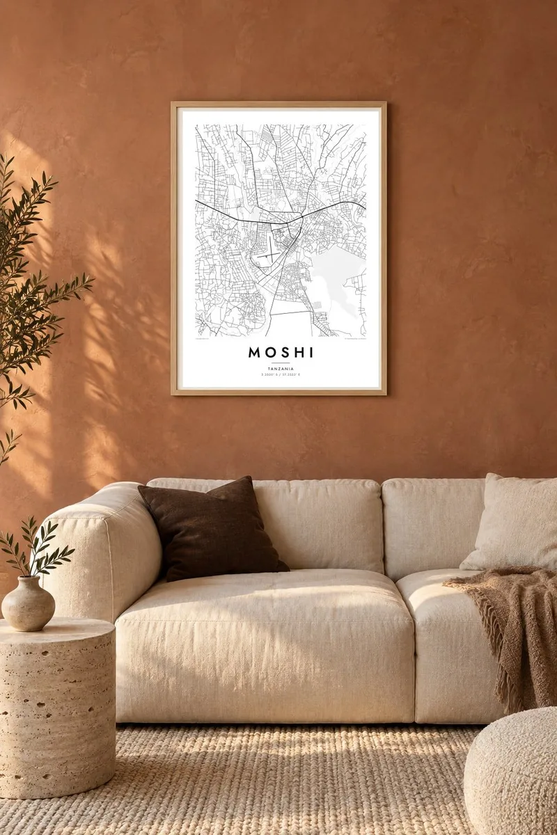
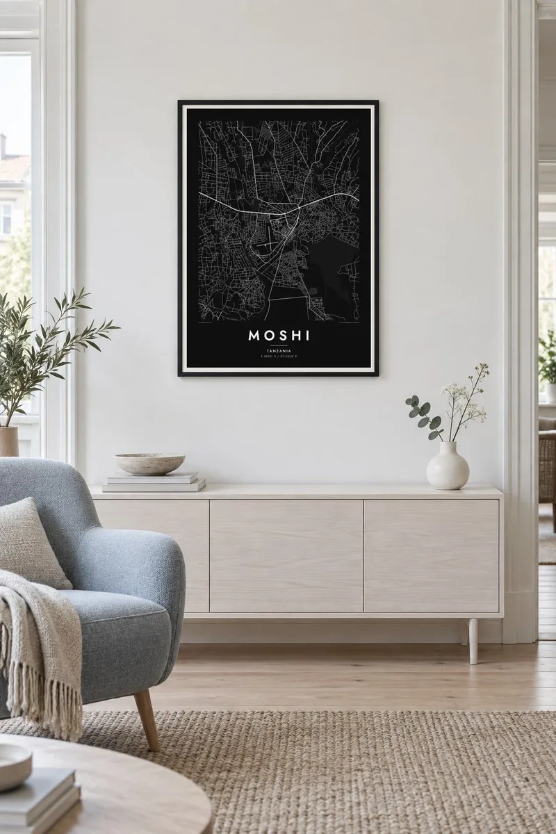
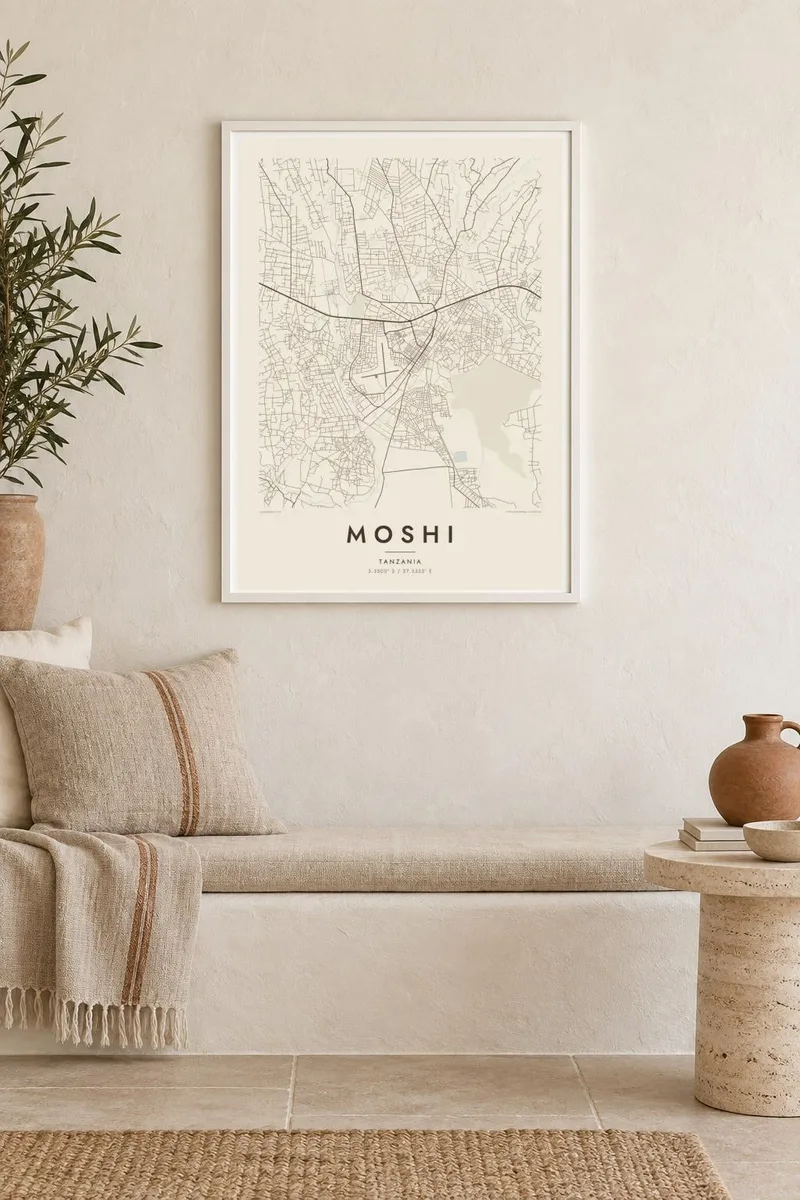
Kartta
Moshi lies at the foot of Mount Kilimanjaro in northern Tanzania, on the gently sloping ground where the mountain's lower flanks meet the plains. On a map the town centre is compact, with a grid of streets around the central market and the clock tower. Suburbs spread uphill to the north and outward along the main roads to Arusha and the Kenyan border.
Water shapes the land around the town. Streams fed by rain and meltwater from the mountain cut small valleys through Moshi and the villages around it on their way south to the plains. Above the town, the slopes are covered with a patchwork of farms and home gardens growing coffee and bananas. This landscape has supported the Chagga people for generations.
Moshi is the main starting point for climbs of Kilimanjaro, Africa's highest mountain, and trekkers pass through the town all year. A Moshi map poster sets its streets against the rising ground. The grid of the centre gives way to the fine lines of paths and farms as the land climbs toward the national park.
The central roundabout and clock tower anchor the small grid of commercial streets, which is the densest and most regular part of the map.
Streams coming down from Kilimanjaro cut shallow valleys across the town and its surroundings. They draw long, parallel lines running roughly north to south.
North of town, farmland and villages climb the mountain's lower slopes. The poster shifts gradually from urban streets to open terrain.
Tee siitä omasi
Lisää päivämäärä, nimi tai oma tekstisi, vaihda tyyliä, kokoa tai suuntaa.
Ilmainen esikatselu on matalaresoluutioinen ja vesileimattu. Painetut julisteet ja HD-tiedostot renderöidään 300 DPI:n tarkkuudella, jopa 7,200 × 10,800 px asti, ilman vesileimaa.
Miksi Moshi
Climbers who reached the summit, volunteers and students who stayed in Moshi, and families from the Kilimanjaro region all find meaning in this map. It marks a starting point, a home or a long season spent below the mountain.
Add the date of your climb or your stay, a title and a subtitle, and choose one of five styles, from Classic black & white to warm Sand. Download the HD files for $9, or order a matte print shipped from a partner close to you.
Tilaa Moshi-juliste| Tulostekoko | Resoluutio | Tiedostot |
|---|---|---|
| 30 × 40 cm (11.8 × 15.7″) | 3,543 × 4,724 px | PNG · PDF |
| 29.7 × 42 cm (A3, 11.7 × 16.5″) | 3,508 × 4,961 px | PNG · PDF |
| 42 × 59.4 cm (A2, 16.5 × 23.4″) | 4,961 × 7,016 px | PNG · PDF |
| 45.7 × 61 cm (18 × 24″) | 5,400 × 7,200 px | PNG · PDF |
| 50 × 70 cm (19.7 × 27.6″) | 5,906 × 8,268 px | PNG · PDF |
| 61 × 91.4 cm (24 × 36″) | 7,200 × 10,800 px | PNG · PDF |
Vertailun vuoksi: ilmainen esikatselu on 900 px leveä, vesileimattu ja tarkoitettu näytöille. HD-tiedostojen resoluutio on jopa 8-kertainen kumpaankin suuntaan, ja ne tulostuvat siististi täydessä julistekoossa.
Valitse tyyli sivun yläosasta ja sen jälkeen Painettu juliste — koko ja halutessasi kehys — tai Digitaaliset HD-tiedostot. Kassalla on vain yksi vaihe, ja tilaussivusi päivittyy heti maksun jälkeen.
Se painetaan laadukkaalle 200 g/m² mattapaperille kuudessa eri koossa, 30 × 40 cm:stä 24 × 36″:een. Painetut julisteet alkaen {printFrom}, toimitus sisältyy hintaan.
Kyllä. Valitse massiivipuinen kehys mustana, valkoisena, luonnontammena tai tummana puuna. Kehykseen kuuluu iskunkestävä lasitus, ja se on heti ripustusvalmis. Kehystetyt julisteet alkaen {framedFrom}, toimitus sisältyy hintaan.
Toimitus on ilmainen kaikkialle maailmaan. Jokainen juliste painetaan lähimmän tulostuskumppanimme luona yli 30 maassa ja saapuu yleensä 3–7 arkipäivässä. Voit seurata tilaustasi ja seurantatietoja kohdasta Omat tilaukset.
Lähetä meille kuva 14 päivän kuluessa toimituksesta, niin painamme uuden veloituksetta tai palautamme rahasi.
Kyllä. Muokkaa tämän sivun editorissa otsikkoa, alaotsikkoa ja koordinaattirivi haluamallasi tavalla, ja valitse tyyli ja koko. Painetut, kehystetyt ja digitaaliset tilaukset käyttävät kaikki juuri sinun suunnitelmaasi.
Hintaan $9 saat 300 DPI:n PNG- ja tulostusvalmiit PDF-tiedostot kaikissa kuudessa koossa, ilman vesileimaa, tulostettavaksi missä tahansa. Etkö ole vielä varma? Lataa ensin ilmainen esikatselu vesileimalla.
Lähistöllä
