The river confluence
The Saigon and Đồng Nai rivers merge here to form the Nhà Bè river. Two broad channels become one in a wide bend that dominates the upper part of the map.
Minimalistinen karttajuliste · Vietnam
10.6967° N / 106.7403° E
Low, water-laced ground on Ho Chi Minh City's southern edge, where great rivers meet and turn toward the sea


Yksi kaupunki, viisi tunnelmaa
Napauta tyyliä nähdäksesi sen seinällä. Kaikki tyylit maksavat saman verran — painettuna, kehystettynä tai HD-tiedostoina.
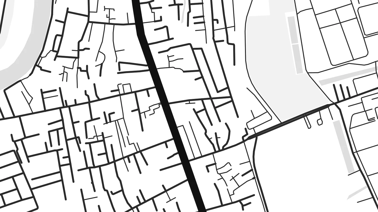 Todelliset pikselit · 24 × 36″ tulostustiedosto
Terävä painojälki
Tämä on 100 %:n rajaus todellisesta tulostustiedostosta. Jokainen juliste — painettu, kehystetty tai ladattu — renderöidään palvelimillamme 300 DPI:n tarkkuudella, jopa 7,200 × 10,800 pikseliin asti, joten pienimmätkin kadut pysyvät terävinä 24 × 36″ -tulosteessa.
Seinällä


Kartta
Nhà Bè lies at the southern edge of Ho Chi Minh City, and from above it looks more like water than land. Here the Saigon and Đồng Nai rivers join to form the Nhà Bè river. Just south, the wide channels of the Soài Rạp and Lòng Tàu begin their run toward the coast. The settled areas follow the embankments and main roads, and between them lie fingers of low, flat ground cut by creeks.
The street pattern is loose and practical. There is no old grid or walled core. Instead you see long roads running parallel to the riverbanks, short lanes branching off toward the water, and blocks of warehouses and industrial land toward the south. Small canals and tidal creeks weave through everything. On a Nhà Bè map poster they appear as fine, irregular threads between the heavier outlines of the main rivers.
The river confluence has long made this a place of shipping and trade. Vessels bound for the city's ports pass through these channels, and the area's industry still leans toward the water. On a monochrome print, the district's fragmented land and broad river bends make an unusual composition. It feels closer to a delta chart than to a city plan, which is exactly its character.
The Saigon and Đồng Nai rivers merge here to form the Nhà Bè river. Two broad channels become one in a wide bend that dominates the upper part of the map.
A dense web of small creeks and canals crosses the low ground between the main rivers. It produces a fine, hand-drawn texture that sets Nhà Bè apart from the denser inner districts.
To the south, the waterways open toward the Soài Rạp and the coast. Their long, widening lines carry the eye out of the frame and hint at the delta beyond.
Tee siitä omasi
Lisää päivämäärä, nimi tai oma tekstisi, vaihda tyyliä, kokoa tai suuntaa.
Ilmainen esikatselu on matalaresoluutioinen ja vesileimattu. Painetut julisteet ja HD-tiedostot renderöidään 300 DPI:n tarkkuudella, jopa 7,200 × 10,800 px asti, ilman vesileimaa.
Miksi Nhà Bè
This map suits anyone who has lived, worked or grown up along Saigon's southern rivers, or anyone who likes maps where water leads the composition. The irregular shapes feel calm on a wall and pair well with plain interiors and natural materials.
You can personalise the title and subtitle, including Vietnamese diacritics, and use the coordinates line for a date or a home address. Five styles are available: Classic black & white, Noir, Paper, Blueprint and Sand. Noir makes the channels glow, and Sand gives the delta a warmer tone.
Tilaa Nhà Bè-juliste| Tulostekoko | Resoluutio | Tiedostot |
|---|---|---|
| 30 × 40 cm11.8 × 15.7″ | 3,543 × 4,724 px | PNG · PDF |
| 29.7 × 42 cm (A3)11.7 × 16.5″ | 3,508 × 4,961 px | PNG · PDF |
| 42 × 59.4 cm (A2)16.5 × 23.4″ | 4,961 × 7,016 px | PNG · PDF |
| 45.7 × 61 cm18 × 24″ | 5,400 × 7,200 px | PNG · PDF |
| 50 × 70 cm19.7 × 27.6″ | 5,906 × 8,268 px | PNG · PDF |
| 61 × 91.4 cm24 × 36″ | 7,200 × 10,800 px | PNG · PDF |
Vertailun vuoksi: ilmainen esikatselu on 900 px leveä, vesileimattu ja tarkoitettu näytöille. HD-tiedostojen resoluutio on jopa 8-kertainen kumpaankin suuntaan, ja ne tulostuvat siististi täydessä julistekoossa.
Valitse tyyli sivun yläosasta ja sen jälkeen Painettu juliste — koko ja halutessasi kehys — tai Digitaaliset HD-tiedostot. Kassalla on vain yksi vaihe, ja tilaussivusi päivittyy heti maksun jälkeen.
Se painetaan laadukkaalle 200 g/m² mattapaperille kuudessa eri koossa, 30 × 40 cm:stä 24 × 36″:een. Painetut julisteet alkaen $39, toimitus sisältyy hintaan.
Kyllä. Valitse massiivipuinen kehys mustana, valkoisena, luonnontammena tai tummana puuna. Kehykseen kuuluu iskunkestävä lasitus, ja se on heti ripustusvalmis. Kehystetyt julisteet alkaen $99, toimitus sisältyy hintaan.
Toimitus on ilmainen yli 60 maahan. Jokaisen julisteen tulostaa lähin painokumppanimme yli 30 maassa, ja se saapuu yleensä 3–7 arkipäivässä. Voit seurata tilaa ja seurantatietoja kohdassa Omat tilaukset. Joihinkin maihin toimitus kestää 2–5 viikkoa, ja jos emme vielä toimita maahasi, sivusto kertoo siitä ennen maksamista.
Lähetä meille kuva 14 päivän kuluessa toimituksesta, niin painamme uuden veloituksetta tai palautamme rahasi.
Kyllä. Muokkaa tämän sivun editorissa otsikkoa, alaotsikkoa ja koordinaattirivi haluamallasi tavalla, ja valitse tyyli ja koko. Painetut, kehystetyt ja digitaaliset tilaukset käyttävät kaikki juuri sinun suunnitelmaasi.
Hintaan $9 saat 300 DPI:n PNG- ja tulostusvalmiit PDF-tiedostot kaikissa kuudessa koossa, ilman vesileimaa, tulostettavaksi missä tahansa. Etkö ole vielä varma? Lataa ensin ilmainen esikatselu vesileimalla.
