Shrine forests
The grounds of Naikū and Gekū appear as broad open areas surrounded by streets. They are some of the largest calm shapes on the map, and they anchor the whole composition.
Minimalist na map poster · Japan
34.4833° N / 136.7000° E
A shrine city between forested hills and Ise Bay, laid out along two rivers and the old pilgrim roads.


Isang lungsod, limang mood
I-tap ang isang estilo para makita ito sa dingding. Pareho ang presyo ng bawat estilo — naka-print, naka-frame, o bilang HD files.
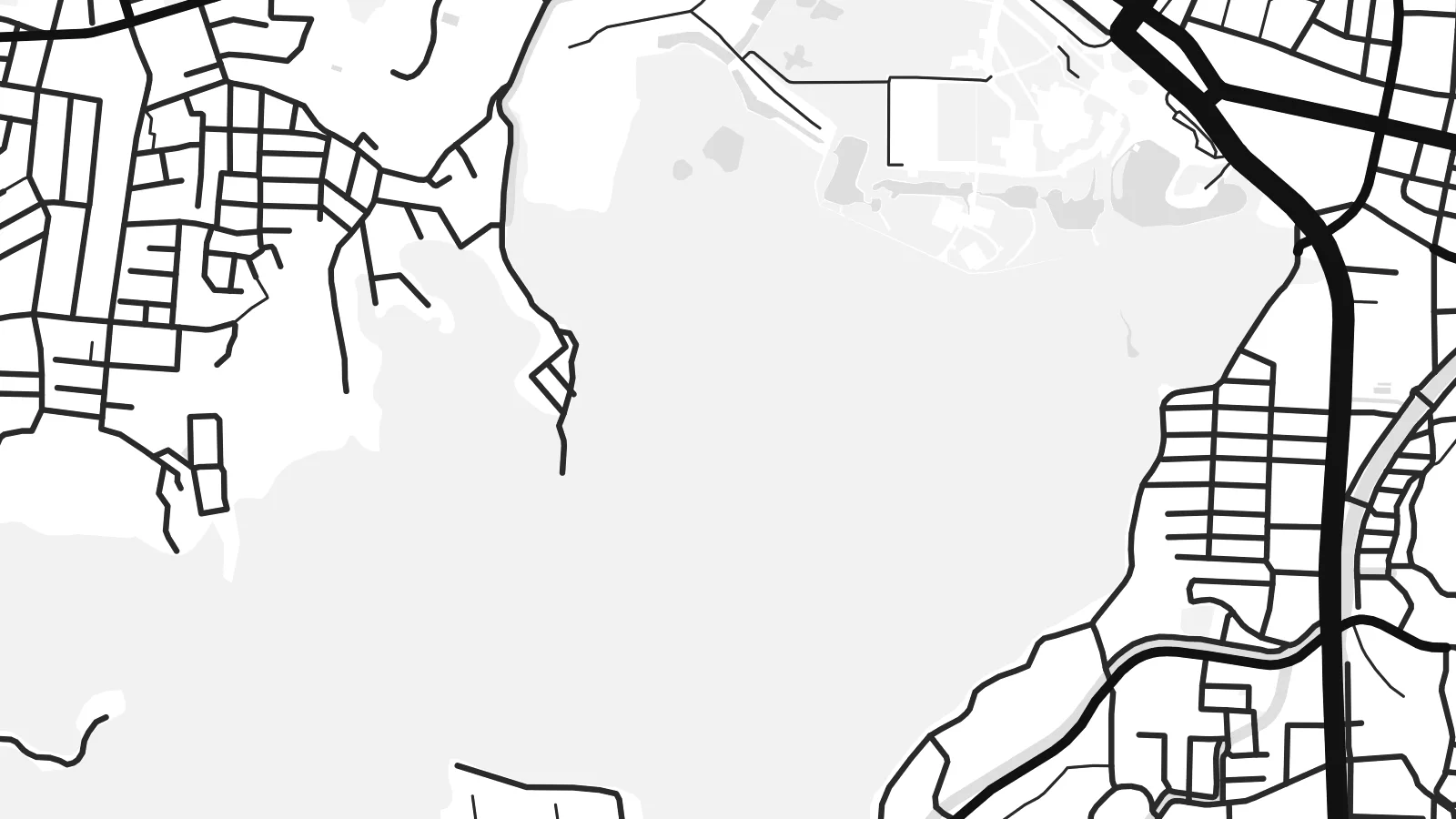 Aktwal na pixels · 24 × 36″ print file
Matalas sa print
Ito ay 100% crop ng aktwal na print file. Bawat poster — naka-print, naka-frame, o na-download — ay ginagawa sa aming mga server sa 300 DPI, hanggang 7,200 × 10,800 pixels, kaya malinaw pa rin ang pinakamaliliit na kalye kahit sa 24 × 36″ na print.
Sa dingding


Ang mapa
Ise lies in Mie Prefecture on the Kii Peninsula, between Ise Bay to the north and steep, wooded hills to the south. The Miyagawa and Isuzu rivers cross the plain, and the city's streets follow the routes that pilgrims walked for centuries between the two main precincts of the Ise Grand Shrine.
The shrine is among the most important sites in Shinto. Its inner shrine, Naikū, is dedicated to the sun goddess Amaterasu, and the outer shrine, Gekū, stands closer to the city centre. The main shrine buildings are traditionally rebuilt every twenty years. The coastal district of Futami, known for the paired Meoto Iwa rocks, is also part of the city.
An Ise map poster shows a clear contrast. Dense streets gather near the railway stations and along the old approach to Naikū, while the shrine forests appear as large unbroken areas. Rivers wind through the middle, and the bay shore forms a long northern edge.
The grounds of Naikū and Gekū appear as broad open areas surrounded by streets. They are some of the largest calm shapes on the map, and they anchor the whole composition.
Two rivers cross the city on their way to the bay. They add flowing lines through the grid, and the Isuzu passes right beside the inner shrine.
Ise Bay forms the northern boundary. It gives the poster a long shoreline, and the Futami coast lies towards its eastern end.
Gawin mong sa iyo
Magdagdag ng petsa, pangalan o sarili mong linya, at palitan ang estilo, sukat o oryentasyon.
Ang libreng preview ay low-resolution na may watermark. Ang mga print at HD files ay ginagawa sa 300 DPI, hanggang 7,200 × 10,800 px, walang watermark.
Bakit Ise
A visit to Ise is often a meaningful one, whether as a pilgrimage, a family trip or a first encounter with Shinto architecture. A map of the city is a quiet reminder of that visit.
Add the date of your visit to the subtitle, edit the coordinates line if you like, and pick from five styles, including the cool Blueprint and the dark Noir. The HD files cover six print sizes, from A3 up to 24×36″.
I-order ang Ise poster| Sukat ng print | Resolution | Mga file |
|---|---|---|
| 30 × 40 cm11.8 × 15.7″ | 3,543 × 4,724 px | PNG · PDF |
| 29.7 × 42 cm (A3)11.7 × 16.5″ | 3,508 × 4,961 px | PNG · PDF |
| 42 × 59.4 cm (A2)16.5 × 23.4″ | 4,961 × 7,016 px | PNG · PDF |
| 45.7 × 61 cm18 × 24″ | 5,400 × 7,200 px | PNG · PDF |
| 50 × 70 cm19.7 × 27.6″ | 5,906 × 8,268 px | PNG · PDF |
| 61 × 91.4 cm24 × 36″ | 7,200 × 10,800 px | PNG · PDF |
Bilang paghahambing, ang libreng preview ay 900 px ang lapad, may watermark at para lang sa screen. Ang HD files ay may hanggang 8× na resolution sa bawat direksyon at malinis na napi-print sa buong laki ng poster.
Pumili ng estilo sa itaas ng page, pagkatapos ay piliin ang Printed Poster — isang size at, kung gusto mo, isang frame — o Digital HD Files. Isang hakbang lang ang checkout, at agad na mag-a-update ang iyong order page kapag natapos na ang bayad.
Naka-print ito sa premium na 200 gsm matte paper sa isa sa anim na sizes, mula 30 × 40 cm hanggang 24 × 36″. Nagsisimula ang naka-print na poster sa $39, kasama na ang shipping.
Oo. Pumili ng solid wood frame sa itim, puti, natural oak, o dark wood. May kasamang shatterproof glazing at handa nang isabit. Nagsisimula ang naka-frame na poster sa $99, kasama na ang shipping.
Libre ang shipping sa 60+ bansa. Ipi-print ang bawat poster ng pinakamalapit sa aming mga print partner sa 30+ bansa, at karaniwang dumarating ito sa loob ng 3–7 araw ng negosyo. Masusundan mo ang status at tracking sa Aking Mga Order. Ang ilang bansa ay inaabot ng 2–5 linggo, at kung hindi pa kami nagpapadala sa inyo, sasabihin ito ng site bago ka magbayad.
Magpadala lang ng larawan sa loob ng 14 na araw mula sa paghahatid at ipapa-print namin ulit ito nang libre o irerefund ka namin.
Oo. Sa editor sa page na ito, baguhin ang title, subtitle, at coordinates line sa anumang gusto mo, at pumili ng estilo at size. Ginagamit ng naka-print, naka-frame, at digital na order ang eksaktong disenyo mo.
Para sa $9, makukuha mo ang 300 DPI PNG at print-ready PDF files sa lahat ng anim na sizes, walang watermark, para ma-print kahit saan. Hindi pa sigurado? Mag-download muna ng libreng preview na may watermark.
Malapit
