Sagami Bay coast
The shoreline curves along the eastern side of the map, with the harbour and beach marking the point where the town meets the open bay.
Minimalist na map poster · Japan
34.9667° N / 139.0833° E
A hot spring city on the Izu Peninsula, where streets cling to a narrow coast beneath steep volcanic hills.


Isang lungsod, limang mood
I-tap ang isang estilo para makita ito sa dingding. Pareho ang presyo ng bawat estilo — naka-print, naka-frame, o bilang HD files.
 Aktwal na pixels · 24 × 36″ print file
Matalas sa print
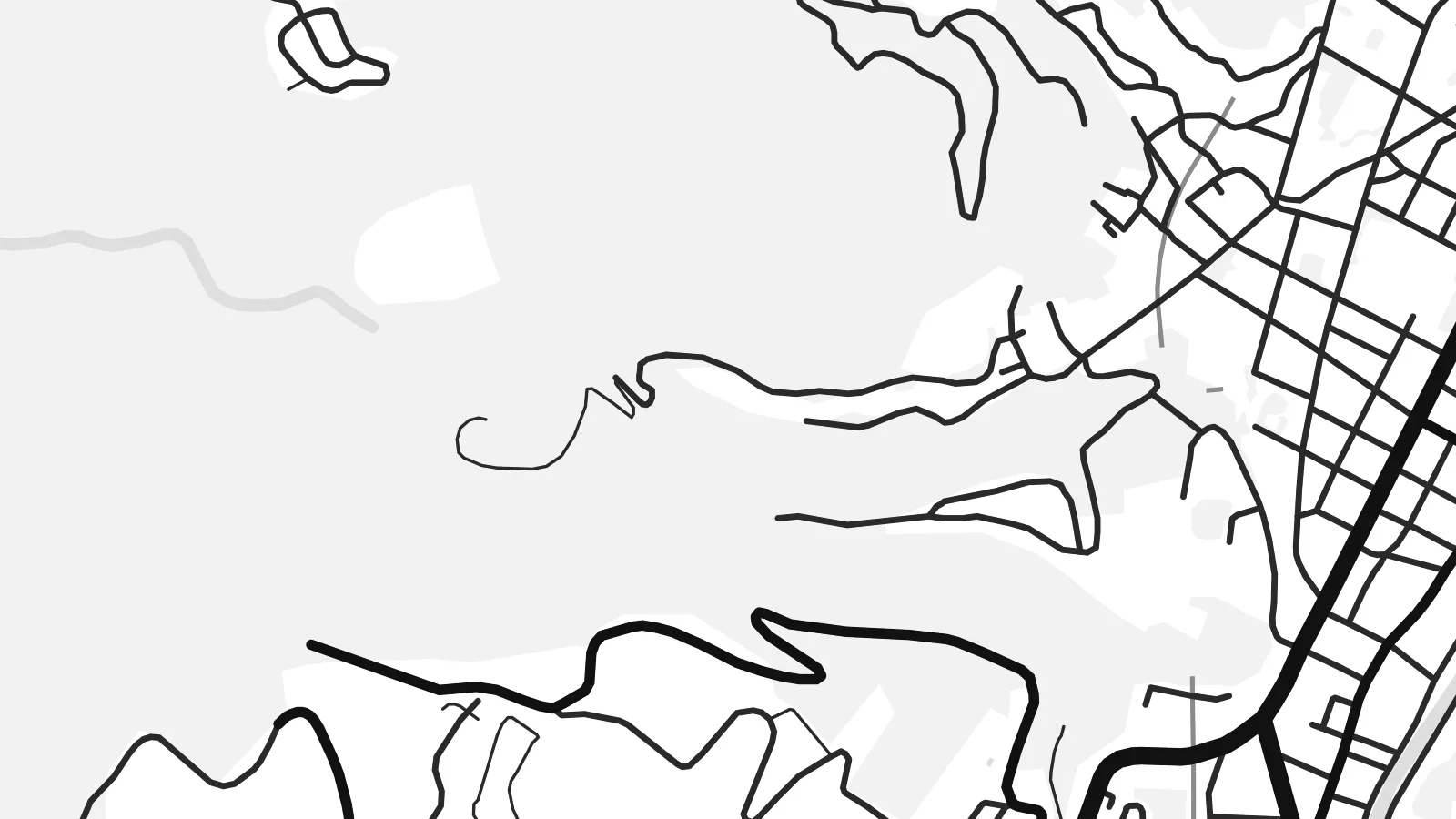
Ito ay 100% crop ng aktwal na print file. Bawat poster — naka-print, naka-frame, o na-download — ay ginagawa sa aming mga server sa 300 DPI, hanggang 7,200 × 10,800 pixels, kaya malinaw pa rin ang pinakamaliliit na kalye kahit sa 24 × 36″ na print.
Sa dingding


Ang mapa
Itō lies on the eastern coast of the Izu Peninsula in Shizuoka, facing Sagami Bay. On a map the city occupies a narrow strip between the sea and the mountains, with streets concentrated along the shore and the valley of the Matsukawa River, and roads climbing into the hills behind.
It is one of Japan's well-known onsen towns, with hot springs and ryokan throughout the city. Itō is also where the English navigator William Adams built Western-style ships for Tokugawa Ieyasu in the early seventeenth century. To the south, the scoria cone of Mount Ōmuro and the rugged Jōgasaki coast mark the volcanic landscape.
An Itō map poster shows the tension between sea and slope. The coastline bends along the bay, the town centre gathers in the lowland by the harbour, and winding roads trace the contours of the hills, giving the design both density and flowing movement.
The shoreline curves along the eastern side of the map, with the harbour and beach marking the point where the town meets the open bay.
The small river runs down through the town centre to the sea, and the densest streets gather along its lower course.
Roads wind up the volcanic slopes behind the town, their curves following the terrain and adding a looser, organic pattern to the print.
Gawin mong sa iyo
Magdagdag ng petsa, pangalan o sarili mong linya, at palitan ang estilo, sukat o oryentasyon.
Ang libreng preview ay low-resolution na may watermark. Ang mga print at HD files ay ginagawa sa 300 DPI, hanggang 7,200 × 10,800 px, walang watermark.
Bakit Itō
Itō is a favourite weekend escape from Tokyo, and many people hang its map as a memory of a trip, a honeymoon or a family holiday at a ryokan. The coast and hills make a composition with real depth.
Personalise the title, subtitle and coordinates line, for example with the dates of your stay, and choose one of five styles: Classic black & white, Noir, Paper, Blueprint or Sand. Blueprint suits the coastline, Sand the warm onsen mood.
I-order ang Itō poster| Sukat ng print | Resolution | Mga file |
|---|---|---|
| 30 × 40 cm (11.8 × 15.7″) | 3,543 × 4,724 px | PNG · PDF |
| 29.7 × 42 cm (A3, 11.7 × 16.5″) | 3,508 × 4,961 px | PNG · PDF |
| 42 × 59.4 cm (A2, 16.5 × 23.4″) | 4,961 × 7,016 px | PNG · PDF |
| 45.7 × 61 cm (18 × 24″) | 5,400 × 7,200 px | PNG · PDF |
| 50 × 70 cm (19.7 × 27.6″) | 5,906 × 8,268 px | PNG · PDF |
| 61 × 91.4 cm (24 × 36″) | 7,200 × 10,800 px | PNG · PDF |
Bilang paghahambing, ang libreng preview ay 900 px ang lapad, may watermark at para lang sa screen. Ang HD files ay may hanggang 8× na resolution sa bawat direksyon at malinis na napi-print sa buong laki ng poster.
Pumili ng estilo sa itaas ng page, pagkatapos ay piliin ang Printed Poster — isang size at, kung gusto mo, isang frame — o Digital HD Files. Isang hakbang lang ang checkout, at agad na mag-a-update ang iyong order page kapag natapos na ang bayad.
Naka-print ito sa premium na 200 gsm matte paper sa isa sa anim na sizes, mula 30 × 40 cm hanggang 24 × 36″. Nagsisimula ang naka-print na poster sa $39, kasama na ang shipping.
Oo. Pumili ng solid wood frame sa itim, puti, natural oak, o dark wood. May kasamang shatterproof glazing at handa nang isabit. Nagsisimula ang naka-frame na poster sa $99, kasama na ang shipping.
Libre ang pagpapadala sa buong mundo. Bawat poster ay piniprint ng pinakamalapit sa aming mga print partner sa mahigit 30 bansa at karaniwang dumarating sa loob ng 3–7 araw ng negosyo. Masusubaybayan mo ang status at tracking sa Aking Mga Order. May ilang bansang aabutin ng 2–5 linggo, at kung hindi pa kami nagpapadala sa inyong bansa, sasabihin ito ng site bago ka magbayad.
Magpadala lang ng larawan sa loob ng 14 na araw mula sa paghahatid at ipapa-print namin ulit ito nang libre o irerefund ka namin.
Oo. Sa editor sa page na ito, baguhin ang title, subtitle, at coordinates line sa anumang gusto mo, at pumili ng estilo at size. Ginagamit ng naka-print, naka-frame, at digital na order ang eksaktong disenyo mo.
Para sa $9, makukuha mo ang 300 DPI PNG at print-ready PDF files sa lahat ng anim na sizes, walang watermark, para ma-print kahit saan. Hindi pa sigurado? Mag-download muna ng libreng preview na may watermark.
Malapit
