Wooden old town
Narrow lanes of wooden houses line the bay near the convent church, a small, dense area with a very different rhythm from the newer town.
Minimalist na map poster · Finland
60.4674° N / 22.0243° E
A small wooden old town on a sheltered bay, with archipelago islands, bridges and harbours spread around it


Isang lungsod, limang mood
I-tap ang isang estilo para makita ito sa dingding. Pareho ang presyo ng bawat estilo — naka-print, naka-frame, o bilang HD files.
 Aktwal na pixels · 24 × 36″ print file
Matalas sa print
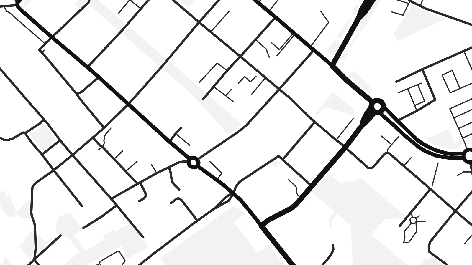
Ito ay 100% crop ng aktwal na print file. Bawat poster — naka-print, naka-frame, o na-download — ay ginagawa sa aming mga server sa 300 DPI, hanggang 7,200 × 10,800 pixels, kaya malinaw pa rin ang pinakamaliliit na kalye kahit sa 24 × 36″ na print.
Sa dingding


Ang mapa
Naantali lies on the southwest coast of Finland, west of Turku, at the edge of the Archipelago Sea. The town grew around a Bridgettine convent founded in the fifteenth century, and its old town of wooden houses still gathers on narrow lanes beside a sheltered bay.
On the map, the coastline dominates. Islands, bays and channels break the land into irregular shapes, bridges connect nearby islands to the mainland, and the harbour areas show as long straight quays. Newer residential areas extend inland, while a busy port handles ships and ferries.
A Naantali map poster shows one of Finland's best-loved summer towns. Kultaranta, the summer residence of the Finnish president, stands on Luonnonmaa island, and Moomin World occupies the small island of Kailo, connected to the old town by a bridge.
Narrow lanes of wooden houses line the bay near the convent church, a small, dense area with a very different rhythm from the newer town.
Islands and channels spread out from the coast, drawing complex shorelines and bridges that give the whole map a lively, fragmented edge.
The small island of Moomin World sits just off the old town, joined by a bridge and easy to spot in the bay.
Gawin mong sa iyo
Magdagdag ng petsa, pangalan o sarili mong linya, at palitan ang estilo, sukat o oryentasyon.
Ang libreng preview ay low-resolution na may watermark. Ang mga print at HD files ay ginagawa sa 300 DPI, hanggang 7,200 × 10,800 px, walang watermark.
Bakit Naantali
Naantali suits families who spent summers here, Finns with archipelago roots, and anyone who loves maps full of islands and shorelines. It is a place of light and water, drawn in simple lines.
Add your own title and subtitle, such as a summer year, and edit the coordinates. Blueprint suits the maritime setting, while Paper gives the old town the tone of a historic sea chart.
I-order ang Naantali poster| Sukat ng print | Resolution | Mga file |
|---|---|---|
| 30 × 40 cm11.8 × 15.7″ | 3,543 × 4,724 px | PNG · PDF |
| 29.7 × 42 cm (A3)11.7 × 16.5″ | 3,508 × 4,961 px | PNG · PDF |
| 42 × 59.4 cm (A2)16.5 × 23.4″ | 4,961 × 7,016 px | PNG · PDF |
| 45.7 × 61 cm18 × 24″ | 5,400 × 7,200 px | PNG · PDF |
| 50 × 70 cm19.7 × 27.6″ | 5,906 × 8,268 px | PNG · PDF |
| 61 × 91.4 cm24 × 36″ | 7,200 × 10,800 px | PNG · PDF |
Bilang paghahambing, ang libreng preview ay 900 px ang lapad, may watermark at para lang sa screen. Ang HD files ay may hanggang 8× na resolution sa bawat direksyon at malinis na napi-print sa buong laki ng poster.
Pumili ng estilo sa itaas ng page, pagkatapos ay piliin ang Printed Poster — isang size at, kung gusto mo, isang frame — o Digital HD Files. Isang hakbang lang ang checkout, at agad na mag-a-update ang iyong order page kapag natapos na ang bayad.
Naka-print ito sa premium na 200 gsm matte paper sa isa sa anim na sizes, mula 30 × 40 cm hanggang 24 × 36″. Nagsisimula ang naka-print na poster sa $39, kasama na ang shipping.
Oo. Pumili ng solid wood frame sa itim, puti, natural oak, o dark wood. May kasamang shatterproof glazing at handa nang isabit. Nagsisimula ang naka-frame na poster sa $99, kasama na ang shipping.
Libre ang shipping sa 60+ bansa. Ipi-print ang bawat poster ng pinakamalapit sa aming mga print partner sa 30+ bansa, at karaniwang dumarating ito sa loob ng 3–7 araw ng negosyo. Masusundan mo ang status at tracking sa Aking Mga Order. Ang ilang bansa ay inaabot ng 2–5 linggo, at kung hindi pa kami nagpapadala sa inyo, sasabihin ito ng site bago ka magbayad.
Magpadala lang ng larawan sa loob ng 14 na araw mula sa paghahatid at ipapa-print namin ulit ito nang libre o irerefund ka namin.
Oo. Sa editor sa page na ito, baguhin ang title, subtitle, at coordinates line sa anumang gusto mo, at pumili ng estilo at size. Ginagamit ng naka-print, naka-frame, at digital na order ang eksaktong disenyo mo.
Para sa $9, makukuha mo ang 300 DPI PNG at print-ready PDF files sa lahat ng anim na sizes, walang watermark, para ma-print kahit saan. Hindi pa sigurado? Mag-download muna ng libreng preview na may watermark.
Malapit
