Haneda runways
Haneda Airport sits on reclaimed land on the bay, and its long runways extend into the water. They are the boldest geometric shapes on the map.
Minimalist na map poster · Japan
35.5613° N / 139.7160° E
Tokyo's southern ward on Tokyo Bay, stretching from the Tama River to Haneda's runways on reclaimed land


Isang lungsod, limang mood
I-tap ang isang estilo para makita ito sa dingding. Pareho ang presyo ng bawat estilo — naka-print, naka-frame, o bilang HD files.
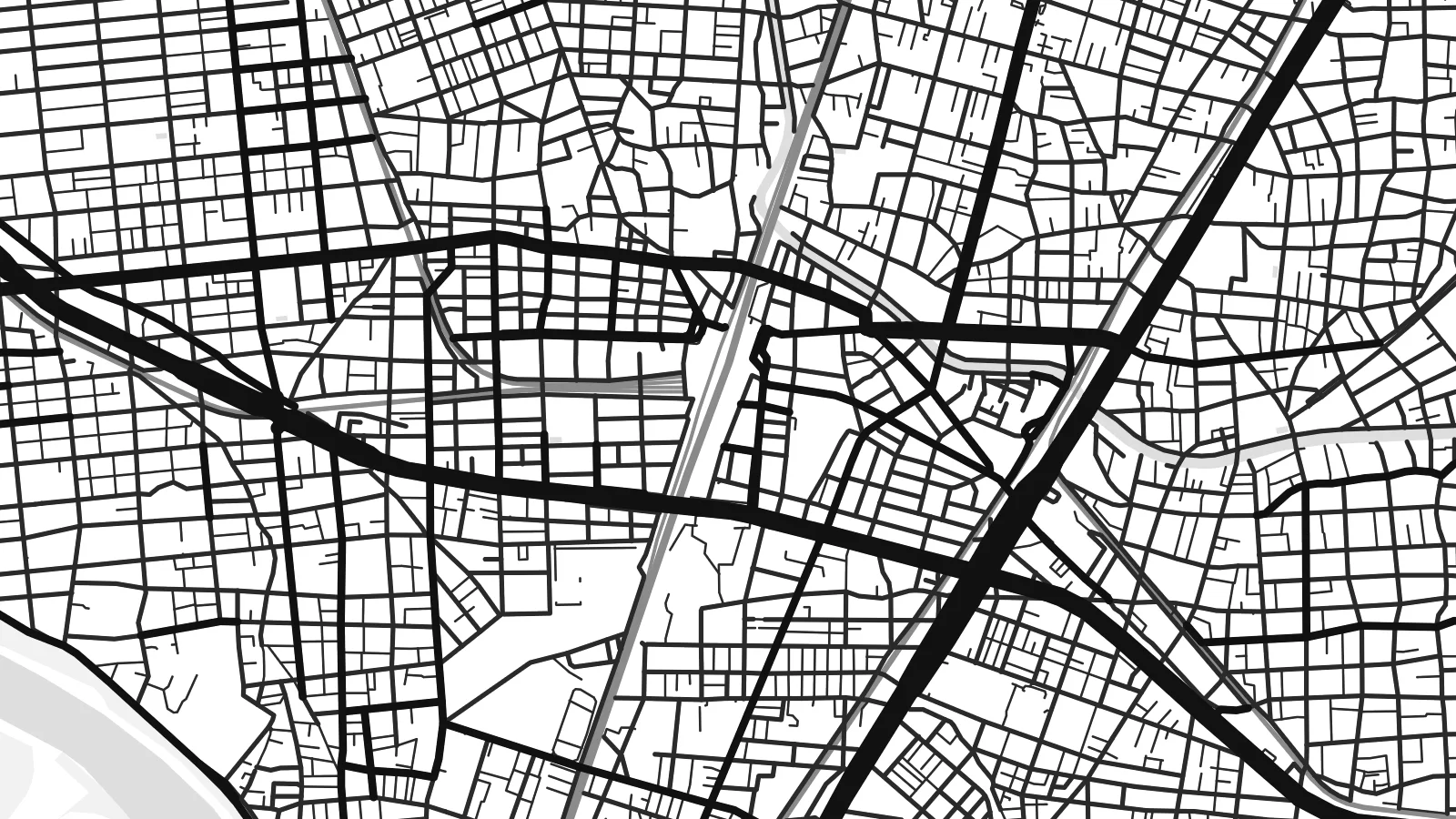 Aktwal na pixels · 24 × 36″ print file
Matalas sa print
Ito ay 100% crop ng aktwal na print file. Bawat poster — naka-print, naka-frame, o na-download — ay ginagawa sa aming mga server sa 300 DPI, hanggang 7,200 × 10,800 pixels, kaya malinaw pa rin ang pinakamaliliit na kalye kahit sa 24 × 36″ na print.
Sa dingding


Ang mapa
Ōta is the southernmost of Tokyo's special wards, lying on the western shore of Tokyo Bay. The Tama River forms its southern border with Kawasaki, and the bay forms its eastern edge. From above, the ward runs from quiet residential hills in the west to flat, dense districts in the centre and then to large blocks of reclaimed land along the water.
Haneda Airport, one of the busiest in the world, takes up much of Ōta's coastline, with runways reaching into the bay. The ward is also known for its many small factories and machine shops, where precision parts are made in family workshops. In the west, Den-en-chōfu was developed in the 1920s as a garden suburb with streets radiating from its station.
An Ōta map poster shows an unusually varied part of Tokyo. Dense grids of homes and workshops fill the centre, rail lines cut across the ward, and the curved streets of the western residential area contrast with the large, geometric shapes of the airport and industrial islands in the bay.
Haneda Airport sits on reclaimed land on the bay, and its long runways extend into the water. They are the boldest geometric shapes on the map.
The Tama River runs along Ōta's southern edge, separating Tokyo from Kawasaki. Its wide channel and riverside parks form a clear boundary.
Den-en-chōfu's streets fan out from the station in a semicircle, a planned pattern very different from the dense, irregular blocks elsewhere in the ward.
Gawin mong sa iyo
Magdagdag ng petsa, pangalan o sarili mong linya, at palitan ang estilo, sukat o oryentasyon.
Ang libreng preview ay low-resolution na may watermark. Ang mga print at HD files ay ginagawa sa 300 DPI, hanggang 7,200 × 10,800 px, walang watermark.
Bakit Ōta
For residents of Ōta, or anyone who has flown in and out of Haneda many times, the map is a detailed and personal view of Tokyo's southern edge. It suits a hallway or a small workspace.
Add your own title, subtitle and coordinates line to mark a neighbourhood, a move or an important date. Pick from Classic black & white, Noir, Paper, Blueprint and Sand.
I-order ang Ōta poster| Sukat ng print | Resolution | Mga file |
|---|---|---|
| 30 × 40 cm11.8 × 15.7″ | 3,543 × 4,724 px | PNG · PDF |
| 29.7 × 42 cm (A3)11.7 × 16.5″ | 3,508 × 4,961 px | PNG · PDF |
| 42 × 59.4 cm (A2)16.5 × 23.4″ | 4,961 × 7,016 px | PNG · PDF |
| 45.7 × 61 cm18 × 24″ | 5,400 × 7,200 px | PNG · PDF |
| 50 × 70 cm19.7 × 27.6″ | 5,906 × 8,268 px | PNG · PDF |
| 61 × 91.4 cm24 × 36″ | 7,200 × 10,800 px | PNG · PDF |
Bilang paghahambing, ang libreng preview ay 900 px ang lapad, may watermark at para lang sa screen. Ang HD files ay may hanggang 8× na resolution sa bawat direksyon at malinis na napi-print sa buong laki ng poster.
Pumili ng estilo sa itaas ng page, pagkatapos ay piliin ang Printed Poster — isang size at, kung gusto mo, isang frame — o Digital HD Files. Isang hakbang lang ang checkout, at agad na mag-a-update ang iyong order page kapag natapos na ang bayad.
Naka-print ito sa premium na 200 gsm matte paper sa isa sa anim na sizes, mula 30 × 40 cm hanggang 24 × 36″. Nagsisimula ang naka-print na poster sa $39, kasama na ang shipping.
Oo. Pumili ng solid wood frame sa itim, puti, natural oak, o dark wood. May kasamang shatterproof glazing at handa nang isabit. Nagsisimula ang naka-frame na poster sa $99, kasama na ang shipping.
Libre ang pagpapadala sa buong mundo. Bawat poster ay piniprint ng pinakamalapit sa aming mga print partner sa mahigit 30 bansa at karaniwang dumarating sa loob ng 3–7 araw ng negosyo. Masusubaybayan mo ang status at tracking sa Aking Mga Order. May ilang bansang aabutin ng 2–5 linggo, at kung hindi pa kami nagpapadala sa inyong bansa, sasabihin ito ng site bago ka magbayad.
Magpadala lang ng larawan sa loob ng 14 na araw mula sa paghahatid at ipapa-print namin ulit ito nang libre o irerefund ka namin.
Oo. Sa editor sa page na ito, baguhin ang title, subtitle, at coordinates line sa anumang gusto mo, at pumili ng estilo at size. Ginagamit ng naka-print, naka-frame, at digital na order ang eksaktong disenyo mo.
Para sa $9, makukuha mo ang 300 DPI PNG at print-ready PDF files sa lahat ng anim na sizes, walang watermark, para ma-print kahit saan. Hindi pa sigurado? Mag-download muna ng libreng preview na may watermark.
Malapit
