Rio de Contas
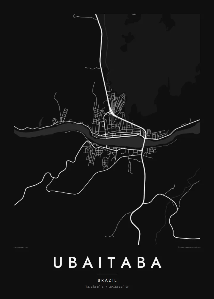
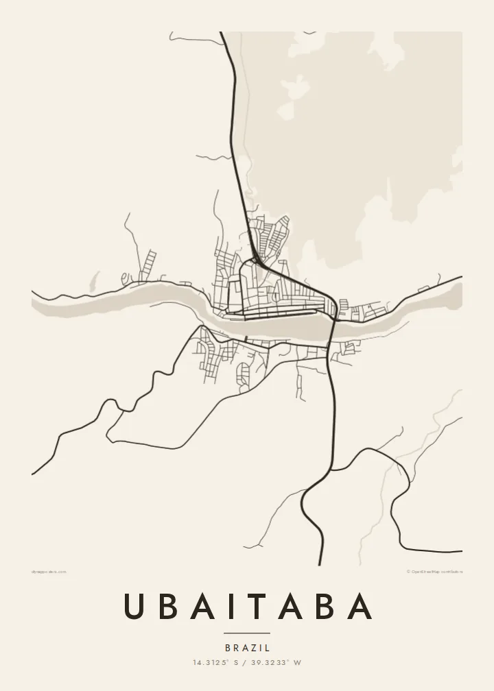
The river curves through the middle of the map. It sets the direction of the town's main streets and its outward growth.
Minimalist na map poster · Brazil
14.3125° S / 39.3233° W
A Bahian cocoa-country town strung along the Rio de Contas, its streets following the river's bends through green hills



Isang lungsod, limang mood
I-tap ang isang estilo para makita ito sa dingding. Pareho ang presyo ng bawat estilo — naka-print, naka-frame, o bilang HD files.
 Aktwal na pixels · 24 × 36″ print file
Matalas sa print
Ito ay 100% crop ng aktwal na print file. Bawat poster — naka-print, naka-frame, o na-download — ay ginagawa sa aming mga server sa 300 DPI, hanggang 7,200 × 10,800 pixels, kaya malinaw pa rin ang pinakamaliliit na kalye kahit sa 24 × 36″ na print.
Sa dingding


Ang mapa
Ubaitaba lies on the Rio de Contas in southern Bahia, in the cocoa-growing belt behind the coast. From above, the town follows the river rather than a planned grid. Its streets run along the banks and climb a short way into the surrounding hills, so the outline is long and irregular.
The Rio de Contas is one of the main rivers of Bahia, reaching the Atlantic further east at Itacaré. Ubaitaba grew up with the cocoa economy that shaped this whole region. The land around the town is rolling and heavily planted, with farm roads winding between low ridges.
A Ubaitaba map poster traces this river-bound shape: a ribbon of streets on either side of the water, and bridges stitching the two banks together. It is an organic, flowing composition, well suited to anyone with family ties to the cocoa coast of Bahia.
The river curves through the middle of the map. It sets the direction of the town's main streets and its outward growth.
Bridges join the two banks. On the poster they show as short strokes linking the built-up areas on each side.
Beyond the streets, winding rural roads trace the low hills of southern Bahia's cocoa region, where plantations cover much of the land.
Gawin mong sa iyo
Magdagdag ng petsa, pangalan o sarili mong linya, at palitan ang estilo, sukat o oryentasyon.
Ang libreng preview ay low-resolution na may watermark. Ang mga print at HD files ay ginagawa sa 300 DPI, hanggang 7,200 × 10,800 px, walang watermark.
Bakit Ubaitaba
The map suits anyone from southern Bahia who remembers the river at the centre of town life. The poster keeps the whole place in view: the water, the bridges and the streets that follow them.
Personalise it with a name, a date or coordinates, and choose one of five styles, including Paper and Sand for a warmer tone. The $9 download includes six sizes as print-ready PDF and 300 DPI PNG files, with no watermark.
I-order ang Ubaitaba poster| Sukat ng print | Resolution | Mga file |
|---|---|---|
| 30 × 40 cm11.8 × 15.7″ | 3,543 × 4,724 px | PNG · PDF |
| 29.7 × 42 cm (A3)11.7 × 16.5″ | 3,508 × 4,961 px | PNG · PDF |
| 42 × 59.4 cm (A2)16.5 × 23.4″ | 4,961 × 7,016 px | PNG · PDF |
| 45.7 × 61 cm18 × 24″ | 5,400 × 7,200 px | PNG · PDF |
| 50 × 70 cm19.7 × 27.6″ | 5,906 × 8,268 px | PNG · PDF |
| 61 × 91.4 cm24 × 36″ | 7,200 × 10,800 px | PNG · PDF |
Bilang paghahambing, ang libreng preview ay 900 px ang lapad, may watermark at para lang sa screen. Ang HD files ay may hanggang 8× na resolution sa bawat direksyon at malinis na napi-print sa buong laki ng poster.
Pumili ng estilo sa itaas ng page, pagkatapos ay piliin ang Printed Poster — isang size at, kung gusto mo, isang frame — o Digital HD Files. Isang hakbang lang ang checkout, at agad na mag-a-update ang iyong order page kapag natapos na ang bayad.
Naka-print ito sa premium na 200 gsm matte paper sa isa sa anim na sizes, mula 30 × 40 cm hanggang 24 × 36″. Nagsisimula ang naka-print na poster sa $39, kasama na ang shipping.
Oo. Pumili ng solid wood frame sa itim, puti, natural oak, o dark wood. May kasamang shatterproof glazing at handa nang isabit. Nagsisimula ang naka-frame na poster sa $99, kasama na ang shipping.
Libre ang shipping sa 60+ bansa. Ipi-print ang bawat poster ng pinakamalapit sa aming mga print partner sa 30+ bansa, at karaniwang dumarating ito sa loob ng 3–7 araw ng negosyo. Masusundan mo ang status at tracking sa Aking Mga Order. Ang ilang bansa ay inaabot ng 2–5 linggo, at kung hindi pa kami nagpapadala sa inyo, sasabihin ito ng site bago ka magbayad.
Magpadala lang ng larawan sa loob ng 14 na araw mula sa paghahatid at ipapa-print namin ulit ito nang libre o irerefund ka namin.
Oo. Sa editor sa page na ito, baguhin ang title, subtitle, at coordinates line sa anumang gusto mo, at pumili ng estilo at size. Ginagamit ng naka-print, naka-frame, at digital na order ang eksaktong disenyo mo.
Para sa $9, makukuha mo ang 300 DPI PNG at print-ready PDF files sa lahat ng anim na sizes, walang watermark, para ma-print kahit saan. Hindi pa sigurado? Mag-download muna ng libreng preview na may watermark.
Malapit
