BR-116 and Trensurb
Highway and commuter rail run side by side through the city, a single strong vertical that divides Canoas into eastern and western halves.
Minimalistički poster s kartom · Brazil
29.9178° S / 51.1836° W
A flat river-plain city north of Porto Alegre, split by a highway and hemmed in by two rivers.


Jedan grad, pet ugođaja
Dodirnite stil da ga vidite na zidu. Svi stilovi koštaju isto — tiskani, uokvireni ili kao HD datoteke.
 Stvarni pikseli · print datoteka 24 × 36″
Oštro za tisak
Ovo je 100% izrezak stvarne print datoteke. Svaki poster — tiskani, uokvireni ili preuzet — renderira se na našim serverima u 300 DPI, do 7,200 × 10,800 piksela, tako da čak i najsitnije linije ostanu oštre na ispisu 24 × 36″.
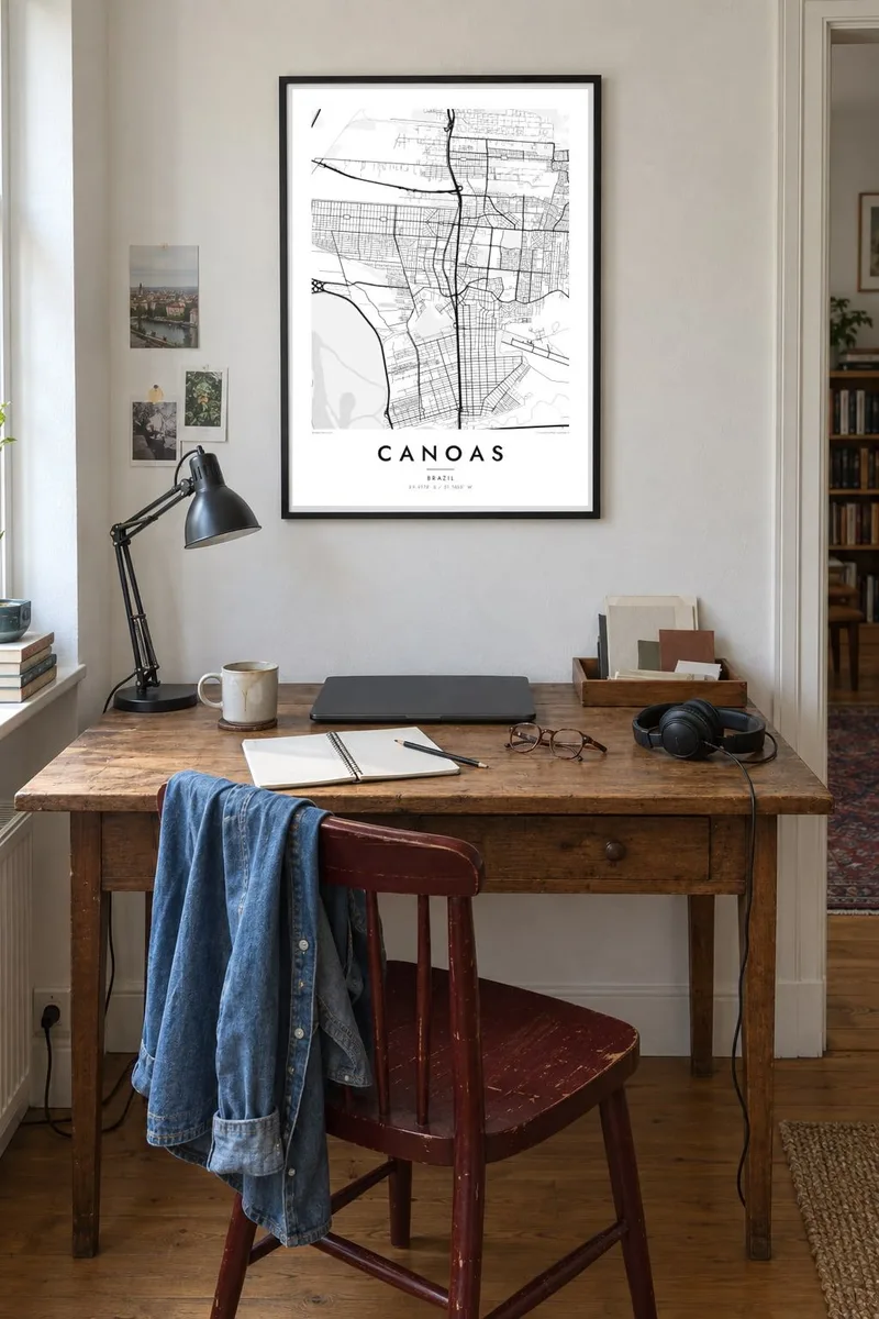
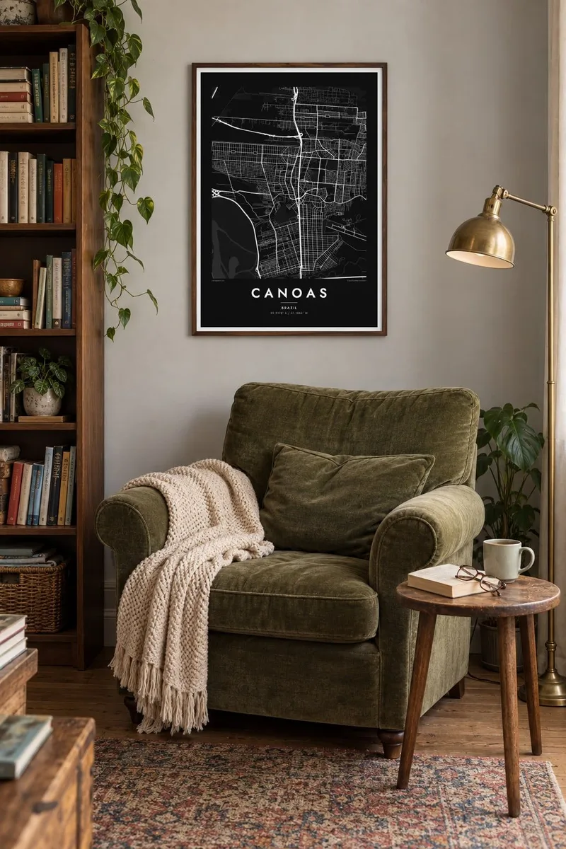
Na zidu

Karta
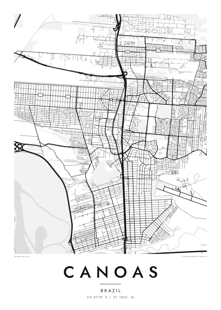
Canoas sits directly north of Porto Alegre in Rio Grande do Sul, and on a map the two cities almost merge. The key organising line is the BR-116 highway, which runs north to south through the middle of town with the Trensurb commuter rail beside it. Streets branch off this double spine into neighbourhoods of fairly regular blocks on either side.
The terrain is low and level. The Gravataí River bends along the southern edge and the Rio dos Sinos passes to the north, with the broad Guaíba waters not far to the west. Much of the western side lies close to river level, which is why the city was so badly affected in the 2024 Rio Grande do Sul floods, especially in the Mathias Velho district.
A Canoas map poster makes that geography easy to read: the straight transport corridor, the pale wetlands and levee lines, and the large open rectangle of the air force base that interrupts the street grid. It is a map of a working city shaped by roads, rail and water rather than by hills or an old centre.
Highway and commuter rail run side by side through the city, a single strong vertical that divides Canoas into eastern and western halves.
The Canoas air force base occupies a large open block in the urban fabric, a blank space with a runway that stands out clearly in monochrome.
The Gravataí and Sinos rivers and their floodplains surround the city, drawing soft, winding edges around the otherwise orderly street pattern.
Prilagodite ga sebi
Dodajte datum, ime ili vlastiti redak teksta, promijenite stil, veličinu ili orijentaciju.
Besplatni pregled je niske rezolucije s vodenim žigom. Tiskani posteri i HD datoteke renderiraju se u 300 DPI, do 7,200 × 10,800 px, bez vodenog žiga.
Zašto Canoas
For many families in Canoas, the map carries weight after the floods: a record of the streets and neighbourhoods as they are. Others simply want the place where they grew up, studied or started work, drawn cleanly and without clutter.
Add a personal title, subtitle and coordinates line, then choose from Classic black & white, Noir, Paper, Blueprint or Sand. The $9 digital files cover six print sizes, and printed posters ship from partners in more than 30 countries.
Naručite poster Canoas| Veličina otiska | Rezolucija | Datoteke |
|---|---|---|
| 30 × 40 cm (11.8 × 15.7″) | 3,543 × 4,724 px | PNG · PDF |
| 29.7 × 42 cm (A3, 11.7 × 16.5″) | 3,508 × 4,961 px | PNG · PDF |
| 42 × 59.4 cm (A2, 16.5 × 23.4″) | 4,961 × 7,016 px | PNG · PDF |
| 45.7 × 61 cm (18 × 24″) | 5,400 × 7,200 px | PNG · PDF |
| 50 × 70 cm (19.7 × 27.6″) | 5,906 × 8,268 px | PNG · PDF |
| 61 × 91.4 cm (24 × 36″) | 7,200 × 10,800 px | PNG · PDF |
Za usporedbu, besplatni pregled širok je 900 px, ima vodeni žig i namijenjen je zaslonima. HD datoteke imaju do 8× veću rezoluciju u svakom smjeru i čisto se tiskaju u punoj veličini postera.
Odaberite stil na vrhu stranice, a zatim Tiskani poster — veličinu i, ako želite, okvir — ili Digitalne HD datoteke. Naplata traje samo jedan korak, a stranica vaše narudžbe ažurira se čim plaćanje prođe.
Tiska se na premium mat papiru 200 g/m² u jednoj od šest veličina, od 30 × 40 cm do 24 × 36″. Tiskani posteri kreću od {printFrom}, dostava uključena.
Da. Odaberite okvir od masivnog drveta u crnoj, bijeloj, prirodnoj hrastovoj ili tamnoj boji drveta. Dolazi sa staklom otpornim na lom i spreman je za vješanje. Uokvireni posteri kreću od {framedFrom}, dostava uključena.
Dostava je besplatna diljem svijeta. Svaki poster tiska najbliži od naših tiskarskih partnera u više od 30 zemalja i obično stiže za 3–7 radnih dana. Status i praćenje možete pratiti u Moje narudžbe.
Pošaljite nam fotografiju u roku od 14 dana od dostave i besplatno ćemo ga ponovno tiskati ili vratiti novac.
Da. U uređivaču na ovoj stranici promijenite naslov, podnaslov i redak s koordinatama u što god želite, te odaberite stil i veličinu. Tiskane, uokvirene i digitalne narudžbe koriste točno vaš dizajn.
Za $9 dobivate 300 DPI PNG i PDF datoteke spremne za tisak u svih šest veličina, bez vodenog žiga, za ispis bilo gdje. Niste sigurni? Prvo preuzmite besplatan pregled s vodenim žigom.
