The curled tip
Provincetown sits inside the final hook of sand, its streets following the harbour in a long, thin strip with dunes behind them.
Minimalistički poster s kartom · Sjedinjene Američke Države
41.7987° N / 70.3085° W
A peninsula bent like a flexed arm, curling north to a sandy hook at Provincetown and cut from the mainland by a canal


Jedan grad, pet ugođaja
Dodirnite stil da ga vidite na zidu. Svi stilovi koštaju isto — tiskani, uokvireni ili kao HD datoteke.
 Stvarni pikseli · print datoteka 24 × 36″
Oštro za tisak
Ovo je 100% izrezak stvarne print datoteke. Svaki poster — tiskani, uokvireni ili preuzet — renderira se na našim serverima u 300 DPI, do 7,200 × 10,800 piksela, tako da čak i najsitnije linije ostanu oštre na ispisu 24 × 36″.
Na zidu
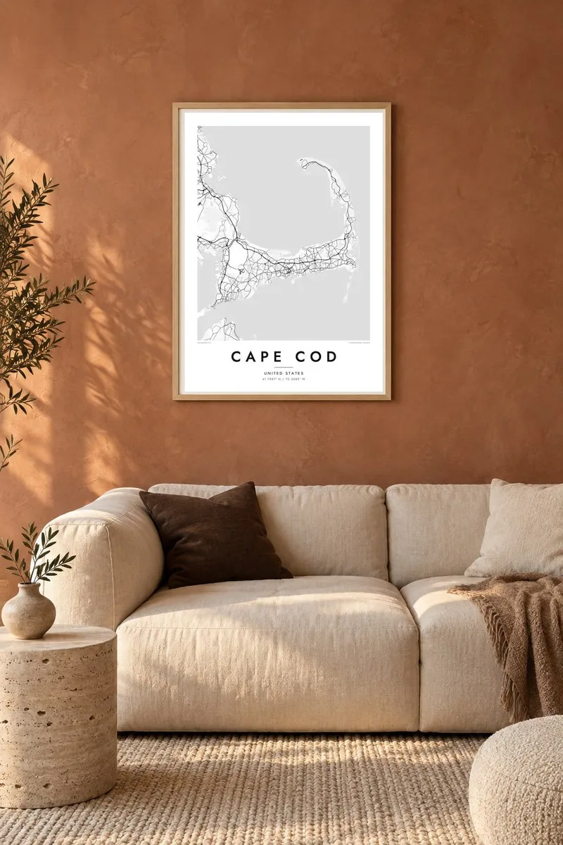
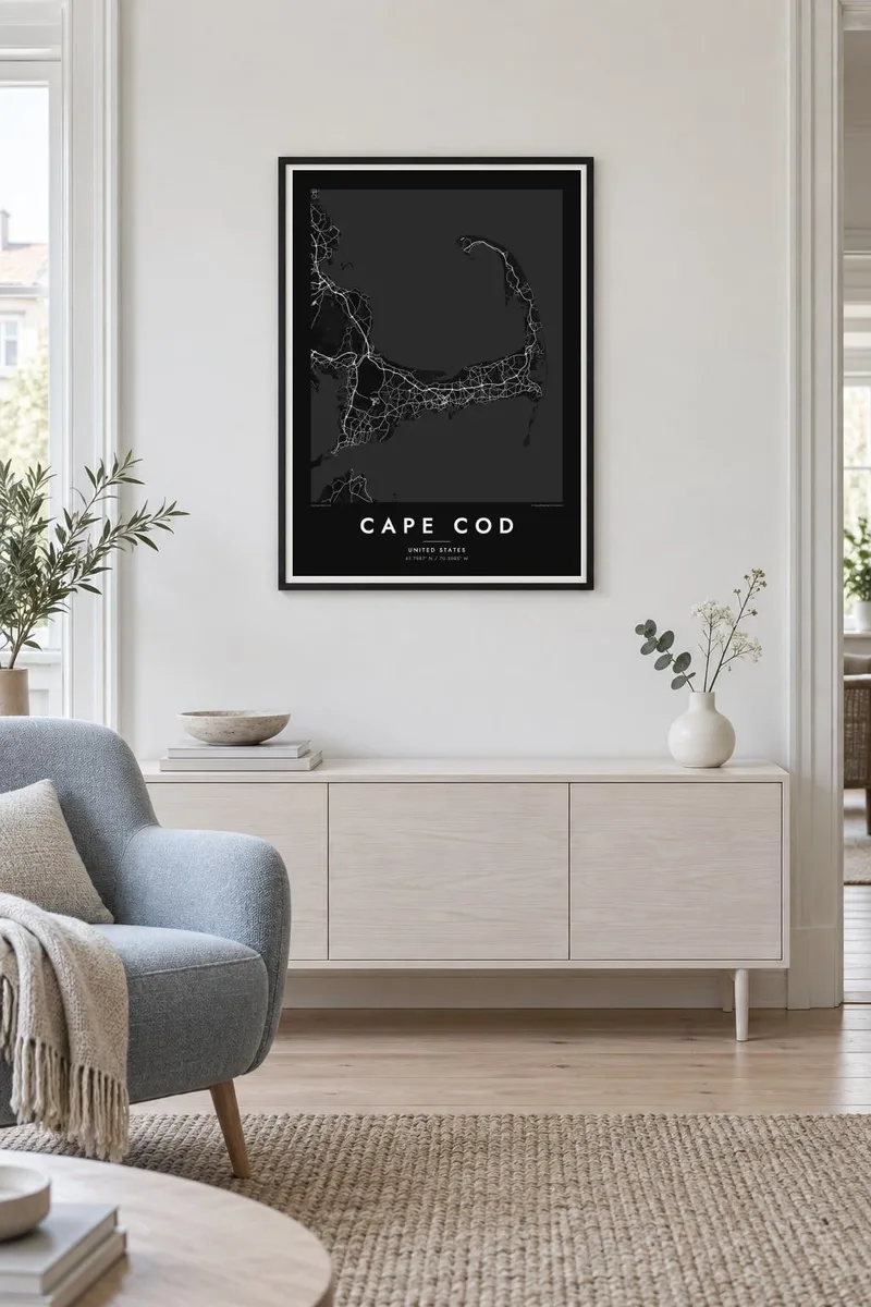
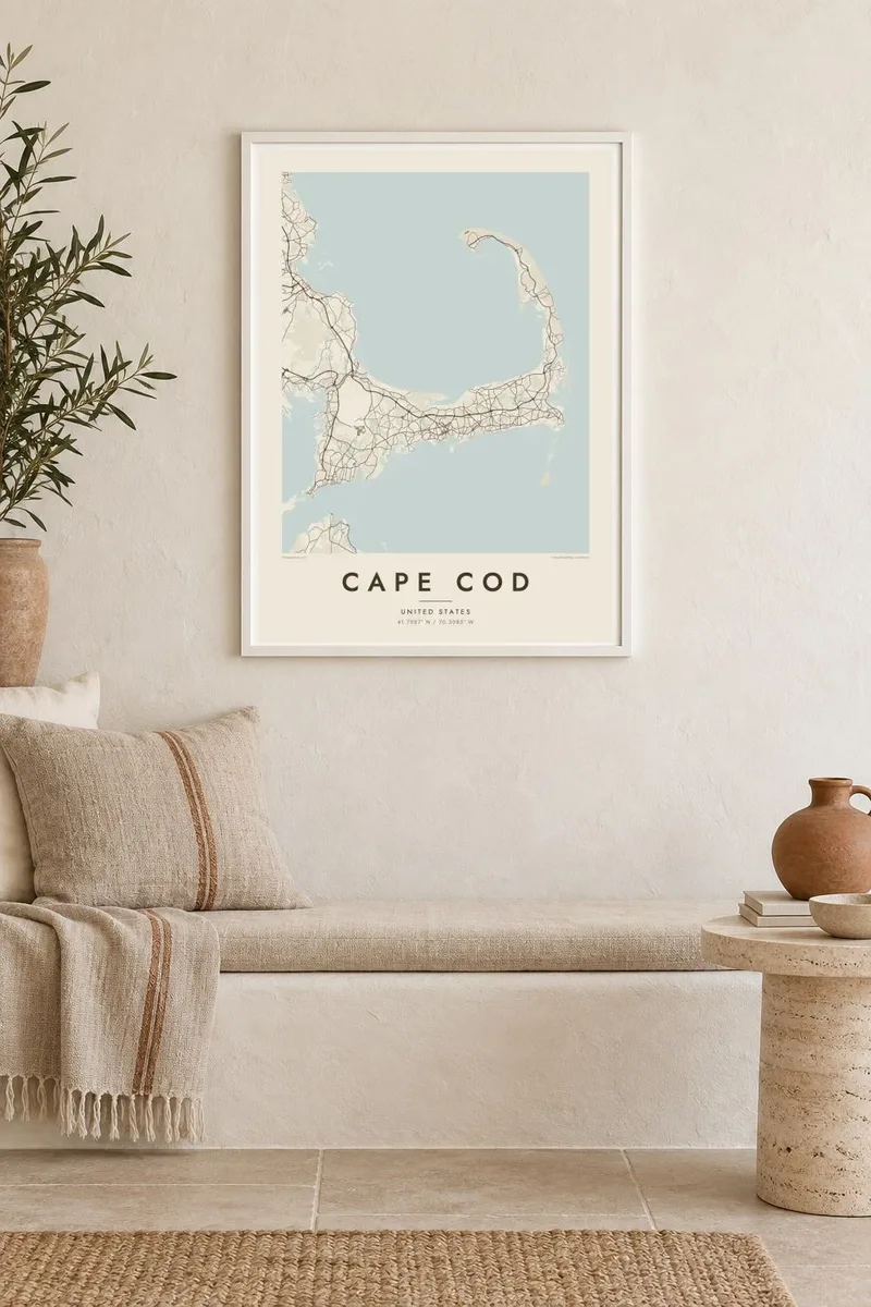
Karta
Cape Cod reaches into the Atlantic from southeastern Massachusetts, and its outline is one of the most recognisable on the American coast. The land runs east from the mainland, turns north at the elbow near Chatham and ends in a curled fist of dunes around Provincetown. The inner curve encloses Cape Cod Bay, while the outer shore faces the open ocean.
The Pilgrims first anchored in Provincetown Harbor in 1620 and signed the Mayflower Compact there before sailing on to Plymouth. The Cape Cod Canal opened across the base of the peninsula in 1914, and today two high bridges, the Bourne and the Sagamore, carry traffic over it. Much of the outer shore is protected as the Cape Cod National Seashore.
A Cape Cod map poster shows land dotted with ponds, many of them kettle ponds left behind by retreating glaciers, along with harbours, salt marshes and long barrier beaches. Route 6 runs the length of the Cape as its main spine, and the village centres on both shores appear as small street networks among winding lanes and inlets.
Provincetown sits inside the final hook of sand, its streets following the harbour in a long, thin strip with dunes behind them.
A straight channel cuts across the base of the peninsula, crossed by the Bourne and Sagamore bridges, visibly separating the Cape from the mainland.
Hundreds of small, rounded ponds are scattered across the interior, giving the land a speckled texture unlike any other stretch of the New England coast.
Prilagodite ga sebi
Dodajte datum, ime ili vlastiti redak teksta, promijenite stil, veličinu ili orijentaciju.
Besplatni pregled je niske rezolucije s vodenim žigom. Tiskani posteri i HD datoteke renderiraju se u 300 DPI, do 7,200 × 10,800 px, bez vodenog žiga.
Zašto Cape Cod
For families with a summer cottage, a favourite beach or a long history of trips over the Sagamore Bridge, the whole Cape in one frame makes a natural keepsake. Personalise the title with a town or family name, and use the subtitle for a year or a date.
Pick from Classic black & white, Noir, Paper, Blueprint and Sand. A free 900 px watermarked preview shows the composition before you buy, and printed posters on matte paper can be ordered with a wooden frame from partners in more than 30 countries.
Naručite poster Cape Cod| Veličina otiska | Rezolucija | Datoteke |
|---|---|---|
| 30 × 40 cm (11.8 × 15.7″) | 3,543 × 4,724 px | PNG · PDF |
| 29.7 × 42 cm (A3, 11.7 × 16.5″) | 3,508 × 4,961 px | PNG · PDF |
| 42 × 59.4 cm (A2, 16.5 × 23.4″) | 4,961 × 7,016 px | PNG · PDF |
| 45.7 × 61 cm (18 × 24″) | 5,400 × 7,200 px | PNG · PDF |
| 50 × 70 cm (19.7 × 27.6″) | 5,906 × 8,268 px | PNG · PDF |
| 61 × 91.4 cm (24 × 36″) | 7,200 × 10,800 px | PNG · PDF |
Za usporedbu, besplatni pregled širok je 900 px, ima vodeni žig i namijenjen je zaslonima. HD datoteke imaju do 8× veću rezoluciju u svakom smjeru i čisto se tiskaju u punoj veličini postera.
Odaberite stil na vrhu stranice, a zatim Tiskani poster — veličinu i, ako želite, okvir — ili Digitalne HD datoteke. Naplata traje samo jedan korak, a stranica vaše narudžbe ažurira se čim plaćanje prođe.
Tiska se na premium mat papiru 200 g/m² u jednoj od šest veličina, od 30 × 40 cm do 24 × 36″. Tiskani posteri kreću od {printFrom}, dostava uključena.
Da. Odaberite okvir od masivnog drveta u crnoj, bijeloj, prirodnoj hrastovoj ili tamnoj boji drveta. Dolazi sa staklom otpornim na lom i spreman je za vješanje. Uokvireni posteri kreću od {framedFrom}, dostava uključena.
Dostava je besplatna diljem svijeta. Svaki poster tiska najbliži od naših tiskarskih partnera u više od 30 zemalja i obično stiže za 3–7 radnih dana. Status i praćenje možete pratiti u Moje narudžbe.
Pošaljite nam fotografiju u roku od 14 dana od dostave i besplatno ćemo ga ponovno tiskati ili vratiti novac.
Da. U uređivaču na ovoj stranici promijenite naslov, podnaslov i redak s koordinatama u što god želite, te odaberite stil i veličinu. Tiskane, uokvirene i digitalne narudžbe koriste točno vaš dizajn.
Za $9 dobivate 300 DPI PNG i PDF datoteke spremne za tisak u svih šest veličina, bez vodenog žiga, za ispis bilo gdje. Niste sigurni? Prvo preuzmite besplatan pregled s vodenim žigom.
U blizini
