Republic quarters
Each quarter was designed by a different Soviet republic and named after its capital. On the map, they appear as separate clusters, each with a distinct layout.
Minimalistički poster s kartom · Ukrajina
51.5225° N / 30.7181° E
A planned 1980s town in a pine forest by the Dnieper, laid out in quarters designed by different Soviet republics




Jedan grad, pet ugođaja
Dodirnite stil da ga vidite na zidu. Svi stilovi koštaju isto — tiskani, uokvireni ili kao HD datoteke.
 Stvarni pikseli · print datoteka 24 × 36″
Oštro za tisak
Ovo je 100% izrezak stvarne print datoteke. Svaki poster — tiskani, uokvireni ili preuzet — renderira se na našim serverima u 300 DPI, do 7,200 × 10,800 piksela, tako da čak i najsitnije linije ostanu oštre na ispisu 24 × 36″.
Na zidu


Karta
Slavutych was built after the 1986 Chernobyl disaster to house workers of the nuclear plant, who had to leave Pripyat. From above, it is one of the most deliberately planned towns in Europe. Distinct neighbourhoods surround a central square and park, the whole town sits within pine forest, and a railway line links it to the plant.
Its quarters were designed and built by teams from different Soviet republics and carry the names of their capitals, such as Kyiv, Tbilisi, Vilnius and Riga. Each has its own architectural style. The town lies on the left bank of the Dnieper, and although it is part of Kyiv Oblast, the land around it borders Chernihiv Oblast.
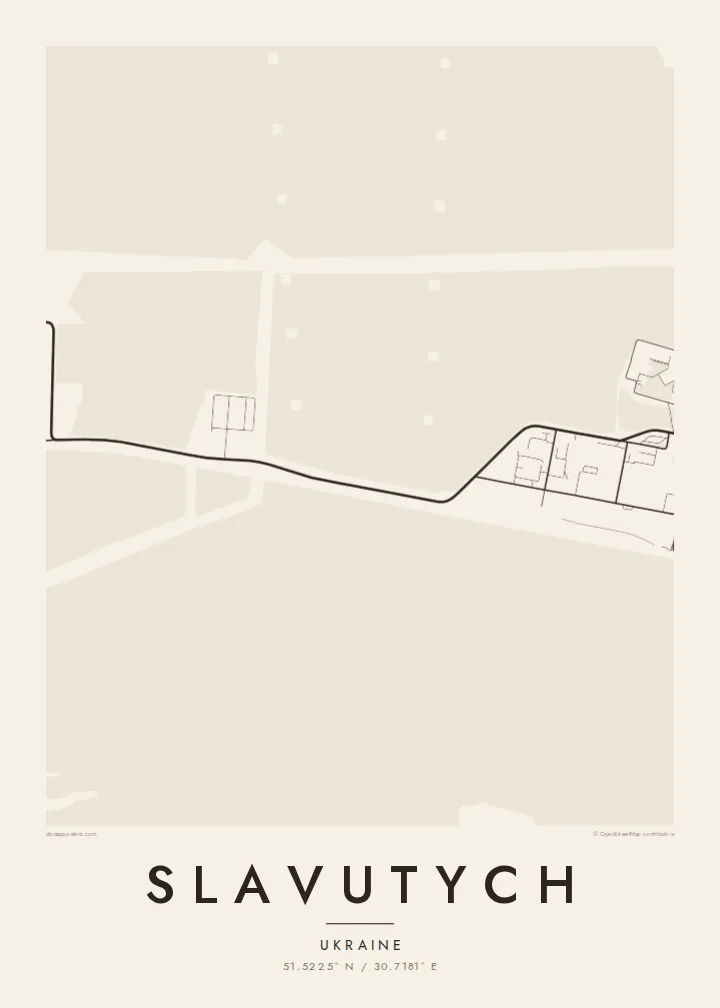
A Slavutych map poster shows how clearly this planning survives. The separate quarters form distinct clusters, each with its own street pattern, joined by green belts and wide avenues. In black and white, the surrounding forest becomes a calm field that frames the town. It is an unusual and meaningful map for anyone connected to Chernobyl's story.
Each quarter was designed by a different Soviet republic and named after its capital. On the map, they appear as separate clusters, each with a distinct layout.
The quarters are arranged around a central square and park, giving the town a clear heart. That is rare for a place so recently built.
Pine forest surrounds the whole town and leaves a wide margin between buildings and open country. The town appears as a compact island within that green belt.
Prilagodite ga sebi
Dodajte datum, ime ili vlastiti redak teksta, promijenite stil, veličinu ili orijentaciju.
Besplatni pregled je niske rezolucije s vodenim žigom. Tiskani posteri i HD datoteke renderiraju se u 300 DPI, do 7,200 × 10,800 px, bez vodenog žiga.
Zašto Slavutych
Slavutych is home to many former Chernobyl plant workers and their families, and for them the town's shape carries real weight. The map also interests people who study Soviet urban planning or the history of 1986.
You can personalise the title, subtitle and coordinates line, and choose Classic black & white, Noir, Paper, Blueprint or Sand. Blueprint suits a town that began as a plan. The files arrive as 300 DPI PNG and print-ready PDF in six sizes.
Naručite poster Slavutych| Veličina otiska | Rezolucija | Datoteke |
|---|---|---|
| 30 × 40 cm11.8 × 15.7″ | 3,543 × 4,724 px | PNG · PDF |
| 29.7 × 42 cm (A3)11.7 × 16.5″ | 3,508 × 4,961 px | PNG · PDF |
| 42 × 59.4 cm (A2)16.5 × 23.4″ | 4,961 × 7,016 px | PNG · PDF |
| 45.7 × 61 cm18 × 24″ | 5,400 × 7,200 px | PNG · PDF |
| 50 × 70 cm19.7 × 27.6″ | 5,906 × 8,268 px | PNG · PDF |
| 61 × 91.4 cm24 × 36″ | 7,200 × 10,800 px | PNG · PDF |
Za usporedbu, besplatni pregled širok je 900 px, ima vodeni žig i namijenjen je zaslonima. HD datoteke imaju do 8× veću rezoluciju u svakom smjeru i čisto se tiskaju u punoj veličini postera.
Odaberite stil na vrhu stranice, a zatim Tiskani poster — veličinu i, ako želite, okvir — ili Digitalne HD datoteke. Naplata traje samo jedan korak, a stranica vaše narudžbe ažurira se čim plaćanje prođe.
Tiska se na premium mat papiru 200 g/m² u jednoj od šest veličina, od 30 × 40 cm do 24 × 36″. Tiskani posteri kreću od $39, dostava uključena.
Da. Odaberite okvir od masivnog drveta u crnoj, bijeloj, prirodnoj hrastovoj ili tamnoj boji drveta. Dolazi sa staklom otpornim na lom i spreman je za vješanje. Uokvireni posteri kreću od $99, dostava uključena.
Dostava je besplatna u 60+ zemalja. Svaki poster tiska najbliži od naših partnera za tisak u 30+ zemalja, a obično stiže za 3–7 radnih dana. Status i praćenje pošiljke možete pratiti u odjeljku Moje narudžbe. Za nekoliko zemalja dostava traje 2–5 tjedana, a ako još ne dostavljamo u vašu zemlju, stranica će vas na to upozoriti prije plaćanja.
Pošaljite nam fotografiju u roku od 14 dana od dostave i besplatno ćemo ga ponovno tiskati ili vratiti novac.
Da. U uređivaču na ovoj stranici promijenite naslov, podnaslov i redak s koordinatama u što god želite, te odaberite stil i veličinu. Tiskane, uokvirene i digitalne narudžbe koriste točno vaš dizajn.
Za $9 dobivate 300 DPI PNG i PDF datoteke spremne za tisak u svih šest veličina, bez vodenog žiga, za ispis bilo gdje. Niste sigurni? Prvo preuzmite besplatan pregled s vodenim žigom.
U blizini
