Bečva valley
The Vsetínská Bečva flows through the town and sets its long, narrow form. Streets and railway follow the river closely, giving the map a strong linear direction.
Minimalistički poster s kartom · Češka
49.3387° N / 17.9962° E
A Wallachian town strung along the Bečva valley, closed in by the forested ridges of the Vsetín Hills and the Javorníky


Jedan grad, pet ugođaja
Dodirnite stil da ga vidite na zidu. Svi stilovi koštaju isto — tiskani, uokvireni ili kao HD datoteke.
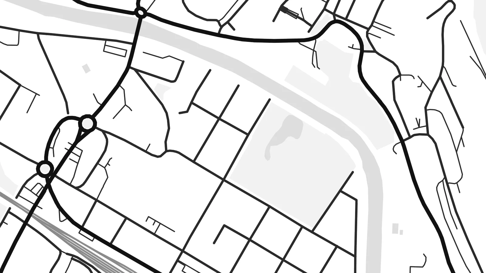 Stvarni pikseli · print datoteka 24 × 36″
Oštro za tisak
Ovo je 100% izrezak stvarne print datoteke. Svaki poster — tiskani, uokvireni ili preuzet — renderira se na našim serverima u 300 DPI, do 7,200 × 10,800 piksela, tako da čak i najsitnije linije ostanu oštre na ispisu 24 × 36″.
Na zidu


Karta
Vsetín is the main town of Moravian Wallachia in the east of the Czech Republic, set in the narrow valley of the Vsetínská Bečva river. Hills close in on both sides, and the map shows the result. The town is long and linear, following the river, with streets squeezed between the water and the slopes and side valleys branching off into the forest.
The historic centre lies by the river, with a castle on a rise overlooking the old town square. Newer districts spread along the valley floor and climb the lower slopes, where twentieth-century housing estates appear as regular blocks on the map. Bridges link the two banks, and the railway follows the river through the valley.
The Vsetín Hills and the Javorníky range surround the town, which is known for its Wallachian folk traditions. A Vsetín map poster captures the balance between the busy valley and the quiet, forested hills around it. The town's shape comes as much from the terrain as from planning.
The Vsetínská Bečva flows through the town and sets its long, narrow form. Streets and railway follow the river closely, giving the map a strong linear direction.
A castle stands on a rise above the old town square, overlooking the valley. It anchors the historic centre and gives the map a clear point of reference.
Wooded hills rise on both sides of the valley and leave little room for building. On the poster, they become calm open areas framing the dense town.
Prilagodite ga sebi
Dodajte datum, ime ili vlastiti redak teksta, promijenite stil, veličinu ili orijentaciju.
Besplatni pregled je niske rezolucije s vodenim žigom. Tiskani posteri i HD datoteke renderiraju se u 300 DPI, do 7,200 × 10,800 px, bez vodenog žiga.
Zašto Vsetín
For people from Vsetín and the Wallachian hills, a map of the town recalls river walks, snowy winters and the forest paths above the valley. It is a thoughtful gift for someone who has moved to Prague, Brno or abroad and wants a piece of home on the wall.
You can add a title, subtitle and date, adjust the coordinates line and choose Classic black & white, Noir, Paper, Blueprint or Sand. Printed posters on matte paper ship from partners in more than 30 countries, and the $9 digital files come in six sizes.
Naručite poster Vsetín| Veličina otiska | Rezolucija | Datoteke |
|---|---|---|
| 30 × 40 cm11.8 × 15.7″ | 3,543 × 4,724 px | PNG · PDF |
| 29.7 × 42 cm (A3)11.7 × 16.5″ | 3,508 × 4,961 px | PNG · PDF |
| 42 × 59.4 cm (A2)16.5 × 23.4″ | 4,961 × 7,016 px | PNG · PDF |
| 45.7 × 61 cm18 × 24″ | 5,400 × 7,200 px | PNG · PDF |
| 50 × 70 cm19.7 × 27.6″ | 5,906 × 8,268 px | PNG · PDF |
| 61 × 91.4 cm24 × 36″ | 7,200 × 10,800 px | PNG · PDF |
Za usporedbu, besplatni pregled širok je 900 px, ima vodeni žig i namijenjen je zaslonima. HD datoteke imaju do 8× veću rezoluciju u svakom smjeru i čisto se tiskaju u punoj veličini postera.
Odaberite stil na vrhu stranice, a zatim Tiskani poster — veličinu i, ako želite, okvir — ili Digitalne HD datoteke. Naplata traje samo jedan korak, a stranica vaše narudžbe ažurira se čim plaćanje prođe.
Tiska se na premium mat papiru 200 g/m² u jednoj od šest veličina, od 30 × 40 cm do 24 × 36″. Tiskani posteri kreću od $39, dostava uključena.
Da. Odaberite okvir od masivnog drveta u crnoj, bijeloj, prirodnoj hrastovoj ili tamnoj boji drveta. Dolazi sa staklom otpornim na lom i spreman je za vješanje. Uokvireni posteri kreću od $99, dostava uključena.
Dostava je besplatna u 60+ zemalja. Svaki poster tiska najbliži od naših partnera za tisak u 30+ zemalja, a obično stiže za 3–7 radnih dana. Status i praćenje pošiljke možete pratiti u odjeljku Moje narudžbe. Za nekoliko zemalja dostava traje 2–5 tjedana, a ako još ne dostavljamo u vašu zemlju, stranica će vas na to upozoriti prije plaćanja.
Pošaljite nam fotografiju u roku od 14 dana od dostave i besplatno ćemo ga ponovno tiskati ili vratiti novac.
Da. U uređivaču na ovoj stranici promijenite naslov, podnaslov i redak s koordinatama u što god želite, te odaberite stil i veličinu. Tiskane, uokvirene i digitalne narudžbe koriste točno vaš dizajn.
Za $9 dobivate 300 DPI PNG i PDF datoteke spremne za tisak u svih šest veličina, bez vodenog žiga, za ispis bilo gdje. Niste sigurni? Prvo preuzmite besplatan pregled s vodenim žigom.
U blizini
