Dense town core
Lanes and small roads gather tightly at the centre, where the older market streets form the busiest and most intricate part of the map.
Minimalista térképposzter · India
27.1629° N / 81.5418° E
A small town on the level Gangetic plain of Bahraich district, its lanes surrounded by fields, ponds and village roads.



Egy város, öt hangulat
Koppints egy stílusra, hogy lásd a falon. Minden stílus ugyanannyiba kerül — nyomtatva, kerettel vagy HD fájlként.
 Valódi pixelek · 24 × 36″ nyomtatási fájl
Nyomtatásban is éles
Ez a valódi nyomtatási fájl 100%-os kivágata. Minden poszter — nyomtatva, kerettel vagy letöltve — szervereinken 300 DPI-vel, akár 7,200 × 10,800 pixel felbontásban készül, így a legkisebb utcák is élesek maradnak egy 24 × 36″-os nyomaton is.
A falon


A térkép
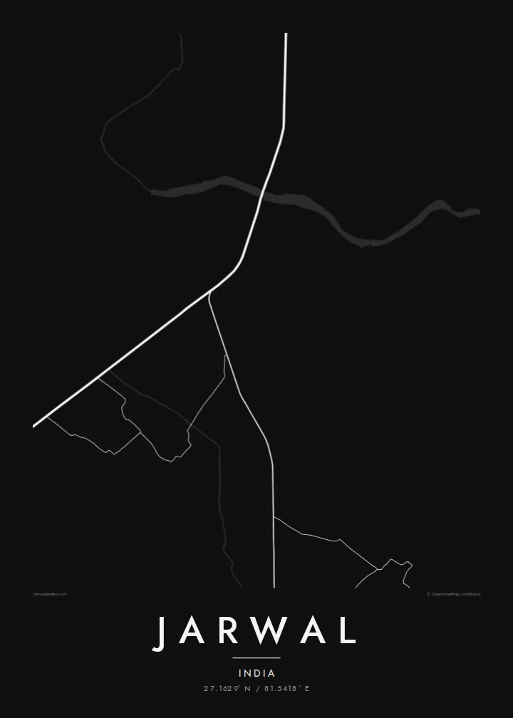
Jarwal lies in the Bahraich district of Uttar Pradesh, in the wide alluvial country north of the Ganges where the land is almost perfectly flat. On a map the town appears as a dense knot of streets set within an open expanse of agricultural fields, crossed by roads linking it to nearby villages and markets.
The town's layout has grown organically, with narrow lanes branching from a few main roads and clustering around the older market streets. Ponds and small tanks are common across this landscape and show up as rounded shapes among the fields, giving the surrounding map a scattered, gentle texture against the thicker weave of the town centre.
A Jarwal map poster is most meaningful to people with a direct connection to the town, whether they live there now or keep family ties from a distance. Printed in simple black and white, it records a place that rarely appears on souvenirs, giving the streets of home the same careful treatment usually reserved for large cities.
Lanes and small roads gather tightly at the centre, where the older market streets form the busiest and most intricate part of the map.
Farmland extends in every direction, divided by field boundaries and tracks, typical of the fertile river plains that cover much of northern Uttar Pradesh.
Several roads lead outward toward neighbouring villages and the district network, giving the composition strong lines that carry the eye from the centre to the edges.
Tedd a sajátoddá
Adj hozzá dátumot, nevet vagy saját szöveget, válts stílust, méretet vagy tájolást.
Az ingyenes előnézet alacsony felbontású és vízjeles. A nyomatok és a HD fájlok 300 DPI-vel, akár 7,200 × 10,800 px felbontásban készülnek, vízjel nélkül.
Miért Jarwal?
Many people from small towns in Uttar Pradesh now live in other cities or abroad, and a map of Jarwal is a quiet way to keep home on the wall. It is personal without being a photograph, which makes it easy to live with.
The title, subtitle and coordinates line are yours to edit, so the poster can carry a family name or a special year. Pick from five styles, download the HD files for $9, or order a matte print from a partner in one of 30+ countries.
Jarwal poszter megrendelése| Nyomtatási méret | Felbontás | Fájlok |
|---|---|---|
| 30 × 40 cm (11.8 × 15.7″) | 3,543 × 4,724 px | PNG · PDF |
| 29.7 × 42 cm (A3, 11.7 × 16.5″) | 3,508 × 4,961 px | PNG · PDF |
| 42 × 59.4 cm (A2, 16.5 × 23.4″) | 4,961 × 7,016 px | PNG · PDF |
| 45.7 × 61 cm (18 × 24″) | 5,400 × 7,200 px | PNG · PDF |
| 50 × 70 cm (19.7 × 27.6″) | 5,906 × 8,268 px | PNG · PDF |
| 61 × 91.4 cm (24 × 36″) | 7,200 × 10,800 px | PNG · PDF |
Összehasonlításképp: az ingyenes előnézet 900 px széles, vízjeles, és képernyőn való megtekintésre készült. A HD fájlok mindkét irányban akár 8× nagyobb felbontásúak, és teljes poszterméretben is tisztán nyomtathatók.
Válassz egy stílust az oldal tetején, majd válaszd a Nyomtatott poszter opciót — méretet és, ha szeretnéd, keretet is — vagy a Digitális HD fájlokat. A fizetés egy lépésből áll, és a rendelési oldalad azonnal frissül, amint a fizetés megtörtént.
Prémium, 200 g/m²-es matt papírra nyomtatjuk, hat méretben, 30 × 40 cm-től 24 × 36″-ig. A nyomtatott poszterek ára {printFrom}-tól indul, szállítással együtt.
Igen. Válassz tömör fa keretet fekete, fehér, natúr tölgy vagy sötét fa színben. Törésálló üvegezéssel érkezik, azonnal felakasztható. A keretezett poszterek ára {framedFrom}-tól indul, szállítással együtt.
A szállítás világszerte ingyenes. Minden posztert a hozzád legközelebbi nyomdapartnerünk nyomtatja ki 30+ országban, és általában 3–7 munkanap alatt megérkezik. A státuszt és a nyomkövetést a Rendeléseim oldalon követheted.
Küldj nekünk egy fotót a kézbesítéstől számított 14 napon belül, és ingyen újranyomtatjuk, vagy visszatérítjük az összeget.
Igen. Az oldalon található szerkesztőben tetszés szerint módosíthatod a címet, az alcímet és a koordináták sorát, majd válassz stílust és méretet. A nyomtatott, keretezett és digitális rendelések is pontosan a te tervedet használják.
$9-ért 300 DPI-s PNG és nyomtatásra kész PDF fájlokat kapsz mind a hat méretben, vízjel nélkül, bárhol kinyomtathatod. Még nem vagy biztos benne? Töltsd le először az ingyenes, vízjeles előnézetet.
