Old town oval
Rinteln's historic centre forms a compact oval by the Weser, and its outline still traces the line of the former town fortifications.
Minimalista térképposzter · Németország
52.1860° N / 9.0792° E
A Weser town with a compact, walled-shaped old centre on the river, framed by forested hills on both banks.


Egy város, öt hangulat
Koppints egy stílusra, hogy lásd a falon. Minden stílus ugyanannyiba kerül — nyomtatva, kerettel vagy HD fájlként.
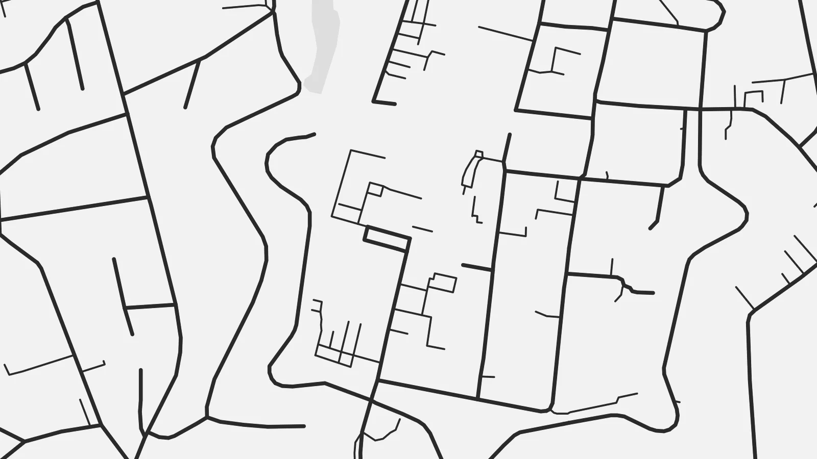 Valódi pixelek · 24 × 36″ nyomtatási fájl
Nyomtatásban is éles
Ez a valódi nyomtatási fájl 100%-os kivágata. Minden poszter — nyomtatva, kerettel vagy letöltve — szervereinken 300 DPI-vel, akár 7,200 × 10,800 pixel felbontásban készül, így a legkisebb utcák is élesek maradnak egy 24 × 36″-os nyomaton is.
A falon


A térkép
Rinteln lies on the Weser in the Schaumburg district of Lower Saxony, in a broad valley between the Weser Uplands and the hills of the Wesergebirge. From above, the old town is a compact oval on the south bank of the river. The shape of its former fortifications can still be read in the street pattern around it, with the market square at the centre.
For nearly two centuries, from 1621 to 1810, Rinteln was home to a university, and the old centre has fine examples of Weser Renaissance architecture. Across the river, newer districts and the railway extend along the valley floor, while forested slopes close off the view to the north and south.
A Rinteln map poster brings together the curve of the Weser, the neat outline of the historic core and the wooded hills around it. It is a small town with a clear structure, and the old centre stands out well at every print size.
Rinteln's historic centre forms a compact oval by the Weser, and its outline still traces the line of the former town fortifications.
The river runs past the old town in a broad curve, and the bridge connecting both banks is a clear focal point of the map.
Forested hills rise on both sides of the valley and frame the town, giving the composition a natural border to the north and south.
Tedd a sajátoddá
Adj hozzá dátumot, nevet vagy saját szöveget, válts stílust, méretet vagy tájolást.
Az ingyenes előnézet alacsony felbontású és vízjeles. A nyomatok és a HD fájlok 300 DPI-vel, akár 7,200 × 10,800 px felbontásban készülnek, vízjel nélkül.
Miért Rinteln?
For people from the Weser valley, former students and anyone who has cycled the Weser route, this map of Rinteln carries a clear sense of place. The historic core makes it a handsome, balanced picture.
Personalise the title and subtitle with a name or date, and edit the coordinates line. Choose from five styles, from Classic black & white to Blueprint. Buy it as a $9 digital file or a printed poster shipped from a nearby partner.
Rinteln poszter megrendelése| Nyomtatási méret | Felbontás | Fájlok |
|---|---|---|
| 30 × 40 cm (11.8 × 15.7″) | 3,543 × 4,724 px | PNG · PDF |
| 29.7 × 42 cm (A3, 11.7 × 16.5″) | 3,508 × 4,961 px | PNG · PDF |
| 42 × 59.4 cm (A2, 16.5 × 23.4″) | 4,961 × 7,016 px | PNG · PDF |
| 45.7 × 61 cm (18 × 24″) | 5,400 × 7,200 px | PNG · PDF |
| 50 × 70 cm (19.7 × 27.6″) | 5,906 × 8,268 px | PNG · PDF |
| 61 × 91.4 cm (24 × 36″) | 7,200 × 10,800 px | PNG · PDF |
Összehasonlításképp: az ingyenes előnézet 900 px széles, vízjeles, és képernyőn való megtekintésre készült. A HD fájlok mindkét irányban akár 8× nagyobb felbontásúak, és teljes poszterméretben is tisztán nyomtathatók.
Válassz egy stílust az oldal tetején, majd válaszd a Nyomtatott poszter opciót — méretet és, ha szeretnéd, keretet is — vagy a Digitális HD fájlokat. A fizetés egy lépésből áll, és a rendelési oldalad azonnal frissül, amint a fizetés megtörtént.
Prémium, 200 g/m²-es matt papírra nyomtatjuk, hat méretben, 30 × 40 cm-től 24 × 36″-ig. A nyomtatott poszterek ára {printFrom}-tól indul, szállítással együtt.
Igen. Válassz tömör fa keretet fekete, fehér, natúr tölgy vagy sötét fa színben. Törésálló üvegezéssel érkezik, azonnal felakasztható. A keretezett poszterek ára {framedFrom}-tól indul, szállítással együtt.
A szállítás az egész világon ingyenes. Minden posztert a hozzánk legközelebb eső nyomdapartnerünk nyomtatja ki a több mint 30 országban működő hálózatunkból, és általában 3–7 munkanap alatt megérkezik. A rendelés állapotát és a csomagkövetést a Rendeléseim oldalon nézheted meg. Néhány országba 2–5 hét a szállítás, oda pedig, ahová még nem szállítunk, az oldal fizetés előtt szól.
Küldj nekünk egy fotót a kézbesítéstől számított 14 napon belül, és ingyen újranyomtatjuk, vagy visszatérítjük az összeget.
Igen. Az oldalon található szerkesztőben tetszés szerint módosíthatod a címet, az alcímet és a koordináták sorát, majd válassz stílust és méretet. A nyomtatott, keretezett és digitális rendelések is pontosan a te tervedet használják.
$9-ért 300 DPI-s PNG és nyomtatásra kész PDF fájlokat kapsz mind a hat méretben, vízjel nélkül, bárhol kinyomtathatod. Még nem vagy biztos benne? Töltsd le először az ingyenes, vízjeles előnézetet.
