Branching lanes
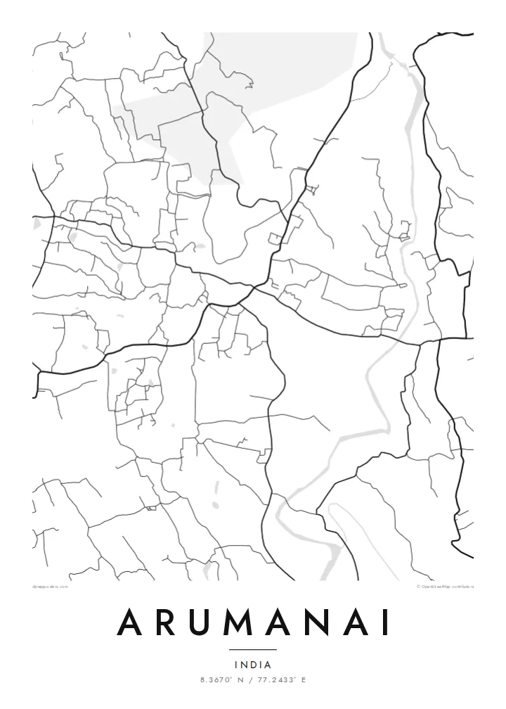
Roads split and curve around low hills and plantations. They form a web of connections between neighbourhoods rather than a single main street.
Մինիմալիստական քարտեզ-պաստառ · Հնդկաստան
8.3670° N / 77.2433° E
A town in Tamil Nadu's far south, its lanes winding over green, rolling ground near the Kerala border.



Մեկ քաղաք, հինգ տրամադրություն
Հպեք ոճին՝ պատին տեսնելու համար։ Բոլոր ոճերն արժեն նույնը՝ տպված, շրջանակված կամ որպես HD ֆայլեր։
 Իրական պիքսելներ · 24 × 36″ տպագրական ֆայլ
Տպագրական հստակություն
Սա իրական տպագրական ֆայլի 100% հատվածն է։ Յուրաքանչյուր պաստառ՝ տպված, շրջանակված կամ ներբեռնված, մեր սերվերներում մշակվում է 300 DPI որակով, մինչև 7,200 × 10,800 պիքսել, այնպես որ նույնիսկ ամենանուրբ գծերը մնում են հստակ 24 × 36″ տպագրության վրա։
Պատին


Քարտեզը
Arumanai lies in Kanyakumari district, the southernmost district of Tamil Nadu, close to the border with Kerala. The land here is green and gently rolling, and on the map the roads curve and fork rather than meeting at right angles. Homes are spread out along these routes, so the town looks less like a dense centre and more like a network of connected clusters.
This inland part of the district is known for rubber plantations, coconut groves and close cultural ties with neighbouring Kerala, reflected in the mix of Tamil and Malayalam spoken locally. Small ponds and streams are scattered through the landscape, and the foothills of the Western Ghats rise not far away.
An Arumanai map poster reflects this semi-rural pattern. The print shows branching roads and crossing lanes instead of a grid, with plantations and gardens filling the gaps between them. It suits anyone who prefers a map that looks organic and lived-in, shaped by terrain and cultivation rather than planning.
Roads split and curve around low hills and plantations. They form a web of connections between neighbourhoods rather than a single main street.
Ponds, tanks and small streams are scattered across the area. Their irregular shapes add softness and variety to the lines of the road network.
Rubber and coconut plantations fill much of the land between settlements. They leave open space that frames the scattered clusters of houses.
Դարձրեք այն ձերը
Ավելացրեք ամսաթիվ, անուն կամ ձեր սեփական տողը, փոխեք ոճը, չափսը կամ դիրքը։
Անվճար նախադիտումն ունի ցածր որակ և ջրանիշ։ Տպագրություններն ու HD ֆայլերը մշակվում են 300 DPI որակով, մինչև 7,200 × 10,800 px, առանց ջրանիշի։
Ինչու՝ Arumanai
Many families from Kanyakumari district now live in Chennai, Kerala, the Gulf or further away. A map of Arumanai is a way to hold on to the lanes of home, and it makes a thoughtful gift for relatives who moved away.
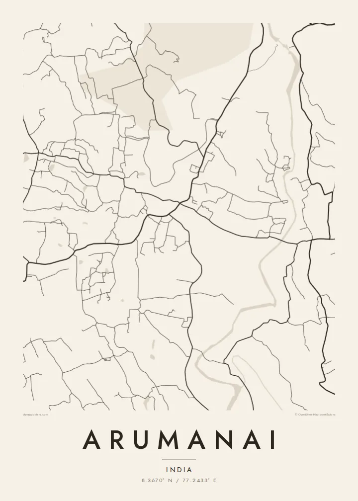
Choose one of five styles, from the warm tones of Sand to the dark Noir, and personalise the title, subtitle and coordinates. The digital files cost $9 and come in six sizes. Printed posters are on matte paper with an optional frame.
Պատվիրել Arumanai պաստառը| Տպագրության չափս | Լուծաչափ | Ֆայլեր |
|---|---|---|
| 30 × 40 cm11.8 × 15.7″ | 3,543 × 4,724 px | PNG · PDF |
| 29.7 × 42 cm (A3)11.7 × 16.5″ | 3,508 × 4,961 px | PNG · PDF |
| 42 × 59.4 cm (A2)16.5 × 23.4″ | 4,961 × 7,016 px | PNG · PDF |
| 45.7 × 61 cm18 × 24″ | 5,400 × 7,200 px | PNG · PDF |
| 50 × 70 cm19.7 × 27.6″ | 5,906 × 8,268 px | PNG · PDF |
| 61 × 91.4 cm24 × 36″ | 7,200 × 10,800 px | PNG · PDF |
Համեմատության համար՝ անվճար նախադիտումը 900 px լայնությամբ է, ջրանիշով և նախատեսված է էկրանների համար։ HD ֆայլերն ունեն մինչև 8 անգամ ավելի բարձր լուծաչափ յուրաքանչյուր ուղղությամբ և մաքուր են տպվում պաստառի ամբողջ չափով։
Ընտրեք ոճը էջի վերևում, ապա ընտրեք Տպված պաստառ՝ չափս և, ցանկության դեպքում, շրջանակ, կամ Թվային HD ֆայլեր։ Վճարումը կատարվում է մեկ քայլով, և ձեր պատվերի էջը թարմացվում է հենց վճարումն ավարտվելուն պես։
Այն տպվում է պրեմիում 200 գ/մ² մատ թղթի վրա՝ վեց չափսերից մեկով, 30 × 40 սմ-ից մինչև 24 × 36″։ Տպված պաստառների գինը սկսվում է $39-ից՝ առաքումը ներառված է։
Այո։ Ընտրեք զանգվածեղեն փայտից շրջանակ՝ սև, սպիտակ, բնական կաղնի կամ մուգ փայտի գույնով։ Այն ունի հարվածակայուն ապակի և պատրաստ է կախման համար։ Շրջանակված պաստառների գինը սկսվում է $99-ից՝ առաքումը ներառված է։
Առաքումն անվճար է 60+ երկրներ։ Յուրաքանչյուր պոստեր տպագրվում է 30+ երկրներում գործող մեր տպագրական գործընկերներից ամենամոտի մոտ և սովորաբար հասնում է 3–7 աշխատանքային օրում։ Կարգավիճակն ու հետևումը կարող եք տեսնել «Իմ պատվերները» բաժնում։ Մի քանի երկիր 2–5 շաբաթ է պահանջում, իսկ եթե դեռ չենք առաքում ձեր երկիր, կայքը դրա մասին կասի վճարելուց առաջ։
Ուղարկեք մեզ լուսանկար առաքումից հետո 14 օրվա ընթացքում, և մենք անվճար կրկին կտպենք կամ գումարը կվերադարձնենք։
Այո։ Այս էջի խմբագրիչում փոխեք վերնագիրը, ենթավերնագիրը և կոորդինատների տողը ձեր ցանկությամբ, և ընտրեք ոճն ու չափսը։ Տպված, շրջանակված և թվային պատվերներն օգտագործում են ճիշտ ձեր դիզայնը։
$9-ով ստանում եք 300 DPI որակի PNG և տպագրության համար պատրաստ PDF ֆայլեր բոլոր վեց չափսերով, առանց ջրանիշի, ցանկացած վայրում տպելու համար։ Դեռ վստահ չե՞ք։ Նախ ներբեռնեք անվճար ջրանիշով նախադիտումը։
