Valley spine
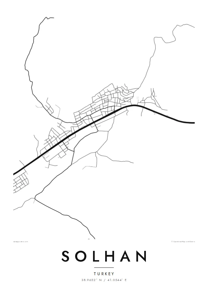
The main road runs through the town along the valley floor. It carries through traffic and serves as the backbone from which most other streets branch.
Մինիմալիստական քարտեզ-պաստառ · Թուրքիա
38.9652° N / 41.0544° E
A small town in the mountains of eastern Turkey, spread along a valley floor with steep slopes rising on both sides.


Մեկ քաղաք, հինգ տրամադրություն
Հպեք ոճին՝ պատին տեսնելու համար։ Բոլոր ոճերն արժեն նույնը՝ տպված, շրջանակված կամ որպես HD ֆայլեր։
 Իրական պիքսելներ · 24 × 36″ տպագրական ֆայլ
Տպագրական հստակություն
Սա իրական տպագրական ֆայլի 100% հատվածն է։ Յուրաքանչյուր պաստառ՝ տպված, շրջանակված կամ ներբեռնված, մեր սերվերներում մշակվում է 300 DPI որակով, մինչև 7,200 × 10,800 պիքսել, այնպես որ նույնիսկ ամենանուրբ գծերը մնում են հստակ 24 × 36″ տպագրության վրա։
Պատին


Քարտեզը
Solhan is a district town in Bingöl province in eastern Anatolia, in the high, mountainous country of the Murat River basin. On a map, the landscape sets strict limits. The town stretches along the flatter ground of a valley, the main road runs lengthwise through it, and the streets climb only a little way up the slopes before giving way to open hillside.
The street pattern is linear and compact. A main road forms the spine, and shorter streets branch off it at an angle as the terrain allows. Newer residential blocks have filled in the flatter spaces. Beyond the edge of town, tracks wind up the hills toward villages, pastures and upland farms.
A Solhan map poster shows a settlement shaped almost entirely by its topography. It is long and narrow, with a single strong axis and a lot of open ground around it. The composition is spare and directional, fitting for a mountain town. It is a thoughtful print for people from Bingöl who now live elsewhere in Turkey or abroad.
The main road runs through the town along the valley floor. It carries through traffic and serves as the backbone from which most other streets branch.
Side streets climb a short distance up the hillsides before the terrain stops them. This gives the town its long, narrow outline on the map.
Beyond the built-up area, thin roads wind up into the hills toward villages and pastures. They add delicate lines to the open space around the town.
Դարձրեք այն ձերը
Ավելացրեք ամսաթիվ, անուն կամ ձեր սեփական տողը, փոխեք ոճը, չափսը կամ դիրքը։
Անվճար նախադիտումն ունի ցածր որակ և ջրանիշ։ Տպագրություններն ու HD ֆայլերը մշակվում են 300 DPI որակով, մինչև 7,200 × 10,800 px, առանց ջրանիշի։
Ինչու՝ Solhan
For families from Solhan, many of whom have moved to larger cities or abroad, this map captures the shape of home in a single view: the valley, the main road and the slopes around it. It is a restrained, personal gift.
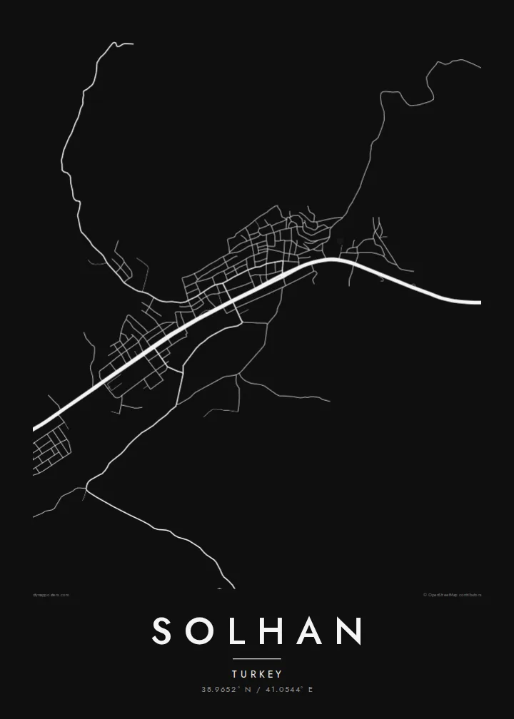
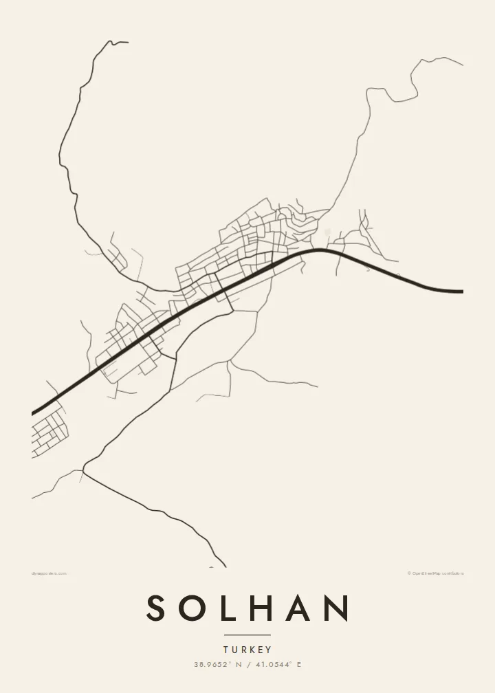
Title, subtitle and coordinates line are all editable, so you can add a family name, a village or a year. Choose Classic black & white, Noir, Paper, Blueprint or Sand. Noir gives the mountain setting a particularly strong, quiet presence.
Պատվիրել Solhan պաստառը| Տպագրության չափս | Լուծաչափ | Ֆայլեր |
|---|---|---|
| 30 × 40 cm (11.8 × 15.7″) | 3,543 × 4,724 px | PNG · PDF |
| 29.7 × 42 cm (A3, 11.7 × 16.5″) | 3,508 × 4,961 px | PNG · PDF |
| 42 × 59.4 cm (A2, 16.5 × 23.4″) | 4,961 × 7,016 px | PNG · PDF |
| 45.7 × 61 cm (18 × 24″) | 5,400 × 7,200 px | PNG · PDF |
| 50 × 70 cm (19.7 × 27.6″) | 5,906 × 8,268 px | PNG · PDF |
| 61 × 91.4 cm (24 × 36″) | 7,200 × 10,800 px | PNG · PDF |
Համեմատության համար՝ անվճար նախադիտումը 900 px լայնությամբ է, ջրանիշով և նախատեսված է էկրանների համար։ HD ֆայլերն ունեն մինչև 8 անգամ ավելի բարձր լուծաչափ յուրաքանչյուր ուղղությամբ և մաքուր են տպվում պաստառի ամբողջ չափով։
Ընտրեք ոճը էջի վերևում, ապա ընտրեք Տպված պաստառ՝ չափս և, ցանկության դեպքում, շրջանակ, կամ Թվային HD ֆայլեր։ Վճարումը կատարվում է մեկ քայլով, և ձեր պատվերի էջը թարմացվում է հենց վճարումն ավարտվելուն պես։
Այն տպվում է պրեմիում 200 գ/մ² մատ թղթի վրա՝ վեց չափսերից մեկով, 30 × 40 սմ-ից մինչև 24 × 36″։ Տպված պաստառների գինը սկսվում է $39-ից՝ առաքումը ներառված է։
Այո։ Ընտրեք զանգվածեղեն փայտից շրջանակ՝ սև, սպիտակ, բնական կաղնի կամ մուգ փայտի գույնով։ Այն ունի հարվածակայուն ապակի և պատրաստ է կախման համար։ Շրջանակված պաստառների գինը սկսվում է $99-ից՝ առաքումը ներառված է։
Առաքումն ամբողջ աշխարհում անվճար է։ Յուրաքանչյուր պոստեր տպվում է մեր տպագրական գործընկերներից ամենամոտի մոտ՝ 30+ երկրներում, և սովորաբար հասնում է 3–7 աշխատանքային օրում։ Կարգավիճակն ու հետևման համարը կարող եք տեսնել «Իմ պատվերները» բաժնում։ Մի քանի երկրներ 2–5 շաբաթ են պահանջում, իսկ եթե դեռ չենք առաքում, կայքը դրա մասին կասի մինչև վճարելը։
Ուղարկեք մեզ լուսանկար առաքումից հետո 14 օրվա ընթացքում, և մենք անվճար կրկին կտպենք կամ գումարը կվերադարձնենք։
Այո։ Այս էջի խմբագրիչում փոխեք վերնագիրը, ենթավերնագիրը և կոորդինատների տողը ձեր ցանկությամբ, և ընտրեք ոճն ու չափսը։ Տպված, շրջանակված և թվային պատվերներն օգտագործում են ճիշտ ձեր դիզայնը։
$9-ով ստանում եք 300 DPI որակի PNG և տպագրության համար պատրաստ PDF ֆայլեր բոլոր վեց չափսերով, առանց ջրանիշի, ցանկացած վայրում տպելու համար։ Դեռ վստահ չե՞ք։ Նախ ներբեռնեք անվճար ջրանիշով նախադիտումը։
Մոտակայքում
