Road network
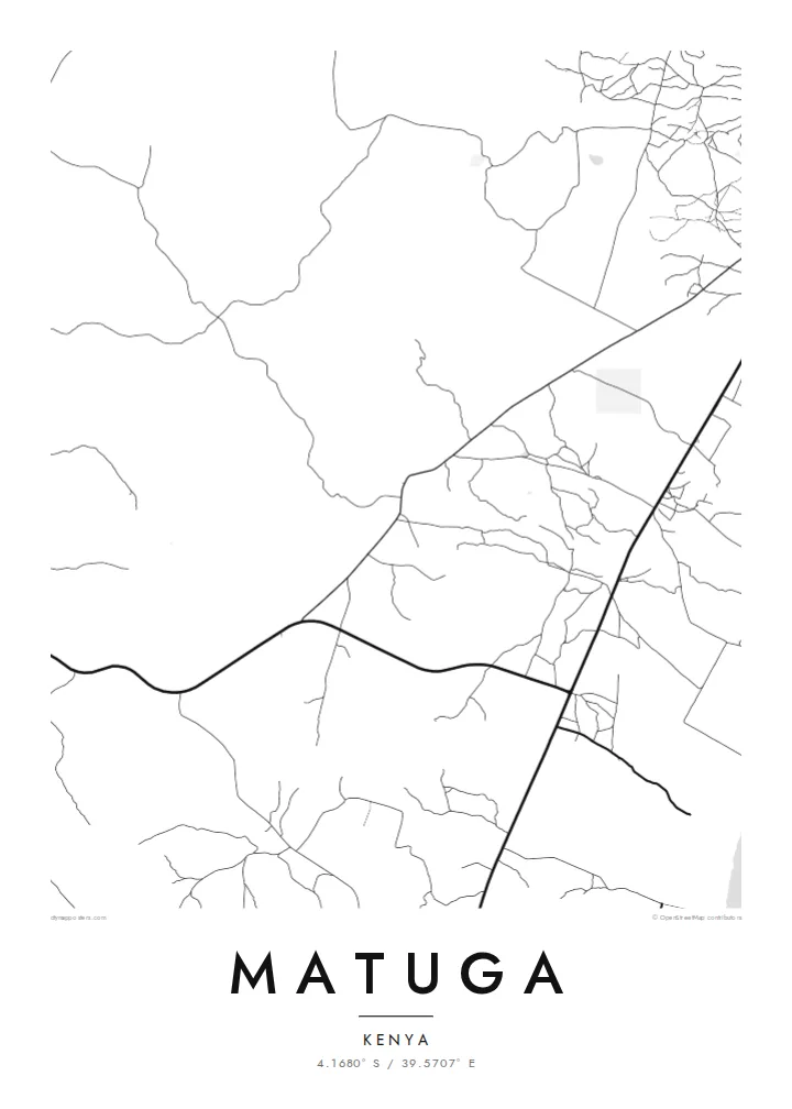
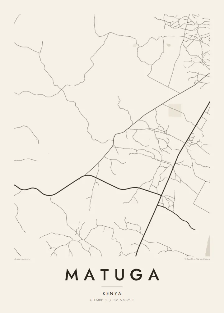
The map is defined by roads linking villages to one another and to routes running toward the coast, a branching pattern that shows how people and goods move across the county.
ミニマルなマップポスター · ケニア
4.1680° S / 39.5707° E
Scattered villages and unpaved roads spread across the gentle coastal hinterland south-west of Mombasa, near the Shimba Hills.



ひとつの街、5つの表情
スタイルをタップすると、壁に飾ったイメージを確認できます。どのスタイルも料金は同じです — プリント、フレーム付き、HDファイルのいずれでも。
 実寸ピクセル・24 × 36″ 印刷ファイル
印刷でもくっきり
これは実際の印刷ファイルを100%の解像度で切り出したものです。プリント、フレーム付き、ダウンロードのいずれのポスターも、サーバー上で300 DPI・最大7,200 × 10,800ピクセルでレンダリングされるため、24 × 36″の印刷でも細かい道まで鮮明です。
部屋に飾ると


この地図について
Matuga lies in Kwale County on Kenya's south coast, in the rolling country between the Indian Ocean shoreline and the Shimba Hills. Rather than a compact town, it is a wide area of villages, farms and market centres, so from above the map shows a loose network of roads and footpaths instead of a single dense core. Settlements cluster along the main routes and thin out into cultivated land.
The population figure counts the whole area rather than one urban centre, which is typical of this part of the coast. The county town of Kwale is close by, and the slopes of Shimba Hills National Reserve rise to the south-west, where grassland and patches of coastal forest are protected from the farmland that surrounds them.
A Matuga map poster captures a landscape that is more about connection than density: roads threading between homesteads, streams cutting shallow valleys toward the coast, and the occasional crossroads where a market gathers. In black and white the pattern becomes delicate and open, closer to a drawing than a city plan.
The map is defined by roads linking villages to one another and to routes running toward the coast, a branching pattern that shows how people and goods move across the county.
To the south-west the land rises toward the Shimba Hills, a protected upland of forest and grassland. On the poster, the reserve appears as a quiet, road-free area beside the settled farmland.
Small watercourses drain the hinterland toward the Indian Ocean, carving shallow valleys between farms. Traced in fine lines, they add a gentle rhythm to an otherwise open, rural composition.
自分だけの一枚に
日付や名前、好きな言葉を入れたり、スタイル・サイズ・向きを変えたりできます。
無料プレビューは低解像度で透かし入りです。プリントとHDファイルは300 DPI・最大7,200 × 10,800pxでレンダリングされ、透かしはありません。
Matugaを選ぶ理由
For people from Kwale County, or anyone with family roots in the south coast villages, a map of Matuga is a way to keep the home area in view. Its open, rural layout makes a calm, uncluttered print that works well in a bedroom or office.
Add a title, subtitle or a coordinates line that points to a specific village or a family home, and select from five styles: Classic black & white, Noir, Paper, Blueprint or Sand. Sand gives the landscape a warm tone, while Noir turns the roads into fine light lines.
Matugaのポスターを注文する| 印刷サイズ | 解像度 | ファイル |
|---|---|---|
| 30 × 40 cm (11.8 × 15.7″) | 3,543 × 4,724 px | PNG · PDF |
| 29.7 × 42 cm (A3, 11.7 × 16.5″) | 3,508 × 4,961 px | PNG · PDF |
| 42 × 59.4 cm (A2, 16.5 × 23.4″) | 4,961 × 7,016 px | PNG · PDF |
| 45.7 × 61 cm (18 × 24″) | 5,400 × 7,200 px | PNG · PDF |
| 50 × 70 cm (19.7 × 27.6″) | 5,906 × 8,268 px | PNG · PDF |
| 61 × 91.4 cm (24 × 36″) | 7,200 × 10,800 px | PNG · PDF |
比較すると、無料プレビューは幅900 pxで透かし入り、画面表示用です。HDデータは縦横それぞれ最大8倍の解像度で、ポスターサイズでもきれいに印刷できます。
ページ上部でスタイルを選び、プリントポスター(サイズとお好みでフレーム)またはデジタルHDファイルをお選びください。お会計は1ステップで完了し、お支払いが確認され次第、注文ページが更新されます。
高級200gsmマット紙に印刷され、30 × 40cmから24 × 36″まで6種類のサイズからお選びいただけます。プリントポスターは送料込みで{printFrom}からとなります。
はい。ブラック、ホワイト、ナチュラルオーク、ダークウッドの無垢材フレームからお選びいただけます。割れにくい素材のガラスパネル付きで、届いたらすぐに飾れます。フレーム付きポスターは送料込みで{framedFrom}からとなります。
送料は世界中どこでも無料です。ポスターは、30か国以上にある提携印刷会社のうち、お届け先にいちばん近いところで印刷され、通常は3〜7営業日で届きます。注文状況と追跡情報は「注文履歴」からご確認いただけます。一部の国では2〜5週間かかります。また、まだ配送できない国の場合は、お支払い前にサイト上でお知らせします。
お届けから14日以内に写真をお送りいただければ、無料で再印刷または返金いたします。
はい。このページのエディターでタイトル、サブタイトル、座標の行をお好きに変更し、スタイルとサイズをお選びください。プリント、フレーム付き、デジタルのいずれの注文にも、そのままお客様のデザインが使用されます。
$9で、6種類全サイズの300 DPI PNGと印刷用PDFファイルを、透かしなしでお届けします。どこでも印刷可能です。迷っている場合は、まず無料の透かし入りプレビューをダウンロードしてお試しください。
