Branching lanes
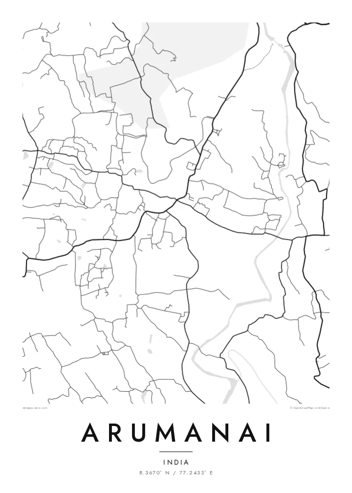
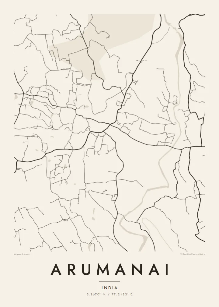
Roads split and curve around low hills and plantations. They form a web of connections between neighbourhoods rather than a single main street.
მინიმალისტური რუკის პოსტერი · ინდოეთი
8.3670° N / 77.2433° E
A town in Tamil Nadu's far south, its lanes winding over green, rolling ground near the Kerala border.



ერთი ქალაქი, ხუთი განწყობა
შეეხეთ სტილს, რომ ნახოთ კედელზე. ყველა სტილი ერთი ფასის ღირს — ბეჭდური, ჩარჩოში ან HD ფაილების სახით.
 რეალური პიქსელები · 24 × 36″ ბეჭდვის ფაილი
ბეჭდვის სიმკვეთრე
ეს არის რეალური ბეჭდვის ფაილის 100% ზომის ნაწყვეტი. ყველა პოსტერი — ბეჭდური, ჩარჩოში ან გადმოწერილი — მზადდება ჩვენს სერვერებზე 300 DPI ხარისხით, 7,200 × 10,800 პიქსელამდე, ისე რომ ყველაზე წვრილი ხაზებიც კი მკვეთრი რჩება 24 × 36″ ზომის ბეჭდვისას.
კედელზე


რუკა
Arumanai lies in Kanyakumari district, the southernmost district of Tamil Nadu, close to the border with Kerala. The land here is green and gently rolling, and on the map the roads curve and fork rather than meeting at right angles. Homes are spread out along these routes, so the town looks less like a dense centre and more like a network of connected clusters.
This inland part of the district is known for rubber plantations, coconut groves and close cultural ties with neighbouring Kerala, reflected in the mix of Tamil and Malayalam spoken locally. Small ponds and streams are scattered through the landscape, and the foothills of the Western Ghats rise not far away.
An Arumanai map poster reflects this semi-rural pattern. The print shows branching roads and crossing lanes instead of a grid, with plantations and gardens filling the gaps between them. It suits anyone who prefers a map that looks organic and lived-in, shaped by terrain and cultivation rather than planning.
Roads split and curve around low hills and plantations. They form a web of connections between neighbourhoods rather than a single main street.
Ponds, tanks and small streams are scattered across the area. Their irregular shapes add softness and variety to the lines of the road network.
Rubber and coconut plantations fill much of the land between settlements. They leave open space that frames the scattered clusters of houses.
შექმენით თქვენებური
დაამატეთ თარიღი, სახელი ან თქვენი ფრაზა, შეცვალეთ სტილი, ზომა ან ორიენტაცია.
უფასო გადახედვა არის დაბალი გარჩევადობის და ვოტერმარკით. ბეჭდური და HD ფაილები მზადდება 300 DPI ხარისხით, 7,200 × 10,800 px-მდე, ვოტერმარკის გარეშე.
რატომ Arumanai
Many families from Kanyakumari district now live in Chennai, Kerala, the Gulf or further away. A map of Arumanai is a way to hold on to the lanes of home, and it makes a thoughtful gift for relatives who moved away.
Choose one of five styles, from the warm tones of Sand to the dark Noir, and personalise the title, subtitle and coordinates. The digital files cost $9 and come in six sizes. Printed posters are on matte paper with an optional frame.
შეუკვეთეთ Arumanai პოსტერი| ბეჭდვის ზომა | გარჩევადობა | ფაილები |
|---|---|---|
| 30 × 40 cm11.8 × 15.7″ | 3,543 × 4,724 px | PNG · PDF |
| 29.7 × 42 cm (A3)11.7 × 16.5″ | 3,508 × 4,961 px | PNG · PDF |
| 42 × 59.4 cm (A2)16.5 × 23.4″ | 4,961 × 7,016 px | PNG · PDF |
| 45.7 × 61 cm18 × 24″ | 5,400 × 7,200 px | PNG · PDF |
| 50 × 70 cm19.7 × 27.6″ | 5,906 × 8,268 px | PNG · PDF |
| 61 × 91.4 cm24 × 36″ | 7,200 × 10,800 px | PNG · PDF |
შედარებისთვის: უფასო პრევიუ 900 px სიგანისაა, წყლის ნიშნით და ეკრანისთვის არის განკუთვნილი. HD ფაილებს თითოეული მიმართულებით 8-ჯერ მეტი გარჩევადობა აქვს და სრული ზომის პოსტერზე სუფთად იბეჭდება.
აირჩიეთ სტილი გვერდის თავში, შემდეგ აირჩიეთ ბეჭდური პოსტერი — ზომა და, სურვილისამებრ, ჩარჩო — ან ციფრული HD ფაილები. გადახდა ერთ ნაბიჯშია, ხოლო თქვენი შეკვეთის გვერდი განახლდება გადახდის დასრულებისთანავე.
ის იბეჭდება პრემიუმ 200 გ/მ² მატ ქაღალდზე, ექვსი ზომიდან ერთ-ერთში, 30 × 40 სმ-დან 24 × 36″-მდე. ბეჭდური პოსტერების ფასი იწყება $39-დან, მიწოდება უფასოა.
დიახ. აირჩიეთ მასიური ხის ჩარჩო — შავი, თეთრი, ნატურალური მუხის ან მუქი ხის ფერში. ის მოდის ურღვევი მინით და მზადაა ჩამოსაკიდებლად. ჩარჩოიანი პოსტერების ფასი იწყება $99-დან, მიწოდება უფასოა.
მიწოდება უფასოა 60+ ქვეყანაში. თითოეულ პოსტერს ბეჭდავს ჩვენი ბეჭდვის პარტნიორებიდან ყველაზე ახლოს მყოფი 30+ ქვეყანაში და ჩვეულებრივ ის 3–7 სამუშაო დღეში მოდის. სტატუსსა და თრექინგს გამოიწერთ განყოფილებაში „ჩემი შეკვეთები“. ზოგ ქვეყანაში მიწოდებას 2–5 კვირა სჭირდება, ხოლო იქ, სადაც ჯერ არ ვაწვდით, საიტი გადახდამდე გაცნობებთ.
გამოგვიგზავნეთ ფოტო მიწოდებიდან 14 დღის განმავლობაში და ჩვენ უფასოდ დაგიბეჭდავთ ხელახლა ან თანხას დაგიბრუნებთ.
დიახ. ამ გვერდის რედაქტორში შეცვალეთ სათაური, ქვესათაური და კოორდინატების ხაზი როგორც გსურთ, და აირჩიეთ სტილი და ზომა. ბეჭდურ, ჩარჩოიან და ციფრულ შეკვეთებში ზუსტად თქვენი დიზაინი გამოიყენება.
$9-ად მიიღებთ 300 DPI PNG და ბეჭდვისთვის მზა PDF ფაილებს ყველა ექვს ზომაში, ვოტერმარკის გარეშე, ნებისმიერ ადგილას დასაბეჭდად. ჯერ არ ხართ დარწმუნებული? ჯერ ჩამოტვირთეთ უფასო ვერსია ვოტერმარკით.
ახლომახლო
