The curled tip
Provincetown sits inside the final hook of sand, its streets following the harbour in a long, thin strip with dunes behind them.
მინიმალისტური რუკის პოსტერი · ამერიკის შეერთებული შტატები
41.7987° N / 70.3085° W
A peninsula bent like a flexed arm, curling north to a sandy hook at Provincetown and cut from the mainland by a canal


ერთი ქალაქი, ხუთი განწყობა
შეეხეთ სტილს, რომ ნახოთ კედელზე. ყველა სტილი ერთი ფასის ღირს — ბეჭდური, ჩარჩოში ან HD ფაილების სახით.
 რეალური პიქსელები · 24 × 36″ ბეჭდვის ფაილი
ბეჭდვის სიმკვეთრე
ეს არის რეალური ბეჭდვის ფაილის 100% ზომის ნაწყვეტი. ყველა პოსტერი — ბეჭდური, ჩარჩოში ან გადმოწერილი — მზადდება ჩვენს სერვერებზე 300 DPI ხარისხით, 7,200 × 10,800 პიქსელამდე, ისე რომ ყველაზე წვრილი ხაზებიც კი მკვეთრი რჩება 24 × 36″ ზომის ბეჭდვისას.
კედელზე
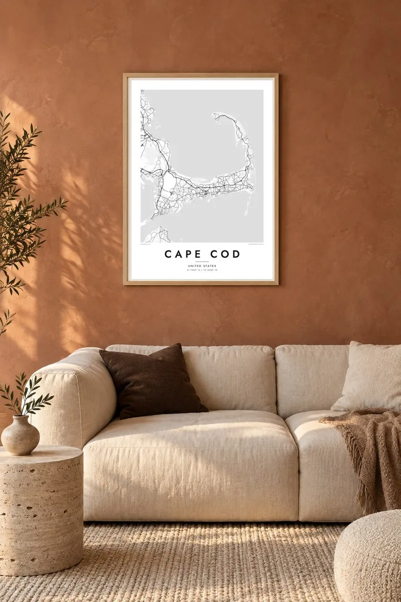
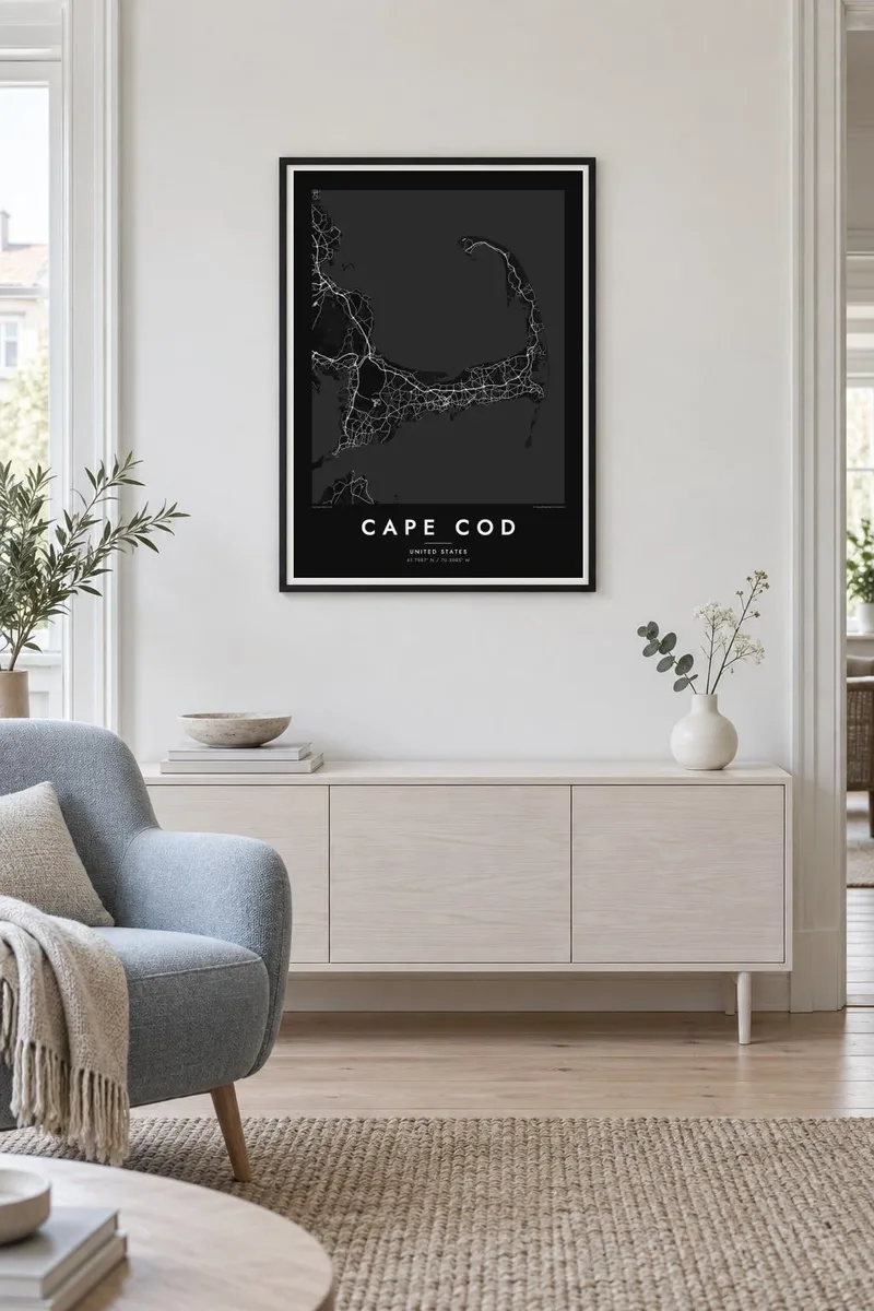
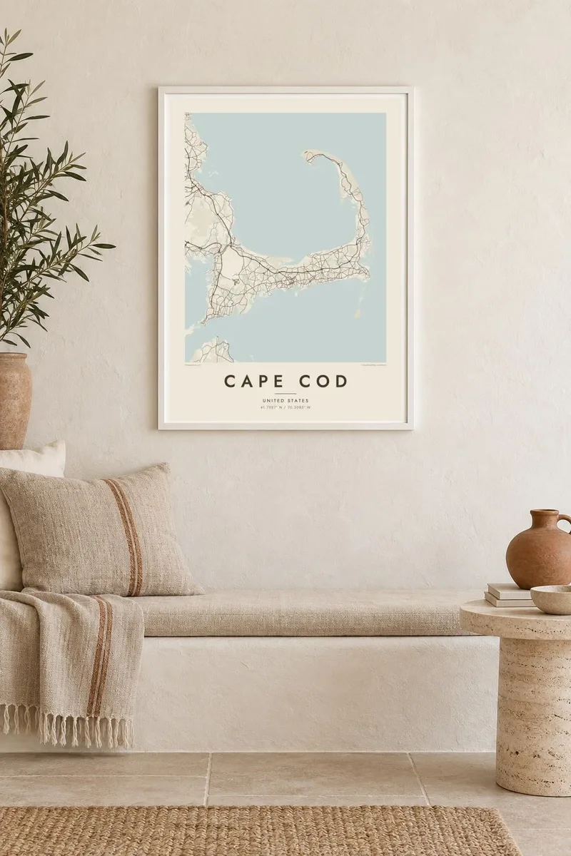
რუკა
Cape Cod reaches into the Atlantic from southeastern Massachusetts, and its outline is one of the most recognisable on the American coast. The land runs east from the mainland, turns north at the elbow near Chatham and ends in a curled fist of dunes around Provincetown. The inner curve encloses Cape Cod Bay, while the outer shore faces the open ocean.
The Pilgrims first anchored in Provincetown Harbor in 1620 and signed the Mayflower Compact there before sailing on to Plymouth. The Cape Cod Canal opened across the base of the peninsula in 1914, and today two high bridges, the Bourne and the Sagamore, carry traffic over it. Much of the outer shore is protected as the Cape Cod National Seashore.
A Cape Cod map poster shows land dotted with ponds, many of them kettle ponds left behind by retreating glaciers, along with harbours, salt marshes and long barrier beaches. Route 6 runs the length of the Cape as its main spine, and the village centres on both shores appear as small street networks among winding lanes and inlets.
Provincetown sits inside the final hook of sand, its streets following the harbour in a long, thin strip with dunes behind them.
A straight channel cuts across the base of the peninsula, crossed by the Bourne and Sagamore bridges, visibly separating the Cape from the mainland.
Hundreds of small, rounded ponds are scattered across the interior, giving the land a speckled texture unlike any other stretch of the New England coast.
შექმენით თქვენებური
დაამატეთ თარიღი, სახელი ან თქვენი ფრაზა, შეცვალეთ სტილი, ზომა ან ორიენტაცია.
უფასო გადახედვა არის დაბალი გარჩევადობის და ვოტერმარკით. ბეჭდური და HD ფაილები მზადდება 300 DPI ხარისხით, 7,200 × 10,800 px-მდე, ვოტერმარკის გარეშე.
რატომ Cape Cod
For families with a summer cottage, a favourite beach or a long history of trips over the Sagamore Bridge, the whole Cape in one frame makes a natural keepsake. Personalise the title with a town or family name, and use the subtitle for a year or a date.
Pick from Classic black & white, Noir, Paper, Blueprint and Sand. A free 900 px watermarked preview shows the composition before you buy, and printed posters on matte paper can be ordered with a wooden frame from partners in more than 30 countries.
შეუკვეთეთ Cape Cod პოსტერი| ბეჭდვის ზომა | გარჩევადობა | ფაილები |
|---|---|---|
| 30 × 40 cm (11.8 × 15.7″) | 3,543 × 4,724 px | PNG · PDF |
| 29.7 × 42 cm (A3, 11.7 × 16.5″) | 3,508 × 4,961 px | PNG · PDF |
| 42 × 59.4 cm (A2, 16.5 × 23.4″) | 4,961 × 7,016 px | PNG · PDF |
| 45.7 × 61 cm (18 × 24″) | 5,400 × 7,200 px | PNG · PDF |
| 50 × 70 cm (19.7 × 27.6″) | 5,906 × 8,268 px | PNG · PDF |
| 61 × 91.4 cm (24 × 36″) | 7,200 × 10,800 px | PNG · PDF |
შედარებისთვის: უფასო პრევიუ 900 px სიგანისაა, წყლის ნიშნით და ეკრანისთვის არის განკუთვნილი. HD ფაილებს თითოეული მიმართულებით 8-ჯერ მეტი გარჩევადობა აქვს და სრული ზომის პოსტერზე სუფთად იბეჭდება.
აირჩიეთ სტილი გვერდის თავში, შემდეგ აირჩიეთ ბეჭდური პოსტერი — ზომა და, სურვილისამებრ, ჩარჩო — ან ციფრული HD ფაილები. გადახდა ერთ ნაბიჯშია, ხოლო თქვენი შეკვეთის გვერდი განახლდება გადახდის დასრულებისთანავე.
ის იბეჭდება პრემიუმ 200 გ/მ² მატ ქაღალდზე, ექვსი ზომიდან ერთ-ერთში, 30 × 40 სმ-დან 24 × 36″-მდე. ბეჭდური პოსტერების ფასი იწყება {printFrom}-დან, მიწოდება უფასოა.
დიახ. აირჩიეთ მასიური ხის ჩარჩო — შავი, თეთრი, ნატურალური მუხის ან მუქი ხის ფერში. ის მოდის ურღვევი მინით და მზადაა ჩამოსაკიდებლად. ჩარჩოიანი პოსტერების ფასი იწყება {framedFrom}-დან, მიწოდება უფასოა.
მიწოდება მთელ მსოფლიოში უფასოა. თითოეული პოსტერი იბეჭდება ჩვენი უახლოესი ბეჭდვის პარტნიორის მიერ 30+ ქვეყანაში და, ჩვეულებრივ, მოდის 3–7 სამუშაო დღეში. სტატუსისა და თრექინგის ნახვა შეგიძლიათ „ჩემი შეკვეთების“ გვერდზე.
გამოგვიგზავნეთ ფოტო მიწოდებიდან 14 დღის განმავლობაში და ჩვენ უფასოდ დაგიბეჭდავთ ხელახლა ან თანხას დაგიბრუნებთ.
დიახ. ამ გვერდის რედაქტორში შეცვალეთ სათაური, ქვესათაური და კოორდინატების ხაზი როგორც გსურთ, და აირჩიეთ სტილი და ზომა. ბეჭდურ, ჩარჩოიან და ციფრულ შეკვეთებში ზუსტად თქვენი დიზაინი გამოიყენება.
$9-ად მიიღებთ 300 DPI PNG და ბეჭდვისთვის მზა PDF ფაილებს ყველა ექვს ზომაში, ვოტერმარკის გარეშე, ნებისმიერ ადგილას დასაბეჭდად. ჯერ არ ხართ დარწმუნებული? ჯერ ჩამოტვირთეთ უფასო ვერსია ვოტერმარკით.
ახლომახლო
