The Congo estuary
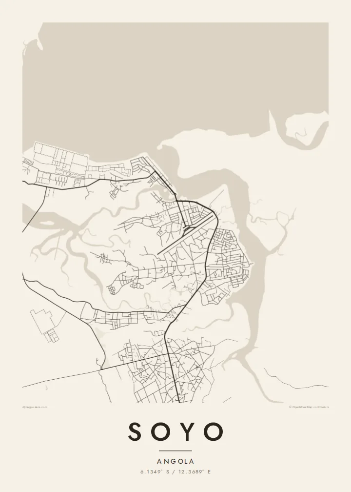
The wide mouth of the Congo dominates the northern side of the map, a broad expanse of water that marks the border between Angola and the Democratic Republic of the Congo.
Nunap assingata plakatia minimalistiusoq · AO
6.1349° S / 12.3689° E
A low-lying town at the mouth of the Congo River, where estuary channels, mangrove islands and the Atlantic coast converge.



Illoqarfik ataaseq, misigisat tallimat
Stiili toqqaruk illumi qanoq isikkoqarnersoq takuniassallugu. Stiilit tamaasa akiisa assigiipput — naqitat, qaammatitat imaluunniit HD-filit.
 Pikselit tamakkerlugit · 24 × 36″ naqitat filii
Naqitamut erseqqissoq
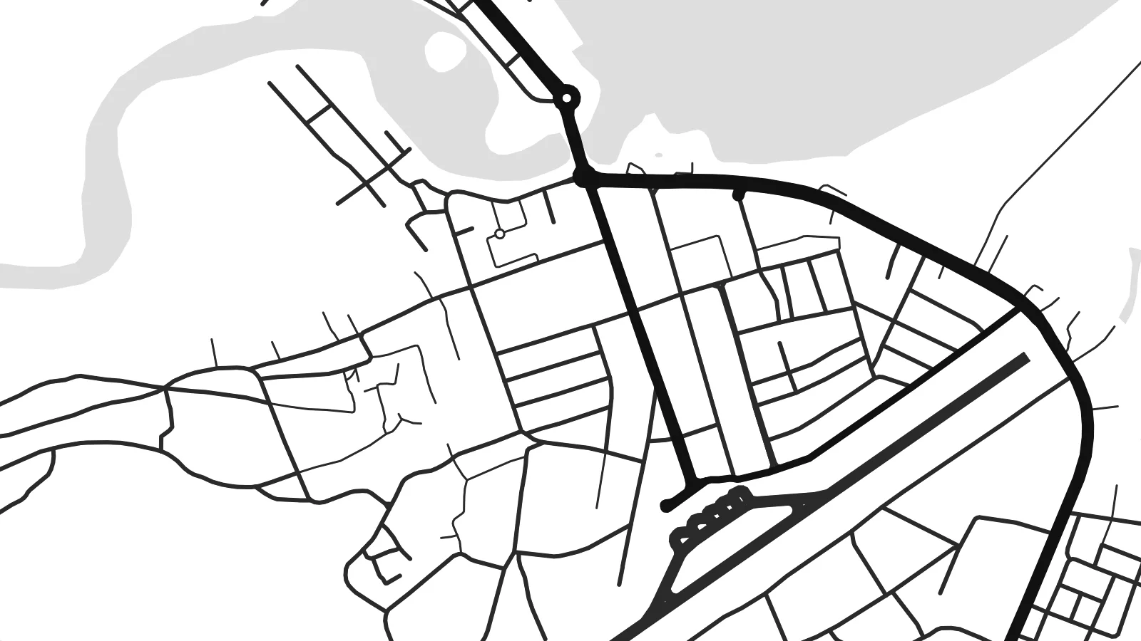
Tamanna naqitat filiata 100%-ia ilaannaanga. Poster tamaasa — naqitat, qaammatitallu imaluunniit aalajangersimasumik ikkussat — serverivitsinni 300 DPI-mik, 7,200 × 10,800 pikselinnut tikillugu, suliarineqarput, taamaattumik aqquserpiit mikinerpaaqisut 24 × 36″-imi naqitami erseqqissuarlutik takuneqarsinnaapput.
Sarfamiippoq


Nunap assinga
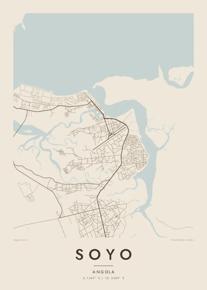
Soyo stands on the southern bank of the Congo estuary in northern Angola, on flat ground where the river meets the Atlantic. The map here is shaped as much by water as by streets: branching channels, low islands and creeks spread across the landscape, and the town's road network sits on the firmer land between them, reaching toward the shore.
The Congo is one of the world's largest rivers by discharge, and its mouth has long been a landmark for sailors. In 1482 the Portuguese navigator Diogo Cão reached the estuary and set up a stone pillar, or padrão, on the nearby point that still carries the name Ponta do Padrão. The coast around Soyo was part of the historic Kingdom of Kongo.
In recent decades Soyo has grown as a centre of Angola's oil and gas industry, with an LNG plant and industrial installations on the coast. A Soyo map poster sets the town against its setting, where the fine lines of streets give way to the irregular outlines of a vast river mouth on the edge of the ocean.
The wide mouth of the Congo dominates the northern side of the map, a broad expanse of water that marks the border between Angola and the Democratic Republic of the Congo.
Creeks and side channels cut the low ground into irregular shapes, so the land itself looks like a puzzle of islands threaded between the town and the river.
To the west the land meets the open ocean along a fairly straight coast, a clean edge that contrasts with the ragged outlines of the estuary.
Nammineq ilusilersoruk
Ulloq, ateq imaluunniit oqaaseqaatitit ilanngukkit, ilusaa, angissusaa imaluunniit sammivia allanngortiguk.
Akeqanngitsoq takuniassaq qaffasissuseq appasinnerusoq ilisarnaataqarluni. Naqitat aamma HD filit 300 DPI-mik, 7,200 × 10,800 px-nut tikillugu, ilisarnaataqanngitsumik suliarineqarput.
Sooq Soyo
For people who have worked in Soyo's energy sector, or families from Zaire province, this map records a place defined by its river. The interplay of water and land makes an unusual, almost abstract print for a home or office.
Personalise the title and subtitle, perhaps with the years spent there, and choose Classic black & white, Noir, Paper, Blueprint or Sand. The digital download costs $9 and includes six sizes, from 30×40 cm to 24×36″, without a watermark.
Soyo posteri tunisaqarfigiuk| Naqitap angissusia | Erseqqissusia | Fiilit |
|---|---|---|
| 30 × 40 cm (11.8 × 15.7″) | 3,543 × 4,724 px | PNG · PDF |
| 29.7 × 42 cm (A3, 11.7 × 16.5″) | 3,508 × 4,961 px | PNG · PDF |
| 42 × 59.4 cm (A2, 16.5 × 23.4″) | 4,961 × 7,016 px | PNG · PDF |
| 45.7 × 61 cm (18 × 24″) | 5,400 × 7,200 px | PNG · PDF |
| 50 × 70 cm (19.7 × 27.6″) | 5,906 × 8,268 px | PNG · PDF |
| 61 × 91.4 cm (24 × 36″) | 7,200 × 10,800 px | PNG · PDF |
Sanilliussigaanni takutitsineq akeqanngitsoq 900 px-inik silissuseqarpoq, nalunaaqutaqarpoq skærmimilu takuneqarnissaanut naatsorsuussaalluni. HD-fiilit sammivimmi tamarmi 8-riaammik erseqqinnerusinnaapput plakatitullu angissusilimmi tamarmi kusanartumik naqiterneqarsinnaallutik.
Qupperneq qulaani stiili toqqaruk, taavalu Poster Naqitat toqqarlugu — angissusia, kissaatigigukku qaammatitaaleraluarlutit — imaluunniit Digital HD Filit toqqaruk. Akiliuteqarnissaq ataatsimik pisarpoq, akiliutigineqareerpat tunisassat qupperneraat immiaassaaq.
Naqinneqarpoq assigiinngitsumik pitsaasumik 200 gsm-imik matte-mik paapimi, angissusit arfinillit ilaanni, 30 × 40 cm-miit 24 × 36″-mut. Naqitat posterit {printFrom}-miit aallartissapput, assartuineq ilanngullugu.
Aap. Qaammatit qernertumik, qaqortumik, naturimik eegimik imaluunniit qernertumik qisummik pilersorlugu toqqaruk. Igalaaq qisuutinnavianngitsoq ilaalluni tunniunneqarpoq, aammalu illumut qaleriiffigineqarnissamut piareersimavoq. Qaammatitat posterit {framedFrom}-miit aallartissapput, assartuineq ilanngullugu.
Assartuineq silarsuup tamakkerlugu akeqanngilaq. Poster tamaasa nunani 30+-mi suleqatigisatta naqitat naammattukkaanniit naqinneqarput, pisarialu ullormut 3-7-ni sulinerni tikittarpoq. Sumut killiffigisoq Tunisassakka ataani malinnaaffigisinnaavat.
Tikinneranit ullut 14-ni ingerlanngata ammasumik assiliaq nassiutigiuk, naqissaanngitsoq nutaamik naqinniassavarput imaluunniit akiliutit utertissavatit.
Aap. Qupperami editorimi, qulequtaq, qulequtaa ataani allaassutaq aamma sumiiffiup killiffiginera allanngortikkit kissaatigisatit malillugit, stiilillu angissusiallu toqqarlugit. Naqitat, qaammatitat aamma digitalit tunisassat tamarmik ilinnut sanaartorsimasoq atorput.
$9-mik akilerlugu 300 DPI PNG-mik aamma naqinnissamut piareersimasumik PDF-imik, angissusit arfinillit tamaasa, ilisarnaataqanngitsumik, sumiluunniit naqinniarnissamut pisaqassaatit. Suli isumaqanngiluit? Siullermik ilisarnaatilik akeqanngitsoq takuniassaq aallaqqaataani ikkussigit.
Qanittuni
