Akashi Kaikyō Bridge
The bridge from the northern tip toward Kobe is a single, confident line across open water. It is the most striking crossing drawn anywhere on the island's maps.
미니멀 지도 포스터 · 일본
34.4777° N / 134.9307° E
The heart of Awaji Island, with sea on two sides, farmed hills in between and a great suspension bridge reaching toward Kobe.


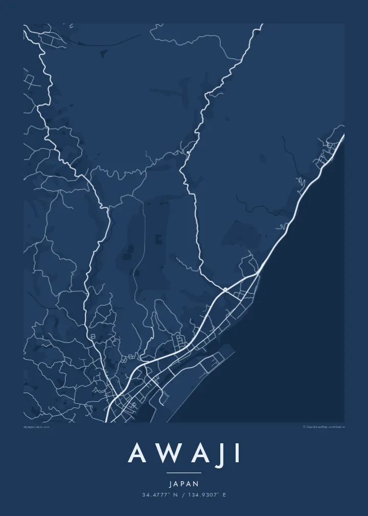
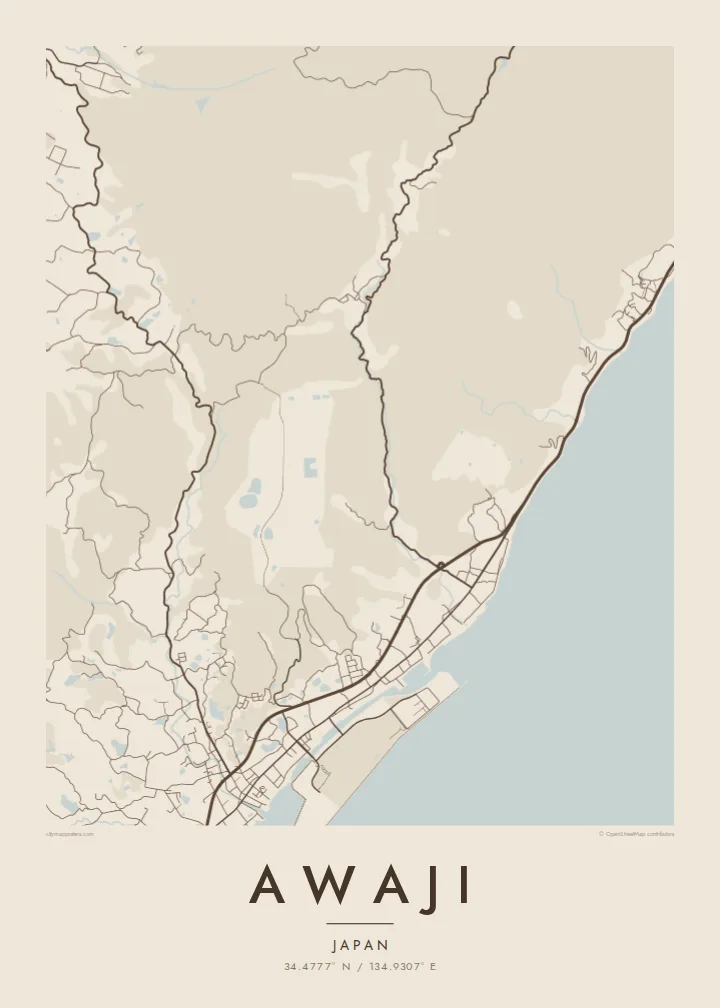
하나의 도시, 다섯 가지 분위기
스타일을 선택하면 벽에 걸린 모습을 볼 수 있어요. 모든 스타일은 인쇄, 액자, HD 파일 어떤 방식이든 가격이 같습니다.
 실제 픽셀 · 24 × 36″ 인쇄 파일
선명한 인쇄 품질
실제 인쇄 파일을 100% 크기로 잘라낸 이미지입니다. 인쇄, 액자, 다운로드 등 모든 포스터는 저희 서버에서 300 DPI, 최대 7,200 × 10,800픽셀로 렌더링되어 24 × 36″ 인쇄물에서도 가장 좁은 골목길까지 선명하게 보입니다.
인테리어 속에서


지도 소개
Awaji city covers much of the northern and central part of Awaji Island, in Hyōgo Prefecture, between Osaka Bay and the Harima Sea. From above, the coast shapes everything. Small harbour towns line both shores, and a spine of low hills in the middle is covered in fields, reservoirs and winding farm roads. The main towns sit wherever the shore flattens out.
At the northern tip, the Akashi Kaikyō Bridge crosses the strait to Kobe. For many years it had the longest central span of any suspension bridge in the world. The island is also where the Nojima Fault broke the surface in the 1995 Great Hanshin earthquake, and part of the rupture is preserved at a memorial museum near the western coast.
Awaji also has a place in Japanese mythology. Old tradition names it as the first land created by the gods Izanagi and Izanami, and a major shrine to Izanagi stands inland. An Awaji map poster brings together deep myth and modern engineering, with the coastline wrapped around quiet agricultural hills.
The bridge from the northern tip toward Kobe is a single, confident line across open water. It is the most striking crossing drawn anywhere on the island's maps.
The Osaka Bay shore and the Harima Sea shore frame the city on either side. Each has its own chain of small ports and coastal roads.
The inland hills are scattered with small irrigation ponds. These old farming reservoirs show up as dozens of pale, irregular shapes among the rural roads.
나만의 포스터로
날짜, 이름 또는 원하는 문구를 추가하고 스타일, 사이즈, 방향을 바꿔 보세요.
무료 미리보기는 저해상도이며 워터마크가 있습니다. 인쇄물과 HD 파일은 300 DPI, 최대 7,200 × 10,800px로 워터마크 없이 렌더링됩니다.
왜 Awaji인가
An island map is naturally complete, with edges drawn by the sea itself. That makes Awaji a strong print for anyone who has crossed the bridge, cycled around the coast or has family roots in one of its harbour towns.
You can add your own title, subtitle and coordinates, and pick Classic black & white, Noir, Paper, Blueprint or Sand. Download the files in six print sizes for $9, or have a matte poster printed by a partner near you, with a wooden frame if you want one.
Awaji 포스터 주문하기| 인쇄 사이즈 | 해상도 | 파일 |
|---|---|---|
| 30 × 40 cm11.8 × 15.7″ | 3,543 × 4,724 px | PNG · PDF |
| 29.7 × 42 cm (A3)11.7 × 16.5″ | 3,508 × 4,961 px | PNG · PDF |
| 42 × 59.4 cm (A2)16.5 × 23.4″ | 4,961 × 7,016 px | PNG · PDF |
| 45.7 × 61 cm18 × 24″ | 5,400 × 7,200 px | PNG · PDF |
| 50 × 70 cm19.7 × 27.6″ | 5,906 × 8,268 px | PNG · PDF |
| 61 × 91.4 cm24 × 36″ | 7,200 × 10,800 px | PNG · PDF |
참고로 무료 미리보기는 가로 900 px에 워터마크가 포함된 화면용 이미지입니다. HD 파일은 가로세로 각각 최대 8배의 해상도로, 포스터 원본 크기로도 깔끔하게 인쇄됩니다.
페이지 상단에서 스타일을 선택한 다음, 인쇄 포스터(사이즈, 원하면 액자까지)나 디지털 HD 파일 중 하나를 고르세요. 결제는 한 단계로 끝나며, 결제가 완료되는 즉시 주문 페이지가 업데이트됩니다.
프리미엄 200 gsm 무광 용지에 인쇄되며, 30 × 40 cm부터 24 × 36″까지 6가지 사이즈 중에서 고를 수 있습니다. 인쇄 포스터는 배송비 포함 $39부터 시작합니다.
네, 가능합니다. 블랙, 화이트, 내추럴 오크, 다크 우드 중 원목 액자를 선택할 수 있습니다. 강화 아크릴이 포함되어 있어 바로 걸 수 있습니다. 액자 포스터는 배송비 포함 $99부터 시작합니다.
60개국 이상으로 무료 배송됩니다. 포스터는 30개국 이상에 있는 제휴 인쇄소 중 가장 가까운 곳에서 인쇄되어 보통 영업일 기준 3~7일 안에 도착합니다. 진행 상황과 배송 추적은 '내 주문'에서 확인하실 수 있습니다. 일부 국가는 2~5주가 걸리며, 아직 배송하지 않는 국가는 결제 전에 사이트에서 안내해 드립니다.
배송 후 14일 이내에 사진을 보내주시면 무료로 재인쇄해 드리거나 환불해 드립니다.
네, 가능합니다. 이 페이지의 편집기에서 제목, 부제목, 좌표 줄을 원하는 대로 바꾸고 스타일과 사이즈를 선택하세요. 인쇄, 액자, 디지털 주문 모두 고객님이 만든 디자인 그대로 제작됩니다.
$9에 300 DPI PNG과 인쇄 가능한 PDF 파일을 6가지 사이즈 모두, 워터마크 없이 받아 어디서든 인쇄할 수 있습니다. 아직 고민 중이시라면 워터마크가 있는 무료 미리보기를 먼저 다운로드해 보세요.
