Portoferraio harbour
A curved bay on the north coast shelters the island's main port, and the fortified old town on its promontory is the densest street pattern on the map.
미니멀 지도 포스터 · 이탈리아
42.7902° N / 10.2733° E
A jagged Tuscan island of deep bays and headlands, with a granite peak in the west and iron mines in the east.

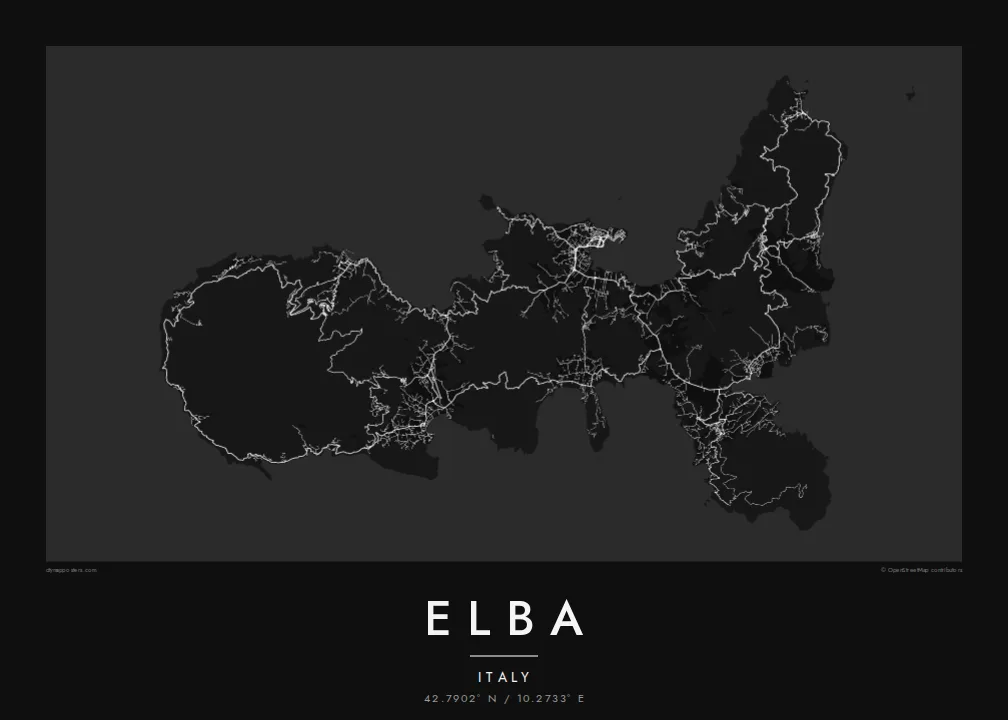
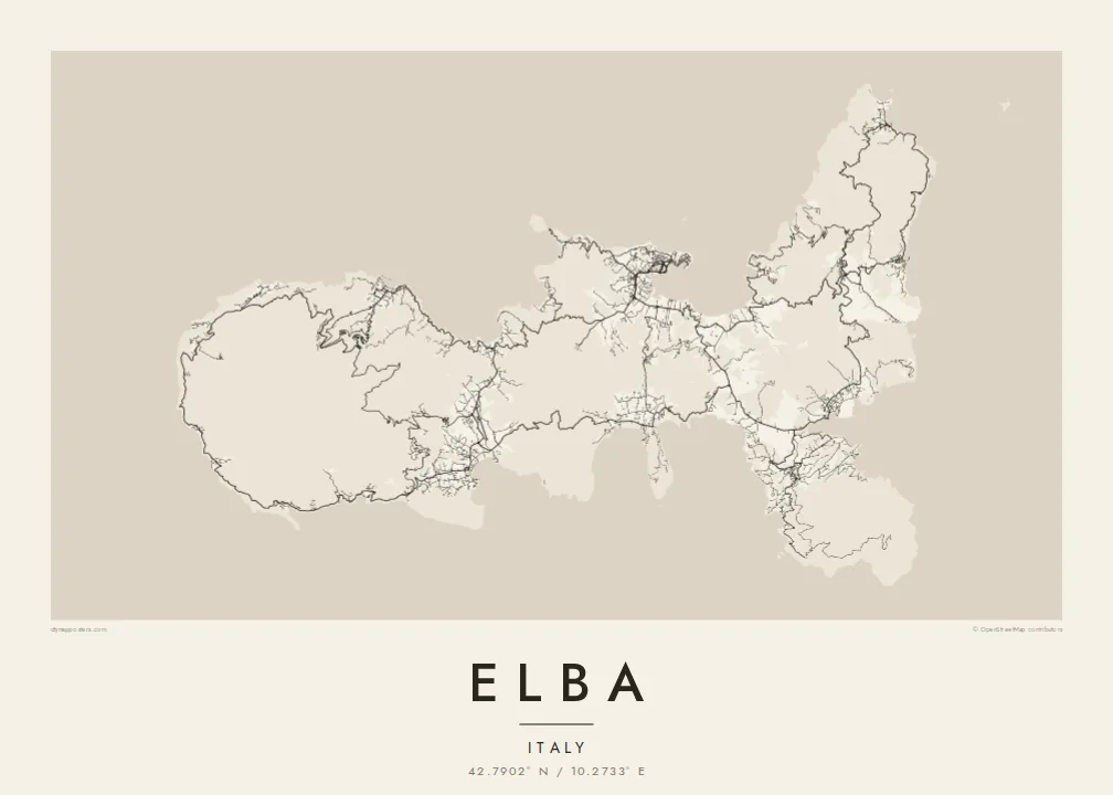


하나의 도시, 다섯 가지 분위기
스타일을 선택하면 벽에 걸린 모습을 볼 수 있어요. 모든 스타일은 인쇄, 액자, HD 파일 어떤 방식이든 가격이 같습니다.
 실제 픽셀 · 24 × 36″ 인쇄 파일
선명한 인쇄 품질
실제 인쇄 파일을 100% 크기로 잘라낸 이미지입니다. 인쇄, 액자, 다운로드 등 모든 포스터는 저희 서버에서 300 DPI, 최대 7,200 × 10,800픽셀로 렌더링되어 24 × 36″ 인쇄물에서도 가장 좁은 골목길까지 선명하게 보입니다.
인테리어 속에서


지도 소개
Elba is the largest island of the Tuscan Archipelago and the third largest in Italy, lying about ten kilometres off the mainland at Piombino. Its outline is unusually irregular, a chain of headlands and deep, rounded bays that make the coastline far longer than the island's size suggests. Monte Capanne, a granite massif, dominates the west, while the east is lower and more broken.
Portoferraio, the main town, sits on a promontory above a sheltered bay on the north coast, enclosed by fortifications laid out under the Medici in the sixteenth century. On an Elba map poster its harbour, walls and bastions form a compact, angular knot, and roads leave it to climb over the hills toward Marciana, Porto Azzurro and Capoliveri.
Napoleon was exiled to Elba in 1814 and ruled the island for about ten months before escaping to France. Long before that, its iron ore was worked by the Etruscans and the Romans, and mining continued in the east into the twentieth century. The old mine workings and the coves between them still mark the eastern shore.
A curved bay on the north coast shelters the island's main port, and the fortified old town on its promontory is the densest street pattern on the map.
The island's highest peak rises in the west, and villages sit on its lower slopes, linked by a winding road that circles the massif close to the coast.
The coastline turns in and out constantly, with wide gulfs such as those at Procchio, Lacona and Porto Azzurro, giving the poster an intricate, lace-like edge.
나만의 포스터로
날짜, 이름 또는 원하는 문구를 추가하고 스타일, 사이즈, 방향을 바꿔 보세요.
무료 미리보기는 저해상도이며 워터마크가 있습니다. 인쇄물과 HD 파일은 300 DPI, 최대 7,200 × 10,800px로 워터마크 없이 렌더링됩니다.
왜 Elba인가
Elba is a summer island for many Italians and a sailing destination for people from across Europe. Its intricate coastline gives the poster a great deal to look at, and the whole island fits comfortably in a single frame.
Add a title, a subtitle for the year of a summer or the name of a bay, and your own coordinates line. Five styles are available, with Paper and Sand for a warmer print and Blueprint for a nautical feel. The $9 files cover six print sizes.
Elba 포스터 주문하기| 인쇄 사이즈 | 해상도 | 파일 |
|---|---|---|
| 30 × 40 cm (11.8 × 15.7″) | 3,543 × 4,724 px | PNG · PDF |
| 29.7 × 42 cm (A3, 11.7 × 16.5″) | 3,508 × 4,961 px | PNG · PDF |
| 42 × 59.4 cm (A2, 16.5 × 23.4″) | 4,961 × 7,016 px | PNG · PDF |
| 45.7 × 61 cm (18 × 24″) | 5,400 × 7,200 px | PNG · PDF |
| 50 × 70 cm (19.7 × 27.6″) | 5,906 × 8,268 px | PNG · PDF |
| 61 × 91.4 cm (24 × 36″) | 7,200 × 10,800 px | PNG · PDF |
참고로 무료 미리보기는 가로 900 px에 워터마크가 포함된 화면용 이미지입니다. HD 파일은 가로세로 각각 최대 8배의 해상도로, 포스터 원본 크기로도 깔끔하게 인쇄됩니다.
페이지 상단에서 스타일을 선택한 다음, 인쇄 포스터(사이즈, 원하면 액자까지)나 디지털 HD 파일 중 하나를 고르세요. 결제는 한 단계로 끝나며, 결제가 완료되는 즉시 주문 페이지가 업데이트됩니다.
프리미엄 200 gsm 무광 용지에 인쇄되며, 30 × 40 cm부터 24 × 36″까지 6가지 사이즈 중에서 고를 수 있습니다. 인쇄 포스터는 배송비 포함 {printFrom}부터 시작합니다.
네, 가능합니다. 블랙, 화이트, 내추럴 오크, 다크 우드 중 원목 액자를 선택할 수 있습니다. 강화 아크릴이 포함되어 있어 바로 걸 수 있습니다. 액자 포스터는 배송비 포함 {framedFrom}부터 시작합니다.
배송비는 전 세계 무료입니다. 포스터는 30개국 이상에 있는 제작 파트너 중 가장 가까운 곳에서 인쇄되며, 보통 영업일 기준 3~7일 안에 도착합니다. 진행 상황과 배송 조회는 '내 주문'에서 확인하실 수 있습니다. 일부 국가는 2~5주가 걸리고, 아직 배송하지 않는 국가는 결제 전에 사이트에서 안내해 드립니다.
배송 후 14일 이내에 사진을 보내주시면 무료로 재인쇄해 드리거나 환불해 드립니다.
네, 가능합니다. 이 페이지의 편집기에서 제목, 부제목, 좌표 줄을 원하는 대로 바꾸고 스타일과 사이즈를 선택하세요. 인쇄, 액자, 디지털 주문 모두 고객님이 만든 디자인 그대로 제작됩니다.
$9에 300 DPI PNG과 인쇄 가능한 PDF 파일을 6가지 사이즈 모두, 워터마크 없이 받아 어디서든 인쇄할 수 있습니다. 아직 고민 중이시라면 워터마크가 있는 무료 미리보기를 먼저 다운로드해 보세요.
