Ohio River bluffs
The city's northern edge drops toward the Ohio River, where the dense street pattern gives way to wooded slopes and the wide, gently curving water.
미니멀 지도 포스터 · 미국
39.0751° N / 84.4472° W
A hilltop suburb on the Kentucky bluffs above the Ohio River, with wooded ravines between its winding streets.


하나의 도시, 다섯 가지 분위기
스타일을 선택하면 벽에 걸린 모습을 볼 수 있어요. 모든 스타일은 인쇄, 액자, HD 파일 어떤 방식이든 가격이 같습니다.
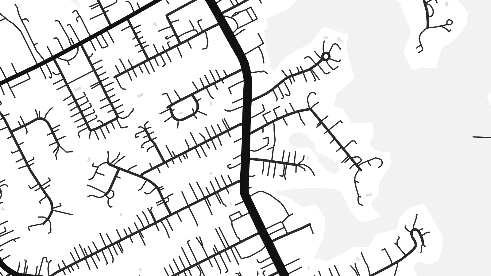 실제 픽셀 · 24 × 36″ 인쇄 파일
선명한 인쇄 품질
실제 인쇄 파일을 100% 크기로 잘라낸 이미지입니다. 인쇄, 액자, 다운로드 등 모든 포스터는 저희 서버에서 300 DPI, 최대 7,200 × 10,800픽셀로 렌더링되어 24 × 36″ 인쇄물에서도 가장 좁은 골목길까지 선명하게 보입니다.
인테리어 속에서


지도 소개
Fort Thomas is a city in Campbell County, Kentucky, on high ground above the south bank of the Ohio River, across from the east side of Cincinnati. The terrain shapes its street pattern. Main roads run along the ridges, while residential streets curve with the contours and stop at the edges of steep, wooded ravines that run down toward the river.
The city takes its name from a US Army post established here in the late nineteenth century and named after the Civil War general George H. Thomas. Part of the former post is now a public park, and a stone water tower from the military era still stands as a local landmark. The city later grew into a largely residential community.
Near the river the land drops sharply, and the map shows fewer streets there, with the broad line of the Ohio and the Cincinnati riverbank beyond. A Fort Thomas map poster pairs the tidy suburban streets on the ridge with that open water, so the composition keeps a strong sense of height even in flat black and white.
The city's northern edge drops toward the Ohio River, where the dense street pattern gives way to wooded slopes and the wide, gently curving water.
The grounds of the old military post, now largely parkland, show as open space among the residential streets, a reminder of how the city got its name.
Main roads follow the high ground, and side streets curve with the hills, producing a layout of long lines and soft bends rather than a strict grid.
나만의 포스터로
날짜, 이름 또는 원하는 문구를 추가하고 스타일, 사이즈, 방향을 바꿔 보세요.
무료 미리보기는 저해상도이며 워터마크가 있습니다. 인쇄물과 HD 파일은 300 DPI, 최대 7,200 × 10,800px로 워터마크 없이 렌더링됩니다.
왜 Fort Thomas인가
Fort Thomas residents tend to be attached to their neighbourhoods, their schools and their views of the river. A map of the city is a thoughtful way to mark where you live or grew up, clean enough for a modern interior yet rooted in one specific place.
Personalise the title, subtitle and coordinates line with a name or a date, and choose one of five styles: Classic black & white, Noir, Paper, Blueprint or Sand. The digital version costs $9 for six sizes with no watermark, and a printed matte poster can arrive framed.
Fort Thomas 포스터 주문하기| 인쇄 사이즈 | 해상도 | 파일 |
|---|---|---|
| 30 × 40 cm11.8 × 15.7″ | 3,543 × 4,724 px | PNG · PDF |
| 29.7 × 42 cm (A3)11.7 × 16.5″ | 3,508 × 4,961 px | PNG · PDF |
| 42 × 59.4 cm (A2)16.5 × 23.4″ | 4,961 × 7,016 px | PNG · PDF |
| 45.7 × 61 cm18 × 24″ | 5,400 × 7,200 px | PNG · PDF |
| 50 × 70 cm19.7 × 27.6″ | 5,906 × 8,268 px | PNG · PDF |
| 61 × 91.4 cm24 × 36″ | 7,200 × 10,800 px | PNG · PDF |
참고로 무료 미리보기는 가로 900 px에 워터마크가 포함된 화면용 이미지입니다. HD 파일은 가로세로 각각 최대 8배의 해상도로, 포스터 원본 크기로도 깔끔하게 인쇄됩니다.
페이지 상단에서 스타일을 선택한 다음, 인쇄 포스터(사이즈, 원하면 액자까지)나 디지털 HD 파일 중 하나를 고르세요. 결제는 한 단계로 끝나며, 결제가 완료되는 즉시 주문 페이지가 업데이트됩니다.
프리미엄 200 gsm 무광 용지에 인쇄되며, 30 × 40 cm부터 24 × 36″까지 6가지 사이즈 중에서 고를 수 있습니다. 인쇄 포스터는 배송비 포함 $39부터 시작합니다.
네, 가능합니다. 블랙, 화이트, 내추럴 오크, 다크 우드 중 원목 액자를 선택할 수 있습니다. 강화 아크릴이 포함되어 있어 바로 걸 수 있습니다. 액자 포스터는 배송비 포함 $99부터 시작합니다.
60개국 이상으로 무료 배송됩니다. 포스터는 30개국 이상에 있는 제휴 인쇄소 중 가장 가까운 곳에서 인쇄되어 보통 영업일 기준 3~7일 안에 도착합니다. 진행 상황과 배송 추적은 '내 주문'에서 확인하실 수 있습니다. 일부 국가는 2~5주가 걸리며, 아직 배송하지 않는 국가는 결제 전에 사이트에서 안내해 드립니다.
배송 후 14일 이내에 사진을 보내주시면 무료로 재인쇄해 드리거나 환불해 드립니다.
네, 가능합니다. 이 페이지의 편집기에서 제목, 부제목, 좌표 줄을 원하는 대로 바꾸고 스타일과 사이즈를 선택하세요. 인쇄, 액자, 디지털 주문 모두 고객님이 만든 디자인 그대로 제작됩니다.
$9에 300 DPI PNG과 인쇄 가능한 PDF 파일을 6가지 사이즈 모두, 워터마크 없이 받아 어디서든 인쇄할 수 있습니다. 아직 고민 중이시라면 워터마크가 있는 무료 미리보기를 먼저 다운로드해 보세요.
