Route 40 axis
Argentina's best-known highway runs through the town as a single strong line, organising the grid around it and continuing north and south across open country.
미니멀 지도 포스터 · 아르헨티나
35.4779° S / 69.5852° W
A compact grid on a high, open plain, threaded by Ruta 40 and set against the first folds of the Andes


하나의 도시, 다섯 가지 분위기
스타일을 선택하면 벽에 걸린 모습을 볼 수 있어요. 모든 스타일은 인쇄, 액자, HD 파일 어떤 방식이든 가격이 같습니다.
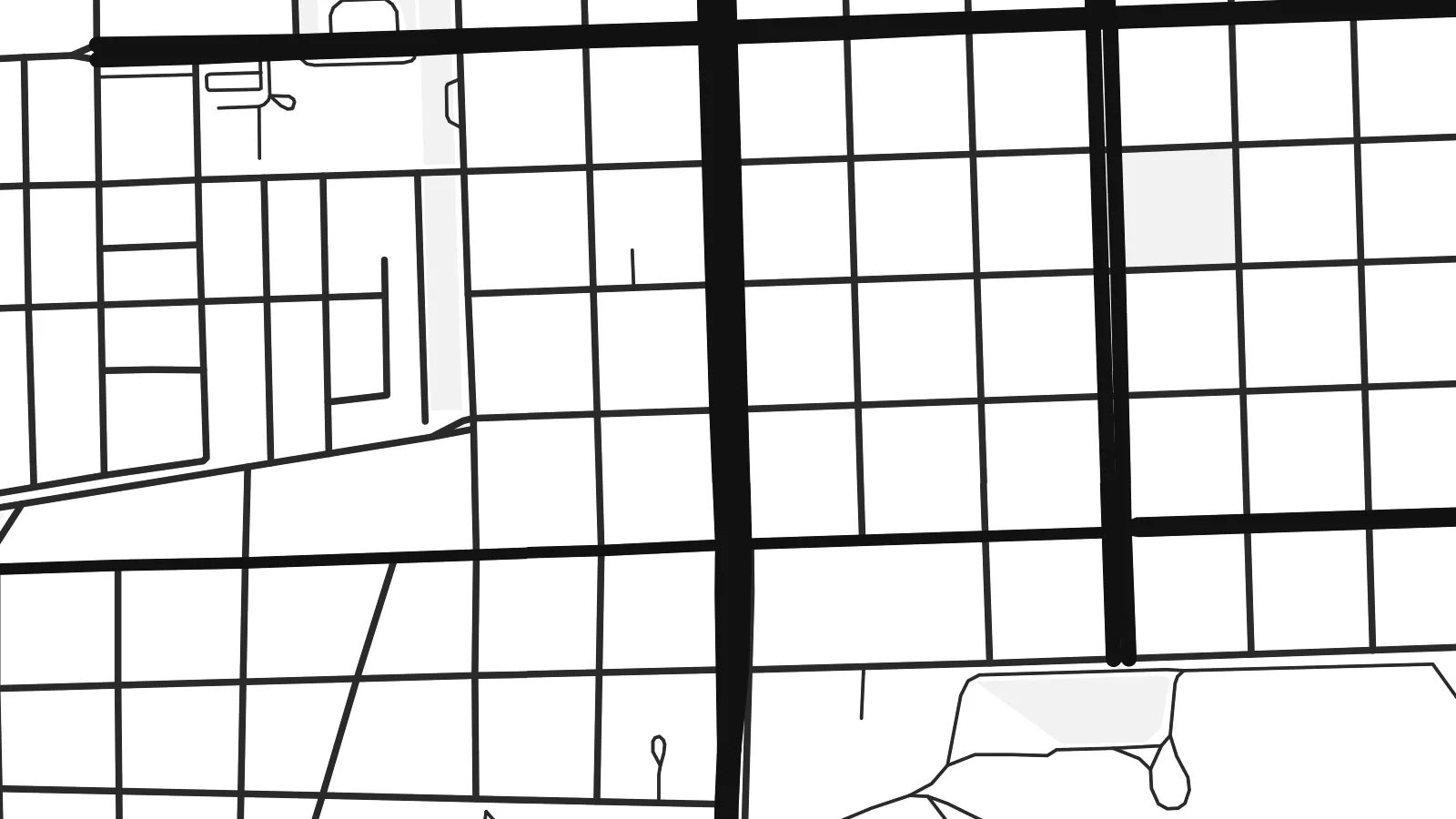 실제 픽셀 · 24 × 36″ 인쇄 파일
선명한 인쇄 품질
실제 인쇄 파일을 100% 크기로 잘라낸 이미지입니다. 인쇄, 액자, 다운로드 등 모든 포스터는 저희 서버에서 300 DPI, 최대 7,200 × 10,800픽셀로 렌더링되어 24 × 36″ 인쇄물에서도 가장 좁은 골목길까지 선명하게 보입니다.
인테리어 속에서


지도 소개
Malargüe sits in the far south of Mendoza province, on a dry plain at the foot of the Andes. From above it reads as a tidy block of streets surrounded by open ground. The pattern is short and regular, and it ends abruptly where the town gives way to scrub, gravel and the long lines of the roads heading out.
National Route 40, the highway that runs the length of western Argentina, passes straight through the town and gives the map a clear spine. The Malargüe River runs nearby, and irrigated plots show up as a loose fringe of parcels along its course. Past these edges the land is mostly empty, and the eye moves toward the mountains to the west.
A Malargüe map poster shows a frontier town at small scale: a few dozen blocks, one major highway and a lot of surrounding space. Malargüe is known well beyond its size as the base of the Pierre Auger Observatory, which studies cosmic rays across the surrounding plain. It is also the usual gateway to the Las Leñas ski area and the volcanic landscapes of the department.
Argentina's best-known highway runs through the town as a single strong line, organising the grid around it and continuing north and south across open country.
A modest checkerboard of blocks forms the core of the town, compact and evenly spaced, with its edges clearly drawn against the undeveloped plain.
The Malargüe River and its irrigated margins add a softer, irregular texture beside the grid, set against the wide, sparsely marked land of the Andean foothills.
나만의 포스터로
날짜, 이름 또는 원하는 문구를 추가하고 스타일, 사이즈, 방향을 바꿔 보세요.
무료 미리보기는 저해상도이며 워터마크가 있습니다. 인쇄물과 HD 파일은 300 DPI, 최대 7,200 × 10,800px로 워터마크 없이 렌더링됩니다.
왜 Malargüe인가
Malargüe tends to mean something specific to the people who know it: a winter season in the mountains, a stretch of Route 40, research years at the observatory or a home at the edge of the Andes. A plain map of its streets keeps that place close without explaining it.
You can personalise the title, subtitle and coordinates line with a name, a date or a note of your own, and choose from Classic black & white, Noir, Paper, Blueprint or Sand. Buy it as HD digital files for $9, or as a printed poster with an optional wooden frame.
Malargüe 포스터 주문하기| 인쇄 사이즈 | 해상도 | 파일 |
|---|---|---|
| 30 × 40 cm (11.8 × 15.7″) | 3,543 × 4,724 px | PNG · PDF |
| 29.7 × 42 cm (A3, 11.7 × 16.5″) | 3,508 × 4,961 px | PNG · PDF |
| 42 × 59.4 cm (A2, 16.5 × 23.4″) | 4,961 × 7,016 px | PNG · PDF |
| 45.7 × 61 cm (18 × 24″) | 5,400 × 7,200 px | PNG · PDF |
| 50 × 70 cm (19.7 × 27.6″) | 5,906 × 8,268 px | PNG · PDF |
| 61 × 91.4 cm (24 × 36″) | 7,200 × 10,800 px | PNG · PDF |
참고로 무료 미리보기는 가로 900 px에 워터마크가 포함된 화면용 이미지입니다. HD 파일은 가로세로 각각 최대 8배의 해상도로, 포스터 원본 크기로도 깔끔하게 인쇄됩니다.
페이지 상단에서 스타일을 선택한 다음, 인쇄 포스터(사이즈, 원하면 액자까지)나 디지털 HD 파일 중 하나를 고르세요. 결제는 한 단계로 끝나며, 결제가 완료되는 즉시 주문 페이지가 업데이트됩니다.
프리미엄 200 gsm 무광 용지에 인쇄되며, 30 × 40 cm부터 24 × 36″까지 6가지 사이즈 중에서 고를 수 있습니다. 인쇄 포스터는 배송비 포함 $39부터 시작합니다.
네, 가능합니다. 블랙, 화이트, 내추럴 오크, 다크 우드 중 원목 액자를 선택할 수 있습니다. 강화 아크릴이 포함되어 있어 바로 걸 수 있습니다. 액자 포스터는 배송비 포함 $99부터 시작합니다.
배송비는 전 세계 무료입니다. 포스터는 30개국 이상에 있는 제작 파트너 중 가장 가까운 곳에서 인쇄되며, 보통 영업일 기준 3~7일 안에 도착합니다. 진행 상황과 배송 조회는 '내 주문'에서 확인하실 수 있습니다. 일부 국가는 2~5주가 걸리고, 아직 배송하지 않는 국가는 결제 전에 사이트에서 안내해 드립니다.
배송 후 14일 이내에 사진을 보내주시면 무료로 재인쇄해 드리거나 환불해 드립니다.
네, 가능합니다. 이 페이지의 편집기에서 제목, 부제목, 좌표 줄을 원하는 대로 바꾸고 스타일과 사이즈를 선택하세요. 인쇄, 액자, 디지털 주문 모두 고객님이 만든 디자인 그대로 제작됩니다.
$9에 300 DPI PNG과 인쇄 가능한 PDF 파일을 6가지 사이즈 모두, 워터마크 없이 받아 어디서든 인쇄할 수 있습니다. 아직 고민 중이시라면 워터마크가 있는 무료 미리보기를 먼저 다운로드해 보세요.
