Yahagi River
A wide river running down the western side of the city, with long bridges across it. On the map it gives the whole layout a strong vertical edge.
미니멀 지도 포스터 · 일본
34.9500° N / 137.1667° E
A castle town on the Yahagi River, where the old Tokaido road bends through low hills and dense Aichi neighbourhoods.

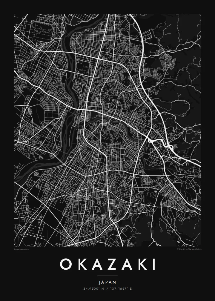

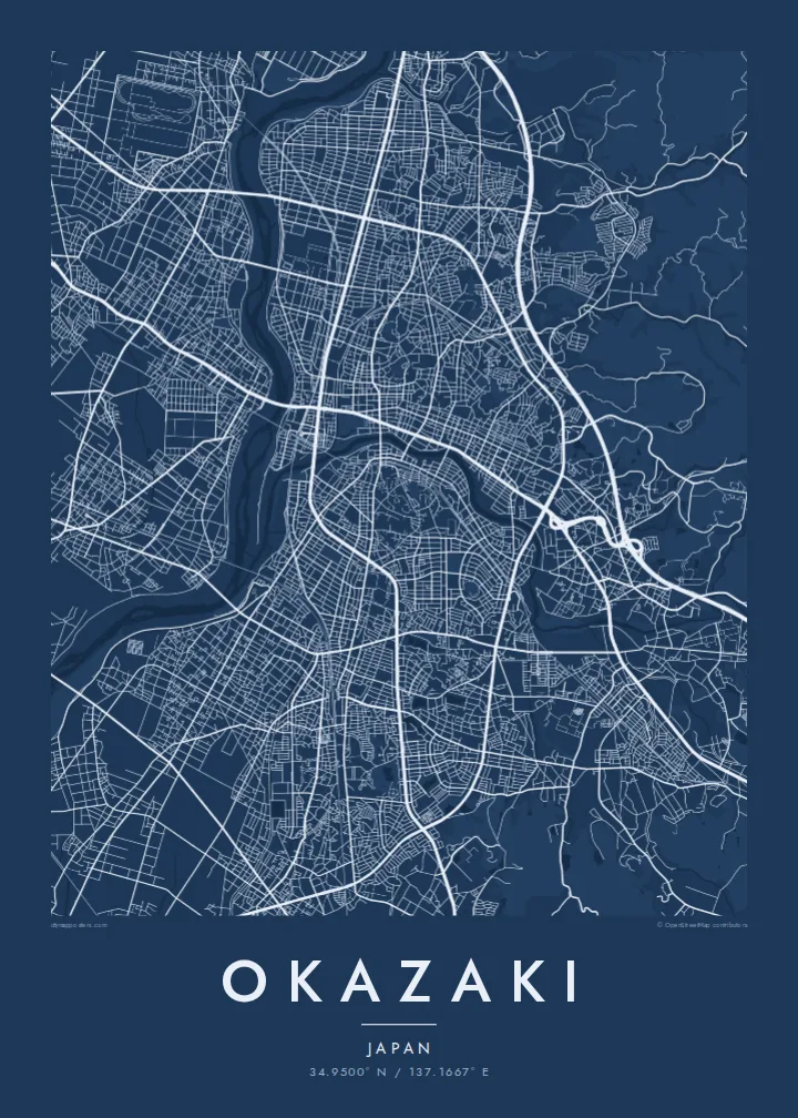

하나의 도시, 다섯 가지 분위기
스타일을 선택하면 벽에 걸린 모습을 볼 수 있어요. 모든 스타일은 인쇄, 액자, HD 파일 어떤 방식이든 가격이 같습니다.
 실제 픽셀 · 24 × 36″ 인쇄 파일
선명한 인쇄 품질
실제 인쇄 파일을 100% 크기로 잘라낸 이미지입니다. 인쇄, 액자, 다운로드 등 모든 포스터는 저희 서버에서 300 DPI, 최대 7,200 × 10,800픽셀로 렌더링되어 24 × 36″ 인쇄물에서도 가장 좁은 골목길까지 선명하게 보입니다.
인테리어 속에서


지도 소개
From above, Okazaki reads as a meeting of waters. The Yahagi River runs broadly north to south along the western side of the city, and the smaller Oto River threads east to west to join it. The historic core sits close to where they meet, around the grounds of Okazaki Castle. Newer districts spread outward across the flatter land and climb gradually into wooded hills to the east.
Okazaki is best known as the birthplace of Tokugawa Ieyasu, the founder of the shogunate that governed Japan for over two and a half centuries. The rebuilt castle keep stands in Okazaki Park, whose moats and green space show clearly on a detailed map. The town also grew as a post station on the Tokaido, the old highway linking Edo and Kyoto.
A Okazaki map poster shows how tightly the city is arranged along its rivers. Rail lines and main roads follow the valley floors, and small residential blocks fill the spaces between them. Farther out, the street pattern loosens into looping roads that follow the contours of the hills. In black and white, the pale river channels stand out against the fine grain of streets.
A wide river running down the western side of the city, with long bridges across it. On the map it gives the whole layout a strong vertical edge.
The castle grounds near the rivers' confluence, with moats and open lawns. They form a quiet green space at the centre of the old town.
East of the centre the grid breaks up into winding lanes and wooded slopes, so the dense city gives way to open land.
나만의 포스터로
날짜, 이름 또는 원하는 문구를 추가하고 스타일, 사이즈, 방향을 바꿔 보세요.
무료 미리보기는 저해상도이며 워터마크가 있습니다. 인쇄물과 HD 파일은 300 DPI, 최대 7,200 × 10,800px로 워터마크 없이 렌더링됩니다.
왜 Okazaki인가
For people from Okazaki, the map is a way to keep the rivers, the castle park and familiar neighbourhoods on the wall. It also works as a quiet nod to Japanese history for anyone who has walked the old Tokaido route through the town.
You can personalise the title, subtitle and coordinates line, for example with a family name or a date that matters. Then choose one of five styles: Classic black & white, Noir, Paper, Blueprint or Sand.
Okazaki 포스터 주문하기| 인쇄 사이즈 | 해상도 | 파일 |
|---|---|---|
| 30 × 40 cm (11.8 × 15.7″) | 3,543 × 4,724 px | PNG · PDF |
| 29.7 × 42 cm (A3, 11.7 × 16.5″) | 3,508 × 4,961 px | PNG · PDF |
| 42 × 59.4 cm (A2, 16.5 × 23.4″) | 4,961 × 7,016 px | PNG · PDF |
| 45.7 × 61 cm (18 × 24″) | 5,400 × 7,200 px | PNG · PDF |
| 50 × 70 cm (19.7 × 27.6″) | 5,906 × 8,268 px | PNG · PDF |
| 61 × 91.4 cm (24 × 36″) | 7,200 × 10,800 px | PNG · PDF |
참고로 무료 미리보기는 가로 900 px에 워터마크가 포함된 화면용 이미지입니다. HD 파일은 가로세로 각각 최대 8배의 해상도로, 포스터 원본 크기로도 깔끔하게 인쇄됩니다.
페이지 상단에서 스타일을 선택한 다음, 인쇄 포스터(사이즈, 원하면 액자까지)나 디지털 HD 파일 중 하나를 고르세요. 결제는 한 단계로 끝나며, 결제가 완료되는 즉시 주문 페이지가 업데이트됩니다.
프리미엄 200 gsm 무광 용지에 인쇄되며, 30 × 40 cm부터 24 × 36″까지 6가지 사이즈 중에서 고를 수 있습니다. 인쇄 포스터는 배송비 포함 {printFrom}부터 시작합니다.
네, 가능합니다. 블랙, 화이트, 내추럴 오크, 다크 우드 중 원목 액자를 선택할 수 있습니다. 강화 아크릴이 포함되어 있어 바로 걸 수 있습니다. 액자 포스터는 배송비 포함 {framedFrom}부터 시작합니다.
배송비는 전 세계 무료입니다. 포스터는 30개국 이상에 있는 제작 파트너 중 가장 가까운 곳에서 인쇄되며, 보통 영업일 기준 3~7일 안에 도착합니다. 진행 상황과 배송 조회는 '내 주문'에서 확인하실 수 있습니다. 일부 국가는 2~5주가 걸리고, 아직 배송하지 않는 국가는 결제 전에 사이트에서 안내해 드립니다.
배송 후 14일 이내에 사진을 보내주시면 무료로 재인쇄해 드리거나 환불해 드립니다.
네, 가능합니다. 이 페이지의 편집기에서 제목, 부제목, 좌표 줄을 원하는 대로 바꾸고 스타일과 사이즈를 선택하세요. 인쇄, 액자, 디지털 주문 모두 고객님이 만든 디자인 그대로 제작됩니다.
$9에 300 DPI PNG과 인쇄 가능한 PDF 파일을 6가지 사이즈 모두, 워터마크 없이 받아 어디서든 인쇄할 수 있습니다. 아직 고민 중이시라면 워터마크가 있는 무료 미리보기를 먼저 다운로드해 보세요.
