Highway 307
The main road runs a short way inland, almost parallel to the coast. It is a single strong line with short spurs leading down to the beaches and resorts.
미니멀 지도 포스터 · 멕시코
20.5805° N / 87.1175° W
A long Caribbean shoreline of beaches and reef, running south from Cancún with one highway parallel to the sea
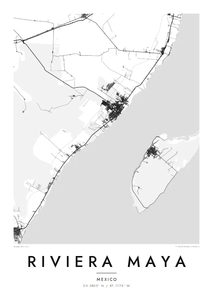


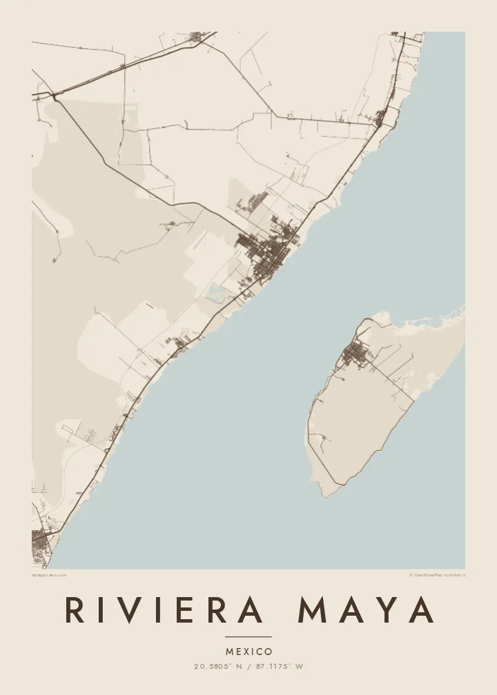
하나의 도시, 다섯 가지 분위기
스타일을 선택하면 벽에 걸린 모습을 볼 수 있어요. 모든 스타일은 인쇄, 액자, HD 파일 어떤 방식이든 가격이 같습니다.
 실제 픽셀 · 24 × 36″ 인쇄 파일
선명한 인쇄 품질
실제 인쇄 파일을 100% 크기로 잘라낸 이미지입니다. 인쇄, 액자, 다운로드 등 모든 포스터는 저희 서버에서 300 DPI, 최대 7,200 × 10,800픽셀로 렌더링되어 24 × 36″ 인쇄물에서도 가장 좁은 골목길까지 선명하게 보입니다.
인테리어 속에서


지도 소개
The Riviera Maya follows the Caribbean coast of the Mexican state of Quintana Roo, usually counted from just south of Cancún down to Tulum and beyond. The land here is flat limestone with almost no rivers on the surface, so the map looks strikingly simple: a long, gently curving coastline, with Federal Highway 307 running a little inland and almost parallel to it.
The water moves underground instead, through large cave systems that open up as cenotes, sinkholes scattered through the forest. Offshore, the Mesoamerican Barrier Reef follows the coast, and the island of Cozumel lies across a channel from Playa del Carmen. At Tulum, the ruins of a walled Maya city stand on a cliff directly above the sea.
A Riviera Maya map poster captures this linear structure. Playa del Carmen's street grid spreads out from the ferry pier, access roads to the resorts branch toward the beaches like the teeth of a comb, and lagoons and small bays break the shoreline here and there. Where the frame reaches it, Cozumel appears as a large shape offshore.
The main road runs a short way inland, almost parallel to the coast. It is a single strong line with short spurs leading down to the beaches and resorts.
The walled Maya site sits on a low cliff above the Caribbean, a small enclosure on the shore to the east of the modern town.
Across a strait from Playa del Carmen lies Cozumel, Mexico's largest Caribbean island, with its town of San Miguel facing the mainland.
나만의 포스터로
날짜, 이름 또는 원하는 문구를 추가하고 스타일, 사이즈, 방향을 바꿔 보세요.
무료 미리보기는 저해상도이며 워터마크가 있습니다. 인쇄물과 HD 파일은 300 DPI, 최대 7,200 × 10,800px로 워터마크 없이 렌더링됩니다.
왜 Riviera Maya인가
Many couples marry on these beaches, and many travellers return to the same stretch of sand year after year. Put names in the title and the date in the subtitle, and move the coordinates to the resort, cenote or beach you remember.
Sand and Paper give the coast a soft, sunlit tone, while Blueprint and Noir bring out the clean geometry of road and shore. Classic black & white is also available. The $9 download includes six print sizes, with no watermark.
Riviera Maya 포스터 주문하기| 인쇄 사이즈 | 해상도 | 파일 |
|---|---|---|
| 30 × 40 cm11.8 × 15.7″ | 3,543 × 4,724 px | PNG · PDF |
| 29.7 × 42 cm (A3)11.7 × 16.5″ | 3,508 × 4,961 px | PNG · PDF |
| 42 × 59.4 cm (A2)16.5 × 23.4″ | 4,961 × 7,016 px | PNG · PDF |
| 45.7 × 61 cm18 × 24″ | 5,400 × 7,200 px | PNG · PDF |
| 50 × 70 cm19.7 × 27.6″ | 5,906 × 8,268 px | PNG · PDF |
| 61 × 91.4 cm24 × 36″ | 7,200 × 10,800 px | PNG · PDF |
참고로 무료 미리보기는 가로 900 px에 워터마크가 포함된 화면용 이미지입니다. HD 파일은 가로세로 각각 최대 8배의 해상도로, 포스터 원본 크기로도 깔끔하게 인쇄됩니다.
페이지 상단에서 스타일을 선택한 다음, 인쇄 포스터(사이즈, 원하면 액자까지)나 디지털 HD 파일 중 하나를 고르세요. 결제는 한 단계로 끝나며, 결제가 완료되는 즉시 주문 페이지가 업데이트됩니다.
프리미엄 200 gsm 무광 용지에 인쇄되며, 30 × 40 cm부터 24 × 36″까지 6가지 사이즈 중에서 고를 수 있습니다. 인쇄 포스터는 배송비 포함 $39부터 시작합니다.
네, 가능합니다. 블랙, 화이트, 내추럴 오크, 다크 우드 중 원목 액자를 선택할 수 있습니다. 강화 아크릴이 포함되어 있어 바로 걸 수 있습니다. 액자 포스터는 배송비 포함 $99부터 시작합니다.
60개국 이상으로 무료 배송됩니다. 포스터는 30개국 이상에 있는 제휴 인쇄소 중 가장 가까운 곳에서 인쇄되어 보통 영업일 기준 3~7일 안에 도착합니다. 진행 상황과 배송 추적은 '내 주문'에서 확인하실 수 있습니다. 일부 국가는 2~5주가 걸리며, 아직 배송하지 않는 국가는 결제 전에 사이트에서 안내해 드립니다.
배송 후 14일 이내에 사진을 보내주시면 무료로 재인쇄해 드리거나 환불해 드립니다.
네, 가능합니다. 이 페이지의 편집기에서 제목, 부제목, 좌표 줄을 원하는 대로 바꾸고 스타일과 사이즈를 선택하세요. 인쇄, 액자, 디지털 주문 모두 고객님이 만든 디자인 그대로 제작됩니다.
$9에 300 DPI PNG과 인쇄 가능한 PDF 파일을 6가지 사이즈 모두, 워터마크 없이 받아 어디서든 인쇄할 수 있습니다. 아직 고민 중이시라면 워터마크가 있는 무료 미리보기를 먼저 다운로드해 보세요.
