The Congo estuary
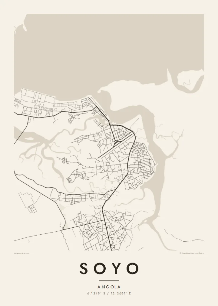
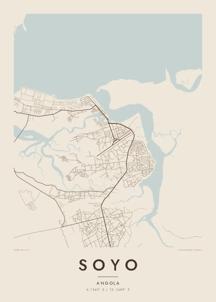
The wide mouth of the Congo dominates the northern side of the map, a broad expanse of water that marks the border between Angola and the Democratic Republic of the Congo.
미니멀 지도 포스터 · 앙골라
6.1349° S / 12.3689° E
A low-lying town at the mouth of the Congo River, where estuary channels, mangrove islands and the Atlantic coast converge.



하나의 도시, 다섯 가지 분위기
스타일을 선택하면 벽에 걸린 모습을 볼 수 있어요. 모든 스타일은 인쇄, 액자, HD 파일 어떤 방식이든 가격이 같습니다.
 실제 픽셀 · 24 × 36″ 인쇄 파일
선명한 인쇄 품질
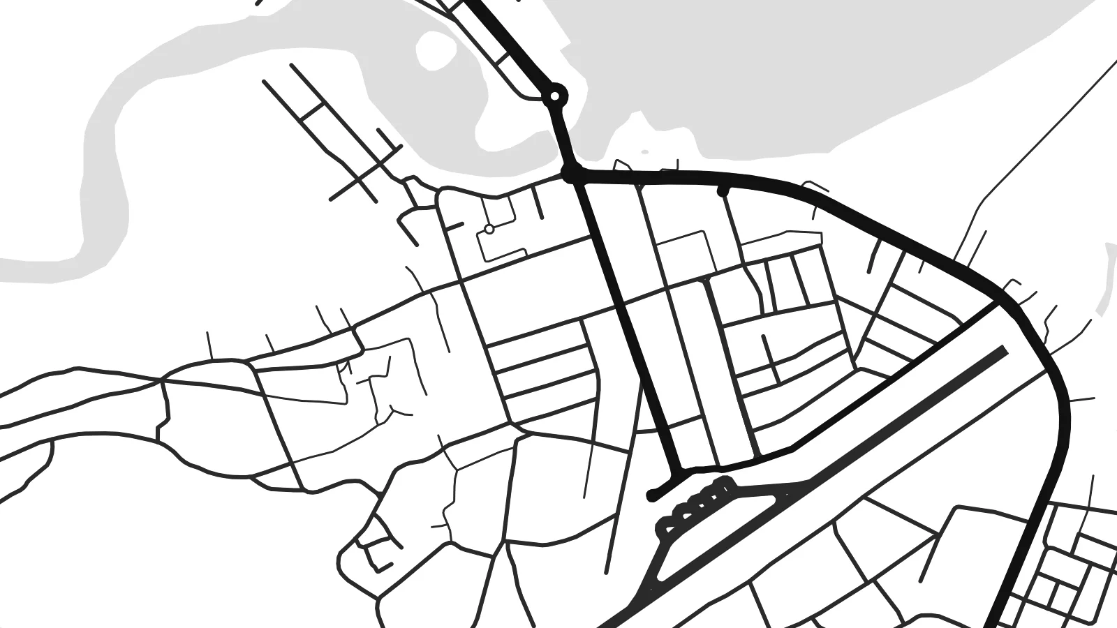
실제 인쇄 파일을 100% 크기로 잘라낸 이미지입니다. 인쇄, 액자, 다운로드 등 모든 포스터는 저희 서버에서 300 DPI, 최대 7,200 × 10,800픽셀로 렌더링되어 24 × 36″ 인쇄물에서도 가장 좁은 골목길까지 선명하게 보입니다.
인테리어 속에서


지도 소개
Soyo stands on the southern bank of the Congo estuary in northern Angola, on flat ground where the river meets the Atlantic. The map here is shaped as much by water as by streets: branching channels, low islands and creeks spread across the landscape, and the town's road network sits on the firmer land between them, reaching toward the shore.
The Congo is one of the world's largest rivers by discharge, and its mouth has long been a landmark for sailors. In 1482 the Portuguese navigator Diogo Cão reached the estuary and set up a stone pillar, or padrão, on the nearby point that still carries the name Ponta do Padrão. The coast around Soyo was part of the historic Kingdom of Kongo.
In recent decades Soyo has grown as a centre of Angola's oil and gas industry, with an LNG plant and industrial installations on the coast. A Soyo map poster sets the town against its setting, where the fine lines of streets give way to the irregular outlines of a vast river mouth on the edge of the ocean.
The wide mouth of the Congo dominates the northern side of the map, a broad expanse of water that marks the border between Angola and the Democratic Republic of the Congo.
Creeks and side channels cut the low ground into irregular shapes, so the land itself looks like a puzzle of islands threaded between the town and the river.
To the west the land meets the open ocean along a fairly straight coast, a clean edge that contrasts with the ragged outlines of the estuary.
나만의 포스터로
날짜, 이름 또는 원하는 문구를 추가하고 스타일, 사이즈, 방향을 바꿔 보세요.
무료 미리보기는 저해상도이며 워터마크가 있습니다. 인쇄물과 HD 파일은 300 DPI, 최대 7,200 × 10,800px로 워터마크 없이 렌더링됩니다.
왜 Soyo인가
For people who have worked in Soyo's energy sector, or families from Zaire province, this map records a place defined by its river. The interplay of water and land makes an unusual, almost abstract print for a home or office.
Personalise the title and subtitle, perhaps with the years spent there, and choose Classic black & white, Noir, Paper, Blueprint or Sand. The digital download costs $9 and includes six sizes, from 30×40 cm to 24×36″, without a watermark.
Soyo 포스터 주문하기| 인쇄 사이즈 | 해상도 | 파일 |
|---|---|---|
| 30 × 40 cm (11.8 × 15.7″) | 3,543 × 4,724 px | PNG · PDF |
| 29.7 × 42 cm (A3, 11.7 × 16.5″) | 3,508 × 4,961 px | PNG · PDF |
| 42 × 59.4 cm (A2, 16.5 × 23.4″) | 4,961 × 7,016 px | PNG · PDF |
| 45.7 × 61 cm (18 × 24″) | 5,400 × 7,200 px | PNG · PDF |
| 50 × 70 cm (19.7 × 27.6″) | 5,906 × 8,268 px | PNG · PDF |
| 61 × 91.4 cm (24 × 36″) | 7,200 × 10,800 px | PNG · PDF |
참고로 무료 미리보기는 가로 900 px에 워터마크가 포함된 화면용 이미지입니다. HD 파일은 가로세로 각각 최대 8배의 해상도로, 포스터 원본 크기로도 깔끔하게 인쇄됩니다.
페이지 상단에서 스타일을 선택한 다음, 인쇄 포스터(사이즈, 원하면 액자까지)나 디지털 HD 파일 중 하나를 고르세요. 결제는 한 단계로 끝나며, 결제가 완료되는 즉시 주문 페이지가 업데이트됩니다.
프리미엄 200 gsm 무광 용지에 인쇄되며, 30 × 40 cm부터 24 × 36″까지 6가지 사이즈 중에서 고를 수 있습니다. 인쇄 포스터는 배송비 포함 {printFrom}부터 시작합니다.
네, 가능합니다. 블랙, 화이트, 내추럴 오크, 다크 우드 중 원목 액자를 선택할 수 있습니다. 강화 아크릴이 포함되어 있어 바로 걸 수 있습니다. 액자 포스터는 배송비 포함 {framedFrom}부터 시작합니다.
배송비는 전 세계 무료입니다. 포스터는 30개국 이상에 있는 제작 파트너 중 가장 가까운 곳에서 인쇄되며, 보통 영업일 기준 3~7일 안에 도착합니다. 진행 상황과 배송 조회는 '내 주문'에서 확인하실 수 있습니다. 일부 국가는 2~5주가 걸리고, 아직 배송하지 않는 국가는 결제 전에 사이트에서 안내해 드립니다.
배송 후 14일 이내에 사진을 보내주시면 무료로 재인쇄해 드리거나 환불해 드립니다.
네, 가능합니다. 이 페이지의 편집기에서 제목, 부제목, 좌표 줄을 원하는 대로 바꾸고 스타일과 사이즈를 선택하세요. 인쇄, 액자, 디지털 주문 모두 고객님이 만든 디자인 그대로 제작됩니다.
$9에 300 DPI PNG과 인쇄 가능한 PDF 파일을 6가지 사이즈 모두, 워터마크 없이 받아 어디서든 인쇄할 수 있습니다. 아직 고민 중이시라면 워터마크가 있는 무료 미리보기를 먼저 다운로드해 보세요.
