Arabian Sea coast
The shoreline defines one edge of the map, a long straight coast that gives the composition a clear, calm boundary on the western side.
Minimalistesche Kaarteposter · Indien
11.3885° N / 75.7597° E
A coastal Kerala settlement where palm-lined lanes run between the highway, the sea and quiet inland waterways.
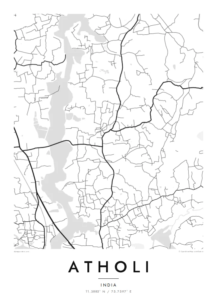


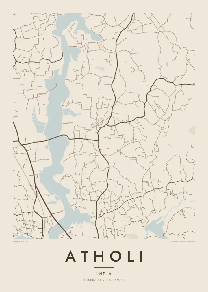
Eng Stad, fënnef Stëmmungen
Tipp op e Stil fir en un der Wand ze gesinn. All Stil kascht d'selwecht — gedréckt, geframt oder als HD-Dateien.
 Richteg Pixel · 24 × 36″ Print-Datei
Gestach schaarf
Dëst ass en 100%-Ausschnitt vun der richteger Print-Datei. All Poster — gedréckt, geframt oder erofgeluede — gëtt op eise Serveren mat 300 DPI gerendert, bis zu 7,200 × 10,800 Pixel, sou datt och déi klengst Stroossen op engem 24 × 36″-Print scharf bleiwen.
un der Mauer


D'Kaart
Atholi lies on the Malabar coast in Kozhikode district, in the long band of settlement that runs parallel to the Arabian Sea. On a map, the area reads as a strip: the shoreline along one side, the main road corridor through the middle, and a network of small lanes filling the land in between.
The built pattern is typical of coastal Kerala, with houses spread among coconut groves rather than packed into a dense centre. Small roads branch off the main route toward the beach and inland, and water appears in several forms, from the open sea to the narrow creeks and backwaters of the region.
An Atholi map poster reflects this linear, green landscape rather than a conventional town plan. It is a map about the relationship between coast and road, and about the ordinary lanes that make up daily life in a village on the Kerala shore.
The shoreline defines one edge of the map, a long straight coast that gives the composition a clear, calm boundary on the western side.
The principal road runs parallel to the coast, the spine from which smaller lanes spread out toward the sea and the inland areas.
A fine web of narrow lanes connects homes spread through the palm groves, creating an even, organic texture across the land.
Maacht en zu Ärem eegenen
Setzt en Datum, en Numm oder eng eegen Zeil derbäi, wiesselt Stil, Gréisst oder Orientéierung.
D'gratis Preview ass a niddereger Opléisung mat enger Waassermark. Prints an HD-Dateien gi mat 300 DPI gerendert, bis zu 7,200 × 10,800 px, ouni Waassermark.
Firwat Atholi
For families from Atholi, including those now working in the Gulf or elsewhere in India, this map is a way to keep home in view. The coastline and lanes form a simple, calm image that fits almost any room.
Add a family name, a date or a place name in the title and subtitle, and adjust the coordinates line. Choose from Classic black & white, Noir, Paper, Blueprint or Sand, and preview it free before buying.
Bestell den Atholi-Poster| Drockgréisst | Opléisung | Dateien |
|---|---|---|
| 30 × 40 cm (11.8 × 15.7″) | 3,543 × 4,724 px | PNG · PDF |
| 29.7 × 42 cm (A3, 11.7 × 16.5″) | 3,508 × 4,961 px | PNG · PDF |
| 42 × 59.4 cm (A2, 16.5 × 23.4″) | 4,961 × 7,016 px | PNG · PDF |
| 45.7 × 61 cm (18 × 24″) | 5,400 × 7,200 px | PNG · PDF |
| 50 × 70 cm (19.7 × 27.6″) | 5,906 × 8,268 px | PNG · PDF |
| 61 × 91.4 cm (24 × 36″) | 7,200 × 10,800 px | PNG · PDF |
Zum Verglach: Déi gratis Virschau ass 900 px breet, huet e Waasserzeechen an ass fir de Bildschierm geduecht. D'HD-Dateien hunn a jiddwer Richtung bis zu 8× d'Opléisung a loossen sech och a voller Postergréisst propper drécken.
Wiel e Stil uewen op der Säit aus, duerno entscheed dech fir Gedréckte Poster — eng Gréisst a, wann s de wëlls, e Kader — oder Digital HD-Dateien. D'Keess ass an engem Schrëtt gemaach, an deng Bestellungssäit gëtt aktualiséiert soubal d'Bezuelung duerch ass.
Hie gëtt op héichwäertegt mattes 200-g/m²-Pabeier gedréckt, an enger vu sechs Gréissten, vun 30 × 40 cm bis 24 × 36″. Gedréckte Poster fänken bei {printFrom} un, Liwwerung inklusiv.
Jo. Wiel e Kader aus massivem Holz a schwaarz, wäiss, natierlecher Eech oder donkelem Holz. Hien huet eng bruchsécher Verglasung a ka sou opgehaange ginn. Geframte Poster fänken bei {framedFrom} un, Liwwerung inklusiv.
D'Liwwerung ass weltwäit gratis. All Poster gëtt vum nootste vun eise Print-Partner a méi wéi 30 Länner gedréckt an kënnt normalerweis a 3–7 Aarbechtsdeeg un. Du kanns de Status an d'Tracking ënner Meng Bestellungen verfollegen.
Schéck eis bannent 14 Deeg no der Liwwerung e Foto, a mir drécken en gratis nach eng Kéier oder erstatten dir de Präis.
Jo. Am Editor op dëser Säit kanns de den Titel, den Ënnertitel an d'Koordinatenzeil op alles änneren, wat s de wëlls, a e Stil an eng Gréisst auswielen. Gedréckt, geframt a digital Bestellungen benotzen alleguer genau däi Design.
Fir $9 kriss de 300 DPI PNG- an drockprett PDF-Dateien a all sechs Gréissten, ouni Waassermarken, fir iwwerall ze drécken. Nach net sécher? Lued fir d'éischt eng gratis Preview mat Waassermark erof.
