Benguela Railway
The historic line from the Atlantic coast to the interior passes through the town. It is a long, steady stroke across the plateau.
Minimalistesche Kaarteposter · Angola
12.9079° S / 15.2485° E
A highland town on Angola's central plateau, strung along the Benguela Railway among open farmland
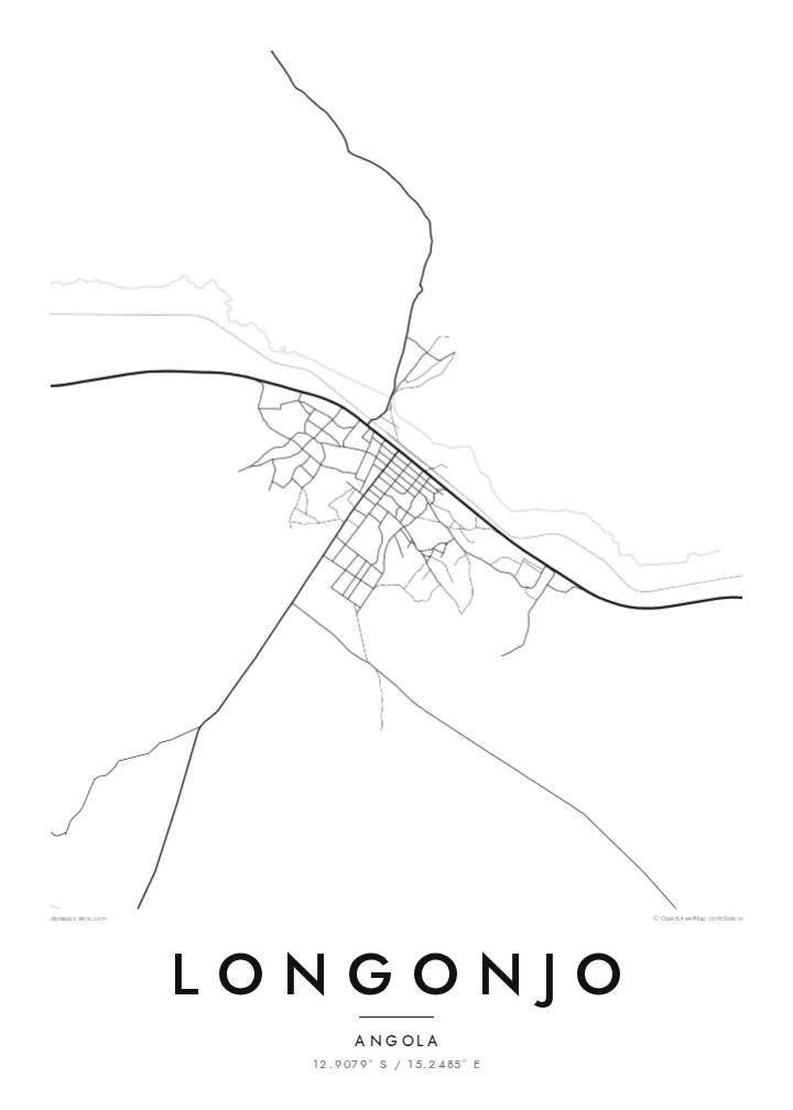
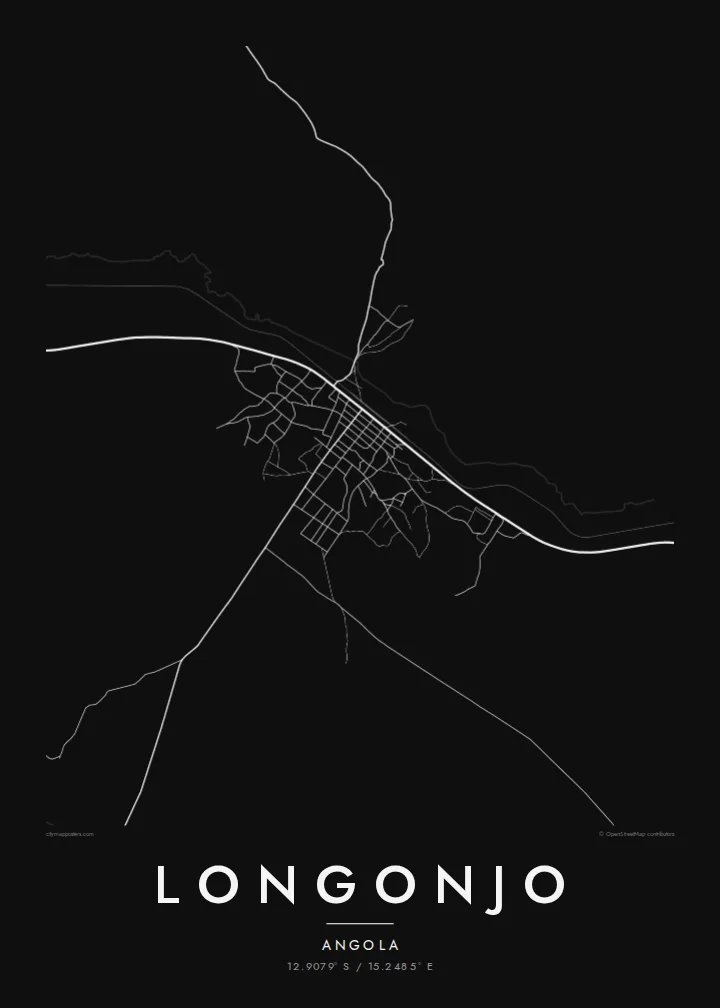


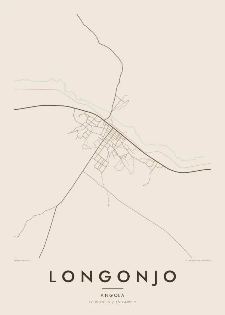
Eng Stad, fënnef Stëmmungen
Tipp op e Stil fir en un der Wand ze gesinn. All Stil kascht d'selwecht — gedréckt, geframt oder als HD-Dateien.
 Richteg Pixel · 24 × 36″ Print-Datei
Gestach schaarf
Dëst ass en 100%-Ausschnitt vun der richteger Print-Datei. All Poster — gedréckt, geframt oder erofgeluede — gëtt op eise Serveren mat 300 DPI gerendert, bis zu 7,200 × 10,800 Pixel, sou datt och déi klengst Stroossen op engem 24 × 36″-Print scharf bleiwen.
un der Mauer


D'Kaart
Longonjo is in Huambo Province, on the high central plateau of Angola, west of the provincial capital. On a map it is a small town surrounded by a very large rural district, where villages, fields and dirt roads spread across the upland. The population counted for the municipality lives mostly in these scattered settlements rather than in the town itself.
The Benguela Railway, which crosses Angola from the Atlantic port of Lobito into the interior, passes through Longonjo. Its line is one of the few long straight features on the map. A Longonjo map poster shows the railway, the modest grid of the town centre and the network of tracks linking it to the nearby villages.
The plateau is rolling and green in the rainy season, with small rivers and wetlands running through it. In recent years the area has become known for a rare earth deposit under development nearby. From above, though, Longonjo still looks like an agricultural highland town, a small centre on the railway surrounded by open country.
The historic line from the Atlantic coast to the interior passes through the town. It is a long, steady stroke across the plateau.
A modest grid of streets marks the centre of Longonjo. It is compact and easy to read against the wide rural land around it.
Unpaved roads and paths spread out to the surrounding villages, forming a thin, branching network across the highlands.
Maacht en zu Ärem eegenen
Setzt en Datum, en Numm oder eng eegen Zeil derbäi, wiesselt Stil, Gréisst oder Orientéierung.
D'gratis Preview ass a niddereger Opléisung mat enger Waassermark. Prints an HD-Dateien gi mat 300 DPI gerendert, bis zu 7,200 × 10,800 px, ouni Waassermark.
Firwat Longonjo
For families from Huambo Province or people who have travelled the Benguela line, Longonjo is a place that seldom appears in print. A map of the town and its railway keeps that connection visible at home.
Edit the title, add a subtitle such as a family name or date, and keep or change the coordinates. Sand and Paper suit the highland landscape, and Classic black & white keeps it clean.
Bestell den Longonjo-Poster| Drockgréisst | Opléisung | Dateien |
|---|---|---|
| 30 × 40 cm (11.8 × 15.7″) | 3,543 × 4,724 px | PNG · PDF |
| 29.7 × 42 cm (A3, 11.7 × 16.5″) | 3,508 × 4,961 px | PNG · PDF |
| 42 × 59.4 cm (A2, 16.5 × 23.4″) | 4,961 × 7,016 px | PNG · PDF |
| 45.7 × 61 cm (18 × 24″) | 5,400 × 7,200 px | PNG · PDF |
| 50 × 70 cm (19.7 × 27.6″) | 5,906 × 8,268 px | PNG · PDF |
| 61 × 91.4 cm (24 × 36″) | 7,200 × 10,800 px | PNG · PDF |
Zum Verglach: Déi gratis Virschau ass 900 px breet, huet e Waasserzeechen an ass fir de Bildschierm geduecht. D'HD-Dateien hunn a jiddwer Richtung bis zu 8× d'Opléisung a loossen sech och a voller Postergréisst propper drécken.
Wiel e Stil uewen op der Säit aus, duerno entscheed dech fir Gedréckte Poster — eng Gréisst a, wann s de wëlls, e Kader — oder Digital HD-Dateien. D'Keess ass an engem Schrëtt gemaach, an deng Bestellungssäit gëtt aktualiséiert soubal d'Bezuelung duerch ass.
Hie gëtt op héichwäertegt mattes 200-g/m²-Pabeier gedréckt, an enger vu sechs Gréissten, vun 30 × 40 cm bis 24 × 36″. Gedréckte Poster fänken bei {printFrom} un, Liwwerung inklusiv.
Jo. Wiel e Kader aus massivem Holz a schwaarz, wäiss, natierlecher Eech oder donkelem Holz. Hien huet eng bruchsécher Verglasung a ka sou opgehaange ginn. Geframte Poster fänken bei {framedFrom} un, Liwwerung inklusiv.
D'Liwwerung ass weltwäit gratis. All Poster gëtt vum nootste vun eise Print-Partner a méi wéi 30 Länner gedréckt an kënnt normalerweis a 3–7 Aarbechtsdeeg un. Du kanns de Status an d'Tracking ënner Meng Bestellungen verfollegen.
Schéck eis bannent 14 Deeg no der Liwwerung e Foto, a mir drécken en gratis nach eng Kéier oder erstatten dir de Präis.
Jo. Am Editor op dëser Säit kanns de den Titel, den Ënnertitel an d'Koordinatenzeil op alles änneren, wat s de wëlls, a e Stil an eng Gréisst auswielen. Gedréckt, geframt a digital Bestellungen benotzen alleguer genau däi Design.
Fir $9 kriss de 300 DPI PNG- an drockprett PDF-Dateien a all sechs Gréissten, ouni Waassermarken, fir iwwerall ze drécken. Nach net sécher? Lued fir d'éischt eng gratis Preview mat Waassermark erof.
An der Géigend
