Tórshavn and Tinganes
The capital's streets fan out from the harbour, with the rocky Tinganes peninsula at its centre. It is the densest cluster of lines anywhere in the Faroes.
Minimālistisks kartes plakāts · Fēru salas
62.1236° N / 6.9969° W
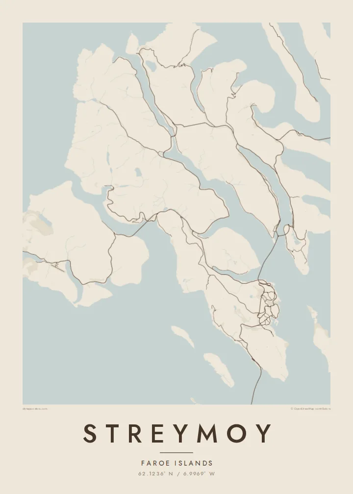
The largest Faroe island, a long mountain spine notched by fjords, with Tórshavn tucked into its southeastern shore.


Viena pilsēta, pieci noskaņojumi
Pieskaries stilam, lai redzētu to uz sienas. Visi stili maksā vienādi — drukāts, ierāmēts vai kā HD faili.
 Reālie pikseļi · 24 × 36″ drukas fails
Asa izdruka
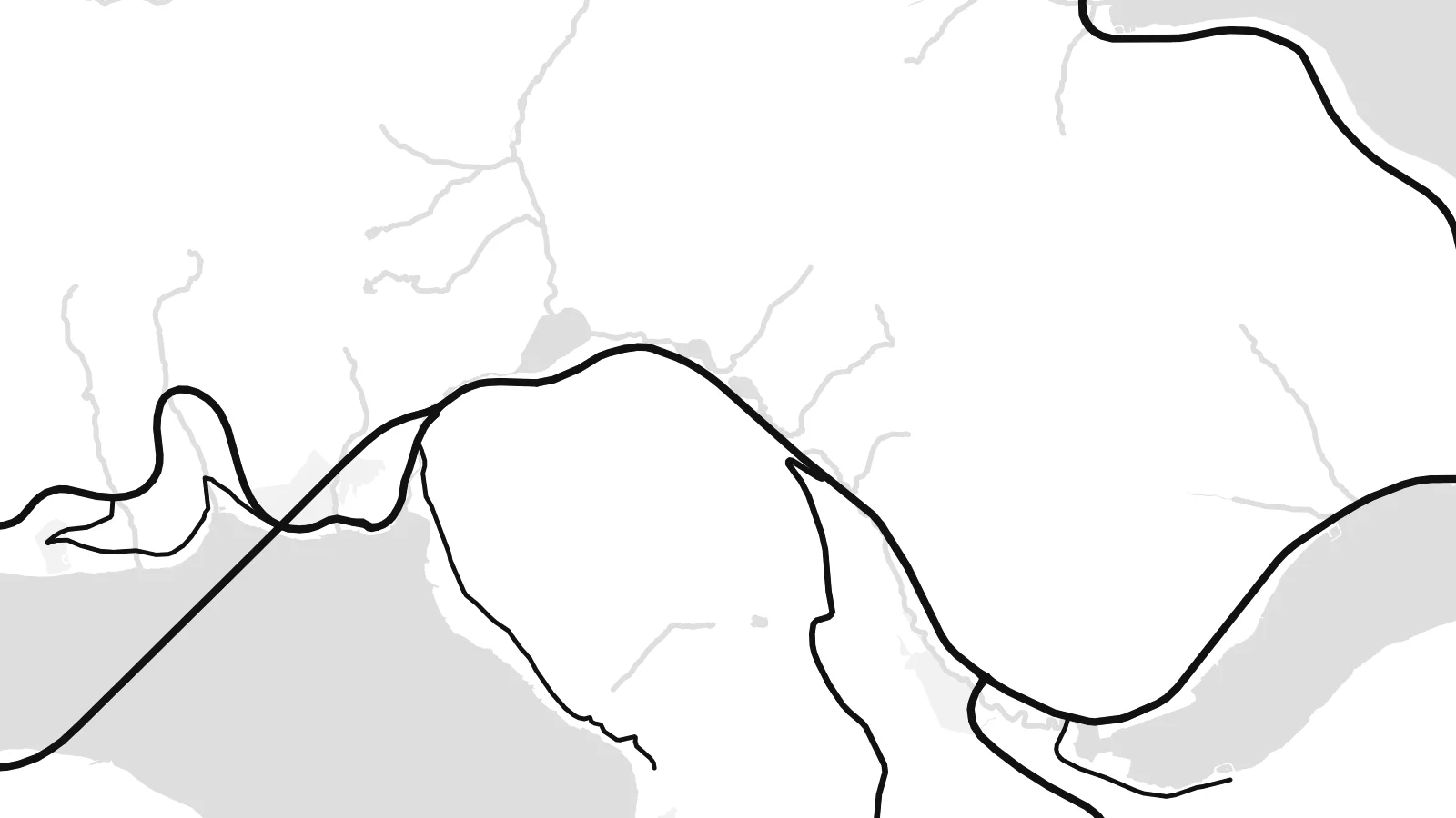
Šis ir 100% izgriezums no reālā drukas faila. Katrs plakāts — drukāts, ierāmēts vai lejupielādēts — tiek renderēts mūsu serveros ar 300 DPI izšķirtspēju, līdz 7,200 × 10,800 pikseļiem, tāpēc pat vismazākās ieliņas paliek asas uz 24 × 36″ izdruka.
Uz sienas


Karte
Streymoy is the largest and most populous of the Faroe Islands, a long island running northwest to southeast between Vágar and Eysturoy. From above it looks like a mountain spine with steep flanks, the coast notched by fjords and the interior crossed by only a handful of roads. Villages sit on narrow shelves of flat ground where valleys meet the sea.
Tórshavn, the capital, occupies the southeastern coast, its streets climbing from the harbour and the small Tinganes peninsula, where the Faroese government sits among turf-roofed buildings. To the south, Kirkjubøur holds the medieval ruins of the Magnus Cathedral. On the north coast, Saksun sits above a tidal lagoon that fills and drains with the sea.
Streymoy is tied to its neighbours by a short bridge across the sound to Eysturoy and by tunnels running beneath the sea, so most journeys in the archipelago pass through it. A Streymoy map poster shows how these links pull the island into the centre of the Faroes, with Tórshavn as its densest point and long empty ridges stretching north.
The capital's streets fan out from the harbour, with the rocky Tinganes peninsula at its centre. It is the densest cluster of lines anywhere in the Faroes.
A narrow channel separates Streymoy from Eysturoy, spanned by a short bridge. On the map it reads almost like a river, the thinnest gap between two islands.
In the north, a small tidal lagoon opens to the sea through a narrow channel below the village of Saksun, a delicate shape on an otherwise steep coastline.
Padariet to savu
Pievienojiet datumu, vārdu vai savu tekstu, mainiet stilu, izmēru vai orientāciju.
Bezmaksas priekšskatījumam ir zema izšķirtspēja un ūdenszīme. Drukas un HD faili tiek renderēti ar 300 DPI izšķirtspēju, līdz 7,200 × 10,800 px, bez ūdenszīmes.
Kāpēc Streymoy
For Faroese families and anyone who has lived in Tórshavn, Streymoy is home ground. For visitors it is where most journeys start and end. The island's long outline and cut coast make a strong, graphic poster.
Use the title for a village or street name, the subtitle for a date, and the coordinates line for a precise spot. Choose one of five styles, Classic black & white, Noir, Paper, Blueprint or Sand, as a $9 HD file or a printed poster.
Pasūtīt Streymoy plakātu| Drukas izmērs | Izšķirtspēja | Faili |
|---|---|---|
| 30 × 40 cm11.8 × 15.7″ | 3,543 × 4,724 px | PNG · PDF |
| 29.7 × 42 cm (A3)11.7 × 16.5″ | 3,508 × 4,961 px | PNG · PDF |
| 42 × 59.4 cm (A2)16.5 × 23.4″ | 4,961 × 7,016 px | PNG · PDF |
| 45.7 × 61 cm18 × 24″ | 5,400 × 7,200 px | PNG · PDF |
| 50 × 70 cm19.7 × 27.6″ | 5,906 × 8,268 px | PNG · PDF |
| 61 × 91.4 cm24 × 36″ | 7,200 × 10,800 px | PNG · PDF |
Salīdzinājumam: bezmaksas priekšskatījums ir 900 px plats, ar ūdenszīmi un paredzēts ekrāniem. HD failiem ir līdz 8× lielāka izšķirtspēja katrā virzienā, un tie tīri izdrukājas pilnā plakāta izmērā.
Izvēlies stilu lapas augšā, tad izvēlies Drukāts plakāts — izmēru un, ja vēlies, rāmi — vai Digitālie HD faili. Norēķins aizņem vienu soli, un tavas pasūtījuma lapa atjaunojas, tiklīdz maksājums ir veiksmīgs.
Tas tiek drukāts uz augstas kvalitātes 200 g/m² matēta papīra vienā no sešiem izmēriem, sākot no 30 × 40 cm līdz 24 × 36″. Drukāti plakāti maksā jau no $39, piegāde iekļauta.
Jā. Izvēlies masīvkoka rāmi melnā, baltā, dabiskā ozola vai tumša koka tonī. Tas nāk ar necaurlaužamu stiklojumu un ir gatavs pakarināšanai. Ierāmēti plakāti maksā jau no $99, piegāde iekļauta.
Piegāde uz 60+ valstīm ir bezmaksas. Katru plakātu izdrukā tuvākais no mūsu poligrāfijas partneriem 30+ valstīs, un parasti tas pienāk 3–7 darba dienās. Statusu un sūtījuma izsekošanu var redzēt sadaļā “Mani pasūtījumi”. Dažās valstīs piegāde aizņem 2–5 nedēļas, bet, ja uz jūsu valsti vēl nepiegādājam, vietne par to paziņos pirms apmaksas.
Nosūti mums fotoattēlu 14 dienu laikā pēc piegādes, un mēs to bez maksas pārdrukāsim vai atmaksāsim naudu.
Jā. Šīs lapas redaktorā vari mainīt virsrakstu, apakšvirsrakstu un koordinātu rindu pēc savas izvēles, kā arī izvēlēties stilu un izmēru. Drukātie, ierāmētie un digitālie pasūtījumi izmanto tieši tavu dizainu.
Par $9 tu saņem 300 DPI PNG un drukai gatavus PDF failus visos sešos izmēros, bez ūdenszīmes, drukāšanai jebkur. Vēl neesi pārliecināts? Vispirms lejupielādē bezmaksas priekšskatījumu ar ūdenszīmi.
Tuvumā
