Barelang bridges
A chain of six bridges links Batam with the islands to its south, drawn as thin lines hopping across open water between coastlines.
Poster in mab ejjab eļap an kōkaan · Indonesia
1.1494° N / 104.0249° E
An island city facing Singapore across a narrow strait, its coastline ragged with bays, reservoirs and a chain of bridges.


Juon jikin kweilok, ļalem eñjake
Jibburi juon style ñan lo e ilo wall. Aolep style ej jokutok wōt āinwōt juon — mede, likūt ilo frame ak ñan bōk āinwōt HD files.
 Pixels eo eṃool · 24 × 36″ file in mede
Alikkar ñan prin
Menin juon crop 100% jān file in mede eo eṃool. Aolep poster — meej, likūt ilo frame ak load — rej kōṃṃane ilo server ko am ilo 300 DPI, ñan 7,200 × 10,800 pixel, bwe lanes ko re dik wōt rej pād im alikkar ilo mede eo 24 × 36″.
Ioon kiin


Mab eo
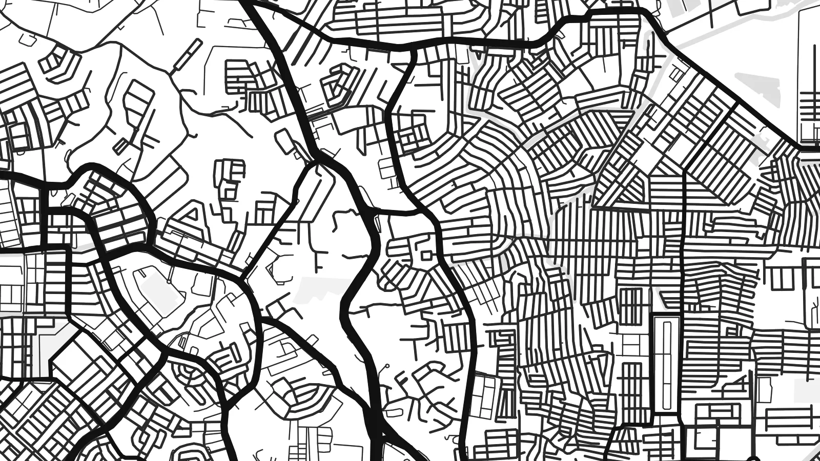
Batam is an island, and its map is defined by water on every side. The coastline is deeply indented with bays, inlets and mangrove edges, while the interior holds several reservoirs that collect the island's fresh water. Singapore lies only a short distance to the north across the Singapore Strait, reached by frequent ferries from Batam's harbours.
The urban pattern is scattered rather than centralised. Commercial districts such as Nagoya cluster near the northern coast, while industrial estates, housing areas and port facilities spread across the island along a network of main roads. Large blocks mark factories and shipyards, reflecting Batam's development as a free trade and manufacturing zone from the 1970s onward.
A Batam map poster shows a place shaped by its position on one of the world's busiest shipping routes. To the south, the Barelang bridges connect Batam to the neighbouring islands of Rempang and Galang.
A chain of six bridges links Batam with the islands to its south, drawn as thin lines hopping across open water between coastlines.
Several inland reservoirs appear as irregular water shapes within the island, giving the interior its own set of shorelines.
The northern coast faces the Singapore Strait, with ferry terminals and harbour basins marking the closest point to the neighbouring city-state.
Kōmmane bwe en aṃ
Kōbaiki juon raan, juon etan ak juon naan eo aṃ, ukōt wāween, joñan ak ooj.
Preview eo ejjeḷọk oṇāān ej resolution edik im ewor watermark. Poster ko rej mede im HD files rej kōṃṃane ilo 300 DPI, ñan 7,200 × 10,800 px, ejjeḷọk watermark.
Etke Batam
Batam draws people for work, for weekend trips from Singapore and for its coast. A map of the island records all of that in one clear outline, with the sea giving it a strong frame.
Add your own title, a subtitle for a year or a project, and a coordinates line, then choose between Classic black & white, Noir, Paper, Blueprint and Sand for the finished poster.
Order poster Batam| Joñan prin | Resolution | File ko |
|---|---|---|
| 30 × 40 cm11.8 × 15.7″ | 3,543 × 4,724 px | PNG · PDF |
| 29.7 × 42 cm (A3)11.7 × 16.5″ | 3,508 × 4,961 px | PNG · PDF |
| 42 × 59.4 cm (A2)16.5 × 23.4″ | 4,961 × 7,016 px | PNG · PDF |
| 45.7 × 61 cm18 × 24″ | 5,400 × 7,200 px | PNG · PDF |
| 50 × 70 cm19.7 × 27.6″ | 5,906 × 8,268 px | PNG · PDF |
| 61 × 91.4 cm24 × 36″ | 7,200 × 10,800 px | PNG · PDF |
Ñan keidi, preview eo ejjeļọk wōnāān ej 900 px an depakpak, ewōr watermark im ej ñan screen wōt. File HD ko rej ñan 8× an alikkar ilo aolep tu im rej prin emmanḷọk ilo joñan poster eo aolepen.
Kāālōt juon style i tōp in page eo, innām kāālōt Poster eṃōj Mede — juon size im, eḷaññe kwōj kōṇaan, juon frame — ak Digital HD Files. Checkout ej juon wōt buñtōn, im page in order eo aṃ enaaj kāāl ñe payment eo ej dedeḷọk.
Emej ilo bok premium 200 gsm matte, ilo juon iaan jiljino size, jān 30 × 40 cm ñan 24 × 36″. Poster ko rej mede rej jino jān $39, jipañ in kadikdik ej pād ilo wōt.
Aet. Kāālōt juon frame wōjke pen ilo black, white, oak ereo ak wōjke marok. Ej itok ippān kilaj ejjab bwilọk im pojak ñan totouk. Poster ko ilo frame rej jino jān $99, jipañ in kadikdik ej pād ilo wōt.
Jāntōn ejjeļo̧k̦ ñan āeļōn̄ ko 60+. Kajjojo poster ej pãleejeḷ ilo juon ian ro jet rejjar bwe ren pãleejeḷ ilo āeļōn̄ ko 30+, im ekkã an tōpar ilo raan ko 3–7 an jerbal. Kwomaroñ lale wāween im tracking ilo My Orders. Jet āeļōn̄ rej aikuj 2–5 wiik, im ijoko jejjeļo̧k̦ ñan jāgià, ļaiboro̧ ej ba ñan eok mokta jān am pay.
Jilkinwōj juon pija ilowaan 14 raan jān an itok, im kōmnaaj mede juon alen ejjeḷọk oṇāān ak kōṃṃan refund ñan eok.
Aet. Ilo editor eo ilo page in, ukōt title eo, subtitle eo im coordinates ñan jabdewōt kwōj kōṇaan, im kāālōt juon style im size. Order ko mede, ilo frame im digital rej kōjerbal wōt design eo aṃ eṃool.
Kōn $9 kwōj bōk 300 DPI PNG im PDF files pojak ñan mede ilo aolep jiljino size, ejjeḷọk watermark, ñan mede ijoko jabdewōt. Ejjañin lukkuun alikkar ippaṃ? Load juon preview eo ejjeḷọk oṇāān kōn watermark ṃokta.
Ekkepaake
