Portoferraio harbour
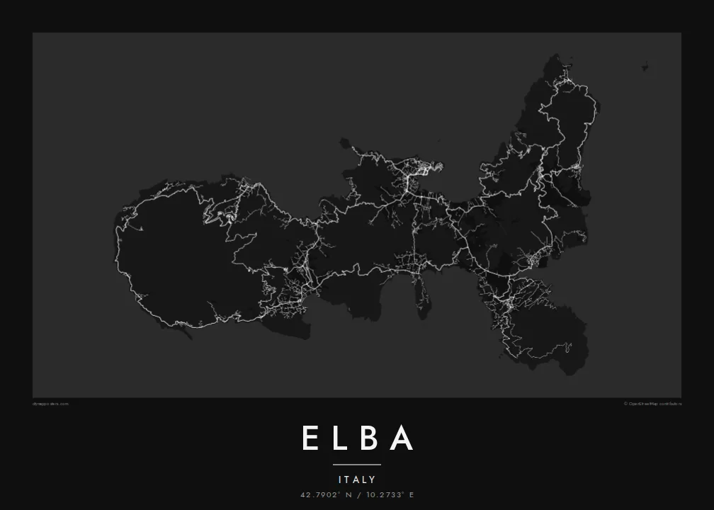
A curved bay on the north coast shelters the island's main port, and the fortified old town on its promontory is the densest street pattern on the map.
Poster peta minimalis · Itali
42.7902° N / 10.2733° E
A jagged Tuscan island of deep bays and headlands, with a granite peak in the west and iron mines in the east.

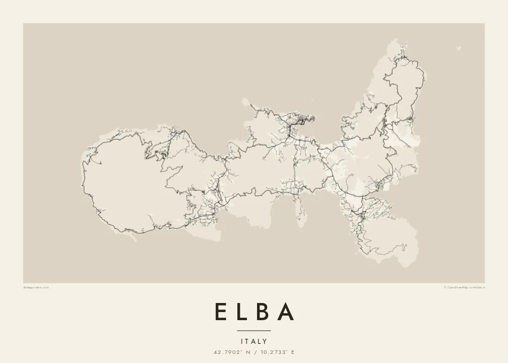


Satu bandar, lima suasana
Ketik gaya untuk melihatnya di dinding. Setiap gaya harganya sama — dicetak, dibingkai atau sebagai fail HD.
 Piksel sebenar · fail cetakan 24 × 36″
Tajam untuk cetakan
Ini ialah potongan 100% daripada fail cetakan sebenar. Setiap poster — dicetak, dibingkai atau dimuat turun — dijana di pelayan kami pada 300 DPI, sehingga 7,200 × 10,800 piksel, jadi lorong sekecil mana pun kekal tajam pada cetakan 24 × 36″.
Di dinding


Peta
Elba is the largest island of the Tuscan Archipelago and the third largest in Italy, lying about ten kilometres off the mainland at Piombino. Its outline is unusually irregular, a chain of headlands and deep, rounded bays that make the coastline far longer than the island's size suggests. Monte Capanne, a granite massif, dominates the west, while the east is lower and more broken.
Portoferraio, the main town, sits on a promontory above a sheltered bay on the north coast, enclosed by fortifications laid out under the Medici in the sixteenth century. On an Elba map poster its harbour, walls and bastions form a compact, angular knot, and roads leave it to climb over the hills toward Marciana, Porto Azzurro and Capoliveri.
Napoleon was exiled to Elba in 1814 and ruled the island for about ten months before escaping to France. Long before that, its iron ore was worked by the Etruscans and the Romans, and mining continued in the east into the twentieth century. The old mine workings and the coves between them still mark the eastern shore.
A curved bay on the north coast shelters the island's main port, and the fortified old town on its promontory is the densest street pattern on the map.
The island's highest peak rises in the west, and villages sit on its lower slopes, linked by a winding road that circles the massif close to the coast.
The coastline turns in and out constantly, with wide gulfs such as those at Procchio, Lacona and Porto Azzurro, giving the poster an intricate, lace-like edge.
Jadikan milik anda
Tambah tarikh, nama atau ayat anda sendiri, tukar gaya, saiz atau orientasi.
Pratonton percuma beresolusi rendah dengan tanda air. Cetakan dan fail HD dijana pada 300 DPI, sehingga 7,200 × 10,800 px, tanpa tanda air.
Kenapa Elba
Elba is a summer island for many Italians and a sailing destination for people from across Europe. Its intricate coastline gives the poster a great deal to look at, and the whole island fits comfortably in a single frame.
Add a title, a subtitle for the year of a summer or the name of a bay, and your own coordinates line. Five styles are available, with Paper and Sand for a warmer print and Blueprint for a nautical feel. The $9 files cover six print sizes.
Tempah poster Elba| Saiz cetakan | Resolusi | Fail |
|---|---|---|
| 30 × 40 cm (11.8 × 15.7″) | 3,543 × 4,724 px | PNG · PDF |
| 29.7 × 42 cm (A3, 11.7 × 16.5″) | 3,508 × 4,961 px | PNG · PDF |
| 42 × 59.4 cm (A2, 16.5 × 23.4″) | 4,961 × 7,016 px | PNG · PDF |
| 45.7 × 61 cm (18 × 24″) | 5,400 × 7,200 px | PNG · PDF |
| 50 × 70 cm (19.7 × 27.6″) | 5,906 × 8,268 px | PNG · PDF |
| 61 × 91.4 cm (24 × 36″) | 7,200 × 10,800 px | PNG · PDF |
Sebagai perbandingan, pratonton percuma selebar 900 px, bertera air dan untuk skrin sahaja. Fail HD mempunyai resolusi sehingga 8× ganda pada setiap arah dan dicetak dengan kemas pada saiz poster penuh.
Pilih gaya di bahagian atas halaman, kemudian pilih Poster Cetakan — saiz dan, jika mahu, bingkai — atau Fail Digital HD. Pembayaran hanya satu langkah, dan halaman pesanan anda akan dikemas kini sebaik sahaja pembayaran selesai.
Ia dicetak pada kertas matte premium 200 gsm dalam salah satu daripada enam saiz, dari 30 × 40 cm hingga 24 × 36″. Poster cetakan bermula pada {printFrom}, penghantaran percuma.
Boleh. Pilih bingkai kayu pejal dalam warna hitam, putih, oak semula jadi atau kayu gelap. Ia dilengkapi kaca tahan pecah dan sedia untuk digantung. Poster berbingkai bermula pada {framedFrom}, penghantaran percuma.
Penghantaran percuma ke seluruh dunia. Setiap poster dicetak oleh rakan cetakan kami yang paling dekat di lebih 30 negara dan biasanya tiba dalam 3–7 hari bekerja. Anda boleh menyemak status dan penjejakan di bawah Pesanan Saya.
Hantarkan kami gambar dalam masa 14 hari selepas penghantaran dan kami akan mencetak semula secara percuma atau memberikan bayaran balik.
Boleh. Dalam editor di halaman ini, ubah tajuk, subtajuk dan baris koordinat mengikut kehendak anda, kemudian pilih gaya dan saiz. Pesanan cetakan, berbingkai dan digital semuanya menggunakan reka bentuk anda dengan tepat.
Dengan harga $9, anda dapat fail PNG 300 DPI dan PDF sedia cetak dalam kesemua enam saiz, tanpa tanda air, untuk dicetak di mana-mana sahaja. Belum pasti? Muat turun pratonton percuma bertanda air dahulu.
