Scattered hamlets
Houses gather in small groups across the slopes, not in one centre. The map shows many little clusters linked by lanes, each hamlet with its own name.
Poster peta minimalis · Perancis
45.8608° N / 6.3700° E
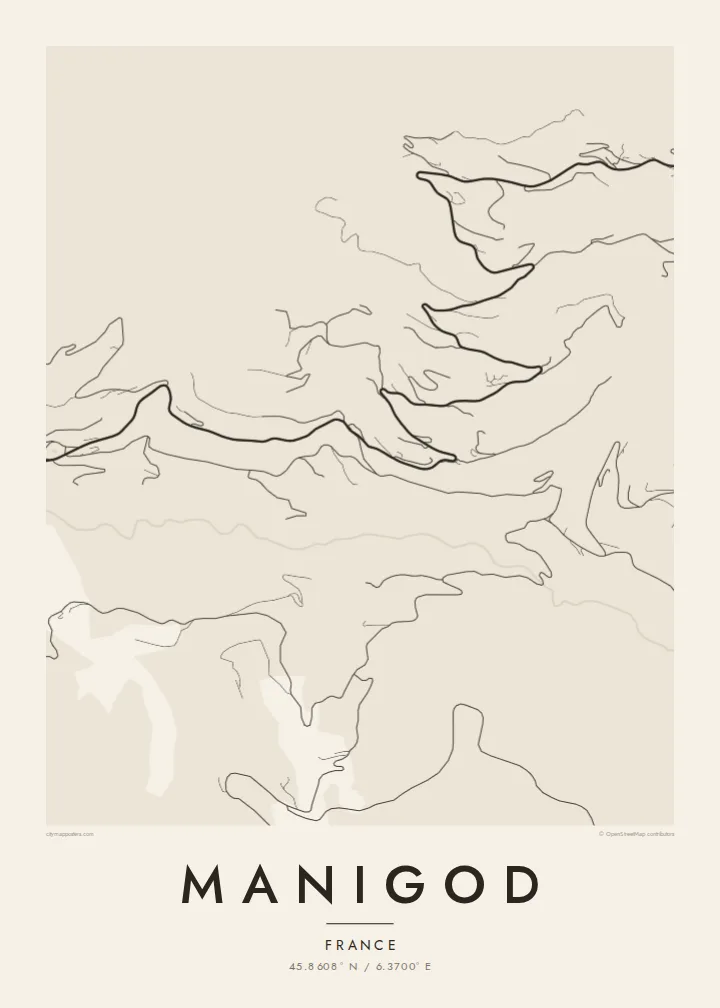
A scatter of hamlets on steep slopes above a green valley in the Aravis, with roads climbing to two passes.




Satu bandar, lima suasana
Ketik gaya untuk melihatnya di dinding. Setiap gaya harganya sama — dicetak, dibingkai atau sebagai fail HD.
 Piksel sebenar · fail cetakan 24 × 36″
Tajam untuk cetakan
Ini ialah potongan 100% daripada fail cetakan sebenar. Setiap poster — dicetak, dibingkai atau dimuat turun — dijana di pelayan kami pada 300 DPI, sehingga 7,200 × 10,800 piksel, jadi lorong sekecil mana pun kekal tajam pada cetakan 24 × 36″.
Di dinding


Peta
Manigod is less a village than a network of hamlets spread across the slopes of the Aravis massif in Haute-Savoie. The small centre with its church sits above the valley, and chalets and farms are dotted over the hillsides around it. On a map, winding lanes link them together and climb toward the Col de la Croix Fry and the Col de Merdassier.
The ski area at the passes connects with La Clusaz, which makes Manigod a quieter way into a larger domain. The commune lies in reblochon country, and farming still shapes much of the landscape. Pastures and hay meadows fill the ground between the hamlets, and the Fier begins its course in these mountains.
A Manigod map poster is all about dispersion. There is no dense grid, only threads of road and track tying together many small groups of houses, with streams running down to the valley floor. It is a picture of mountain farming life more than of a resort, and it looks especially good in a minimal, open style.
Houses gather in small groups across the slopes, not in one centre. The map shows many little clusters linked by lanes, each hamlet with its own name.
The road climbs to this pass between Manigod and La Clusaz. Its chalets and lift bases make it one of the few denser spots on the map.
The Fier flows through the valley below the village toward Thônes. It is the line that collects the streams coming down from the hamlets on either side.
Jadikan milik anda
Tambah tarikh, nama atau ayat anda sendiri, tukar gaya, saiz atau orientasi.
Pratonton percuma beresolusi rendah dengan tanda air. Cetakan dan fail HD dijana pada 300 DPI, sehingga 7,200 × 10,800 px, tanpa tanda air.
Kenapa Manigod
Manigod suits people who prefer the quieter side of the Aravis, whether that means a family chalet on a hillside or a farm stay in summer. Its scattered shape makes a map with plenty of space, one that feels close to the place itself.
Choose the title, subtitle and coordinates, then one of five styles: Classic black & white, Noir, Paper, Blueprint or Sand. A free watermarked preview shows the result first. HD files or printed matte posters follow when you are ready.
Tempah poster Manigod| Saiz cetakan | Resolusi | Fail |
|---|---|---|
| 30 × 40 cm (11.8 × 15.7″) | 3,543 × 4,724 px | PNG · PDF |
| 29.7 × 42 cm (A3, 11.7 × 16.5″) | 3,508 × 4,961 px | PNG · PDF |
| 42 × 59.4 cm (A2, 16.5 × 23.4″) | 4,961 × 7,016 px | PNG · PDF |
| 45.7 × 61 cm (18 × 24″) | 5,400 × 7,200 px | PNG · PDF |
| 50 × 70 cm (19.7 × 27.6″) | 5,906 × 8,268 px | PNG · PDF |
| 61 × 91.4 cm (24 × 36″) | 7,200 × 10,800 px | PNG · PDF |
Sebagai perbandingan, pratonton percuma selebar 900 px, bertera air dan untuk skrin sahaja. Fail HD mempunyai resolusi sehingga 8× ganda pada setiap arah dan dicetak dengan kemas pada saiz poster penuh.
Pilih gaya di bahagian atas halaman, kemudian pilih Poster Cetakan — saiz dan, jika mahu, bingkai — atau Fail Digital HD. Pembayaran hanya satu langkah, dan halaman pesanan anda akan dikemas kini sebaik sahaja pembayaran selesai.
Ia dicetak pada kertas matte premium 200 gsm dalam salah satu daripada enam saiz, dari 30 × 40 cm hingga 24 × 36″. Poster cetakan bermula pada {printFrom}, penghantaran percuma.
Boleh. Pilih bingkai kayu pejal dalam warna hitam, putih, oak semula jadi atau kayu gelap. Ia dilengkapi kaca tahan pecah dan sedia untuk digantung. Poster berbingkai bermula pada {framedFrom}, penghantaran percuma.
Penghantaran percuma ke seluruh dunia. Setiap poster dicetak oleh rakan cetakan kami yang paling dekat di lebih 30 negara dan biasanya tiba dalam 3–7 hari bekerja. Anda boleh menyemak status dan penjejakan di bawah Pesanan Saya.
Hantarkan kami gambar dalam masa 14 hari selepas penghantaran dan kami akan mencetak semula secara percuma atau memberikan bayaran balik.
Boleh. Dalam editor di halaman ini, ubah tajuk, subtajuk dan baris koordinat mengikut kehendak anda, kemudian pilih gaya dan saiz. Pesanan cetakan, berbingkai dan digital semuanya menggunakan reka bentuk anda dengan tepat.
Dengan harga $9, anda dapat fail PNG 300 DPI dan PDF sedia cetak dalam kesemua enam saiz, tanpa tanda air, untuk dicetak di mana-mana sahaja. Belum pasti? Muat turun pratonton percuma bertanda air dahulu.
