Coast and creeks
The Arabian Sea shoreline and tidal creeks lie to the west, giving the map soft natural edges and a strong sense of place.
Poster peta minimalis · India
19.8202° N / 72.7296° E
A coastal settlement north of Mumbai, where village lanes, creeks and industrial plots meet near the Arabian Sea


Satu bandar, lima suasana
Ketik gaya untuk melihatnya di dinding. Setiap gaya harganya sama — dicetak, dibingkai atau sebagai fail HD.
 Piksel sebenar · fail cetakan 24 × 36″
Tajam untuk cetakan
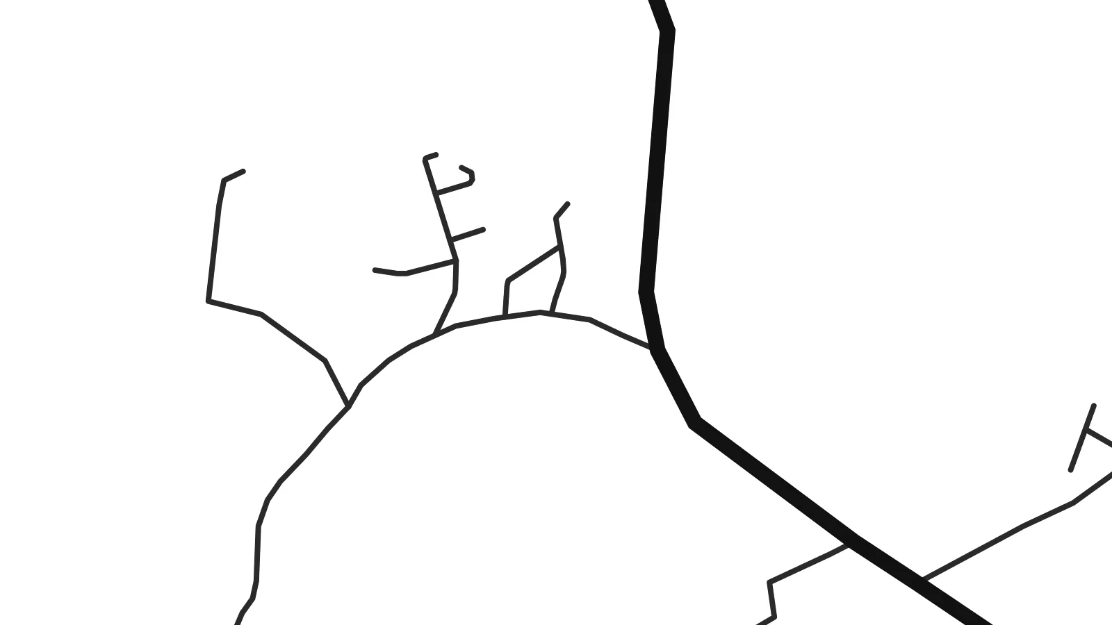
Ini ialah potongan 100% daripada fail cetakan sebenar. Setiap poster — dicetak, dibingkai atau dimuat turun — dijana di pelayan kami pada 300 DPI, sehingga 7,200 × 10,800 piksel, jadi lorong sekecil mana pun kekal tajam pada cetakan 24 × 36″.
Di dinding


Peta
Pasthal lies in the Palghar district of Maharashtra, on the Konkan coast north of Mumbai. From above, the area is a mix of old village settlements, farmland and larger, more regular plots of industrial development, with the Arabian Sea shoreline and tidal creeks not far to the west.
This stretch of coast has changed considerably over recent decades as industry has grown in the Tarapur area, bringing new roads, housing and workers from across India. The result on a map is an interesting contrast: winding village lanes and older clusters of houses sit alongside straight access roads and large rectangular sites.
A Pasthal map poster shows those layers side by side. The coast and creeks give the composition natural edges, the village lanes add fine, irregular detail, and the newer roads draw straight lines through it. It is a map of a place in transition, and it reads clearly and graphically in black and white.
The Arabian Sea shoreline and tidal creeks lie to the west, giving the map soft natural edges and a strong sense of place.
Older settlements appear as dense clusters of narrow, winding lanes, adding fine, irregular detail to the composition.
Newer development brings straight roads and large rectangular plots, contrasting sharply with the organic shape of the older village areas.
Jadikan milik anda
Tambah tarikh, nama atau ayat anda sendiri, tukar gaya, saiz atau orientasi.
Pratonton percuma beresolusi rendah dengan tanda air. Cetakan dan fail HD dijana pada 300 DPI, sehingga 7,200 × 10,800 px, tanpa tanda air.
Kenapa Pasthal
Pasthal is home to long-standing coastal families and to many who came here for work. For either, a map of the area is a personal reminder of a place that shaped everyday life and the people in it.
You can set your own title, subtitle and coordinates line and choose from five styles: Classic black & white, Noir, Paper, Blueprint and Sand. The $9 download covers six print sizes, or order a printed poster on matte paper.
Tempah poster Pasthal| Saiz cetakan | Resolusi | Fail |
|---|---|---|
| 30 × 40 cm (11.8 × 15.7″) | 3,543 × 4,724 px | PNG · PDF |
| 29.7 × 42 cm (A3, 11.7 × 16.5″) | 3,508 × 4,961 px | PNG · PDF |
| 42 × 59.4 cm (A2, 16.5 × 23.4″) | 4,961 × 7,016 px | PNG · PDF |
| 45.7 × 61 cm (18 × 24″) | 5,400 × 7,200 px | PNG · PDF |
| 50 × 70 cm (19.7 × 27.6″) | 5,906 × 8,268 px | PNG · PDF |
| 61 × 91.4 cm (24 × 36″) | 7,200 × 10,800 px | PNG · PDF |
Sebagai perbandingan, pratonton percuma selebar 900 px, bertera air dan untuk skrin sahaja. Fail HD mempunyai resolusi sehingga 8× ganda pada setiap arah dan dicetak dengan kemas pada saiz poster penuh.
Pilih gaya di bahagian atas halaman, kemudian pilih Poster Cetakan — saiz dan, jika mahu, bingkai — atau Fail Digital HD. Pembayaran hanya satu langkah, dan halaman pesanan anda akan dikemas kini sebaik sahaja pembayaran selesai.
Ia dicetak pada kertas matte premium 200 gsm dalam salah satu daripada enam saiz, dari 30 × 40 cm hingga 24 × 36″. Poster cetakan bermula pada {printFrom}, penghantaran percuma.
Boleh. Pilih bingkai kayu pejal dalam warna hitam, putih, oak semula jadi atau kayu gelap. Ia dilengkapi kaca tahan pecah dan sedia untuk digantung. Poster berbingkai bermula pada {framedFrom}, penghantaran percuma.
Penghantaran percuma ke seluruh dunia. Setiap poster dicetak oleh rakan cetakan kami yang paling dekat di lebih 30 negara dan biasanya tiba dalam 3–7 hari bekerja. Anda boleh menyemak status dan penjejakan di bawah Pesanan Saya.
Hantarkan kami gambar dalam masa 14 hari selepas penghantaran dan kami akan mencetak semula secara percuma atau memberikan bayaran balik.
Boleh. Dalam editor di halaman ini, ubah tajuk, subtajuk dan baris koordinat mengikut kehendak anda, kemudian pilih gaya dan saiz. Pesanan cetakan, berbingkai dan digital semuanya menggunakan reka bentuk anda dengan tepat.
Dengan harga $9, anda dapat fail PNG 300 DPI dan PDF sedia cetak dalam kesemua enam saiz, tanpa tanda air, untuk dicetak di mana-mana sahaja. Belum pasti? Muat turun pratonton percuma bertanda air dahulu.
Berdekatan
