Lake Tefé shore
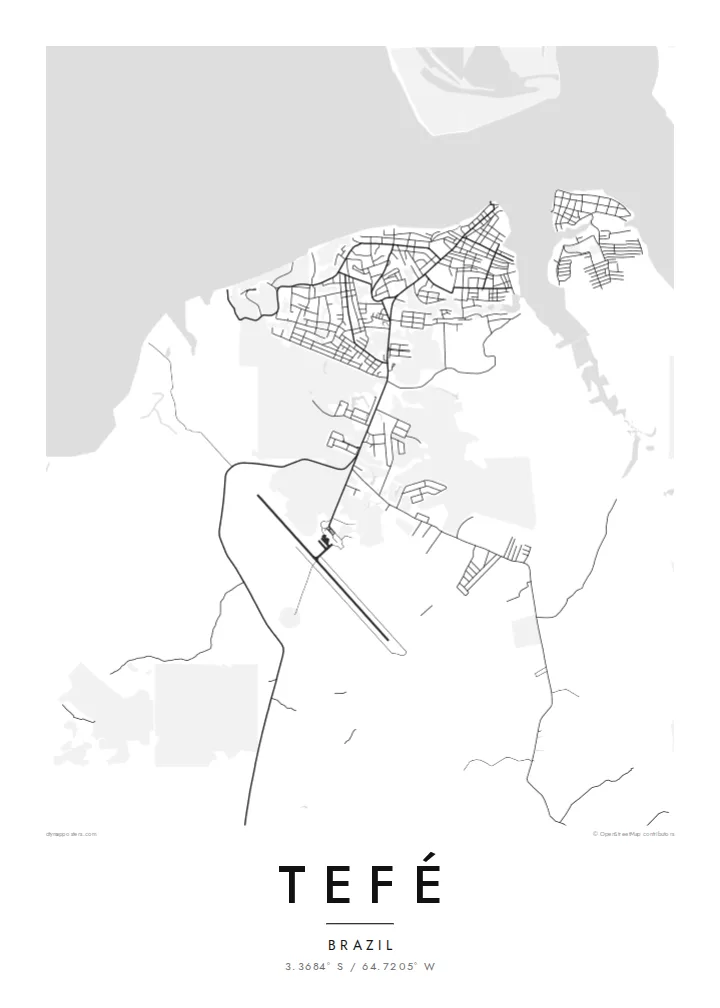
The town faces a broad lake that connects to the Solimões, and its waterfront edge is the strongest line on the map.
Poster peta minimalis · Brazil
3.3684° S / 64.7205° W
A river town on the shore of Lake Tefé, surrounded by Amazon forest and channels of water

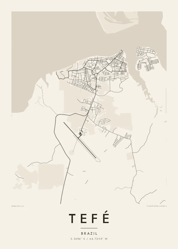

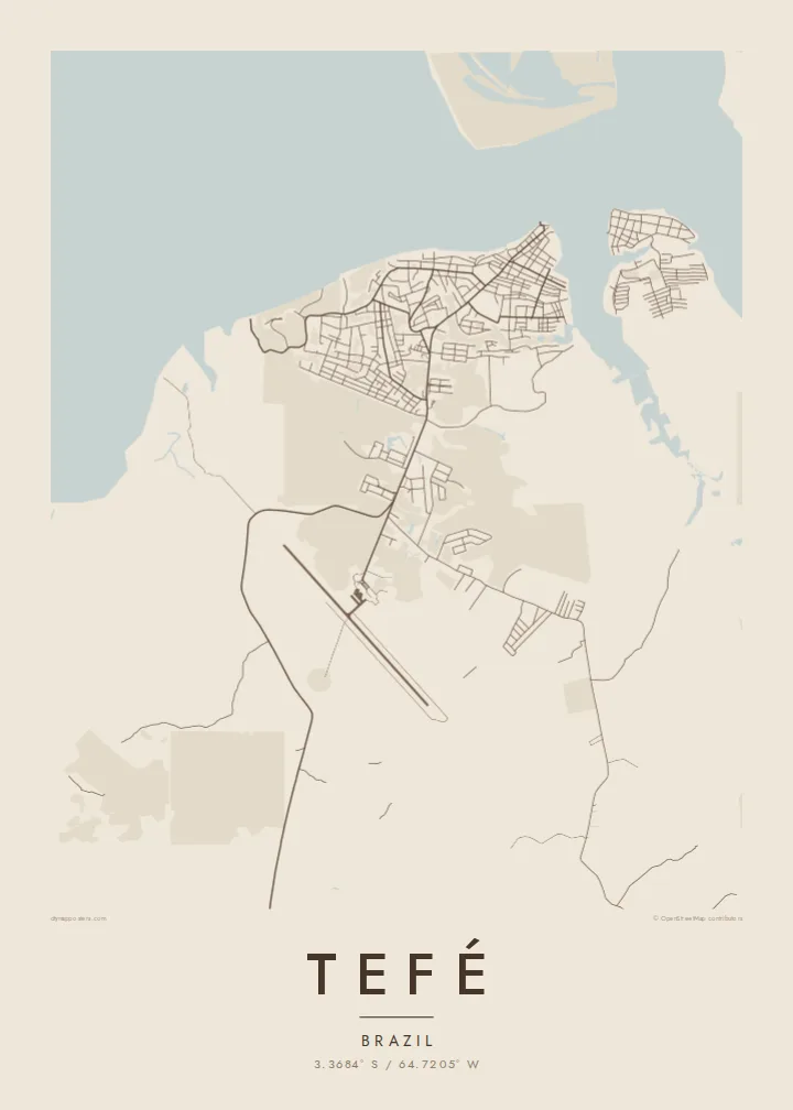
Satu bandar, lima suasana
Ketik gaya untuk melihatnya di dinding. Setiap gaya harganya sama — dicetak, dibingkai atau sebagai fail HD.
 Piksel sebenar · fail cetakan 24 × 36″
Tajam untuk cetakan
Ini ialah potongan 100% daripada fail cetakan sebenar. Setiap poster — dicetak, dibingkai atau dimuat turun — dijana di pelayan kami pada 300 DPI, sehingga 7,200 × 10,800 piksel, jadi lorong sekecil mana pun kekal tajam pada cetakan 24 × 36″.
Di dinding


Peta
Tefé lies in the middle of Brazil's Amazonas state, on the shore of Lake Tefé, a wide body of water that opens onto the Solimões, as the Amazon is called in this stretch. There is no road link to Manaus, so the town depends on boats and flights. On a map it is a compact cluster of streets set against water on one side and forest on the others.
The town is the base of the Mamirauá Institute, which studies the flooded várzea forests of the nearby reserves, and the region is known for research on river dolphins and seasonal flooding. Water levels here change a great deal through the year, moving the shoreline and reshaping the channels that connect the lake to the main river.
A Tefé map poster works almost like a sketch of the Amazon itself: a small grid of streets, a lake edge, and wide empty ground where the forest continues beyond the frame. The contrast is striking in black and white. It shows how much of this landscape belongs to water and trees, and how tightly the town holds onto its shore.
The town faces a broad lake that connects to the Solimões, and its waterfront edge is the strongest line on the map.
With no road connection to the wider region, the streets stay close together, forming a small, dense grid that ends abruptly at forest and water.
Around the town, the map opens into forest and seasonally flooded ground, with channels and lakes that change shape through the year.
Jadikan milik anda
Tambah tarikh, nama atau ayat anda sendiri, tukar gaya, saiz atau orientasi.
Pratonton percuma beresolusi rendah dengan tanda air. Cetakan dan fail HD dijana pada 300 DPI, sehingga 7,200 × 10,800 px, tanpa tanda air.
Kenapa Tefé
Tefé is a place people rarely reach by accident. A print of it suits researchers who worked on the rivers, families from Amazonas, or anyone who simply wants the lake and forest on their wall.
You can set a title, add a subtitle with a date or expedition name, and edit the coordinates line. Choose between Classic black & white, Noir, Paper, Blueprint and Sand. Blueprint suits a map this full of water.
Tempah poster Tefé| Saiz cetakan | Resolusi | Fail |
|---|---|---|
| 30 × 40 cm (11.8 × 15.7″) | 3,543 × 4,724 px | PNG · PDF |
| 29.7 × 42 cm (A3, 11.7 × 16.5″) | 3,508 × 4,961 px | PNG · PDF |
| 42 × 59.4 cm (A2, 16.5 × 23.4″) | 4,961 × 7,016 px | PNG · PDF |
| 45.7 × 61 cm (18 × 24″) | 5,400 × 7,200 px | PNG · PDF |
| 50 × 70 cm (19.7 × 27.6″) | 5,906 × 8,268 px | PNG · PDF |
| 61 × 91.4 cm (24 × 36″) | 7,200 × 10,800 px | PNG · PDF |
Sebagai perbandingan, pratonton percuma selebar 900 px, bertera air dan untuk skrin sahaja. Fail HD mempunyai resolusi sehingga 8× ganda pada setiap arah dan dicetak dengan kemas pada saiz poster penuh.
Pilih gaya di bahagian atas halaman, kemudian pilih Poster Cetakan — saiz dan, jika mahu, bingkai — atau Fail Digital HD. Pembayaran hanya satu langkah, dan halaman pesanan anda akan dikemas kini sebaik sahaja pembayaran selesai.
Ia dicetak pada kertas matte premium 200 gsm dalam salah satu daripada enam saiz, dari 30 × 40 cm hingga 24 × 36″. Poster cetakan bermula pada {printFrom}, penghantaran percuma.
Boleh. Pilih bingkai kayu pejal dalam warna hitam, putih, oak semula jadi atau kayu gelap. Ia dilengkapi kaca tahan pecah dan sedia untuk digantung. Poster berbingkai bermula pada {framedFrom}, penghantaran percuma.
Penghantaran percuma ke seluruh dunia. Setiap poster dicetak oleh rakan cetakan kami yang paling dekat di lebih 30 negara dan biasanya tiba dalam 3–7 hari bekerja. Anda boleh menyemak status dan penjejakan di bawah Pesanan Saya.
Hantarkan kami gambar dalam masa 14 hari selepas penghantaran dan kami akan mencetak semula secara percuma atau memberikan bayaran balik.
Boleh. Dalam editor di halaman ini, ubah tajuk, subtajuk dan baris koordinat mengikut kehendak anda, kemudian pilih gaya dan saiz. Pesanan cetakan, berbingkai dan digital semuanya menggunakan reka bentuk anda dengan tepat.
Dengan harga $9, anda dapat fail PNG 300 DPI dan PDF sedia cetak dalam kesemua enam saiz, tanpa tanda air, untuk dicetak di mana-mana sahaja. Belum pasti? Muat turun pratonton percuma bertanda air dahulu.
