Katsura River valley
The river winds through the centre of town in tight curves, setting the direction of every road and neighbourhood around it.
Poster peta minimalis · Jepun
35.5473° N / 138.9096° E
A long, narrow valley town in eastern Yamanashi, following the Katsura River between steep wooded slopes.


Satu bandar, lima suasana
Ketik gaya untuk melihatnya di dinding. Setiap gaya harganya sama — dicetak, dibingkai atau sebagai fail HD.
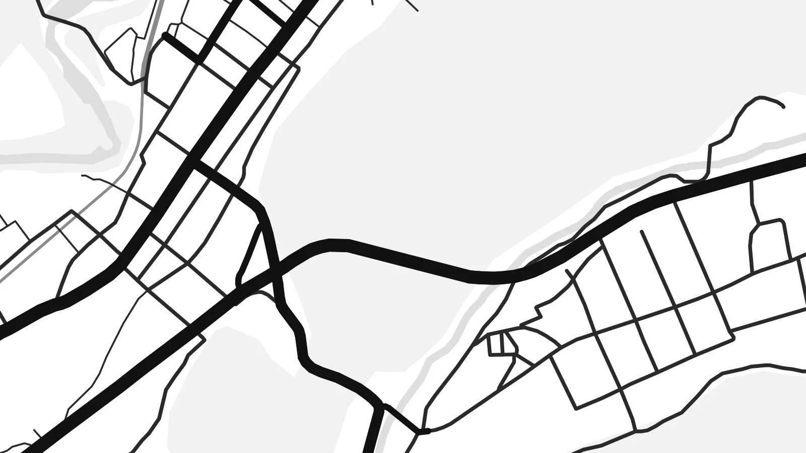 Piksel sebenar · fail cetakan 24 × 36″
Tajam untuk cetakan
Ini ialah potongan 100% daripada fail cetakan sebenar. Setiap poster — dicetak, dibingkai atau dimuat turun — dijana di pelayan kami pada 300 DPI, sehingga 7,200 × 10,800 piksel, jadi lorong sekecil mana pun kekal tajam pada cetakan 24 × 36″.
Di dinding


Peta
Tsuru lies in the mountainous east of Yamanashi Prefecture, where the Katsura River cuts a deep valley on its way toward Kanagawa. The town has little room to spread, so on a map it stretches along the valley floor in a thin band, with roads and the railway squeezed beside the river and side valleys branching off into the hills.
The Fuji Kyuko line runs through the valley from Otsuki toward Mount Fuji, and a branch of the Chuo Expressway follows the same corridor. Together with the winding river, these lines give the town a strongly directional shape. Houses, schools and small workshops fill the flat pockets, while forested slopes on either side remain almost free of streets.
Tsuru is also connected with the future of rail travel. The Yamanashi Maglev Test Line, used to develop Japan's superconducting maglev, runs through the city, and an exhibition centre lets visitors watch test trains pass. A Tsuru map poster shows a valley town where old river routes and new engineering sit side by side.
The river winds through the centre of town in tight curves, setting the direction of every road and neighbourhood around it.
The Fuji Kyuko line and the expressway follow the valley, drawing near-parallel lines that emphasise the town's long, narrow form.
Steep wooded hills rise on both sides of the valley, leaving broad unmarked areas that frame the built-up strip.
Jadikan milik anda
Tambah tarikh, nama atau ayat anda sendiri, tukar gaya, saiz atau orientasi.
Pratonton percuma beresolusi rendah dengan tanda air. Cetakan dan fail HD dijana pada 300 DPI, sehingga 7,200 × 10,800 px, tanpa tanda air.
Kenapa Tsuru
Tsuru is a place many pass through on the way to Mount Fuji, but those who live or study here know its valleys closely. A map poster gives the town's shape its due, a long thread of streets held in place by the mountains.
Personalise the title, subtitle and coordinates line with a name or date that matters to you. Choose Classic black & white, Noir, Paper, Blueprint or Sand, and order a print or the $9 digital files in six sizes.
Tempah poster Tsuru| Saiz cetakan | Resolusi | Fail |
|---|---|---|
| 30 × 40 cm (11.8 × 15.7″) | 3,543 × 4,724 px | PNG · PDF |
| 29.7 × 42 cm (A3, 11.7 × 16.5″) | 3,508 × 4,961 px | PNG · PDF |
| 42 × 59.4 cm (A2, 16.5 × 23.4″) | 4,961 × 7,016 px | PNG · PDF |
| 45.7 × 61 cm (18 × 24″) | 5,400 × 7,200 px | PNG · PDF |
| 50 × 70 cm (19.7 × 27.6″) | 5,906 × 8,268 px | PNG · PDF |
| 61 × 91.4 cm (24 × 36″) | 7,200 × 10,800 px | PNG · PDF |
Sebagai perbandingan, pratonton percuma selebar 900 px, bertera air dan untuk skrin sahaja. Fail HD mempunyai resolusi sehingga 8× ganda pada setiap arah dan dicetak dengan kemas pada saiz poster penuh.
Pilih gaya di bahagian atas halaman, kemudian pilih Poster Cetakan — saiz dan, jika mahu, bingkai — atau Fail Digital HD. Pembayaran hanya satu langkah, dan halaman pesanan anda akan dikemas kini sebaik sahaja pembayaran selesai.
Ia dicetak pada kertas matte premium 200 gsm dalam salah satu daripada enam saiz, dari 30 × 40 cm hingga 24 × 36″. Poster cetakan bermula pada {printFrom}, penghantaran percuma.
Boleh. Pilih bingkai kayu pejal dalam warna hitam, putih, oak semula jadi atau kayu gelap. Ia dilengkapi kaca tahan pecah dan sedia untuk digantung. Poster berbingkai bermula pada {framedFrom}, penghantaran percuma.
Penghantaran percuma ke seluruh dunia. Setiap poster dicetak oleh rakan cetakan kami yang terdekat di lebih 30 negara dan biasanya tiba dalam 3–7 hari bekerja. Anda boleh menjejak status dan pengesanan di bawah Pesanan Saya. Beberapa negara mengambil masa 2–5 minggu, dan jika kami belum menghantar ke sana, laman web akan memberitahu anda sebelum anda membayar.
Hantarkan kami gambar dalam masa 14 hari selepas penghantaran dan kami akan mencetak semula secara percuma atau memberikan bayaran balik.
Boleh. Dalam editor di halaman ini, ubah tajuk, subtajuk dan baris koordinat mengikut kehendak anda, kemudian pilih gaya dan saiz. Pesanan cetakan, berbingkai dan digital semuanya menggunakan reka bentuk anda dengan tepat.
Dengan harga $9, anda dapat fail PNG 300 DPI dan PDF sedia cetak dalam kesemua enam saiz, tanpa tanda air, untuk dicetak di mana-mana sahaja. Belum pasti? Muat turun pratonton percuma bertanda air dahulu.
Berdekatan
